


Introduction
“The surface, at a distance, looks black and dirty, and will bear neither horse nor man….. What nature meant by such a useless production ‘tis hard to imagine, but the land is entirely to waste” are the words of Daniel Defoe as he rode through Risley in 1724.
The name Risley comes from two Old English words “hris” and “leah” meaning “twigs, brushwood” and “tract of open ground” respectively, so that Risley means an area of open ground covered with twigs or brushwood.
Risley is a neighbourhood in the north-east corner of Warrington. In the past travellers avoided the Risley area because of its dangerous mossland, but over time much of the fertile mossland was reclaimed and turned into farmland.
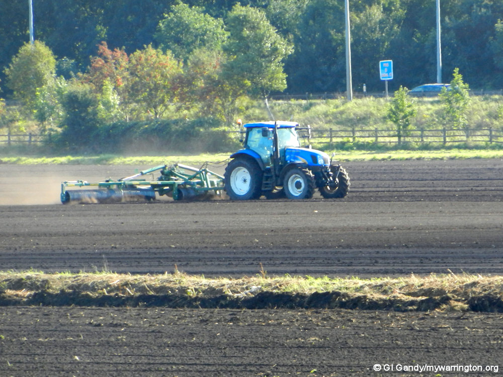
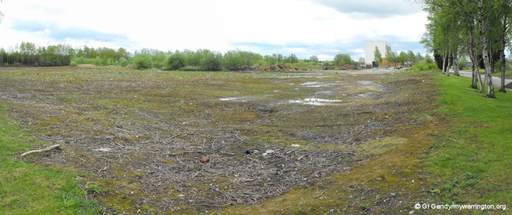
A farmer close to Birchwood railway station (22 Sep 2013)
Back in Time
Warrington and the Mid-Mersey Valley by G.A. Carter tells us that originally, Risley belonged to Culcheth and when Gilbert de Culcheth was killed in 1246, his estates passed to his four daughters (Margaret, Elizabeth, Ellen and Joan) who married four sons of Hugh de Hindley.
The part of Culcheth known as Risley passed to Ellen, whose husband Robert elected to be called Risley. Generations of this family resided in the area until 1736 when the manor was acquired by local landowner John Ireland Blackburne. One member of the family, Thomas Risley, set up the Risley Chapel in the late 17th century. Read his profile in Warrington People.

Silver Lane alongside the M62 (8 Aug 2012)
The Noggin Inn
The earliest mention of the Noggin Inn is 19 November 1799 in the Manchester Mercury in an article advertising local land for sale. Crofthistory.org lists a timeline of former owners of the pub on Warrington Road. The pub closed in 2018 and was demolished in February 2024.
But what was a noggin? The word “noggin” has an uncertain origin, but it’s first recorded in the early 17th century as a small drinking cup or mug. It later came to refer to a small drink, typically a quarter of a pint, and eventually, in the 18th century, it took on the slang meaning of “head”.
See also crofthistory.org where you can learn about a second Noggin Inn across the road from the original.

The Noggin Inn on 7 Mar 2012
ROF Risley
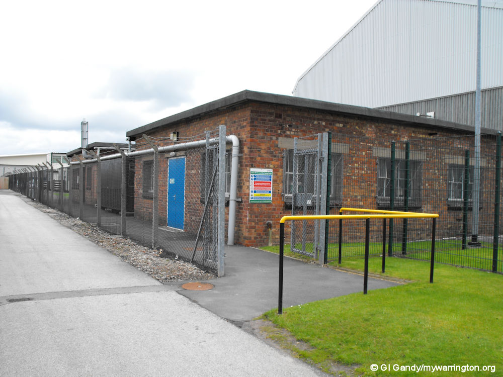
An old building from ROF Risley (11 May 2012)
In 1939 the UK government used compulsory purchasing powers to build a Royal Ordnance Factory (ROF) in Risley. The location for the ROF was chosen because the low-lying mist and cloud helped to camouflage the factory from the air. Construction was completed within 18 months. A local builder said, “It was very lonely and misty at night, and that’s why the factory was constructed there… it was usually covered with a mist or cloud. It was hard to see it in the daytime, you know”. Although the location of the factory was known by the German Air Force, the factory was bombed only once during the war.

A sealed bunker in Birchwood Forest Park on 19 Aug 2006
A number of bunkers were also built (some can still be seen today) to house the munitions, to protect them from bombing and also to segregate the site and reduce the consequences of any accidental explosions during manufacture or storage. Although these bunkers are on the surface, they are covered with soil and turf and so give the impression of being underground. Birchwood Forest Park now incorporates the old bunkers from the factory as part of the landscape. Read more detail in Wikipedia.
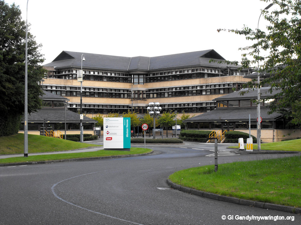
Hinton House was the head office of the UKAEA and is named after Christopher Hinton. In 1946, Hinton was appointed Deputy Controller of Production, Atomic Energy, and in 1954 when the Atomic Energy Authority was formed, he was appointed Member for Engineering and Production as Managing Director of ‘Industrial Group Risley’ which comprised the Risley headquarters. Read Hinton’s profile in Warrington People
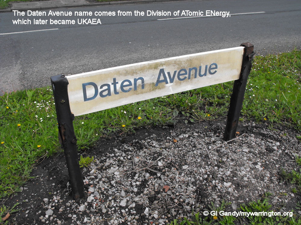
After the war the factory no longer had a purpose, other than as a storage depot, so in 1956 the north-west area of the factory was sold to the Division of Atomic Energy at Risley. The department later became the United Kingdom Atomic Energy Authority (UKAEA). The design of the nuclear reactors took place at Risley and process plants were located at Windscale to help build the UK’s atomic defence. Daten Avenue links Birchwood Way with the Risley industrial site. Daten is made up from Division of ATomic ENergy.
After the UKAEA had finished with the site, the entire disused area was put on the market in 1963. No buyer was found for it until 1968, when Warrington New Town Development Corporation bought the site and turned it into the new district of Birchwood.


Remnants of ROF Risley can still be seen today, as of 11 May 2012
Risley Prison
HM Prison Risley opened as a remand centre for male and female inmates in 1964.
A category C prison opened on the site in 1990 alongside the remand centre. Risley ceased to hold females in April 1999 and from March 2000 Risley operated as a category C prison for adult males only.
Over 1,000 prisoners live at the prison in mostly single cells with in-cell sanitation and phones (calls can be made to previously-vetted numbers and all are recorded). There are landing showers, serveries, in-cell mains power and in-cell TVs installed throughout the prison.
Work for inmates at Risley includes the kitchen, laundry, stores, cleaning, gardens, waste management and the Braille workshop. In addition, inmates may train for vocations in painting and decorating, joinery, industrial cleaning and construction. Courses in art and design, information technology, and higher level learning (including the Open University programmes) are also available.
Other facilities at the prison include a gym and a multi-faith chaplaincy.

HM Prison Risley from the air by Thomas Nugent. This file is licensed under the Creative Commons Attribution-Share Alike 2.0 Generic license. Read more here. The image here is slightly enlarged to match the size of other images on the mywarrington website. The prison buildings are in the centre right of the photo, with Risley and Birchwood to the right alongside the M62 motorway and Culcheth on the left of the photo.
Birchwood Technology Park
Birchwood Technology Park is a science and business site on the west side of Birchwood. It was previously home to the UKAEA offices and since 1998 the site has expanded to accommodate a mixture of science, technology and engineering companies.


Daten Sports and Social Club
Based on a Warrington Guardian story from March 2007 by Gordon Brown.
Towards the end of the 1940s Bob Brown had just turned 40 and was still playing soccer. After a Royal Air Force career of playing at Padgate, Manston, Halton, Rutland, Aberdeen and Wilmslow camps, he was demobbed in 1946. He took up employment at Risley at the start of the nuclear energy centre.
The same initials from the Division of Atomic Energy made up the name for Daten Sports and Social Club and also the name of the football team.
Daten wore blue and gold shirts and early matches were played against Drawing Office Rangers from Vulcan Foundry, Newton-le-Willows, Statham Lads’ Club, Orford Tannery and Penketh Athletic in the Warrington and District League third division.
Daten played home games at Lyons Lane, Appleton, a Ministry of Supply ground, but have been established for around over 50 years at Culcheth, where they took over the former HMS Aerial land-based ship as a sports ground and social club and where a nuclear industry workers’ hostel was established.
Games had also been played at Newchurch Hall, off the Warrington to Leigh road. Daten’s inter-departmental games were also played at Newchurch Hall and at HM Aerial pitches in Withington Avenue, Culcheth. Friendly games would be played against the likes of Glazebury Church, a force to be reckoned with in the Leigh and District Sunday Schools League at that time and later in the Warrington and District League. Daten started life basically with players employed at Risley, but it was not long before a bit of extra strength was needed. See the Warrington Guardian report for more on the story.
Daten Sports and Social Club is now known as Culcheth Sports Club. Click here for a history of the club.
On The Map
As you travel back to Birchwood from Risley Prison you come to a roundabout with a Spar shop by the second exit. This was the location of Risley School from the OS 25 Inch map 1892-1914. Birchwood Technology Park now occupies the land to the east of the former school, land that was originally owned by Garret Farm.
On the map, Cross Lane Farm was opposite the original Noggin Inn and there was a smithy south of the pub. Other farms in the area were Clay Brow Farm and White House Farm, now known as Whitegate Farm with its entrance on Warrington Road. Further along Warrington Road on the right before Risley Prison is Rowe Farm.
On Cross Lane itself there was a Presbyterian church and burial ground with Risley Manse alongside (a manse is a house provided for a minister of certain Christian churches, especially the Presbyterian church). The M62 motorway now runs across the site of the manse as well as the site of Clay Brow Farm.

The Spar shop is the site of the former Risley School, as seen on 11 May 2012
Warrington Road viewed north from Datan Ave/Birchwood Park Ave roundabout (11 May 2012)


For more on how the other parts of Risley look today, see the Birchwood section of Downtown, the Birchwood Forest Park and Risley Moss Nature Reserve sections of Warrington Green and the ROF Risley section of Military Service.
