
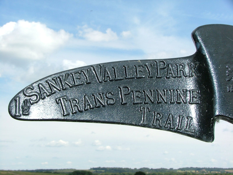
The historic 15 mile Sankey Valley follows the course of England’s oldest canal since the Industrial Revolution, linking St. Helens with Warrington through to Widnes. Sankey Valley Park is a public park occupying part of the Sankey Valley.
Information provided by Warrington Borough Council
Additional information, photos and captions Copyright © Gordon I Gandy
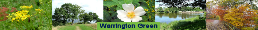
Running through the park is the historic Sankey Canal. Opened in 1757, it was the country’s first true canal of the Industrial Revolution, The canal was originally used to carry coal from St Helens to Liverpool and in later years to carry sugar from Liverpool to Sankey Sugar Works at Earlestown. It pioneered the canal age, with the first art of the Bridgewater Canal opening in 1761.
The Act authorising the Sankey Brook Navigation, as the Sankey Canal was originally known, was passed in 1755. The engineer was Henry Berry who was the Liverpool’s Second Dock Engineer. The canal was built for the Mersey flats, the sailing craft of the local rivers – the Mersey, Irwell and Weaver – and the Lancashire and North Wales coasts. To allow for the masts, all the roads in the canal’s path had to be carried over swing bridges.
Sankey Valley Park was created between St Helens and Spike Island at Widnes (close to Runcorn-Widnes Bridge), via north and west Warrington (Winwick, Callands, Dallam, Bewsey, Sankey and Fiddlers Ferry). It opened on 25 July 1982 and forms part of the larger Mersey Forest and Trans Pennine Trail. The area around Callands was once woodland and formed part of the royal hunting forest of Henry I. Today the local authorities of Warrington, St Helens and Halton, along with the Helens and Halton, along with the Sankey Canal Restoration Society, are developing the Sankey Canal Trail as a 15-mile (24 km) greenway, whilst working towards the restoration of a navigation route.
Sankey Valley Park at the A57 Liverpool Road entrance. The Sankey Brook flows the other side of the trees on the right.
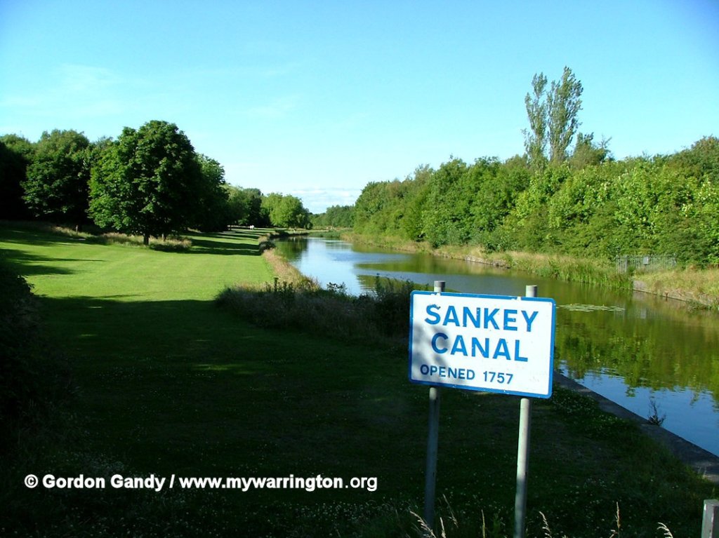
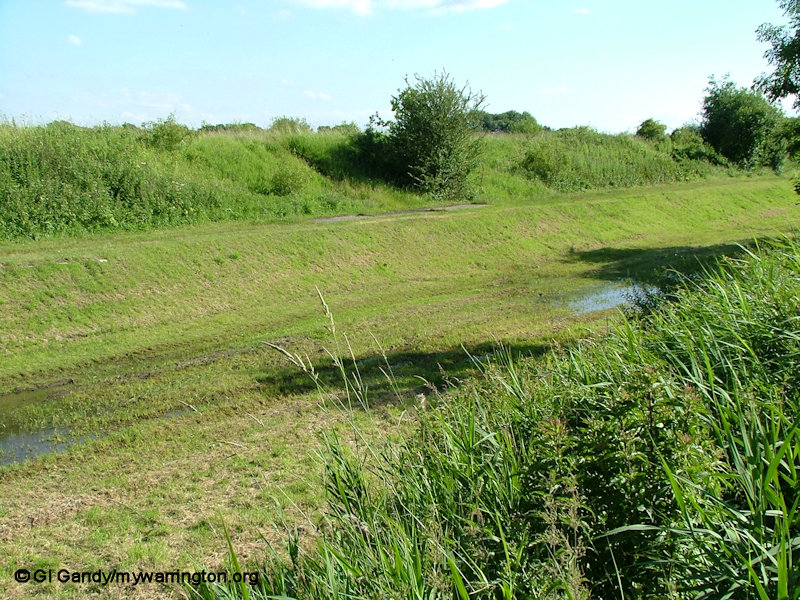
One of the green spaces at Callands where new housing was built from the late 1970s onwards alongside the Sankey canal. the estate is named after Callands Farm in the west of the district.
So come on a journey through the Warrington section of Sankey Valley from north
to south and west, not forgetting the Sankey Canal page for more history.
Winwick
The area around Winwick Maintenance Yard.
The canal flowed through the section that is now filled in and covered with grass
The maintenance yard was a hive of activity from 1841 when it was built. Boats were repaired and other repair jobs were completed.
Across the canal the dry dock was also used. Boats a lock gate was opened and the footbridge was opened. Once the boat was in the dry dock a culvert at the side was opened and the water drained from the dock so work repairs could be done on the vessels.
Further along there was another lock to allow the boats to continue north. The filled-in remains can be seen on the opposite side of the M62 motorway.
The maintenance yard workshop, built in 1841
and still in use today for another business


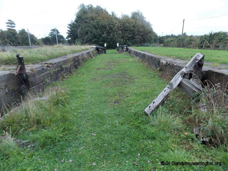
Walking south we approach Dallam, passing the former Hulme Lock.
When the railways came, the canals went into a long decline and the Sankey Canal was officially closed in 1963. Today the local authorities of Warrington, St. Helens and Halton, along with the Sankey Canal Restoration Society (SCARS), are developing the Sankey Canal Trail as a 15-mile greenway, along with Hulme Lock, situated immediately south of the M62. The area around the lock was completely infilled in 1974.
SCARS, in partnership with the Ranger Service, have partially excavated the lock chamber; refurbished the dry dock and uncovered the foundations of the lock keepers cottage. The whole Hulme Lock site is being developed as a heritage feature, with regular workdays taking place.
Click to link to the SCARS website. Also check out On The Waterfront for more on the history of the canal.
You can see the remains of the lock and lockkeeper’s cottage

The route of the canal (centre, right) with the path to the lockkeeper’s cottage on the left


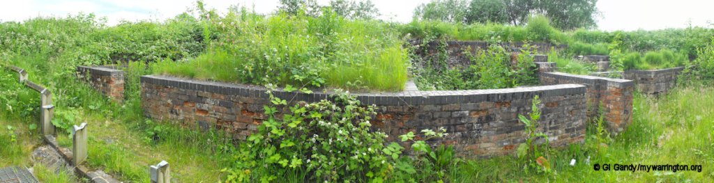
Remains of the cottage
Dallam
The name Dallam means ‘valley meadow’
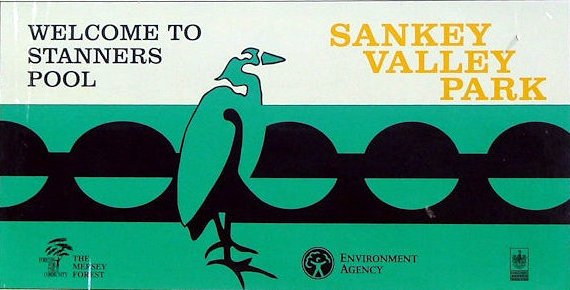
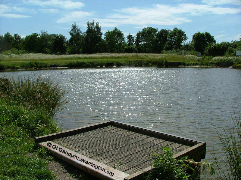
Stanners Pool is named after Dave Stanner, a Dallam resident who is no longer with us. It is stocked with a variety of fish, including rudd, bream, carp, gudgeon and perch. In my senior school days in the second half of the 1970s, the canal banks formed part of our cross-country route from Bewsey Lock to what is now the A574 Cromwell Avenue near Callands, doubling back through Callands Farm fields and Bewsey Woods.
It was all farmland in those days. Our games master always offered 2p to anybody who could beat him back to the school gym. Nobody got paid!
We had a shorter cross-country route around Bewsey Woods and this came to my advantage. It was a well-known fact at school that I was not a sporty kind of person (C- “far too timid, must try harder” was on one of my school reports!)
So Sir must have been very surprised to find me asking to go on the cross-country run every lesson. What he didn’t know was that I used to run out of school and off into the woods on the short route. Except my short route was even shorter than the official short route! As soon as I got out of site of the playing fields I used to stop in the woods for an hour before going back to school. He never did find out!
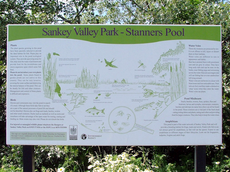
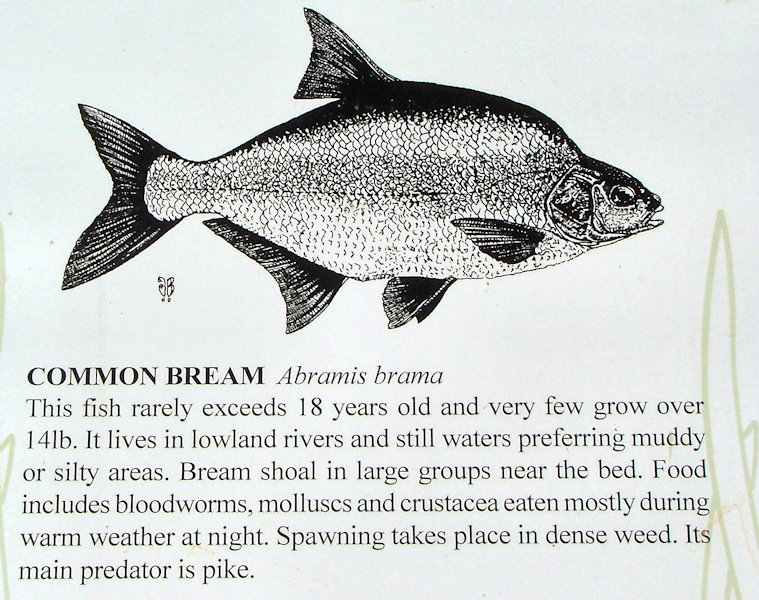
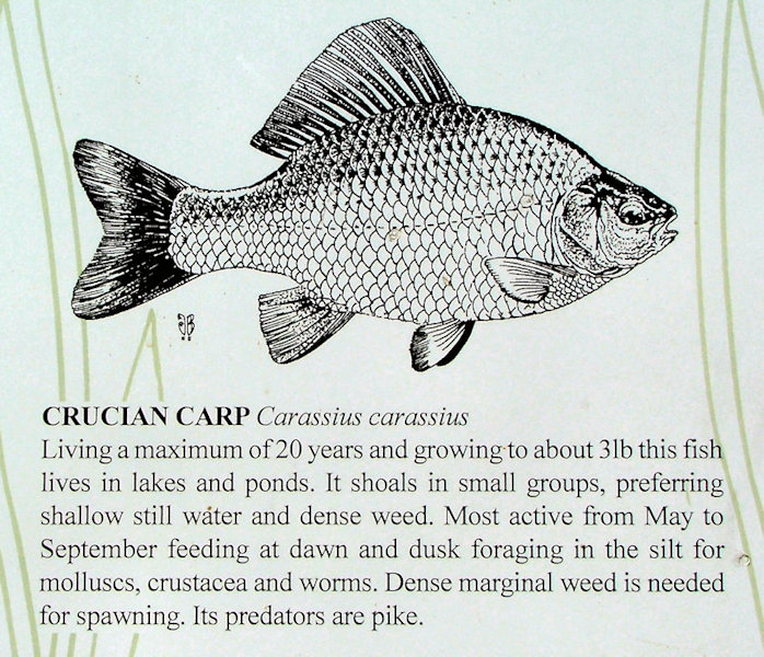
Start the manual slideshow to read about the different types of fish in Stanner’s Pool.


At the opposite end of Dallam, the Sankey Canal is seen here looking from the Callands side. The building on the left is the former St Mark;s Church in Dallam, now used by Oasis fellowship. It was at this point that the Sankey Canal turned southeast towards Sankey Bridges.

Bewsey
The name Bewsey comes from ‘beau see’ meaning beautiful site.
Close to Bewsey Woods and Callands at Westbrook is Gulliver’s World Theme park, which opened in 1989. Bewsey Woods is managed by The Woodland Trust. On my school cross-country skives we were often accompanied by a dog through the woods. One friend said the dog would never get lost – he knows these woods like the back of his paw!
An array of wildlife can be found in the park. Diurnal creatures include squirrels, swans, butterflies and woodland birds.
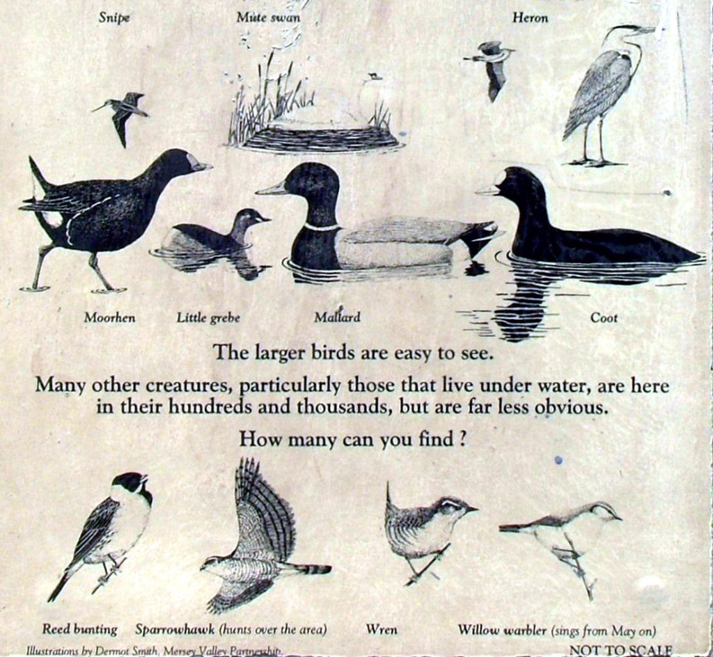
Nocturnal inhabitants include foxes, owls, mice, hedgehogs and bats. More rarely seen species such as stoats and weasels, treecreepers, kingfishers, water voles and reed bunting have all been spotted in the park.

Bewsey Bridge at the bottom of Lodge Lane and crossed by many Americans on their way back to RAF Burtonwood during World War Two.
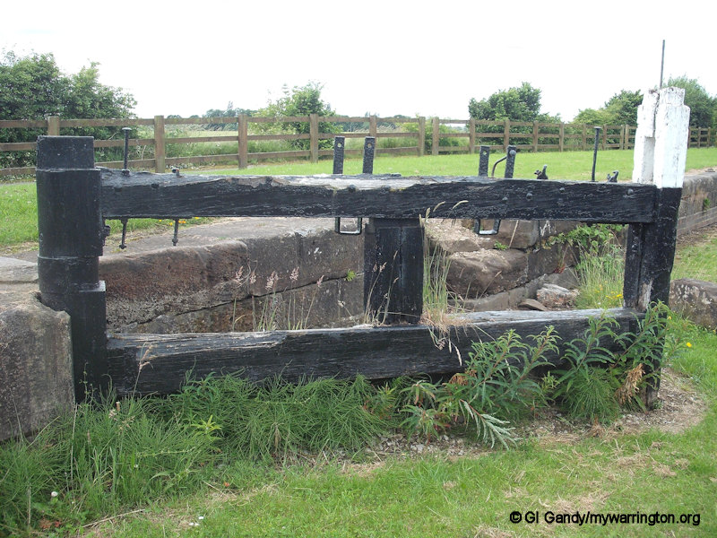
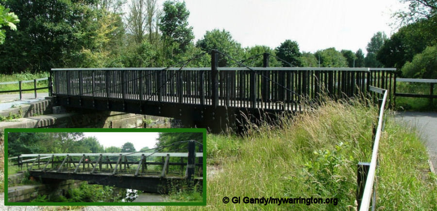
Bewsey Lock
The walls of Bewsey Lock are still in place today, although the lock gates are not, but the last set to be built did survived into the 1970s. As Sankey Valley Park was developed in the early 1980s the bridge was included in the pathways and in 2007 a new bridge was put in place to replace the old one (see my photo, below). The northern section of the old canal bed between Bewsey and Callands is normally dry and can be crossed on foot, but is prone to flooding. You can read the noticeboard alongside the lock which tells the story of the history and workings of the lock.
The area leading up to Bewsey Lock from the south.
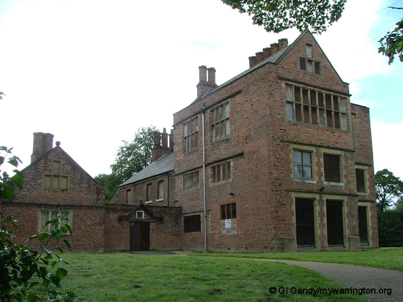
Bewsey Old Hall
Bewsey (Old) Hall was the home to the lords of the manor of Warrington from the 13th century to the 17th.
Prior to the Hall being built, a monastic grange existed on the site. A hall was first built on the site by William Fitz Almeric le Boteler.
The current hall is a three-storey, mostly Jacobean building. It has distinctive chimneys and stone mullion windows, which are most likely the work of Sir Thomas Ireland and date back to around 1600. Sir Thomas was knighted at Bewsey by King James I in 1617.
Later additions to the Hall include a farmhouse and kitchen, dating from the 18th century and 19th century with earlier foundations. The original 14th century moat only partly holds water today.
During archaeological excavations in the 1980s many artefacts were found, including a medieval leather shoe, pottery, coins and a seal die from the 14th century carrying the impression of a rabbit.
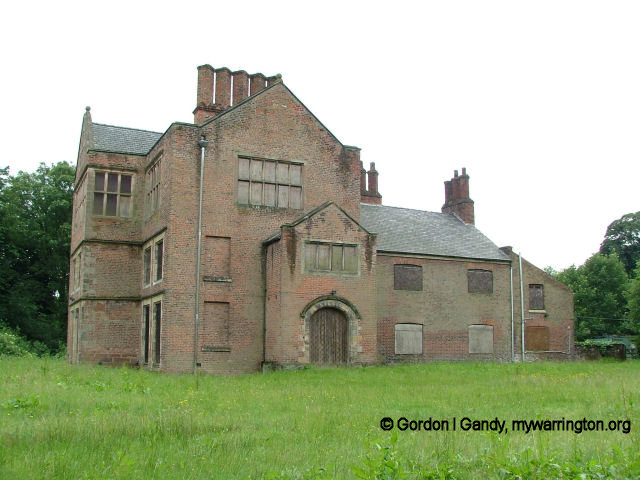
The building has now been converted into private apartments

Lady Isabella’s statue in the maze close to the hall.
Sadly the maze is locked up and unavailable to the public today.
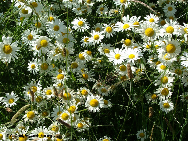
In late spring, orchids can be found in the meadow, whilst a wealth of butterflies visit during the summer.
Most of the mature woodlands within the valley are owned by the Woodland Trust who safeguard woods within the landscape, protect habitats for the benefit of wildlife and encourage public access and enjoyment. The woods are particularly picturesque around spring, when an assortment of wild flowers can be seen, and during the autumn leaf falls.
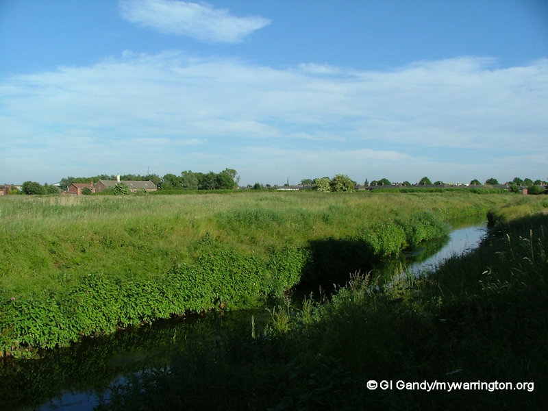
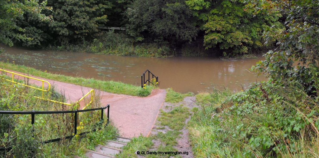
A variety of water plants, animals and birds can be seen in or around the park’s many ponds, Sankey Brook, the Wetland Nature Reserve or in the canal itself.
Burtonwood Air Base
Earlier I mentioned RAF Burtonwood.
Burtonwood Air Base opened in 1940, just in time to supply Spitfires for the Battle of Britain, and was probably the largest military base in Europe during the war.
With 18 miles of surface roadway and a peak of 18,063 personnel, this huge site had a massive impact on Warrington as a whole.
The Gate 4 entrance to the Base was situated near Bewsey Old Hall, adjacent to the black and white cottage. The concrete base of the guard house, a small section of airbase fencing and a remnant of the camp road, complete with ‘cats eyes’ can still be seen at this point.
The road to RAF Burtonwood, now closed to vehicles. North of this point is Gulliver’s World theme park.
Old Hall
The Old Hall district of Warrington is named after the hall. Over recent years many attempts have been made to create other uses for the ancient hall, including a youth centre and, more controversially, a hotel.
The current building is about 400 years old. The cottage, Bewsey Hall Lodge, is a private dwelling. In the early 21st century the hall was turned into luxury apartments.


Whitecross and Great Sankey

As we walk south and under the railway viaduct of the former Cheshire Lines Railway (now used by East Midlands Railway and Northern Trains), we approach the area above between Whitecross and Great Sankey.
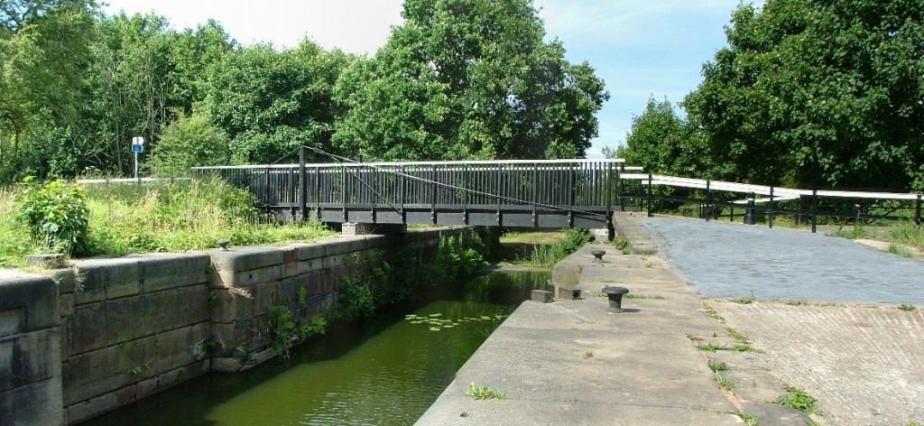
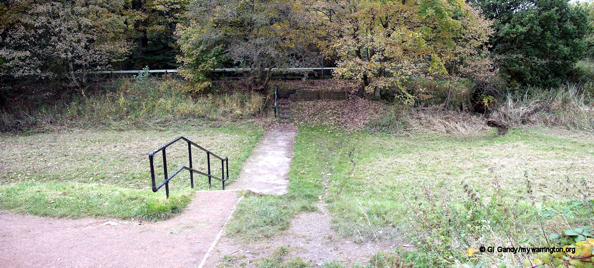
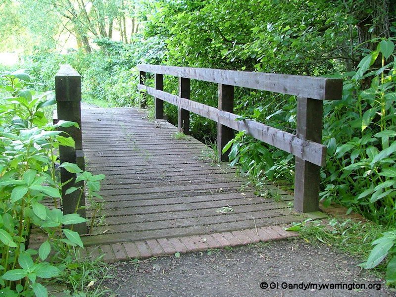
On the Whitecross side you can visit the Wetland Nature Reserve, three quarters of a mile from Bewsey Old Hall, over the footbridge near Whitecross Community Centre. A noticeboard gives details of the kinds of creatures living in the park, as seen in the photos below.


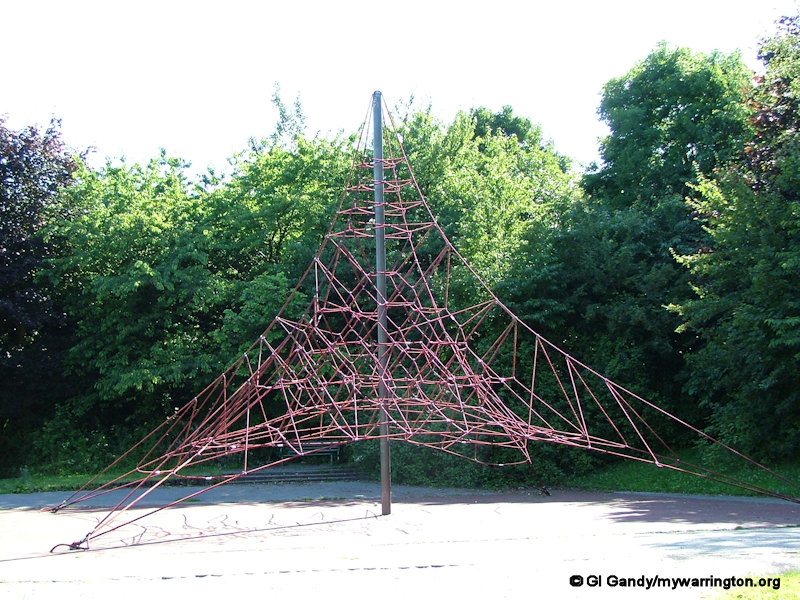
And now two popular play areas which are sadly no longer in the park. The ship and the spider’s web. They were located on the western bank of the canal between Whitecross and the A57 road.

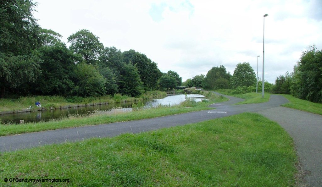
Sankey Bridges
Some information taken from or based on the noticeboard at Sankey Bridges (shown here for reference), which was produced by Warrington Borough Council Ranger Service in conjunction with the Sankey Canal Restoration Society – 2003. With acknowledgment to https://wmag.culturewarrington.org/ for guidance on the use of text.

The area around Sankey Bridges has seen many changes during the industrial revolution. The construction of the Sankey Canal marked the beginning of a period of transformation.
Commercial industries relating to the canal, housing and social provision for the workers all developed making the area lively and prosperous.
Private wharves, a coal yard and a public house called the “Revolution Sloop” existed in the area in 1756, the year before the Sankey Canal was opened.
A boat yard and dry dock followed. Originally belonging to the Clare family the yard started building “Mersey flats” in 1807 and continued for most of the century.
See the Sankey Bridges section of Great Sankey for a more detailed report on the industry around Sankey Bridges.
There was some concern about deterioration of the lock gates and brickwork caused by the pollution from chemical plants of St Helens. In 1881 lock walls were collapsing and a maintenance dredger was brought in 1881 and tried out at Sankey Bridges the keep the canal useable. In 1913 the last boat was built at Sankey Bridges with repair facilities being maintained until after World War One. The hand operated swing bridge for road traffic was replaced in 1915 by an electrically worked bascule bridge. In 1930 the bridge was strengthened and in 1972 was replaced by a fixed bridge. The recent works in this area were funded by the former North West Development Agency, which was abolished on 31 March 2012. Their Land Reclamation Scheme aims to reclaim derelict and underused old industrial land creating parkland, woodland and nature reserves.

Fiddler’s Ferry power station and the Sankey Canal. The power station opened in 1971 and was decommissioned on 31 March 2020 and will be demolished in the coming years.
For the remainder of this section I will share images from my journey along the Sankey Valley.
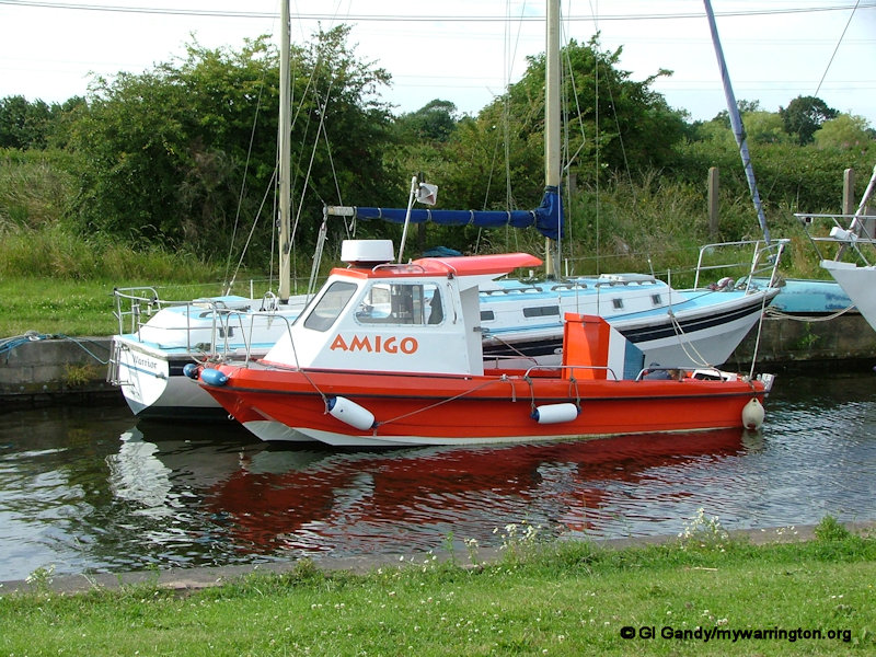
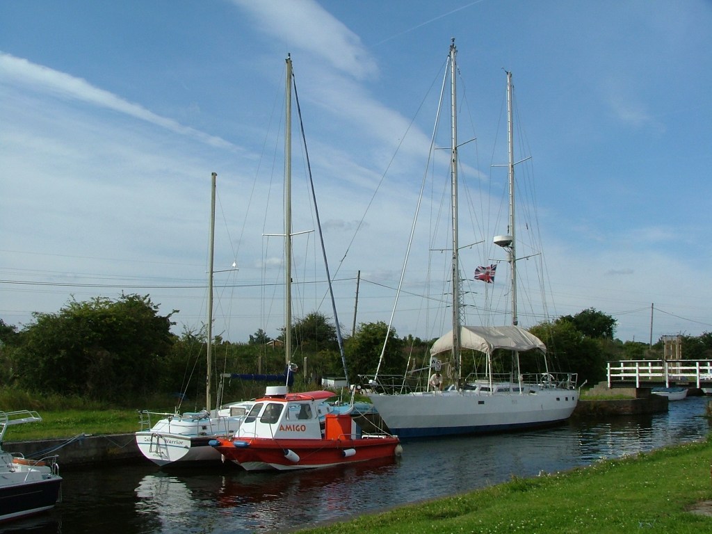
I will start with these images of Fiddler’s Ferry Yacht Haven.


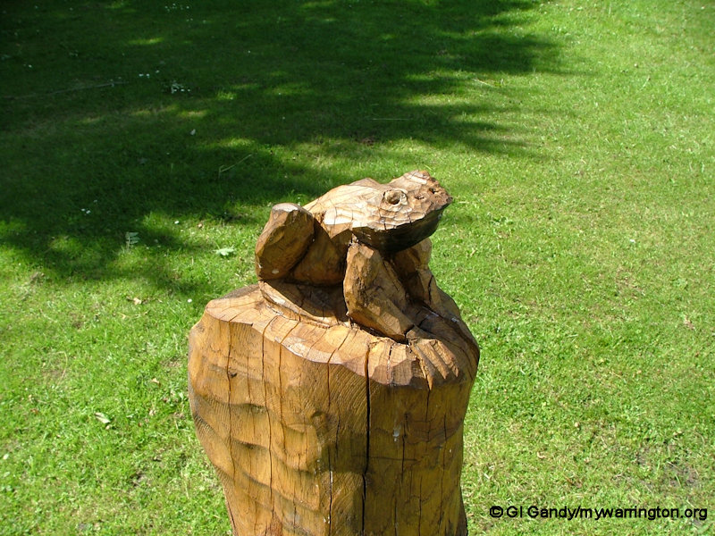
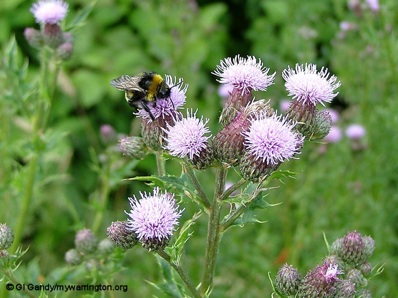
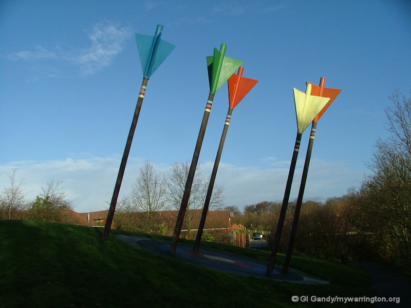
The final set of photos are in no particular order. Maybe have some fun trying to work out where in Warrington along Sankey Valley they were taken (apart from the flowers and plants, etc – even I wouldn’t know where I took them unless I went back to the files!).


See Warrington Borough Council’s website for latest information on the green spaces around the town.
Check with Warrington’s Own Buses for up-to-date information on bus timetables.
