
Bewsey Meadows is a green area of Warrington created in 2008 when land close to Bewsey Old Hall was developed out of a former landfill tip (known as Bewsey Tip).
Funding for the new footpaths and habitat improvements came from Warrington Borough Council, the Northwest Regional Development Agency and Cheshire County Council.
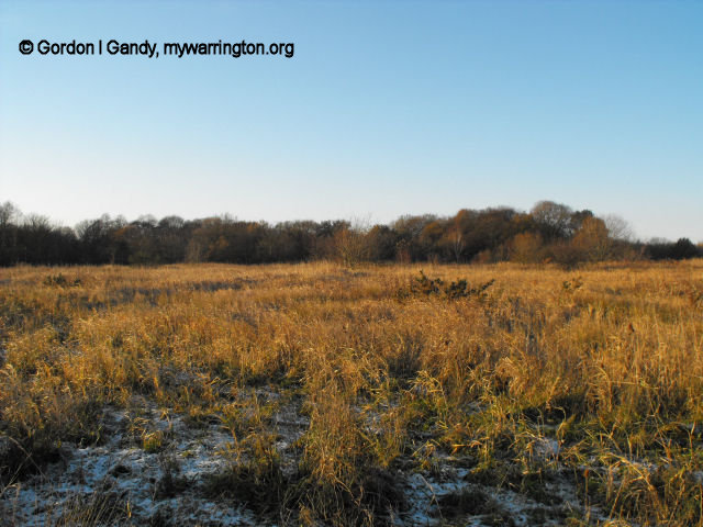
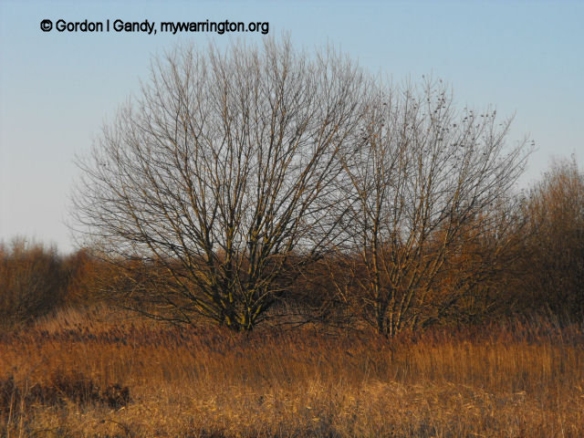
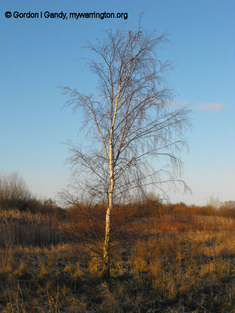
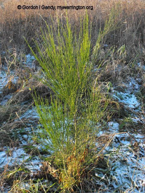
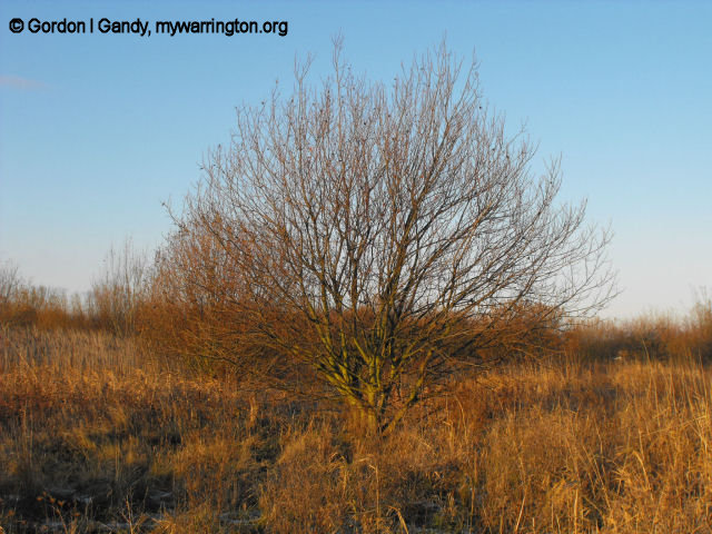
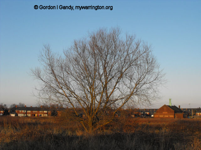
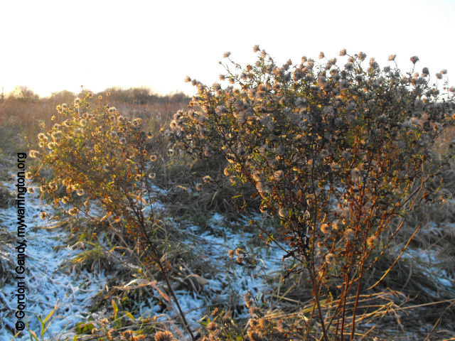
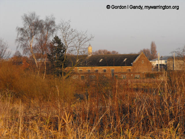
Information boards around the Meadows give details on the history of the site, plus descriptions of the types of wildlife you can expect to see. The photos in this section were taken on 18 March 2009 and 30 November 2010. As the site matures over the years I will revisit to take further photos.
From the 13th to the 17th centuries the land belonged to the Lords of the Manor of Warrington who lived at Bewsey Old Hall. The Sankey Brook, which runs nearby, was really just a few small channels of water. It wasn’t until 1757 that the Sankey Canal, also known as the St Helens Canal, was opened in part along the west side of the site. Originally, the Act of Parliament was to make the Sankey Brook navigable, but it was decided to build a totally separate channel. The district of Dallam is close by and the name is said to mean ‘valley meadow’, with Bewsey meaning ‘beautiful site’.

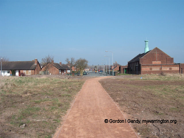
Notice in the second view (from Callands) the path dips down a slope and up again on the other side. This is because the former route of the Sankey Canal ran from the north (to the left and behind the camera view) and then turned west across the line of the current pathway.
The section between this point and Bewsey Lock is infilled today. Take care when it rains heavily as this section tends to flood. If it does flood, access would be via Dallam or through Sankey Valley Park to the right and over Bewsey Lock bridge, then via the slope in the third photo.
The fields close to Bewsey Hall were known as Bewsey Pleck and Dallam Pleck. A ‘pleck’ was a name for a plot of land of no particular size. The site became known as ‘Lock Field’ and was used as farmland for a period of time.
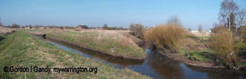
Panoramic view shows the Sankey Brook and Dallam Brook (River Atherton)
(Mar 2009)
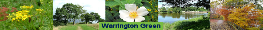
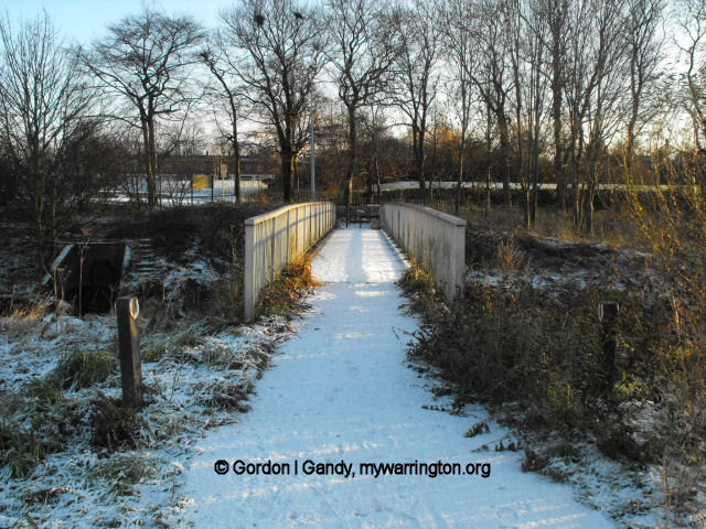
Callands entrance

to the Meadows
Sankey Valley Park was created in the 1980s and the use of the land as a tip came to an end. The Sankey Brook and Sankey Canal were slightly diverted (and merged at one point near Dallam). The site was left to mature and in 2008 new pathways were constructed on the site. Bewsey Meadows has now been designated a Site of Importance for Nature Conservation.
So what might you seen at the Meadows?
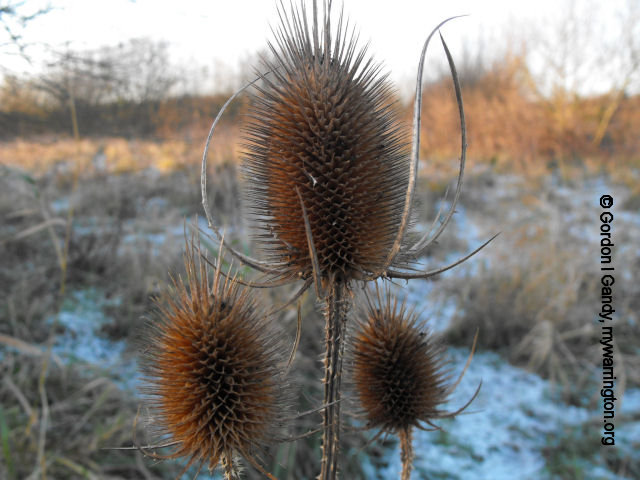
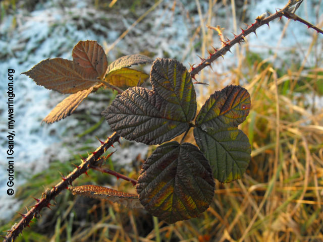
Plant life includes reed canary grass, common reed (Phragmites), soft rush, teasel, bird’s-foot-trefoil, yellow flag iris, marsh orchid, bee orchid and purple loosestrife.
Insect life includes butterflies such as six-spot burnets, common blue and the cinnabar moth, along with dragonflies such as the four-spotted chaser.
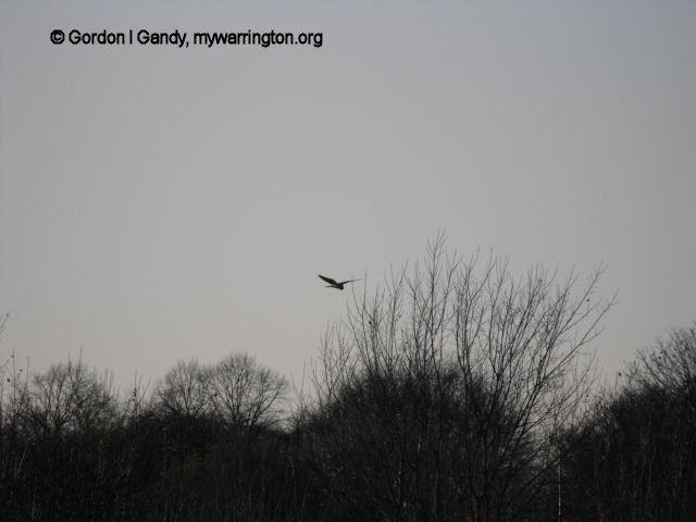
Birds include greenfinches, goldfinches, reed bunting, swifts, swallows, house martins, whitethroats, chiffchaffs, willow warbler, snipes, grasshopper warbler, sedge warbler, sparrowhawks, buzzard and kestrels. You might also see stoats, weasels, voles, mice and shrews.

The final word comes from the noticeboards on the site:
Take nothing but pictures, leave nothing but footprints
Directions
Type in ‘Lilford Avenue, Warrington’ in Google maps, and Bewsey Meadows is the site to the west (left) of the highlight. It shows up better in satellite view.
See Warrington Borough Council’s website for latest information on the green spaces around the town.
Check with Warrington’s Own Buses for up-to-date information on bus timetables.
