
(inc Gorse Covert, Heathfield, Locking Stumps and Oakwood)

Contents:
- (inc Gorse Covert, Heathfield, Locking Stumps and Oakwood)
- Birchwood introduction
- ROF Risley
- Birchwood Today
- Housing
- Birchwood Schools
- Around Birchwood Centre
- Birchwood Memorial Gardens
- Encounter Centre
- Birchwood Railway Station
- Birchwood Forest Park
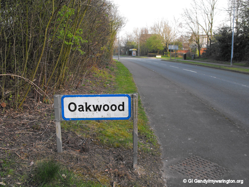
- Oakwood
- Gorse Covert
- Locking Stumps
- Birchwood Golf Course
- Heathfield
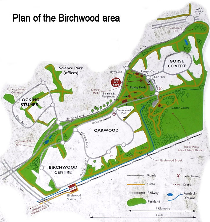
Map from information board
Birchwood introduction
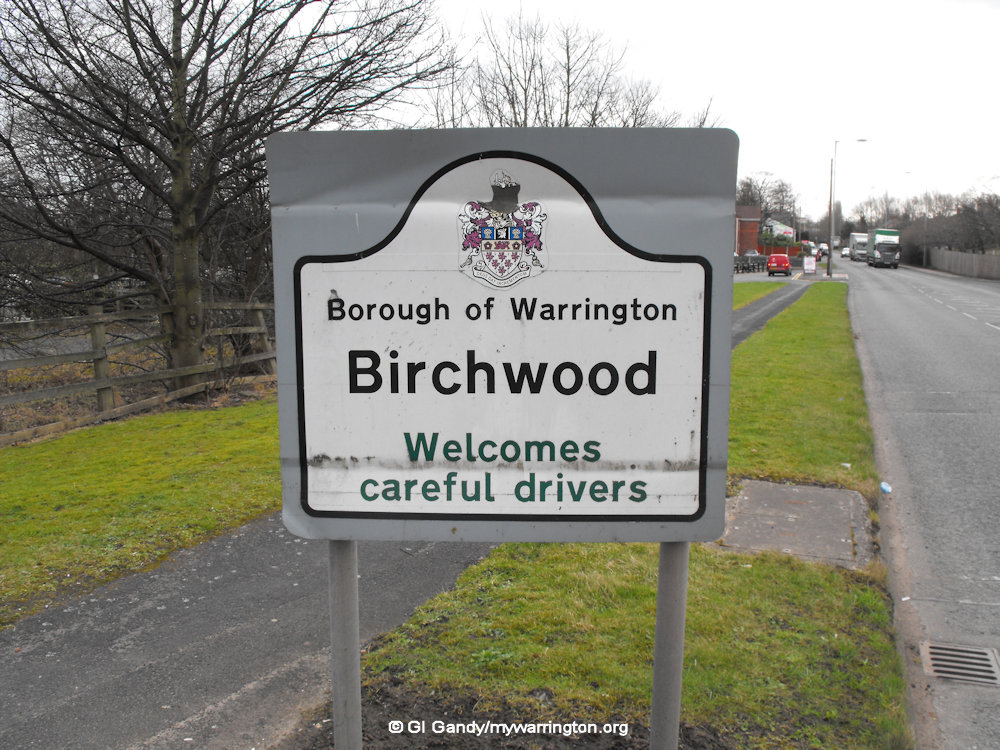
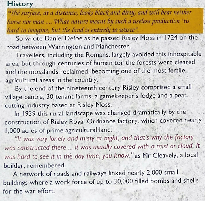
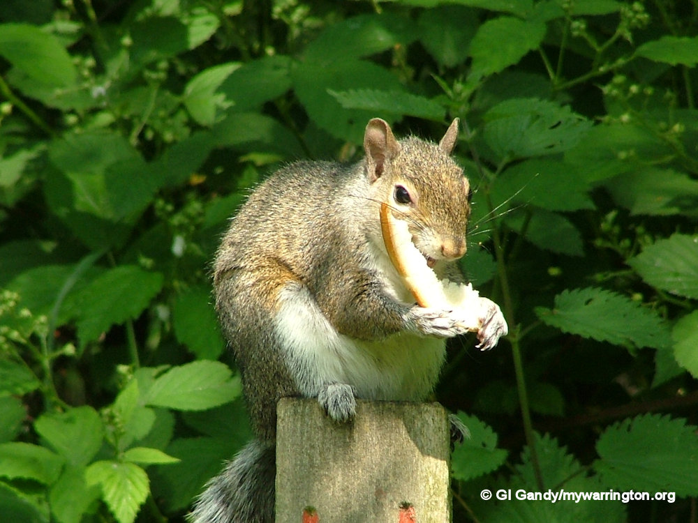
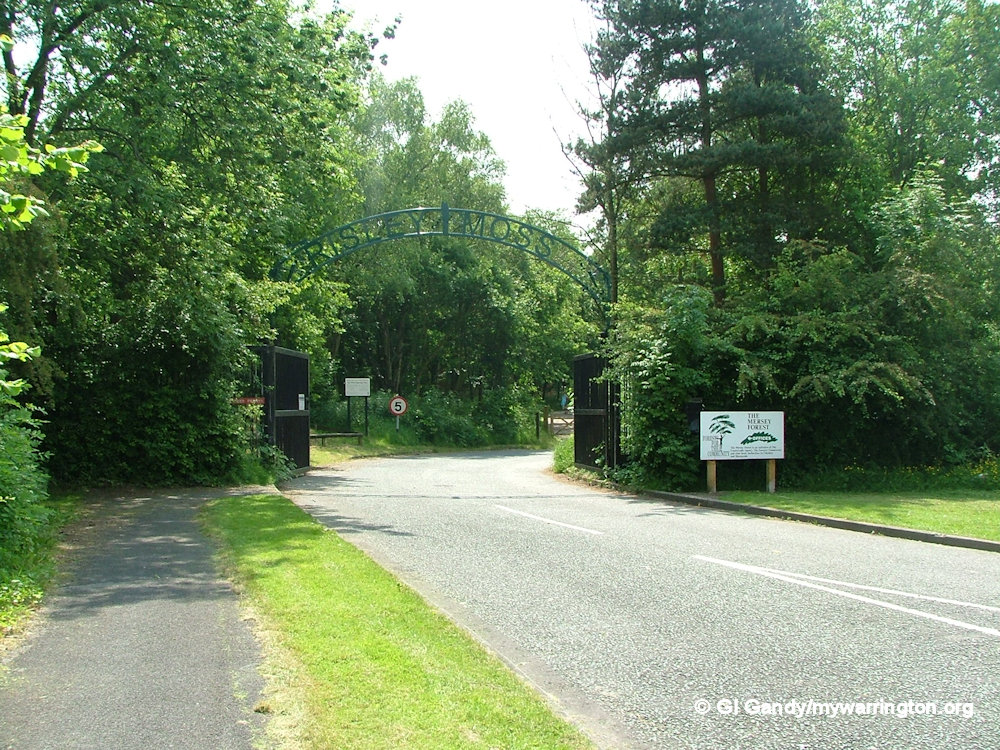
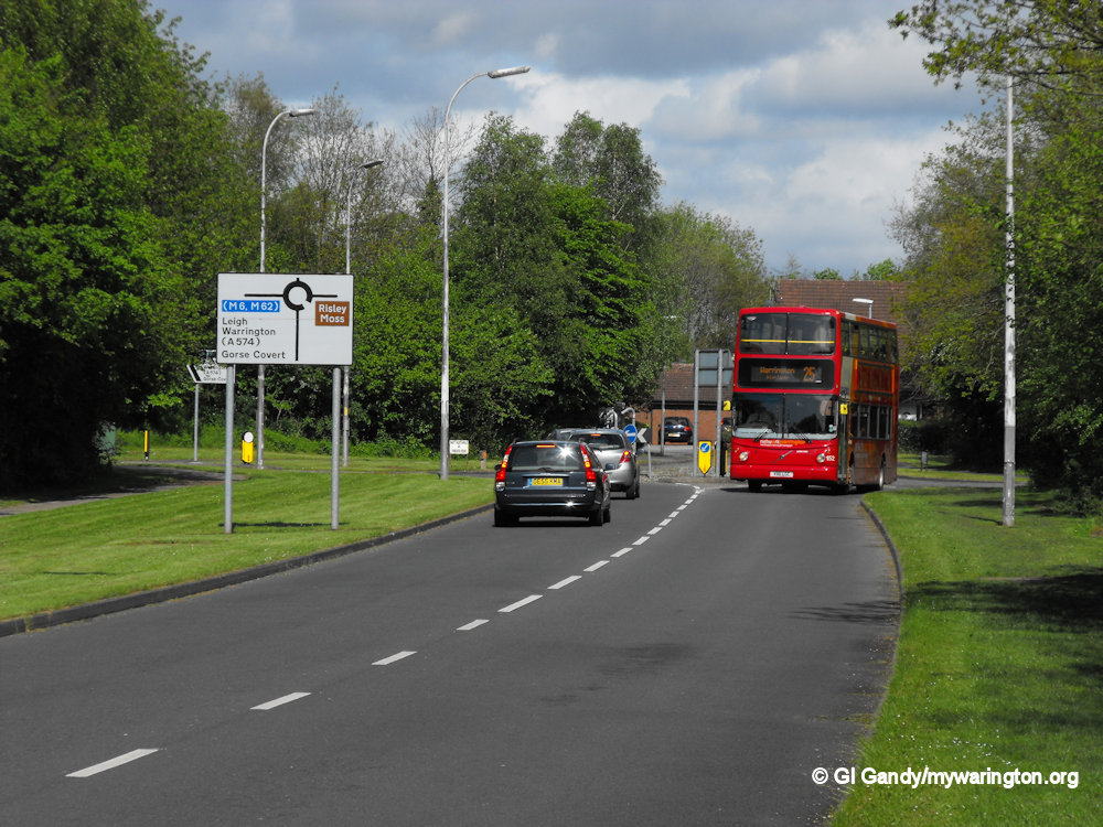
Birchwood is a parish in the north-eastern part of the town with a population of 10,614 (2021 census). In the past, travellers avoided the Risley (Birchwood) area because of its mossland but over time much of the fertile mossland was reclaimed and turned into farmland. The area east of Birchwood is mainly birch forest, hence the name of the district. Risley Moss is part of the Mersey Forest and a site of special scientific interest.
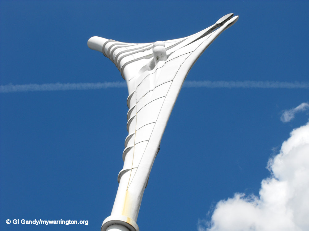
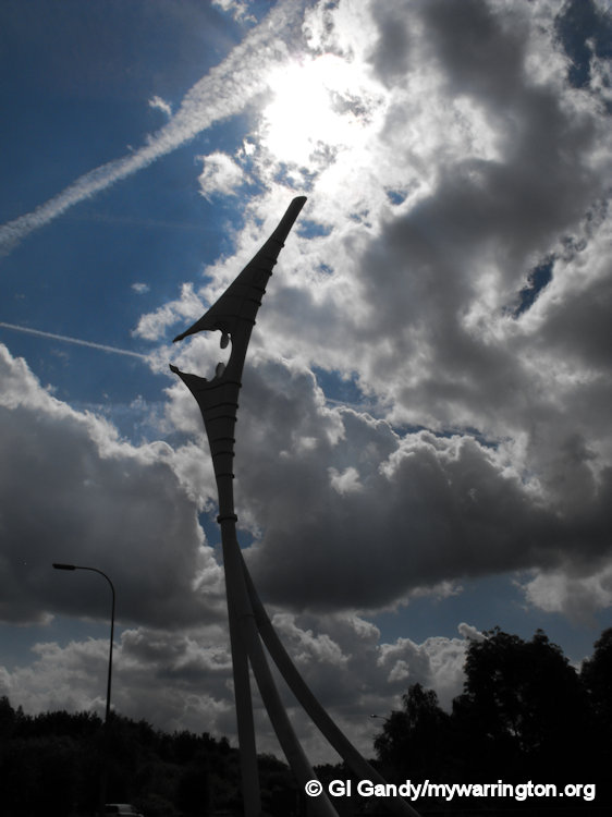
Encounter, A.K.A. the Angel of Birchwood. Designed by Liverpool artist Stephen Broadbent, it was erected close to junction 11 of the M62 on 13 October 2002.
Weighing in at 26 tonnes and approximately 100 ft (30 m) tall, it is 35 ft (10.67 m) taller than the Angel of the North in Gateshead.
Photos 8 Aug 2012.

ROF Risley

ROF Risley, also known as Filling Factory No. 6, was a Royal Ordnance Factory located in Risley, Warrington, during World War II. It played a crucial role in filling munitions, including the Grand Slam bomb, with explosives. The factory also had testing ranges and disposal areas for defective ammunition. After the war, the site was then used by the United Kingdom Atomic Energy Authority (UKAEA). When they had finished with it, Warrington New Town Development Corporation bought the site and turned it into the new district of Birchwood. Read a more detailed report in the Risley section of Downtown.
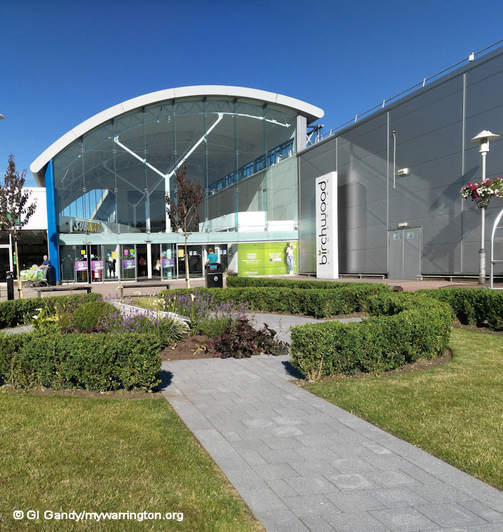
Birchwood Today
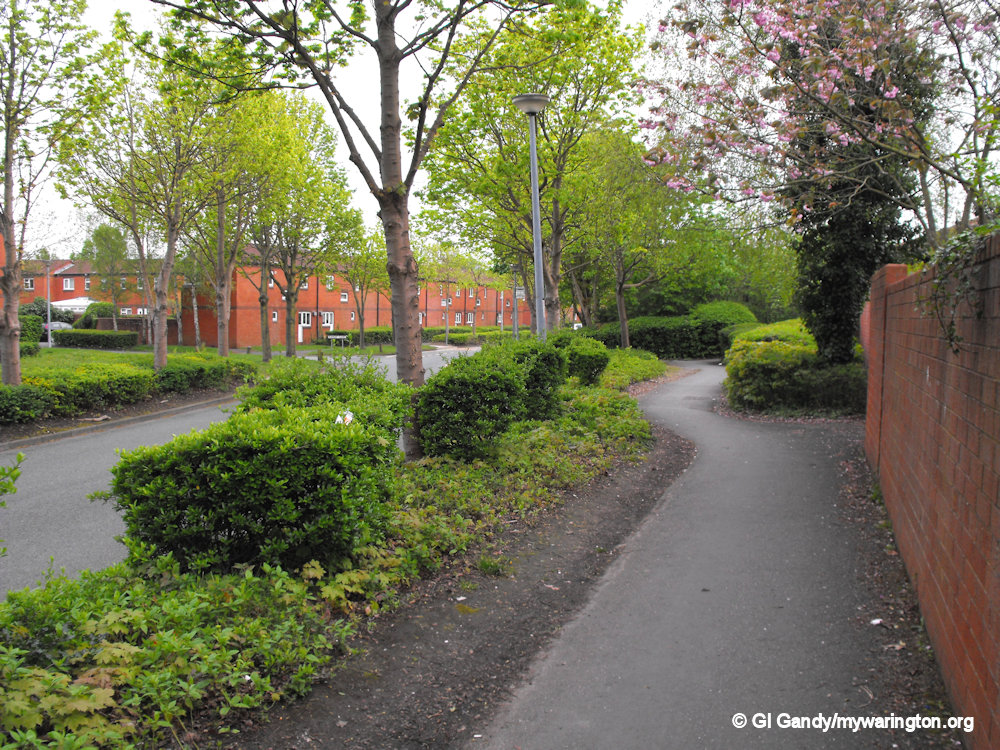
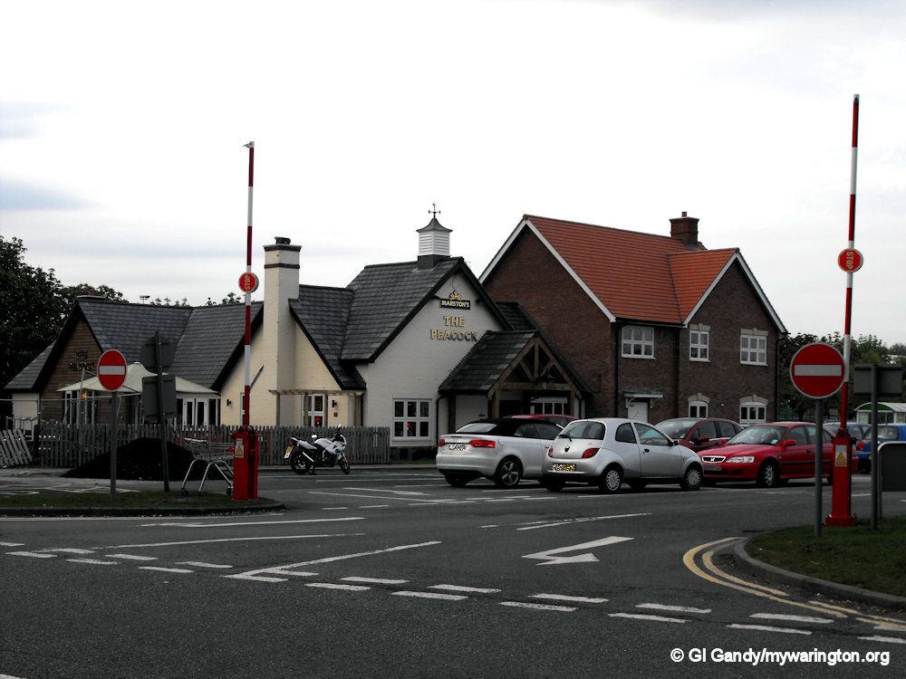
Birchwood is divided into four residential estates: Gorse Covert, Oakwood, Locking Stumps and Heathfield. Read more about these in their own sections later. Birchwood Shopping Mall is the main area for shopping along Dewhurst Road. The name of the road comes from Richard Dewhurst who purchased the Risley estate in 1853. The area of Risley now occupied by Birchwood was once part of Culcheth.
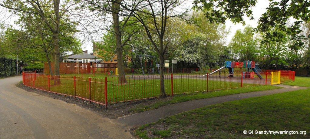
Three of the four areas of Birchwood have their own local store and pub.
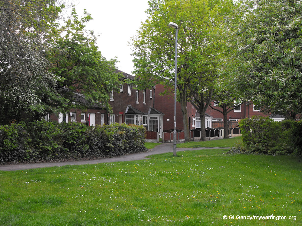
Housing
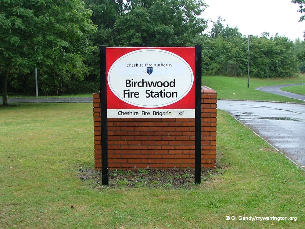
The housing needs of the area, not just in Warrington, but also Liverpool and Manchester, was one of the reasons why the New Town of Warrington was built. In 1965 a planning consultant was commissioned with the task of recommending proposals for a new town under the 1946 New Towns Act. Those proposals were issued in October 1969 by Warrington New Town Development Corporation. Birchwood was chosen because of its proximity to the motorway and rail network. The housing was to be a mix of private and rented accommodation with lots of green spaces close by and facilities such as employment sites, schools, shopping, recreation and a fire station. Birchwood was not the first New Town area of Warrington though. That honour goes to Longbarn, which we will see later in the Downtown series.

Birchwood Schools
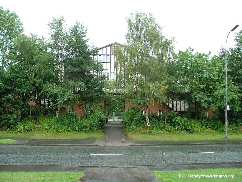
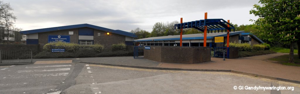
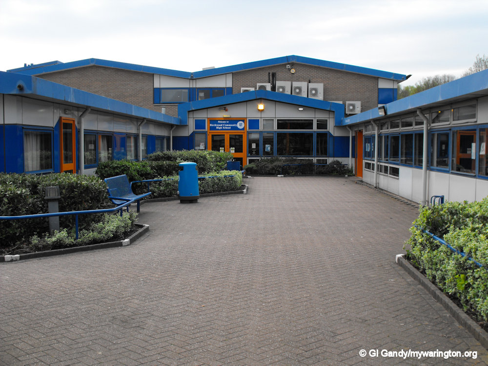
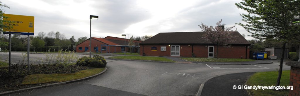
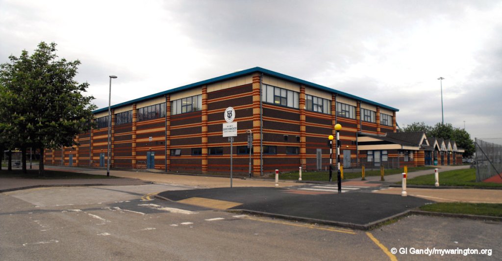
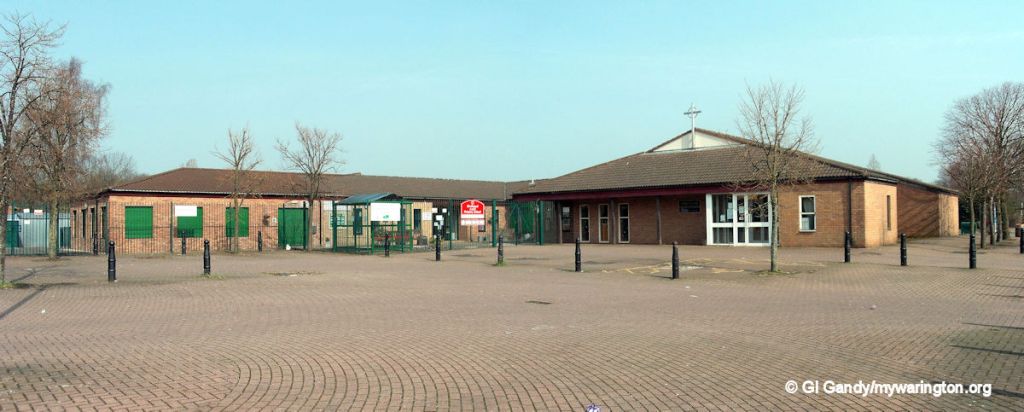
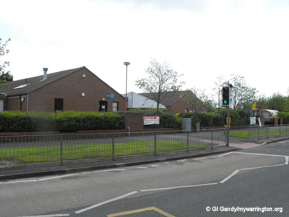
The district of Birchwood is served by three primary schools, Birchwood C of E Primary, Gorse Covert Primary and Locking Stumps Community Primary. Birchwood Community High School is located close to Birchwood Centre, with Birchwood Library next to it. Birchwood College was opened on 6 September 2010 and is located next to Birchwood High School. Fox Wood School was a school for special needs and originally occupied land on Chatfield Drive in Oakwood until it was relocated to Woolston. Heathfield does not have a school but does have a day nursery.
Across the road from the library is Birchwood Leisure and Tennis Complex which was visited by Cliff Richard in the early years of its existence.
Around Birchwood Centre
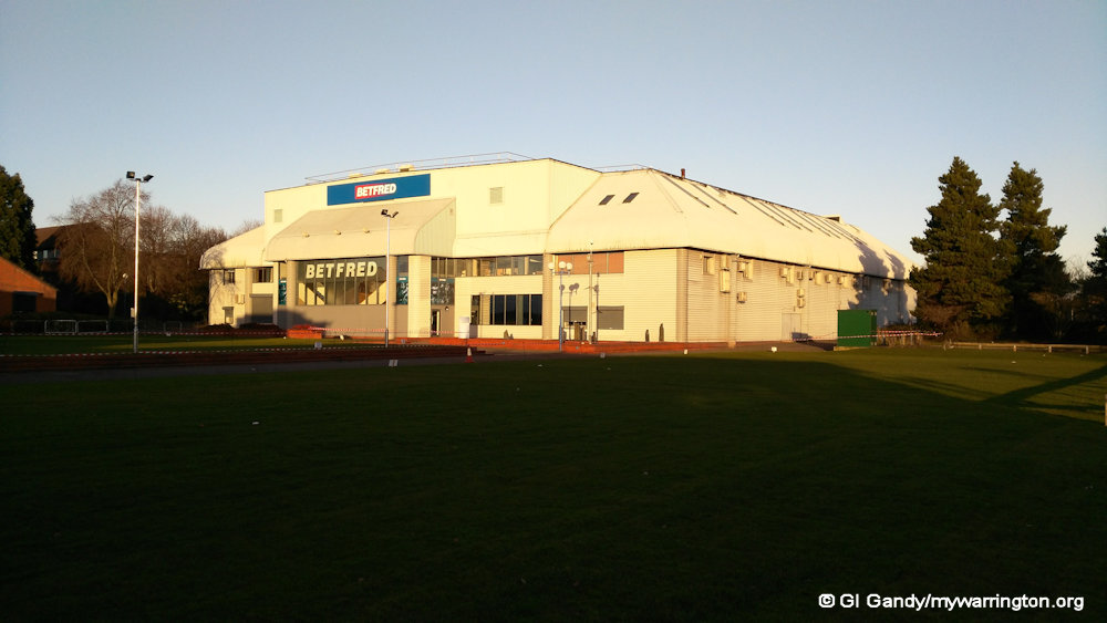
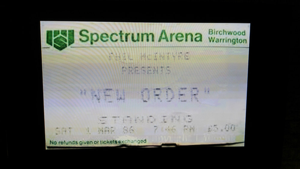
Next to the shopping mall is the former Spectrum Arena, an entertainment venue which has, in the past, hosted TV events including basketball on Channel 4 and snooker on ITV, both in the 1980s. The site is now the head office for Bet Fred, the bookmaker.
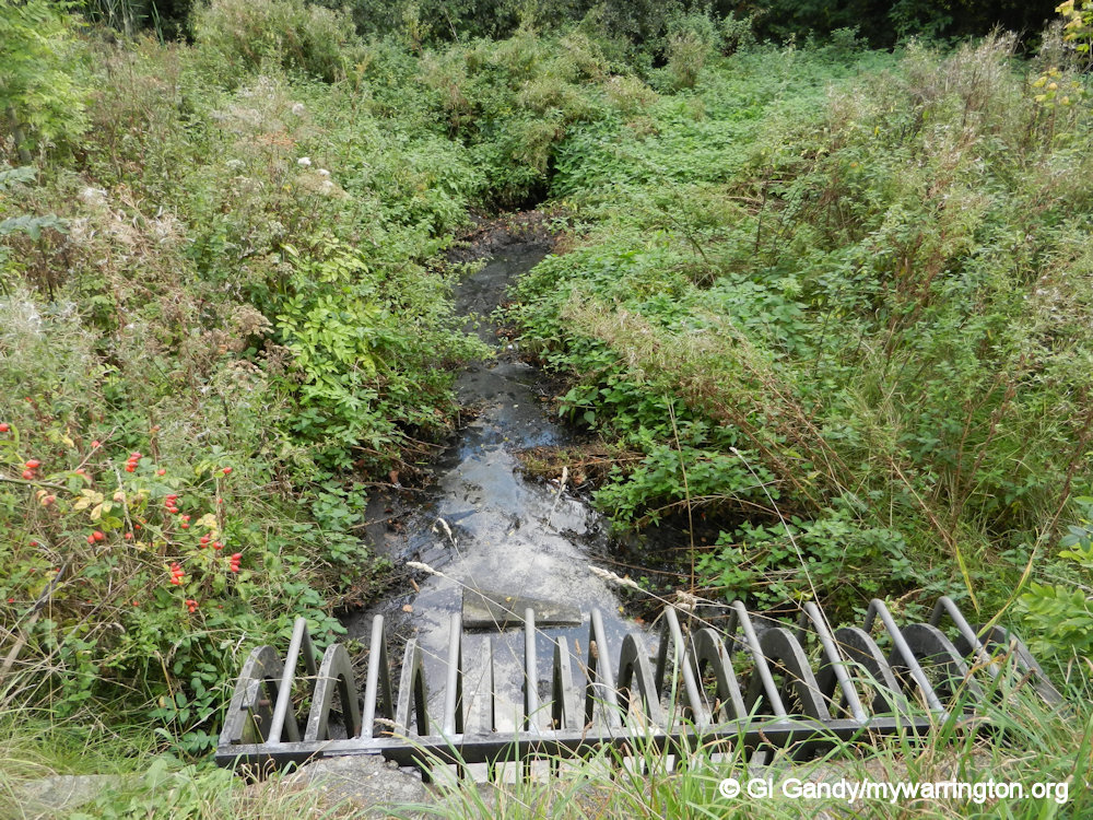
Close by is Birchwood Brook, one of many green spaces around the Birchwood area. My photos were taken on 22 Sep 2013.
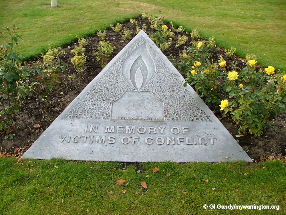
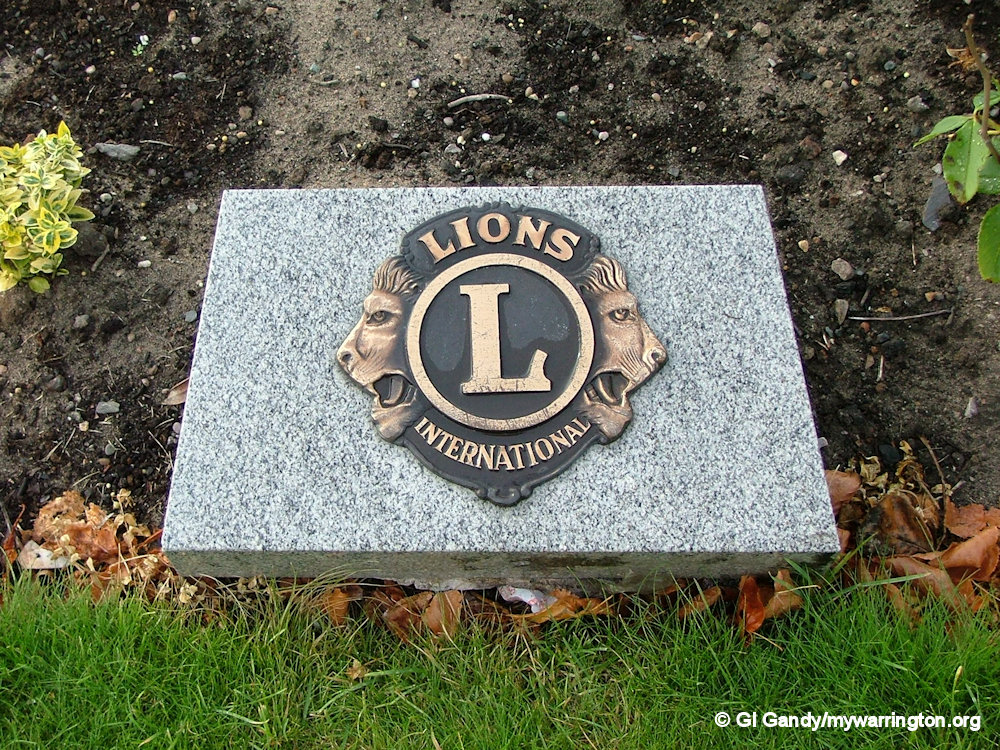
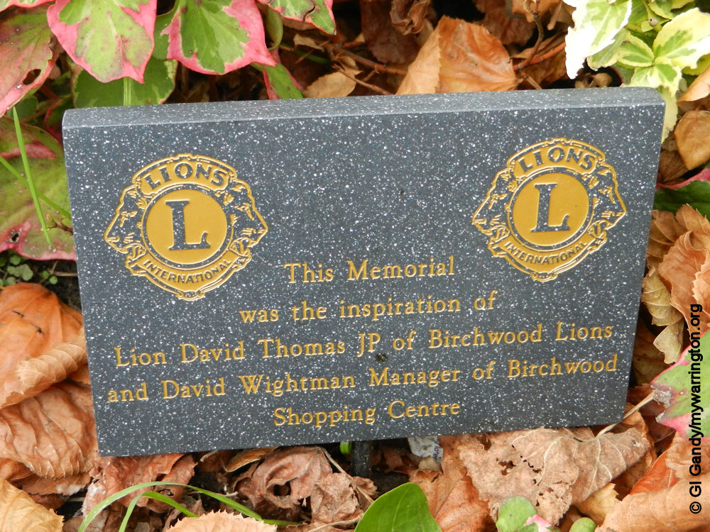
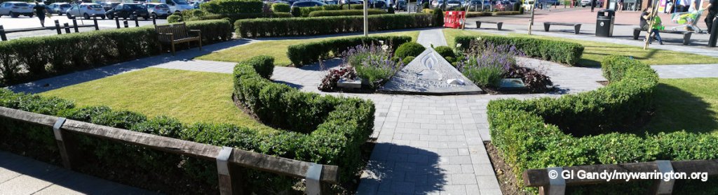
Birchwood Memorial Gardens
VICTIMS of conflicts around the world are remembered in Birchwood Memorial Garden outside Birchwood Shopping Centre. The original memorial, designed by Birchwood artists Peter Oakley and Greg Fuller, was unveiled in 2002. Since then a memorial garden has been created around it with seating for those wishing to rest their legs and pay their respects.
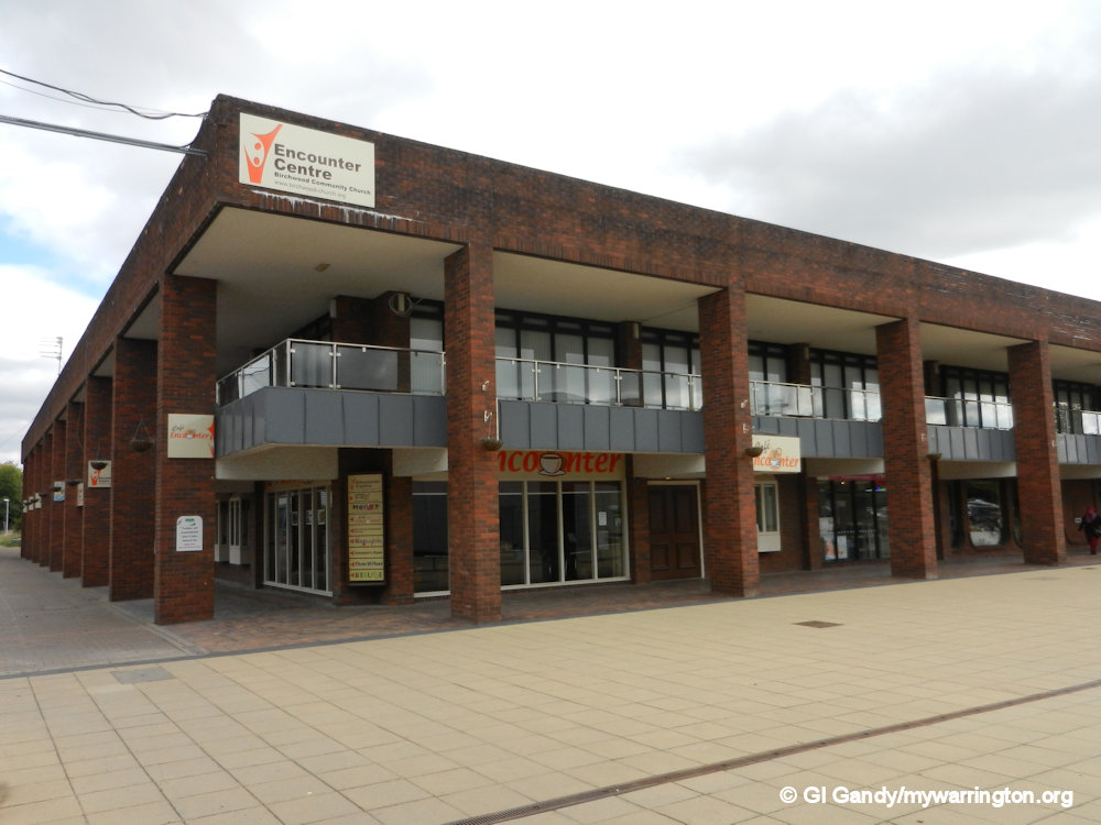
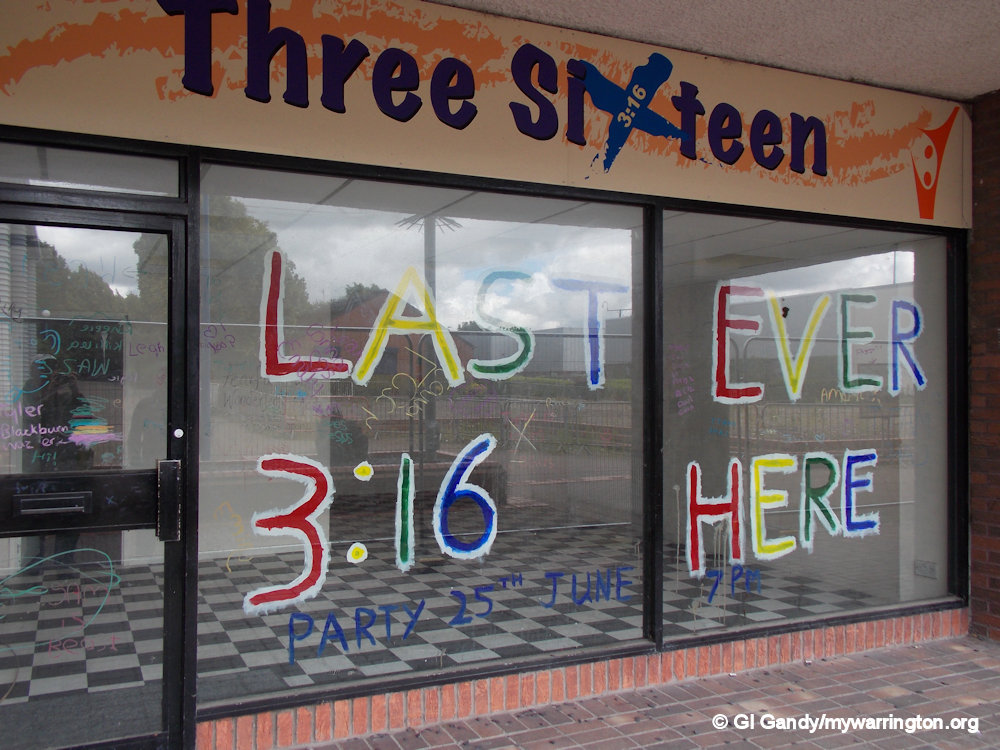
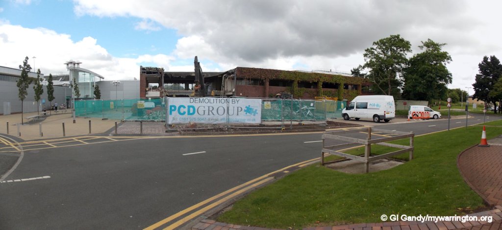
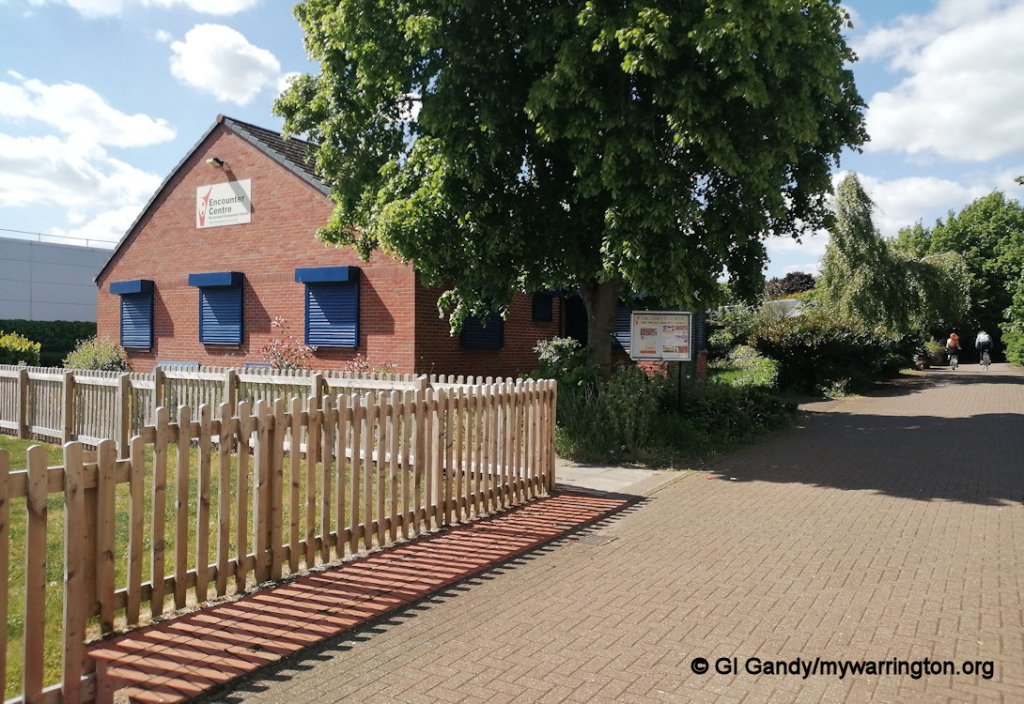
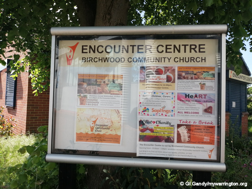
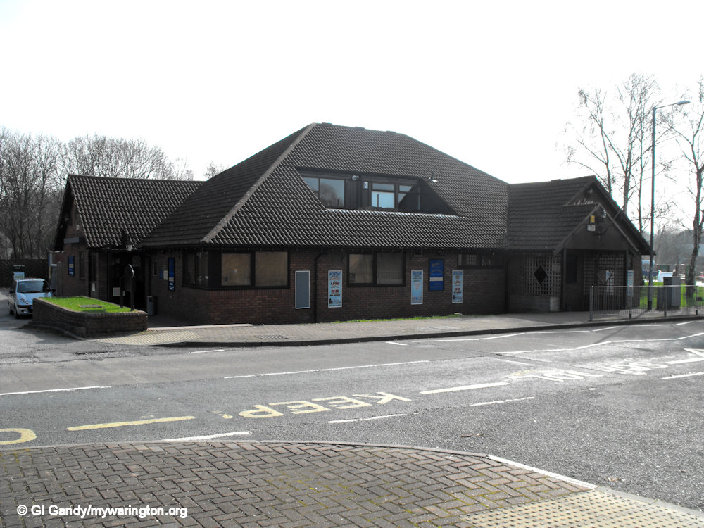
Encounter Centre
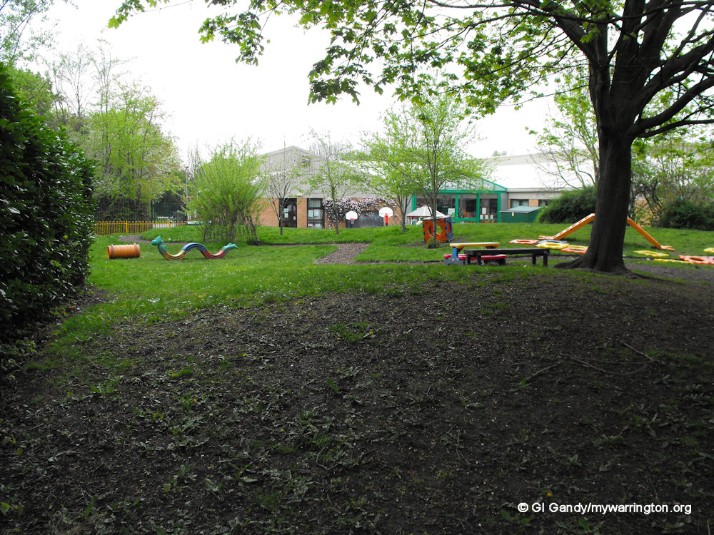
The Encounter Centre was occupied by Birchwood Community Church of the same name. It was later demolished and a children’s play area was built on the site. The church services now take place in the Performing Arts Centre at Birchwood Community High School. A new community centre, again called the Encounter Centre, occupies land close to the site of the original Encounter Centre building.
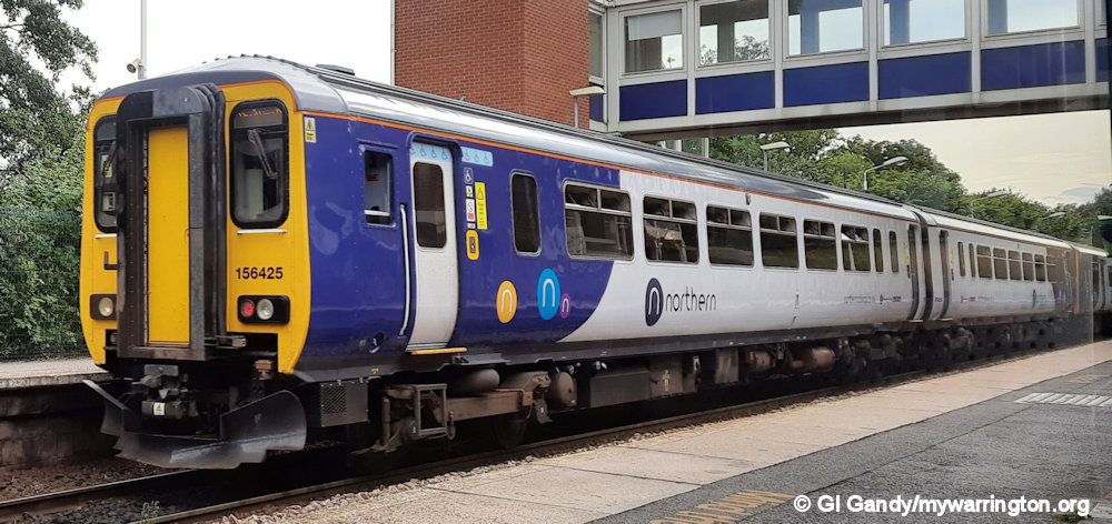
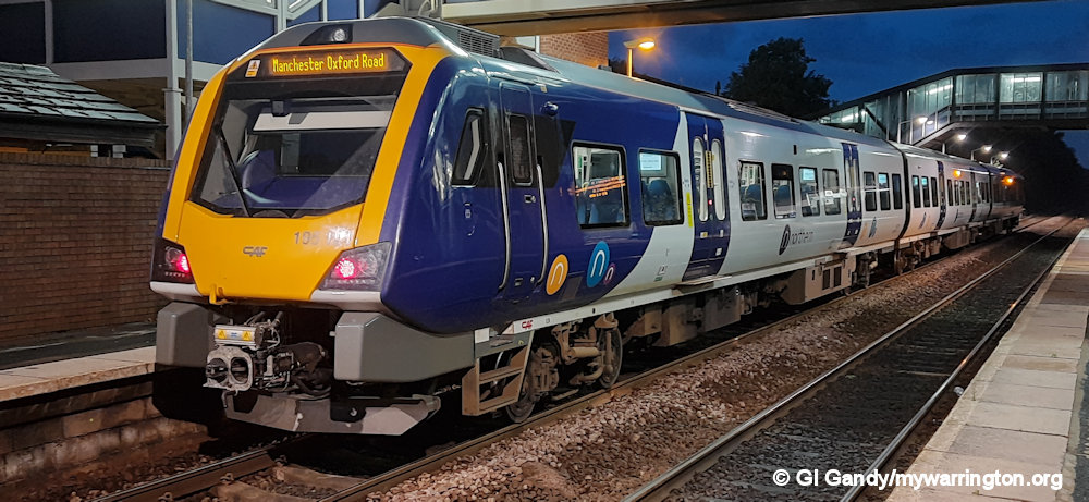
Birchwood Railway Station
The district is served by Birchwood station on the former Cheshire Lines Railway. The station was officially opened on 31 July 1981 by Sir Peter Parker, Chairman of the British Railways Board, and stands close to Birchwood Shopping Centre.

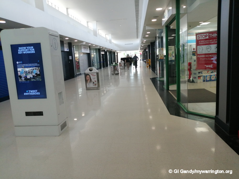
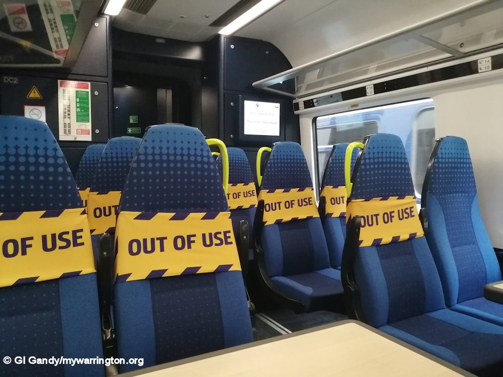
Sign of the times.
During the first UK lockdown in the Covid-19 crisis of 2020, I was allowed to go to work in Birchwood by train for a short period of time as a named keyworker. However, that didn’t last long as my company bosses were concerned that train commuters could potentially bring the virus into the workplace, so I was asked to stay at home on full pay.

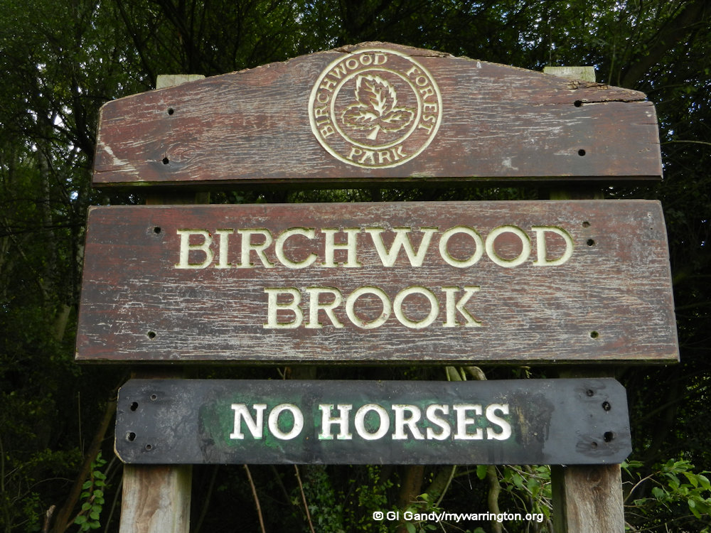
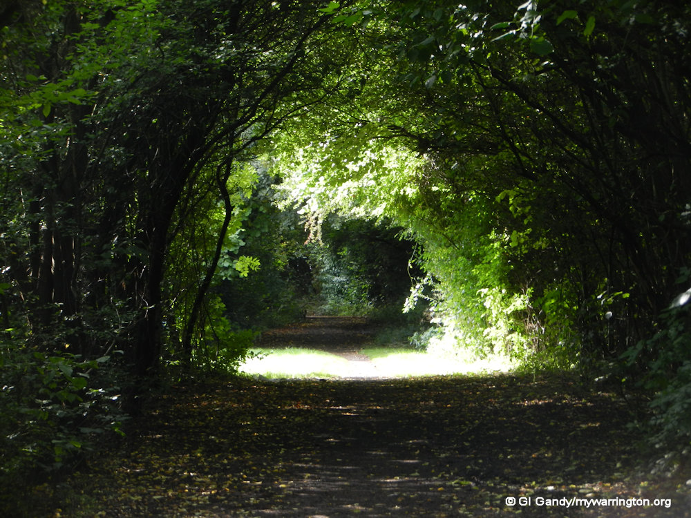
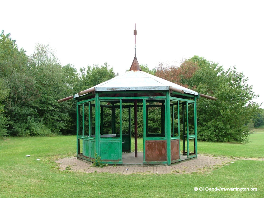
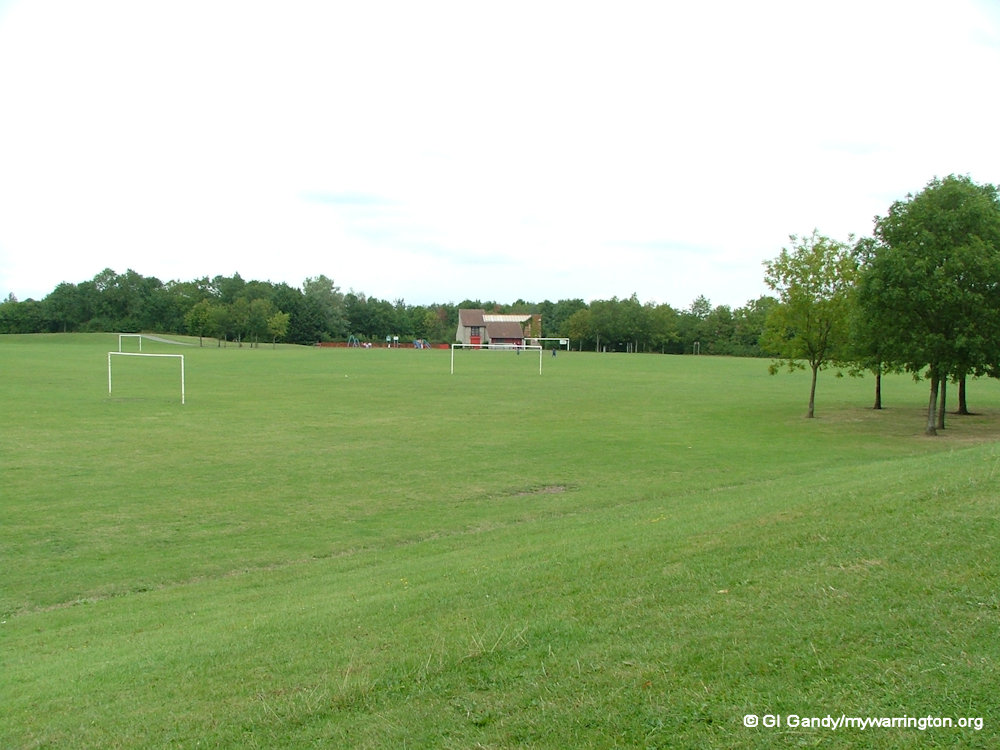
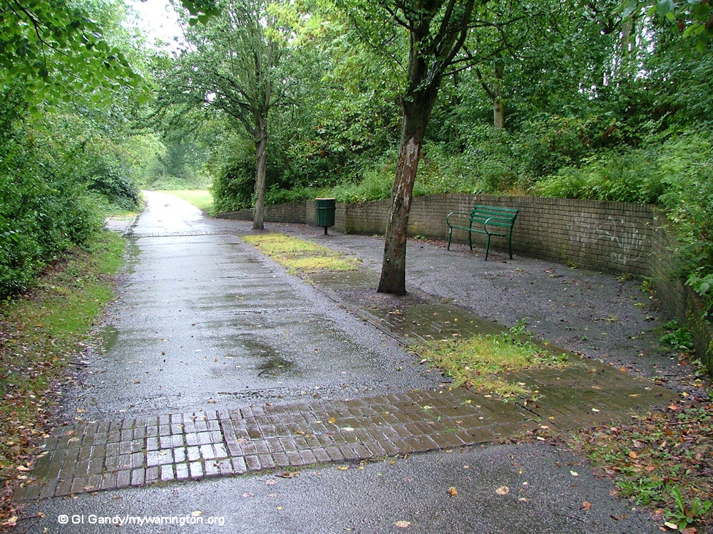
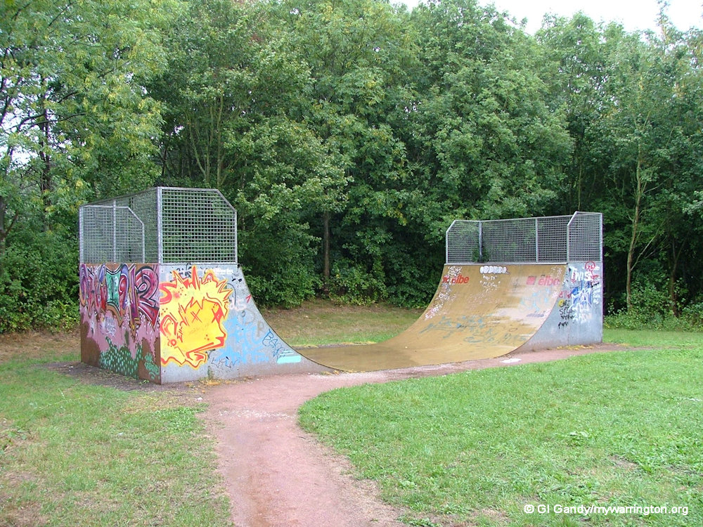
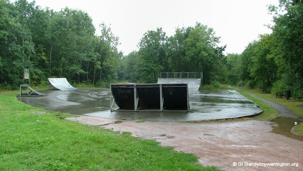
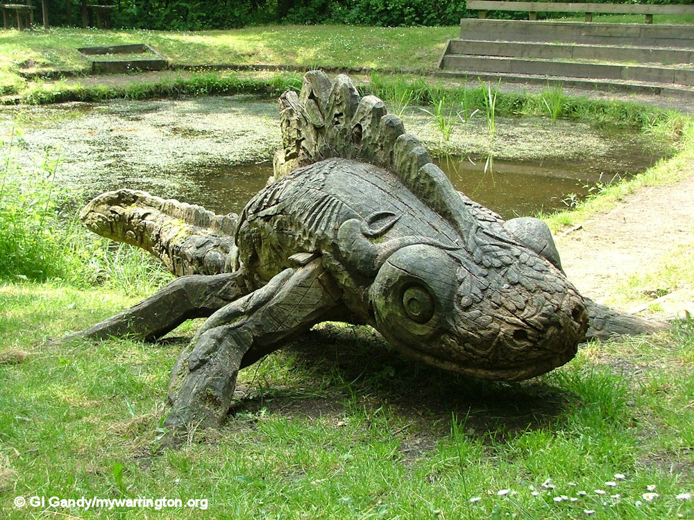
Birchwood Forest Park
Birchwood Forest Park is a large open space for recreation and events, including the annual Birchwood Carnival. Within the grounds bunkers from ROF Risley can still be seen. They are locked up today and the grass of the park lies on top of them, although the entrances can still be seen from the pathways. Here is more information about the area from the onsite noticeboard.


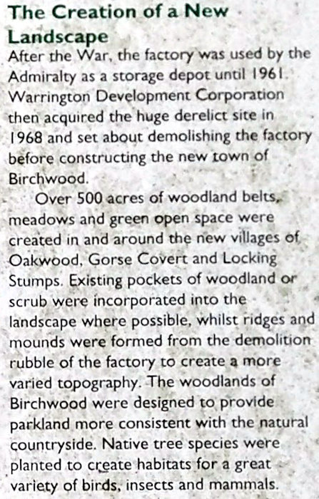
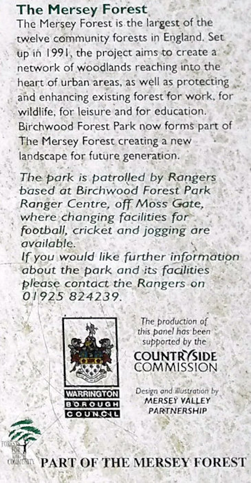

Read more about Birchwood Forest Park in Warrington Green.
Risley Moss Nature Reserve was officially opened by David Bellamy on 23 September 1980. Read more in Warrington Green.
Oakwood
Oakwood is the district of Birchwood nearest to Birchwood Shopping Centre and Birchwood railway station.
Like the other areas, it includes a local centre, featuring Nelson’s Quarterdeck pub, a school (Birchwood C of E Primary School) and, a church (Church of the Transfiguration C of E) next to the school and shop.

Gorse Covert
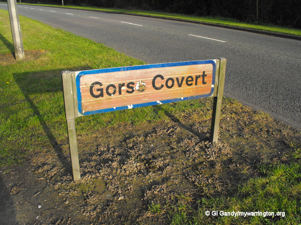
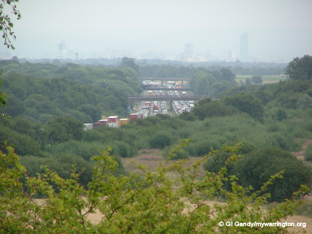
Gorse Covert is the furthest east of the districts of Birchwood and is named after a wooded area of the same name alongside Risley Moss, as shown on an 1892 OS map.
It is located on the former site of filling factory No. 6 of the Royal Ordnance Factory at Risley and is now a residential area.
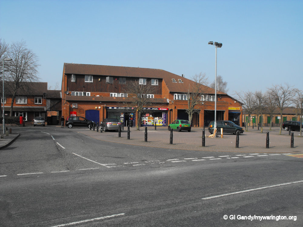
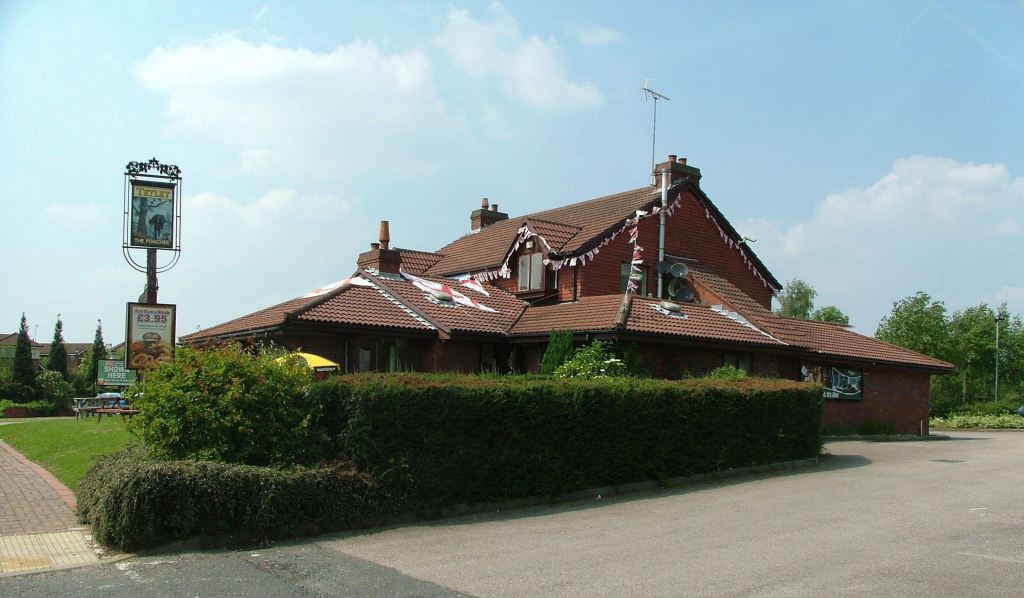
Gorse Covert Primary School, The Poacher pub and a local shop feature in the centre of the district.
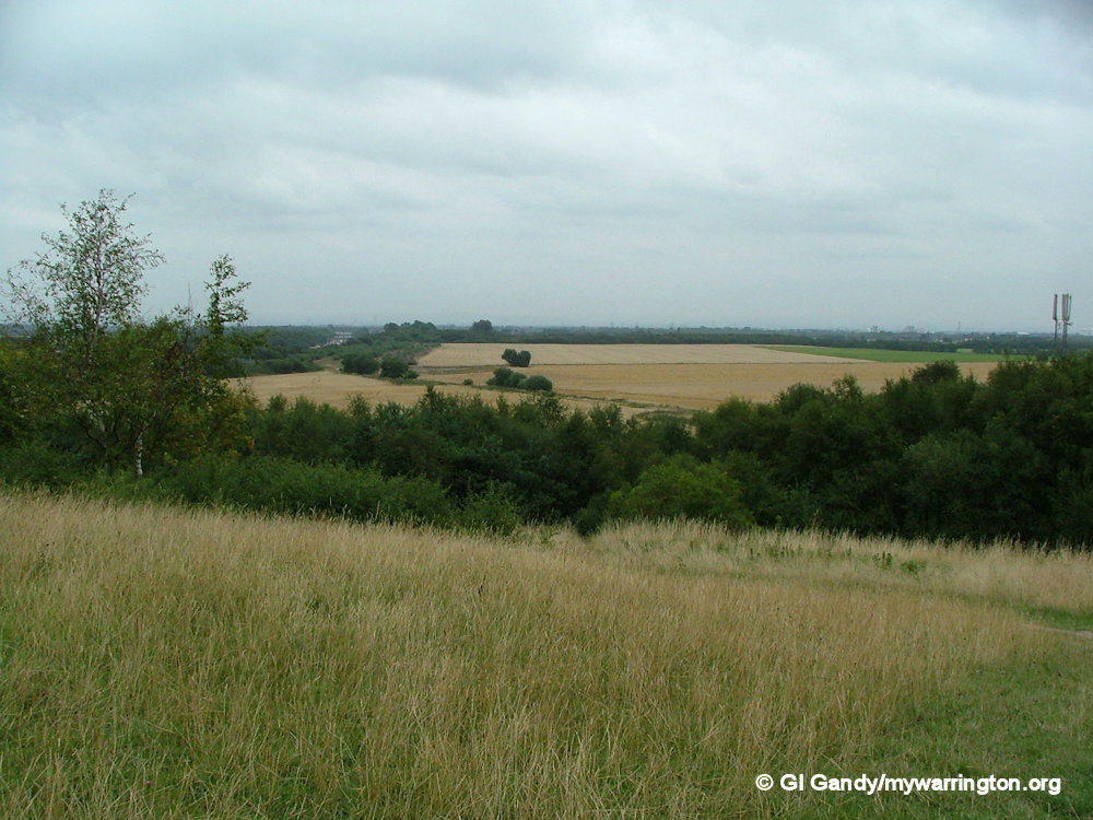
Pestfurlong Hill – part of the parkland near Gorse Covert – was created out of the demolition rubble from the Royal Ordnance Factory at Risley. It forms part of Birchwood Forest Park.
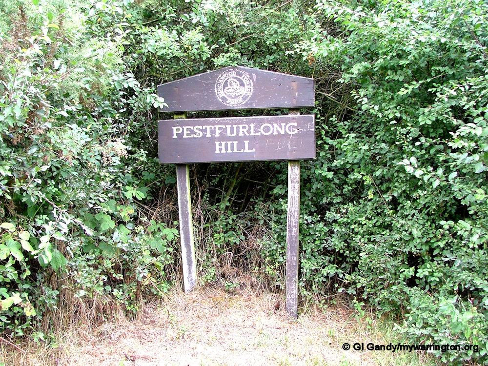
Pestfurlong is an unusual name, but it goes back many centuries. Most of modern day Birchwood was once part of the township of Culcheth. At one point the township was divided by the landowner into 4 sub-districts, Risley in the south, Culcheth in the north, and the middle section was divided east (Holcroft) and west (Pestfurlong). Over the centuries the spelling has varied and includes Peasfurlong and Pesfurlong. Read more here. If you know the origin of the names I would love to know.
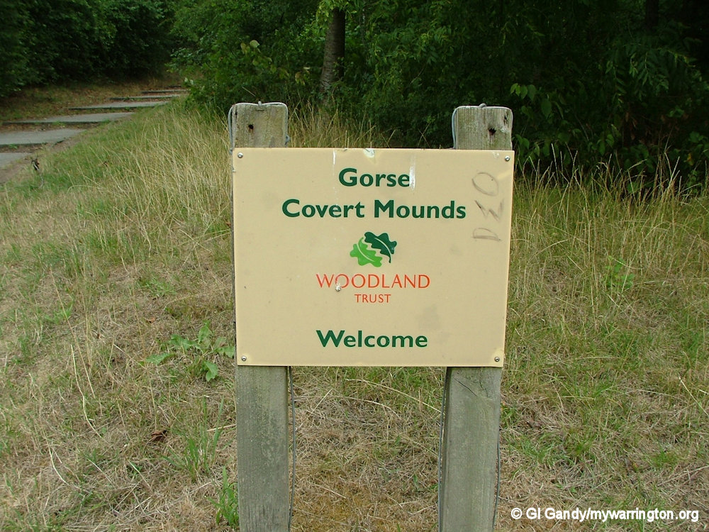
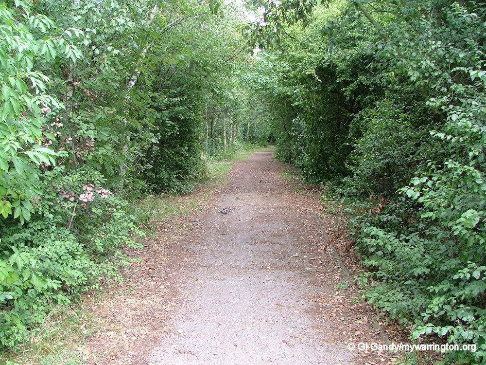
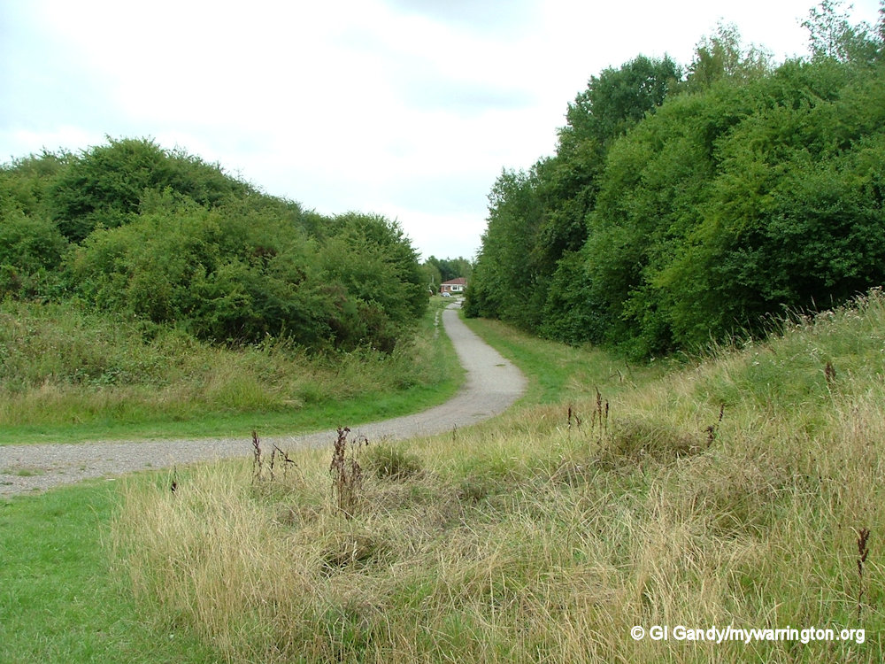
Gorse Covert Mounds occupies part of the green area and is managed by the Woodland Trust.
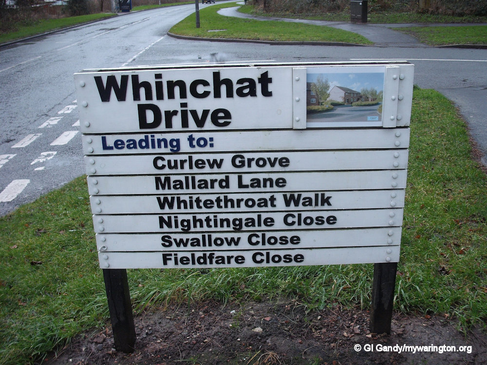
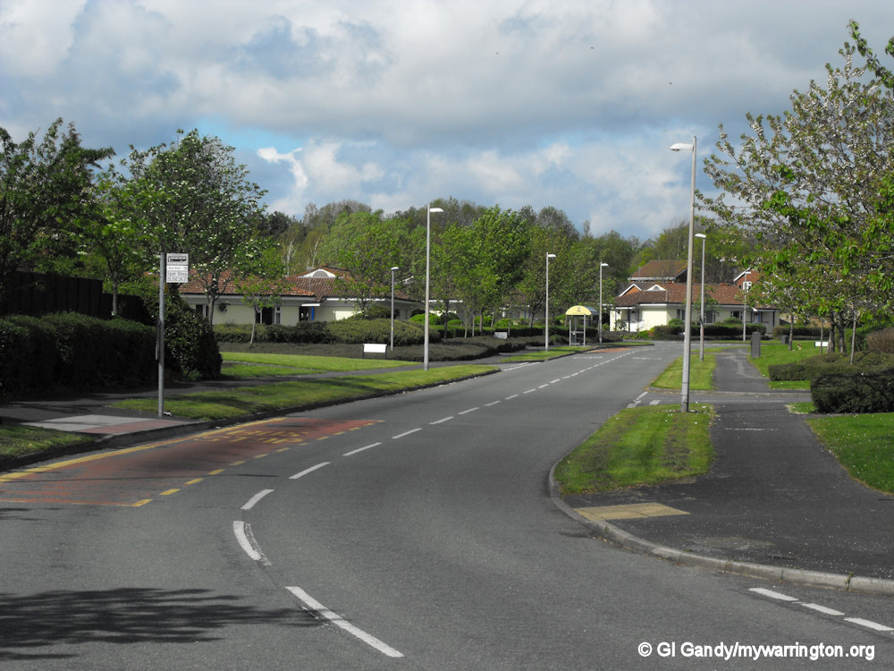
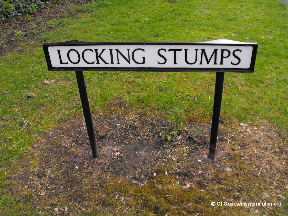
Locking Stumps
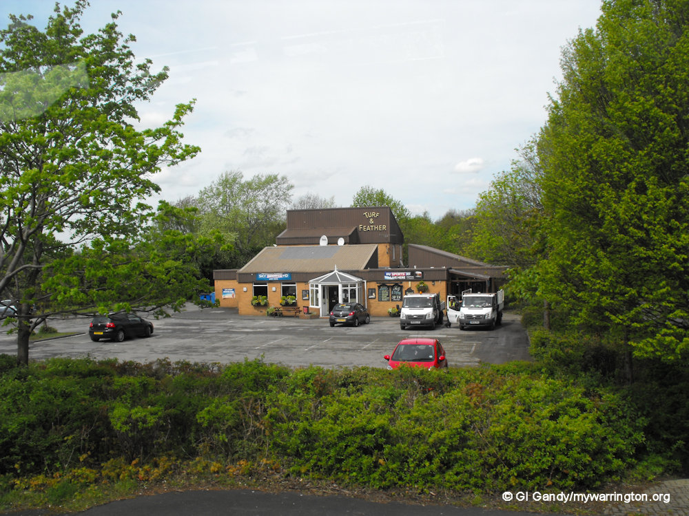
Locking Stumps, is the furthest west of the districts of Birchwood. It has a shop, public house (The Turf and Feather), takeaway shop, primary school (Locking Stumps Community Primary School), and the Thomas Risley Church, all built on the site of the former Royal Ordnance Factory, ROF Risley.
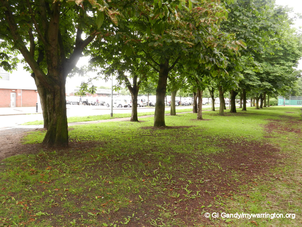
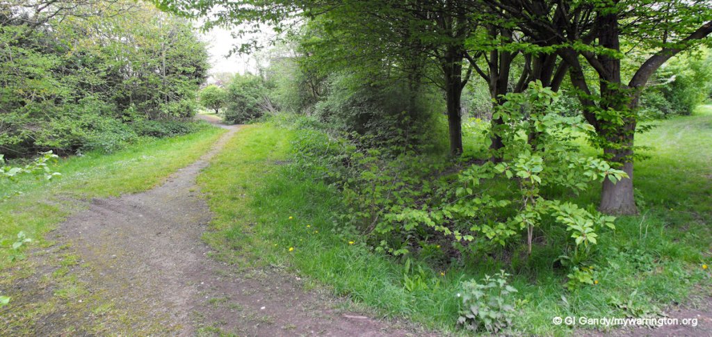
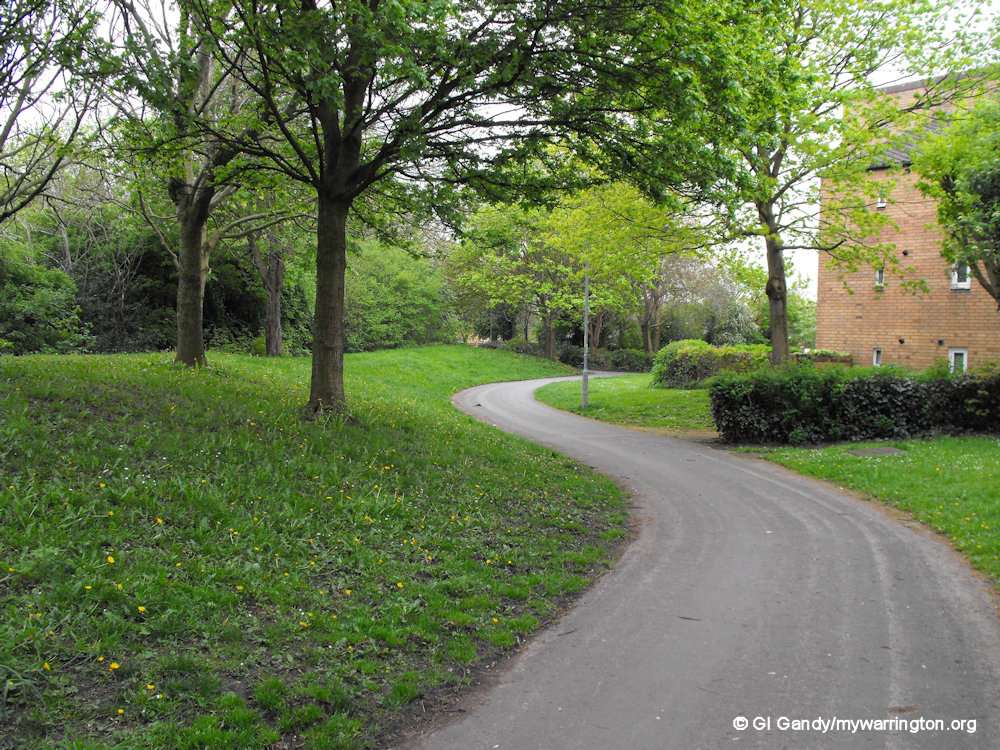
As with other areas of Birchwood, you are never far from a green space, whether that is a playing field or park, all within walking distance of your own front door.
Thomas Risley Church
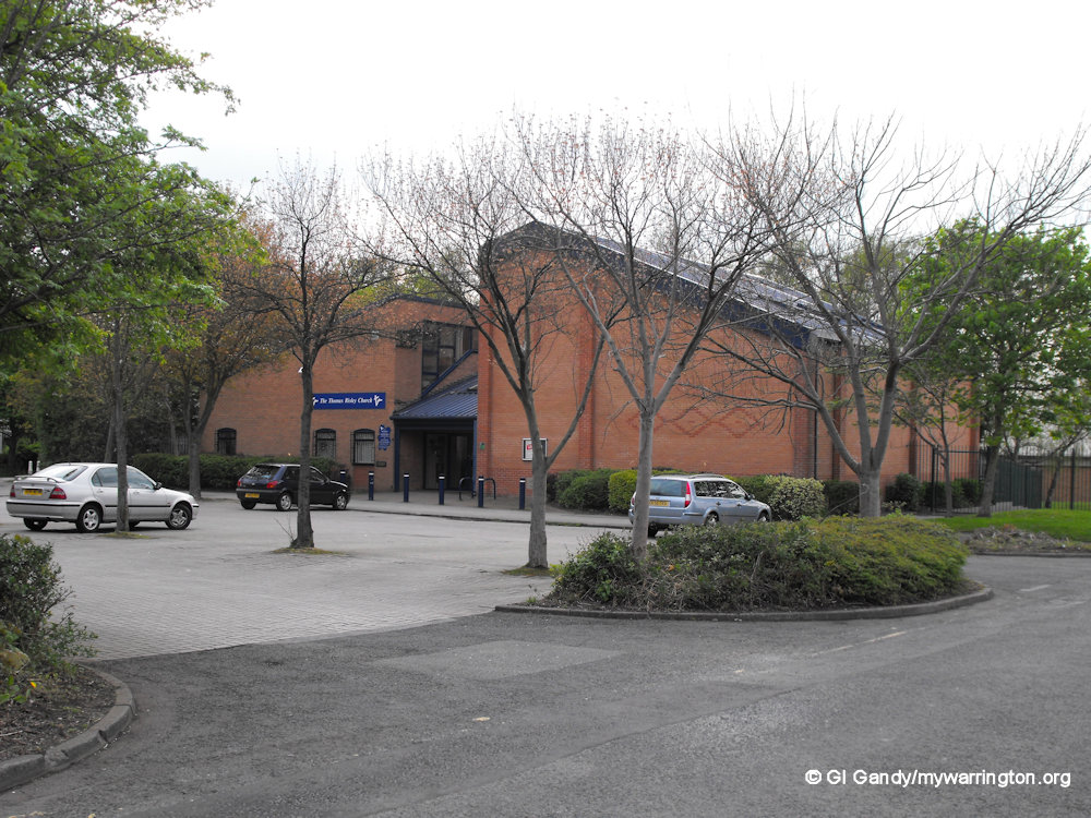
Thomas Risley Church came about after the Reformation in 1662 when every clergyman in the country was expected to conform to the Book of Common Prayer of the Church of England. Thomas Risley didn’t want to do that and set up his own church. This met in secret in the early days, but eventually in 1706 a chapel for Risley Presbyterian Church was built on Cross Lane, Risley. The Cross Lane church building was demolished when the M62 motorway was built and the church congregation moved to Locking Stumps into what is now the Thomas Risley Church on Glover Road. The church was enlarged in 2001 because of the growth of its congregation. Read some history of the church at their website. Read Thomas Risley’s profile in Warrington People.
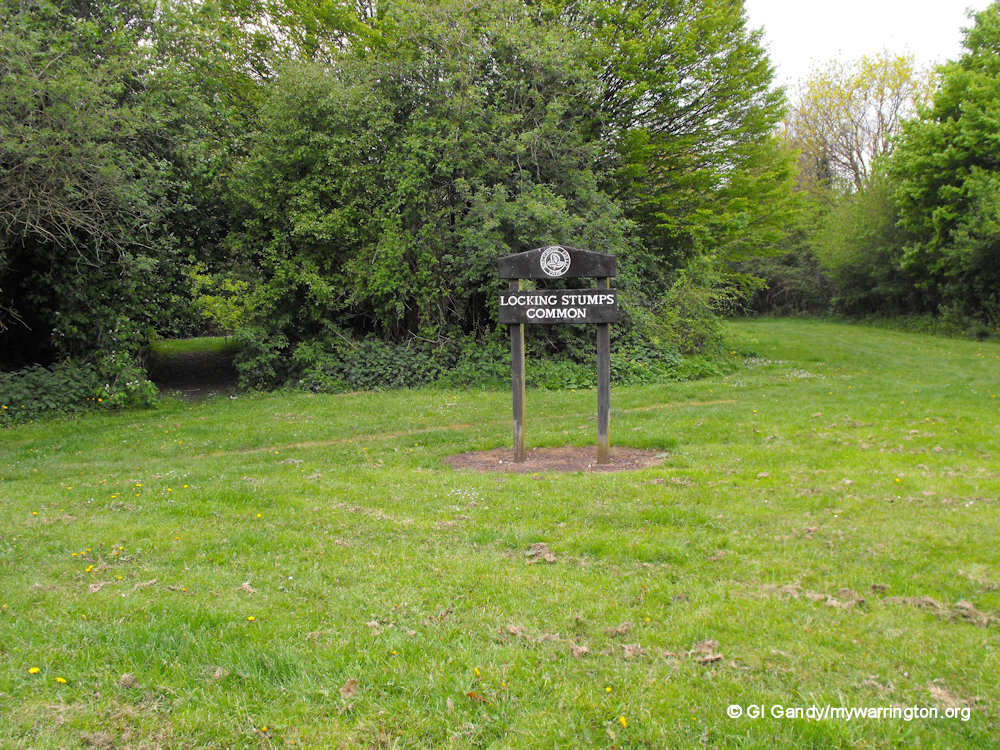
Locking Stumps Common
Locking Stumps Common is a green area between Glover Road and Birchwood Golf Course. It is part of Birchwood Forest Park.

Ciaran Geddes
I would like to pay my tribute to seven-year-old Ciaran Geddes from Locking Stumps Primary School who died of a suspected heart attack while playing on an all-weather pitch on Glover Road on 17 April 2011. The talented player had recently been spotted by football scouts and was found by his granddad who went looking for him to call him in for tea. One local resident described him as an ‘outstanding, lovely lad’. Ciaran was a Chelsea fan and shocked locals started a fundraising campaign to buy a defibrillator, and I was pleased to make a small financial donation in the local Nisa shop to help the appeal. Ciaran Geddes RIP.


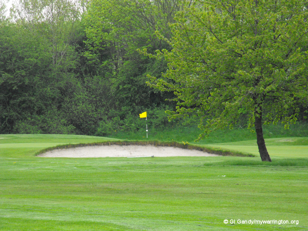
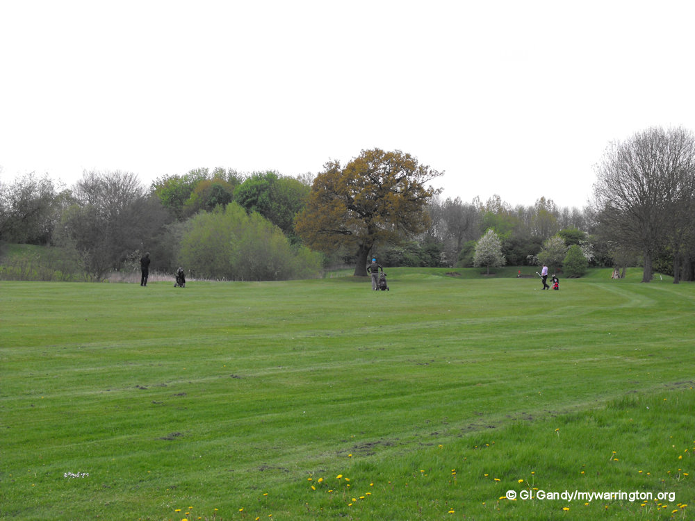
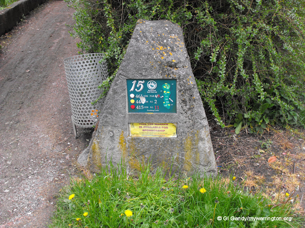
Birchwood Golf Course
Birchwood Golf Course stands to the north and west of the village by the M6 and M62 motorways. My photos were taken on 2 May 2012.
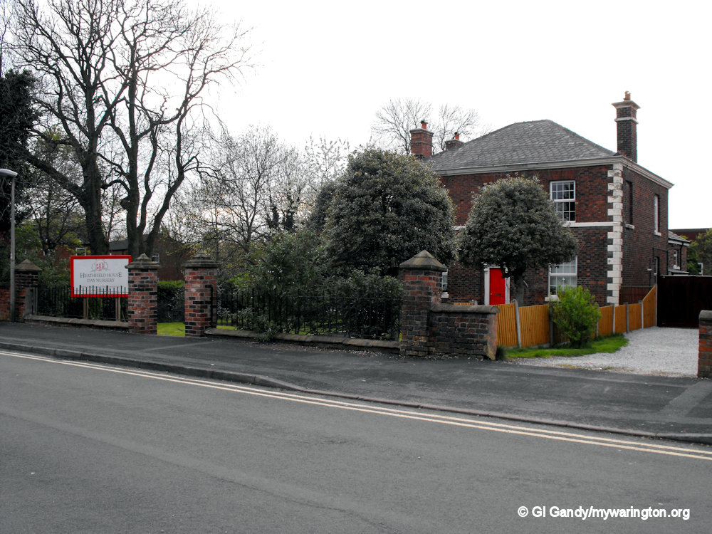
Heathfield
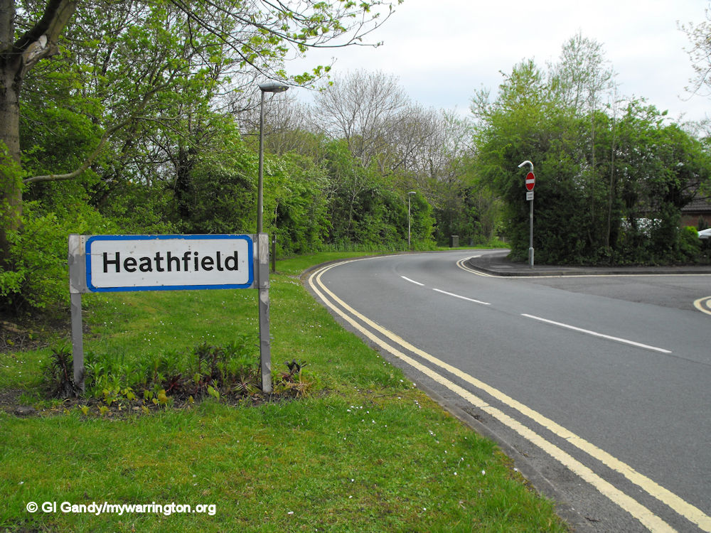
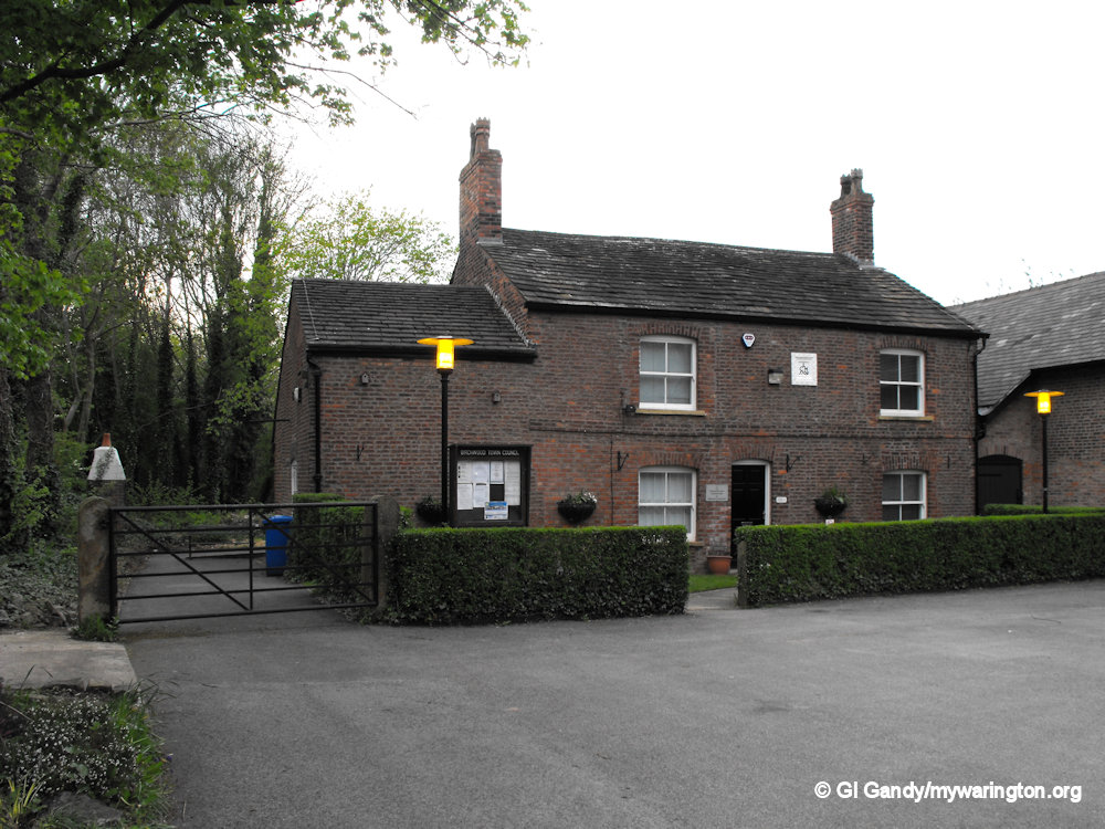
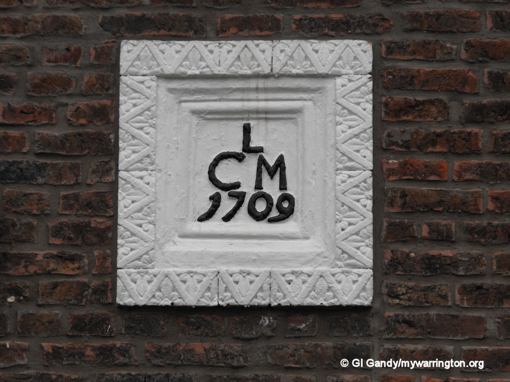
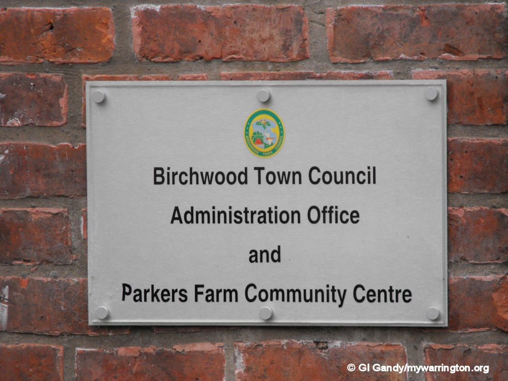
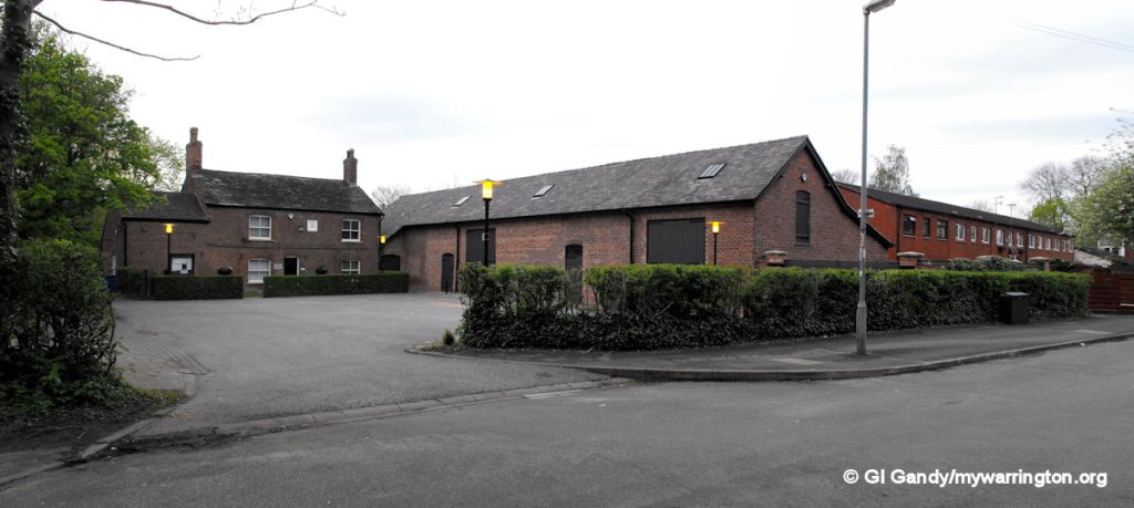
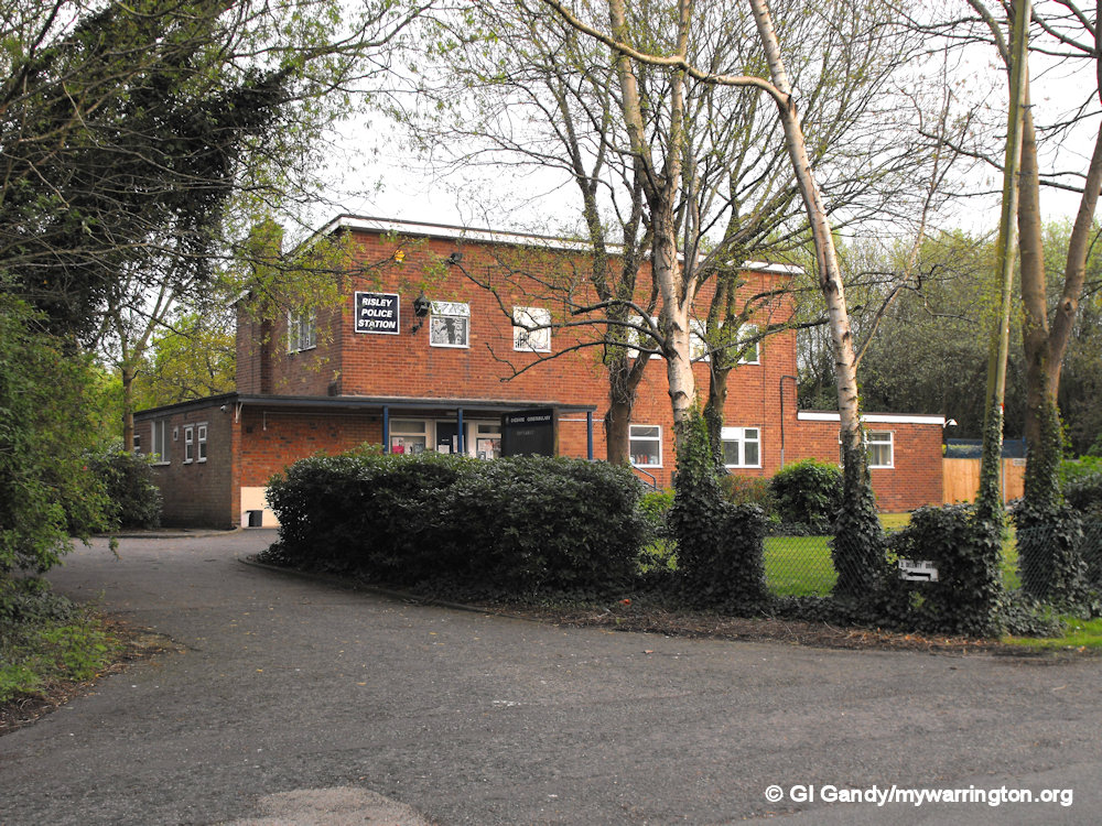
Heathfield is named after Heathfield House. The house is now occupied by Heathfield House Day Nursery. Other buildings located in Heathfield are Risley police station and Birchwood Town Council offices. The town council offices occupy Parker’s Farm building with a community centre in the barn alongside. Parker’s Farm was built in 1709 and is mentioned on the 1888-1913 OS map. Wash End Farm is the only other building in the Heathfield area named on that map.
Read about Birchwood Technology Park in the Risley section of Downtown.
