Contents:
Introduction
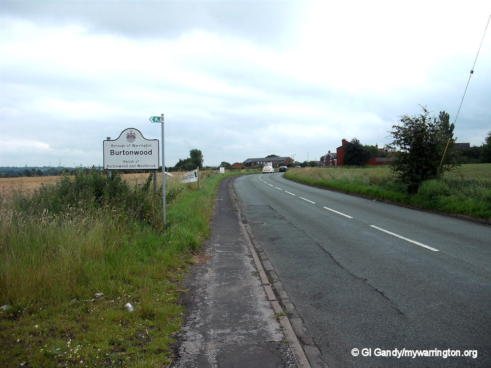
Burtonwood is a civil parish in the north-west area of the town, which includes Westbrook and Callands. The population is 3,265 (2021 Census). The name Burtonwood will forever be linked to the former RAF Burtonwood military base, although Burtonwood village itself is about two miles away from the base. Read more in RAF Burtonwood.
In 1870-72, John Marius Wilson’s Imperial Gazetteer of England and Wales described Burtonwood like this:
BURTON-WOOD, a township-chapelry in Warrington parish, Lancashire; adjacent to the Sankey canal and the Liverpool and Manchester railway, 1 mile S of Collins-Green r. station, and 4 NW by N of Warrington. Post Town, Warrington. Acres, 4,144. Real property, £6,545. Pop., 990. Houses, 188. The property is subdivided. The living is a p. curacy in the diocese of Chester. Value, £96. Patron, the Rector of Warrington. The church is fair; and there is a school with £12 from endowment.
GB Historical GIS / University of Portsmouth, History of Burtonwood, in Warrington and Lancashire | Map and description, A Vision of Britain through Time.
URL: https://www.visionofbritain.org.uk/place/4245
Date accessed: 22nd July 2024
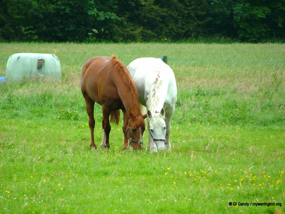
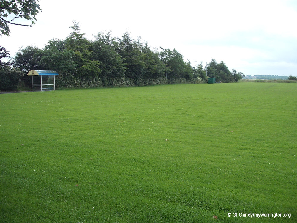
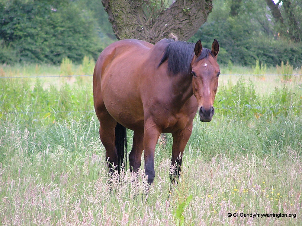
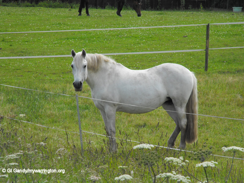
Horses on Back Lane fields (13 June 2006)
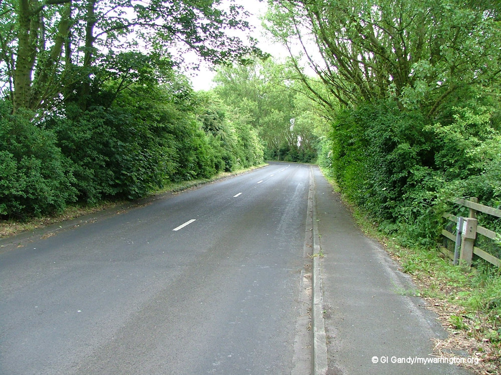
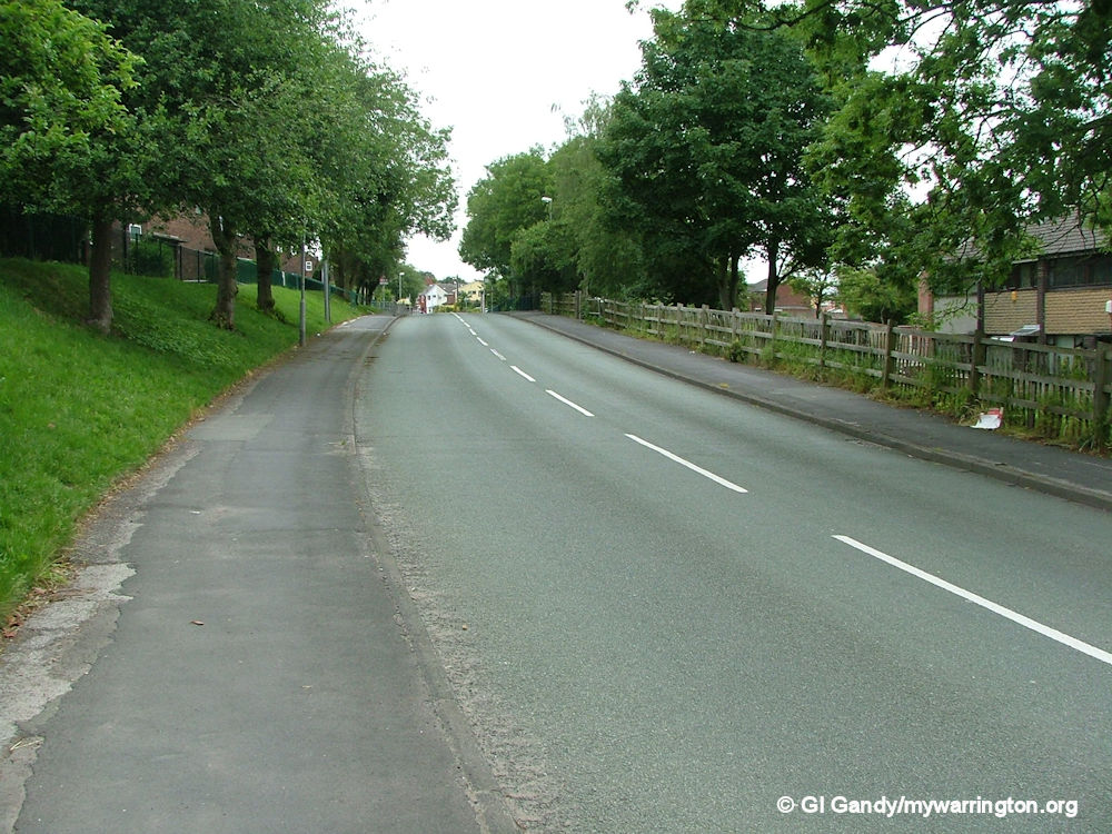
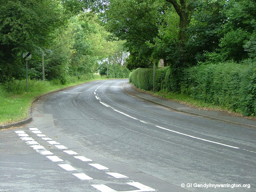
Lumber Lane approach to the village from the north of the district
Origins of the Name
It is suggested that the name of the village was Burton before the Norman Conquest of 1066, and means the farmstead (tun) by the fortified manor (burh). It acquired the name Burtonwood when when Henry I (1100-1135) included it in his forest. The addition of ‘wood’ to ‘Burton’ therefore gives the full meaning of Burtonwood as ‘the wood by the tun, or farmstead, near a fortified place, or burh’. The burh in question might have been Warrington, although it is just as close to St Helens and Newton-le-Willows. Finally, according to John Ayto’s ‘Dictionary of Word Origins’ (1990), the ton on the end of an English place name comes from a time when the word meant ‘farmstead’ and the Old English term for ‘town’ was burg, ancestor of the modern English word borough.
Chapelry
Burtonwood was a chapelry in the ancient parish of Warrington, in the West Derby Hundred of Lancashire. The village was a rural settlement until the late 19th century, characterized by loosely grouped farmsteads and cottages extending along Clay Lane, Chapel Lane and Phipps Lane. It was later created a civil parish and was part of the Warrington Poor Law Union and then the Warrington Rural District. In 1974 it became part of Warrington District and is now part of the Warrington Unitary Authority. It is still a civil parish (now named Burtonwood and Westbrook) and thus has its own Parish Council.
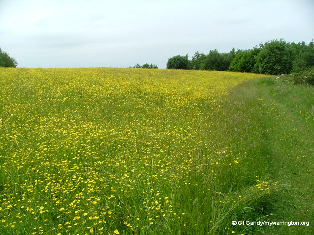
The parish of Burtonwood is characterized by low-lying, low-relief topography, comprising large-scale, open, flat farmland with fertile clay soil. Arable farming is dominant on the high-quality soils. Burtonwood parish is wholly within the Mersey Forest and is designated as green belt status. Local industries grew up in connection with farming, such as smithies and wheelwrights. Phipps Brook waterway runs through the district of Burtonwood.
Burtonwood’s population rose from 990 in 1861 to 2,408 in 1911 as the mining and brewing industries grew. The parish population increased to 8,238 in 1951 when the RAF Air Base personnel were included, but dropped to 4,899 in 1971, before rising to 11,265 today as a result of housing development on the old airbase site. RAF Burtonwood was mainly used by the United States Air Force between 1942 and its closure in 1993, and was the biggest US airbase in Europe. Read a more detailed account on the RAF Burtonwood page.
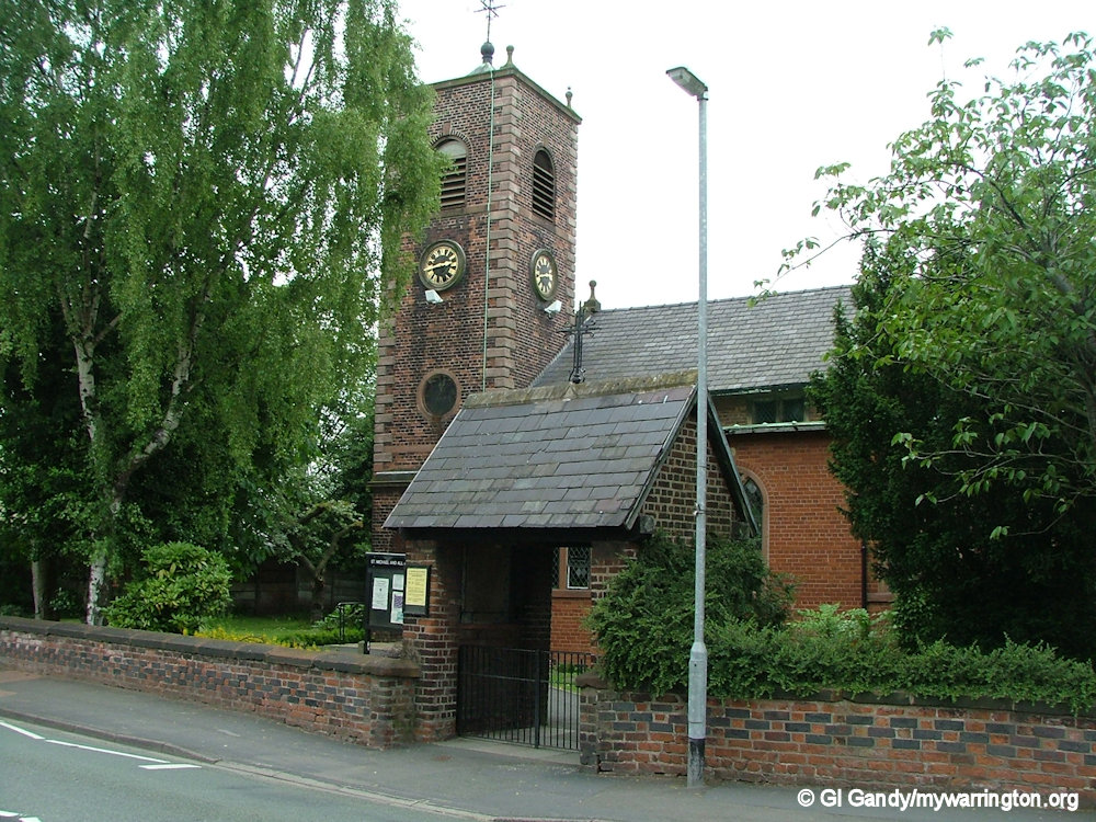
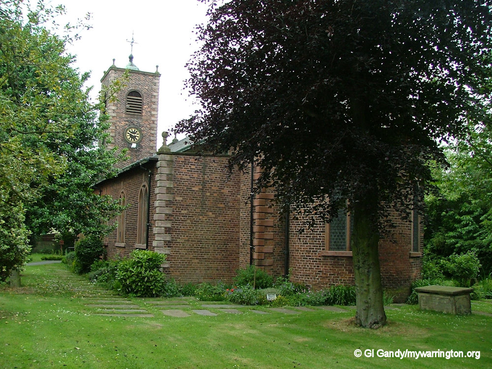
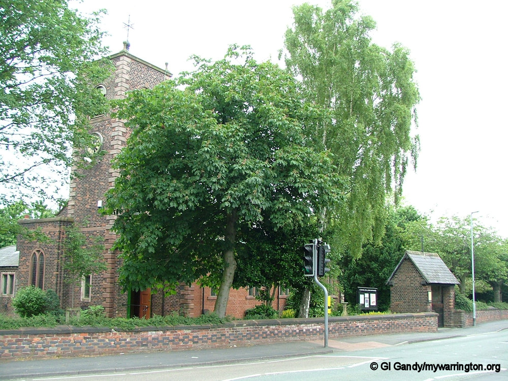
Churches
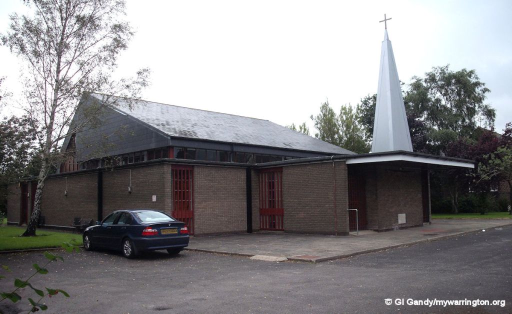
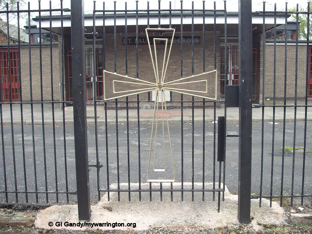
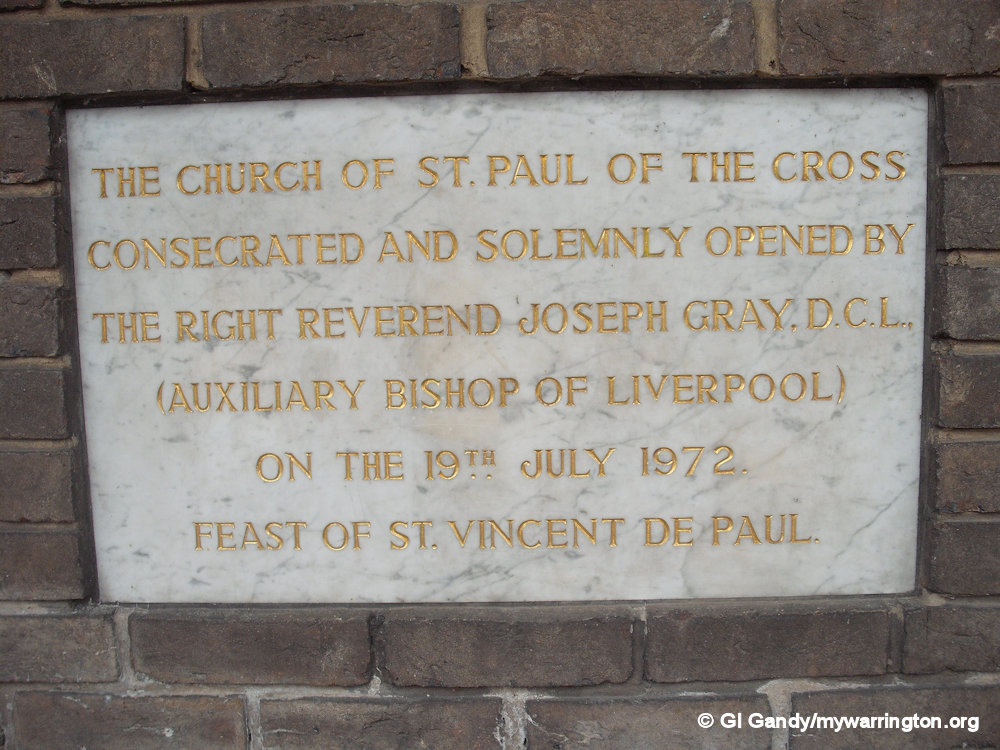
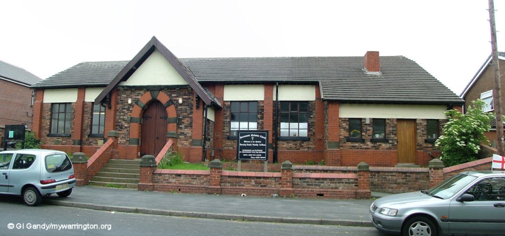
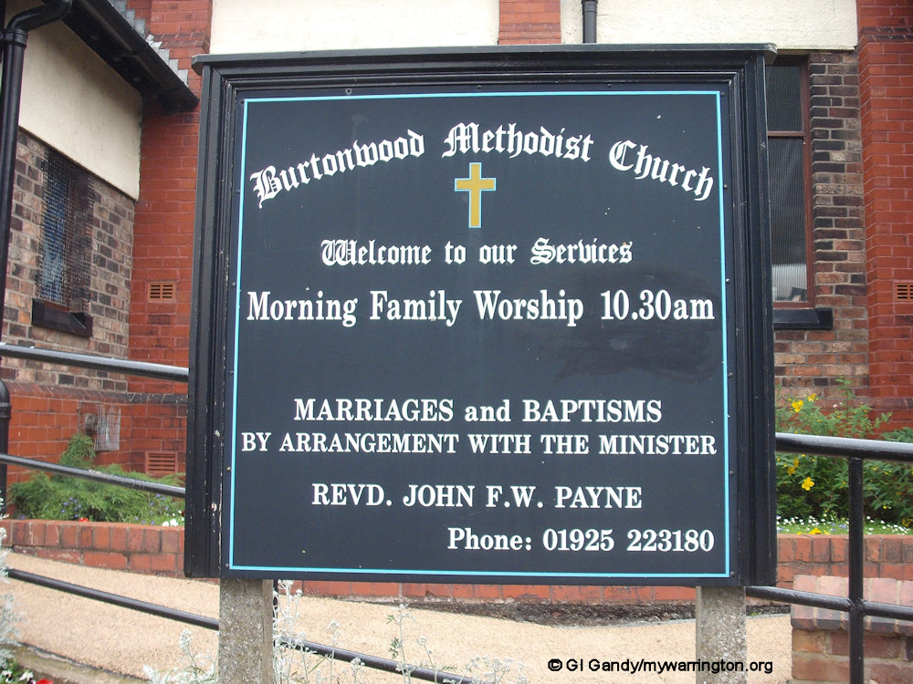
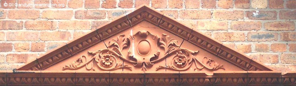
There are three churches: Burtonwood Methodist Church (built 1850), St. Paul of the Cross (Roman Catholic) and St. Michael and All Angels (Church of England). St. Michael and All Angels was founded in 1605 by Sir Thomas de Bold, rebuilt in 1716 and listed Grade II in 1966, the only listed building within Burtonwood village. It was consecrated by the Rt. Rev John Lord, Bishop of Chester, on 16 December 1634. David Forrest in his book A Warrington Chronology (Published 2005) says there was a St Paul of the Cross Mission on Clay Lane opened on 31 October 1886 and another entry for 26 January 1902 says “First St Paul of the Cross Church, Burtonwood officially opened”.

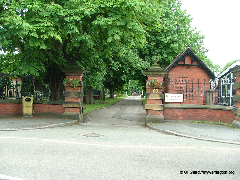
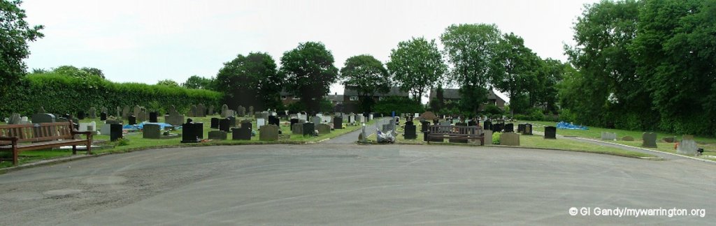
Burtonwood Cemetery
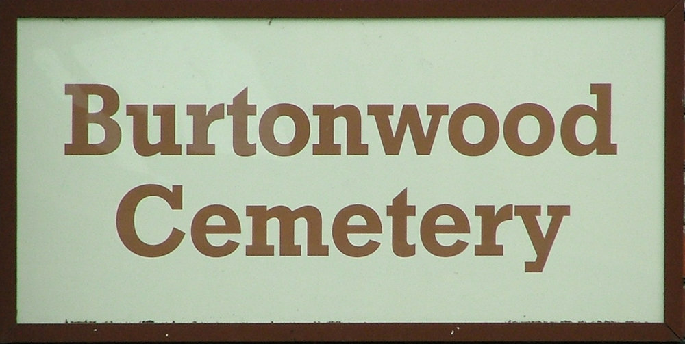
Burtonwood cemetery is one of five cemeteries owned and run by Warrington Borough Council. The other four are located at Manchester Road, Hollinfare, Walton Lea and Fox Covert.
The original burial ground for Burtonwood was in St Michael and All Angels Church. Burials ceased there in 1896 and Burtonwood cemetery opened across the road on Chapel Lane in 1901.
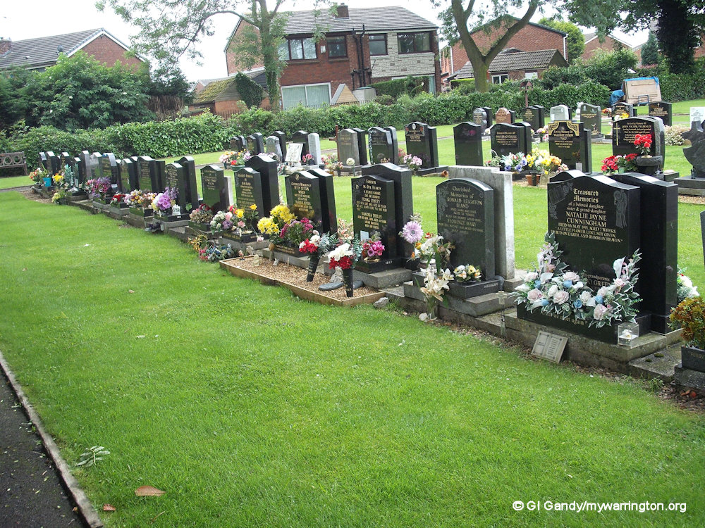
The cemetery is 1.9 acres (approx 7,700 square metres) in size. The graves of local residents include the Forshaw family (famous for Burtonwood brewery), Reverend Alfred Mansfield Mitchell, the longest serving vicar at St Michael and All Angels church, with 45 years’ service and Fred Philips, mayor of Warrington between 1982 and 1983. These are all buried in the Church of England section.
During World War II, British and American troops were stationed at RAF Burtonwood, two miles from the village. Servicemen buried in the cemetery include Vern Leroy Reid, a veteran of the Berlin Airlift, who died in 2006 and James Campbell Kennedy who served in Korea and Vietnam. In section 14 of the graveyard stands a granite teddy bear with the inscription God’s Little Angels Called Back to Heaven. An American colonel based at Burtonwood once owned the grave itself, tragically having lost his unborn baby. On his return to America the colonel donated the grave back to Warrington Bereavement services on the understanding that it was looked after and that any unborn babies who had passed away in Burtonwood could be laid to rest in that spot.
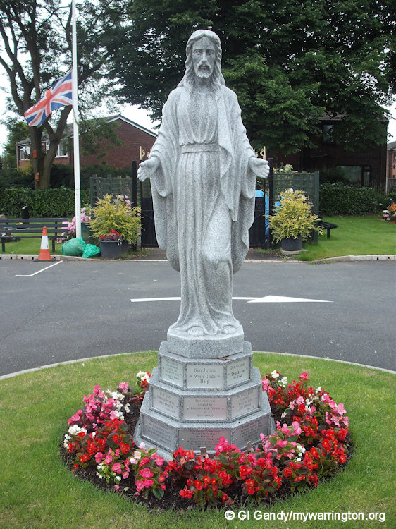
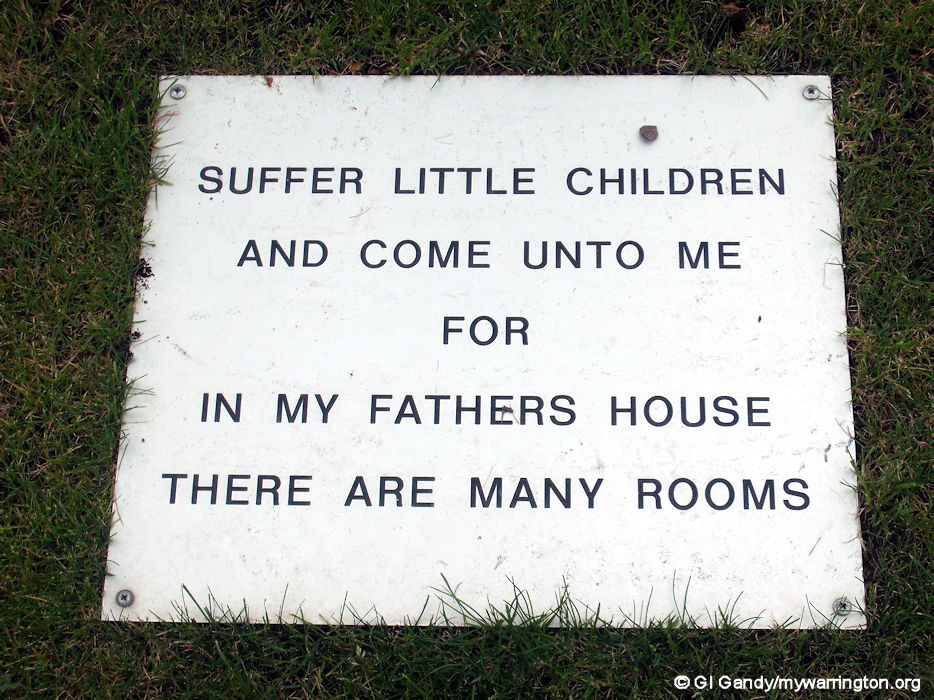
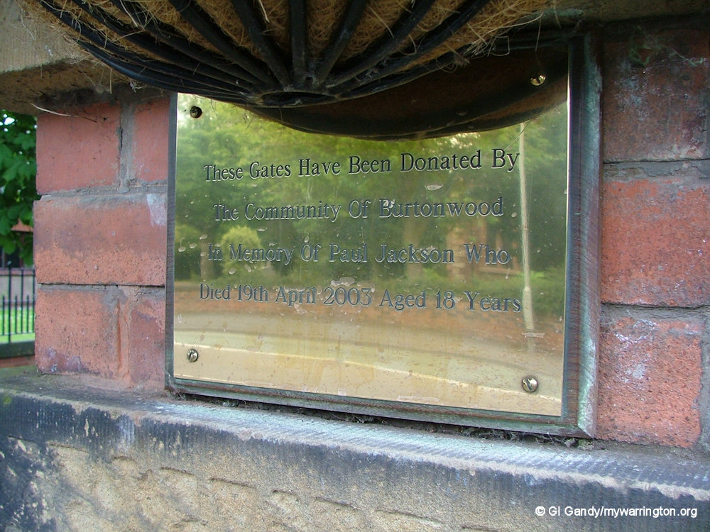
Alongside a statue of Christ is a stone plinth mentioning Jesus’s words from Matthew 19:14 which are translated as ‘Suffer little children, and forbid them not, to come unto me: for of such is the kingdom of heaven’ in the King James Version. The word suffer does not mean children should be harmed or abused. As you can see from the images below, the Greek word translated as suffer means ‘let’ or ‘allow’. See the other translations in the third image.

Here are some more photos of Burtonwood cemetery taken on 13 June 2006.
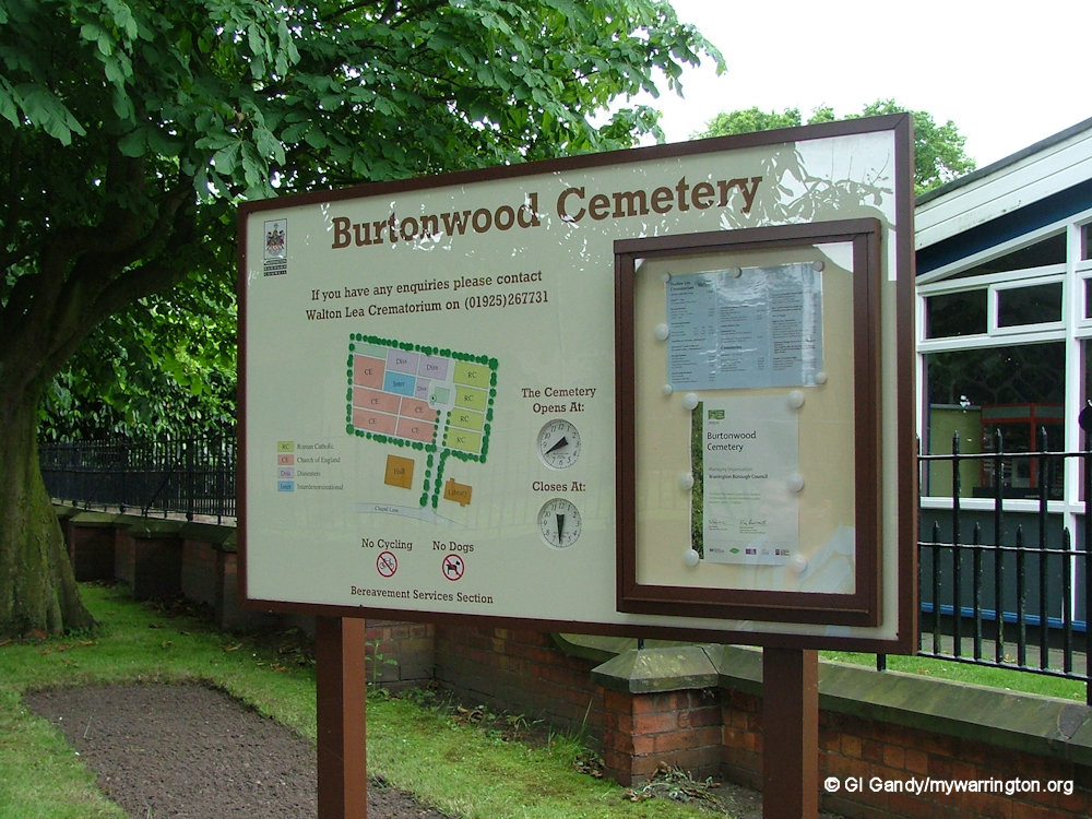
Read more about this, including the Catholic and interdenominational sections, and the other cemeteries on the Warrington Borough Council website.
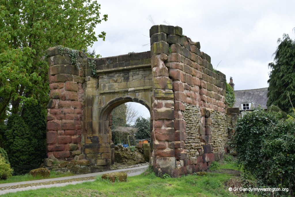
Bradlegh Old Hall
Notes in this section courtesy of Dr David Harrison 2017.

Bradlegh Hall is how it is named on the 1888-1913 OS map. On the 1885 one-inch map and the 1923 half-inch map it is shown as Bradley Hall. However, the official Grade II listing has Bradlegh Old Hall as the name, although it is shown on Bradley Lane.
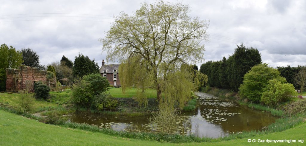
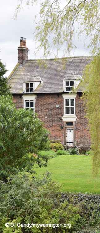
Bradlegh Old Hall is an excellent example of a late medieval moated site, situated near Burtonwood Village in Cheshire, not far from St. Helens and Warrington. The manor house, first built around 1460, then rebuilt in the late 1700s as a Georgian manor house, still retains a number of features from the original building such as the main door and the oak beams. The moat and the medieval gatehouse still survive and are in good condition.
Included in the house is the original Tudor style bed that Richard III supposedly slept in when he stayed at the Hall in 1482. There have also been many finds from the Civil War (Cromwell also supposedly stayed there) and there is an oak timber beam which is inscribed a Catholic script, as the Legh family who lived there were said to be secret Catholics after the Reformation.
In the book A Burtonwood Story by J. P. Fogarty, published in 1986, Bradlegh Old Hall is mentioned extensively displaying a number of black and white photos. A mention of the Hall by Peter Legh in 1465 is printed, in which it says the Hall had:
‘…three new chambers and a fair dining room, with a new kitchen, bakehouse and brewhouse, and also with a new tower built of stone with turrets and a fair gateway, and above it a stone bastille well defended, with a fair chapel…also one ancient chamber called the Knyghtes Chamber…surrounded by a moat with a drawbridge…’
The two coats of arms displayed at the top of the stairs on the first floor are of Standish of Standish and Legh of Lyme – both taken from the original Hall, along with a number of oak doors and beams, such as the one in the front attic room which displays the legend:
‘Here Master doth and Mistress both accorde with godly mindes and zealous hartes to serve the livinge Lorde. 1597 Henry Wesle’
This seems to suggest a continuation of the practice of Catholicism by the family.
The book by Fogarty also mentions that Peter Legh supported the Duke of Gloucester (Richard III) with King Richard III granting Peter Legh £10 per year for life in consideration for his loyal services. Fogarty mentions that the Duke of Gloucester was reputed to have stayed at the Hall in 1482 when the Duke was marching through Lancashire to repel the Scots. The Kings Bed – a late medieval oak bed – is still in the Hall, and the story of the Duke staying at the Hall seemed to have originated from Lady Legh’s history of the Legh family.
Other books which mention Bradlegh Old Hall include Warrington and the Mid-Mersey Valley by G.A. Carter, published in 1971, which also mentions Peter Legh’s 1485 description, and the Legh family connection to the nearby Winwick Church where a number of the family are buried. The Hall, according to Carter, was mentioned as ‘lying waste’ in 1666, which may be because of activity during the Civil War were there was nearby the battle of Winwick in 1648. There has been a cannonball and shot recovered from the moat which dates to the Civil War period, and there are local stories of secret tunnels from the Hall to the nearby Winwick Church and that Oliver Cromwell himself stayed at the Hall.
The Hall is still privately owned and can be seen from the many public pathways that run from the Sankey Canal towards Burtonwood.
© Dr David Harrison 2017. From drdavidharrison.blogspot.com
Thanks to David Harrison for copyright clearance on Bradlegh Old Hall notes.
Burtonwood Brewery
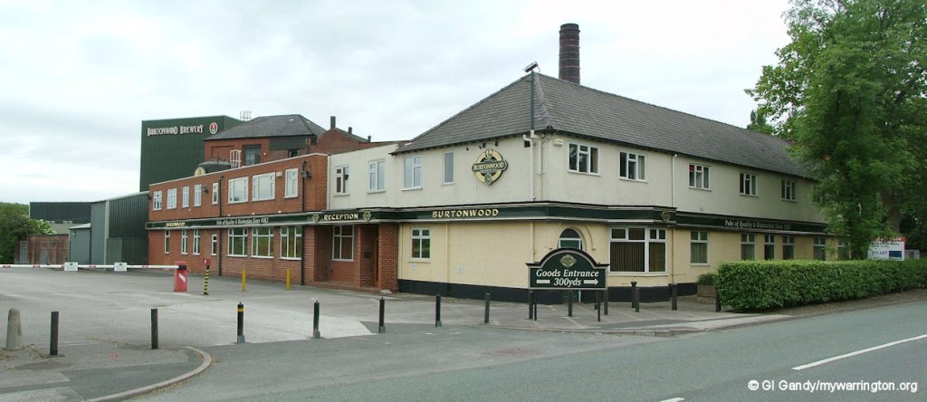
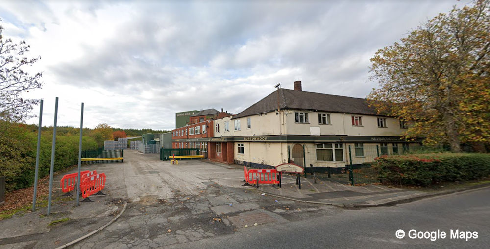
Burtonwood Brewery (my photo 13 Jun 2006, left, and Google Maps view Oct 2022, right)
Burtonwood brewery was founded in March 1867 when James and Jane Forshaw purchased land in the village. James had some brewing experience in Ormskirk and chose the site between Burtonwood and St Helens because it had an adequate supply of water available.
James died in 1880 and the business went into bottled beer in 1895 and won an award for its Bottled Stout a year later.
From 1904 the company started supplying workingmen’s clubs in the local areas of Warrington, St Helens, Haydock and Earlestown and by 1907 they were producing 200 barrels a week.
In 1937 the Brewery was substantially rebuilt, and by 1939 it owned 138 freehold and 96 leasehold houses. in 1949 the company was re-named Burtonwood Brewery Co. (Forshaws) Ltd, following a reorganization of the business.
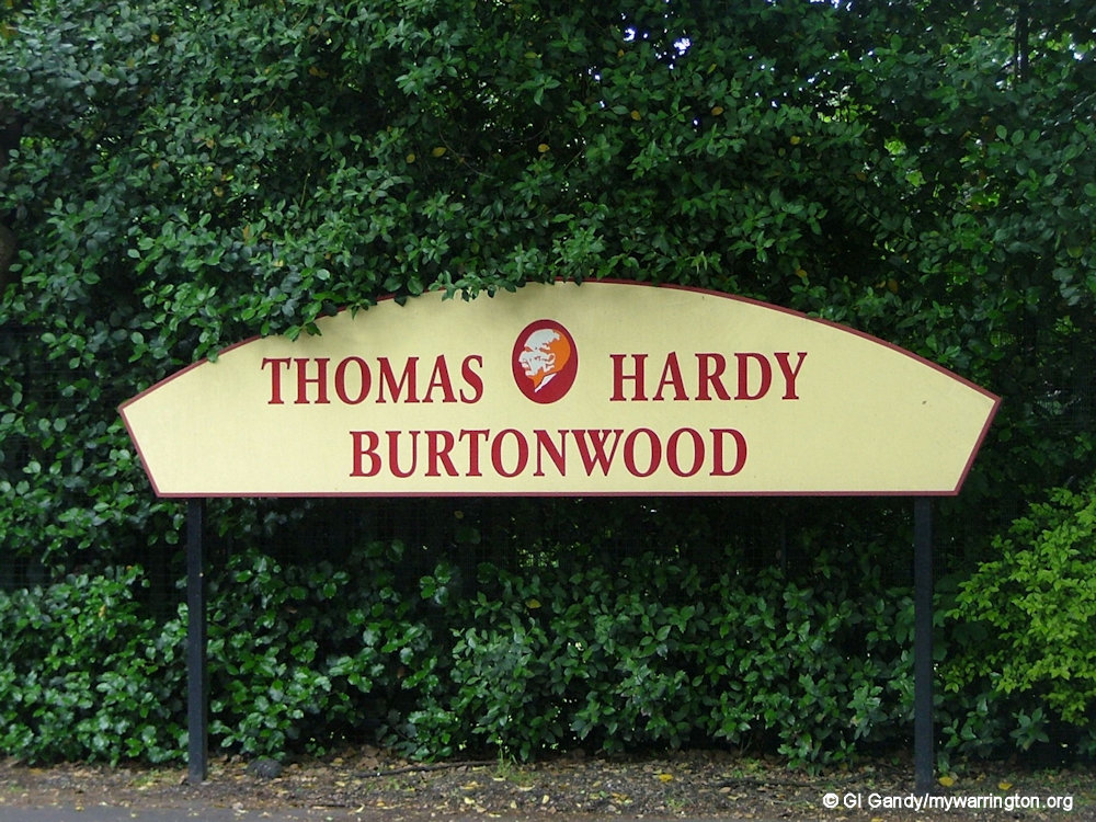
It became a public company in 1964 and was later renamed the Thomas Hardy Burtonwood Brewery. They sold their pubs to Banks’s Beer in 2005, resulting in Burtonwood beers brewing at Marston’s Beer Company Limited. The brewery was taken over by Molson Coors Brewing Company (UK) Limited in Spring 2015.
See www.newton-le-willows.com and quaffale.org.uk for more.
Around the Village
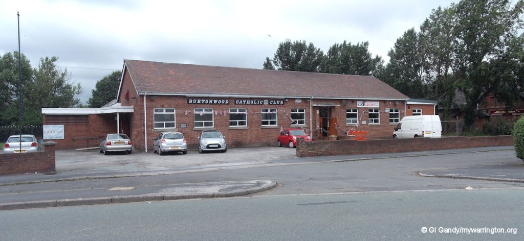
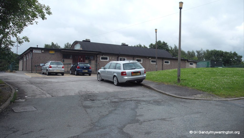
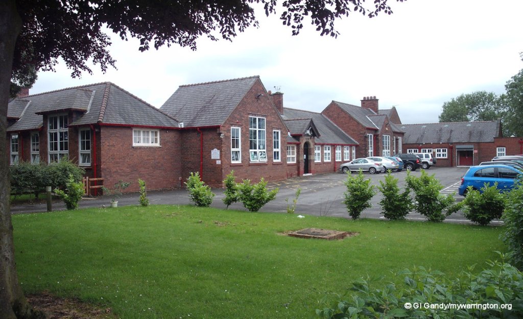
Burtonwood Catholic Club opened on 30 July 1955 on Phipps Lane. Burtonwood Community Centre is on Green Jones Brow. There are two primary schools, St. Paul of the Cross Catholic Primary School (opened 24 January 1887) and Burtonwood Community Primary School (which has a swimming pool) on Green Lane. The land now occupied by houses and the children’s play area north of Chapel Lane was originally the location of Warrington Rural District Council’s sewage works.
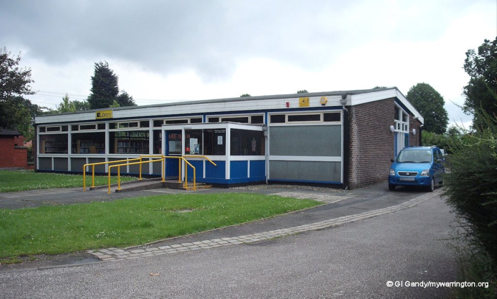
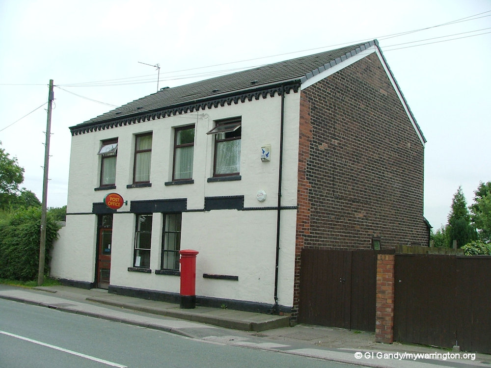
The post office is now located within Burtonwood library, having originally occupied a two storey building further along Chapel Lane, which is now a private residence.
Fir Tree Farm house occupied the land directly opposite Alder Lane’s junction into the village, with the old vicarage diagonally opposite. Other farms in the area of Alder Lane and Fir Tree Lane include Alder Lane Farm, Green Lane Farm, Brant Wood Mill Farm, Hall Lane Farm, Red House Farm, Clayton’s House Farm, Conway’s Farm and Boarded Barn Farm. For locations of other farms in the Burtonwood area, I recommend the Side by Side Viewer from the National Library of Scotland. They are great for comparing locations on maps from the past with the modern satellite maps available online.
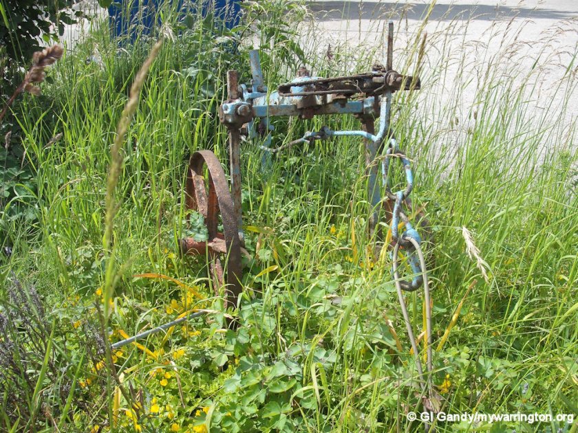
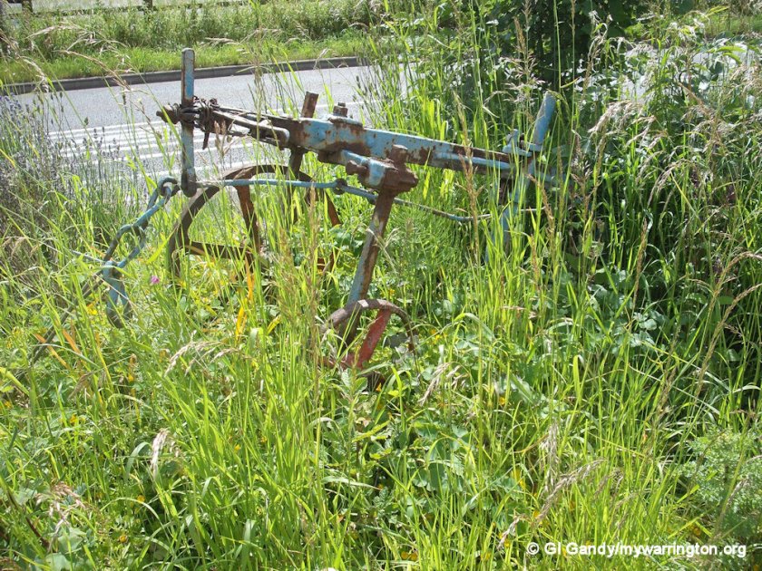
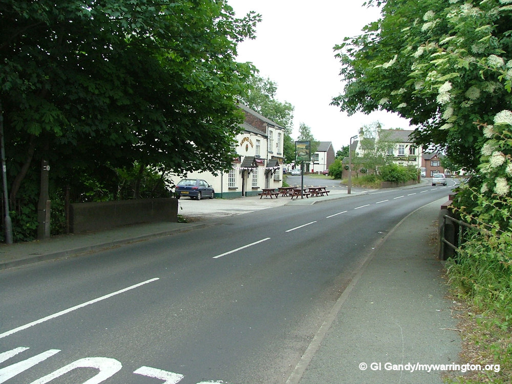
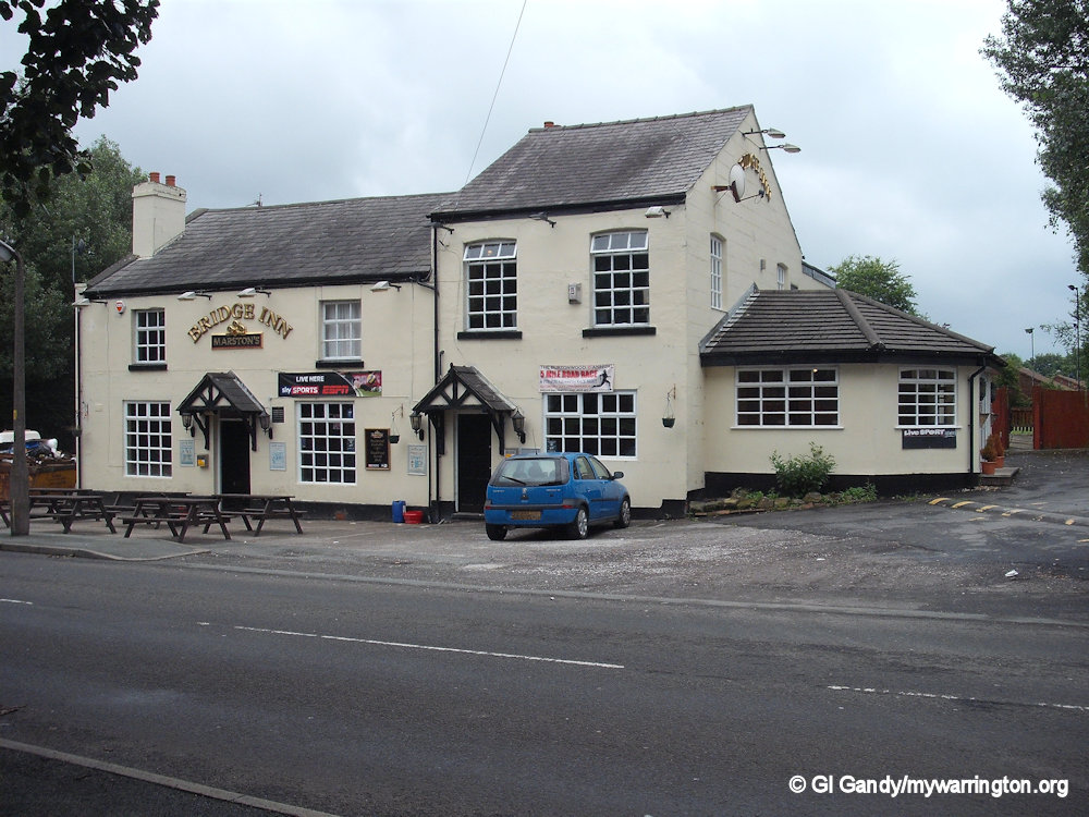
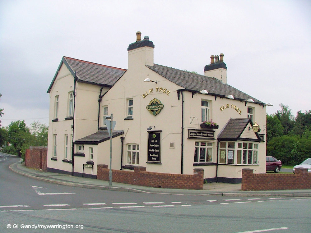
Only one public house stands in the village today: the Chapel Inn on Chapel Lane. Two have been demolished (the Elm Tree on Chapel Lane and the Bridge Inn on Phipps Lane).
Fiddle I’Th Bag Inn

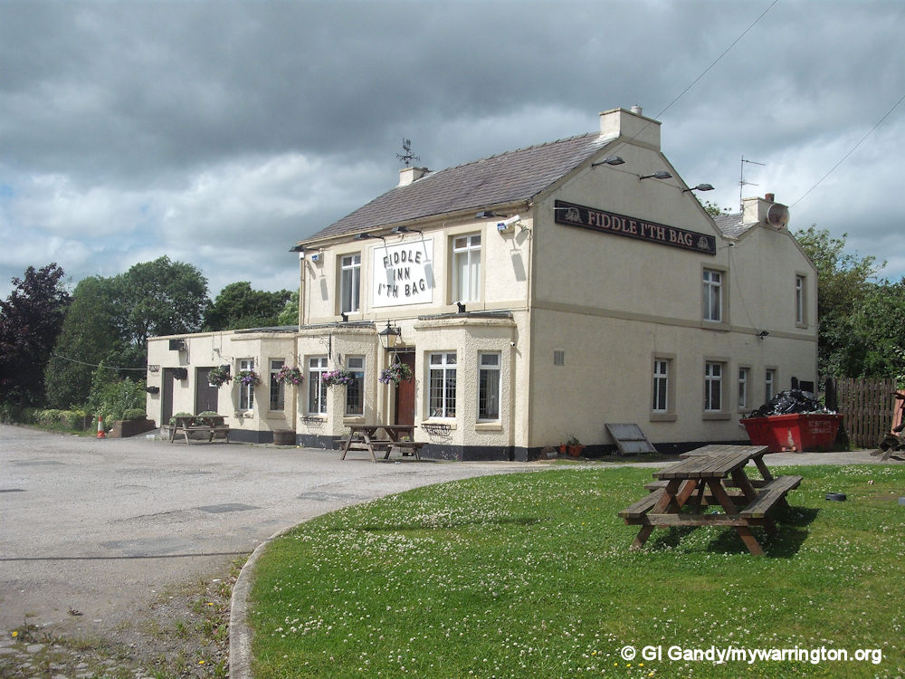
A fourth pub in the district is the Fiddle I’Th Bag Inn, which closed in 2018. There was a plan to re-open the pub after a fire in 2020. See these two Warrington Guardian stories for more. Story 1. Story 2. However, despite community efforts and offers of business use for the building, it was demolished on 20 October 2025. Again, see the Warrington Guardian for more. Also here. It was located on Alder Lane on the approach to the village from the east.
The building is the final one of four original place markers laid down in the village and civil parish of Burtonwood and Westbrook in the 1840s. The namesake hails from a pastoral instrument used for sowing corn predating the Industrial Revolution of 1760 when many north-west-based places began their existence as agricultural settlements.
The pub also has a place in military history. History records serving airmen and their families from both sides of the Atlantic Ocean as far back as World War I. RAF Burtonwood, established in 1940, formed a strategic location for the Allies and the United States Army Air Forces, who operated the airbase during the Second World War before returning it back to British command. See Cheshire Live.


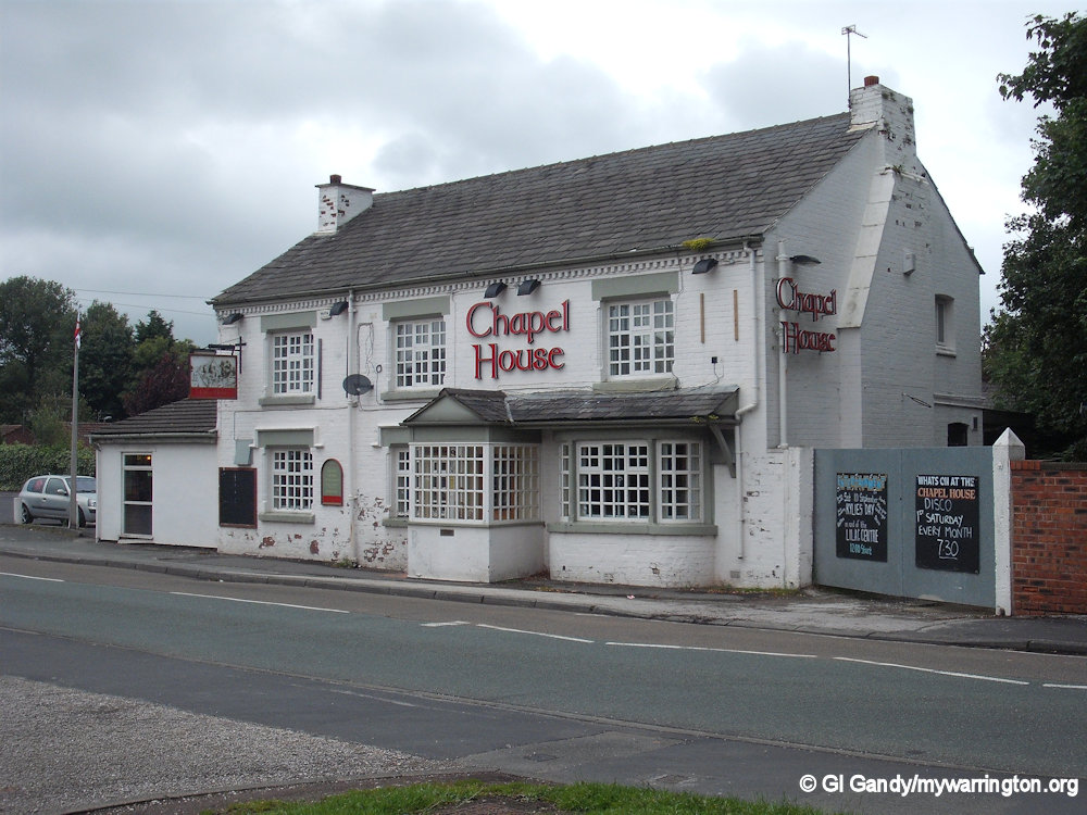
The Other Pubs


More Scenes

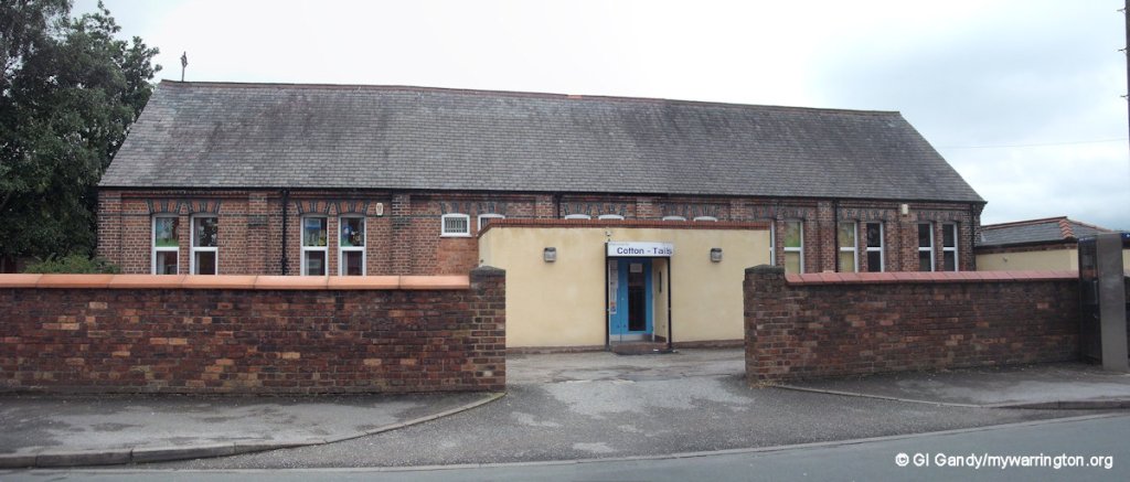
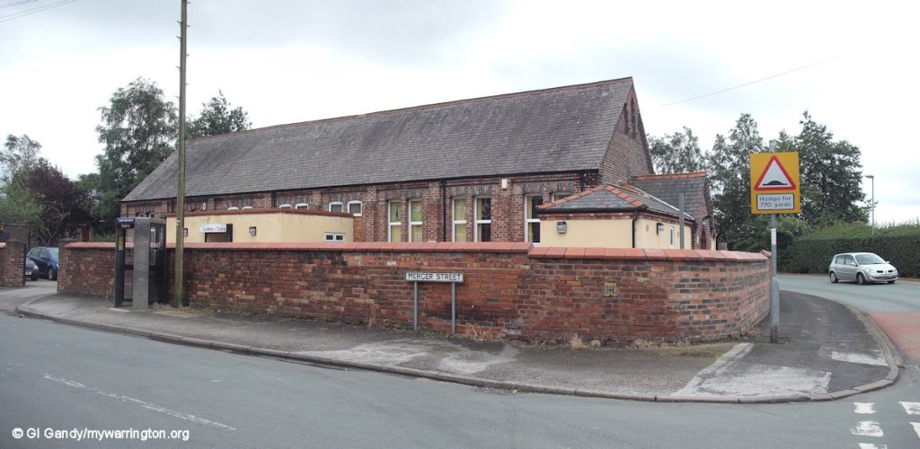
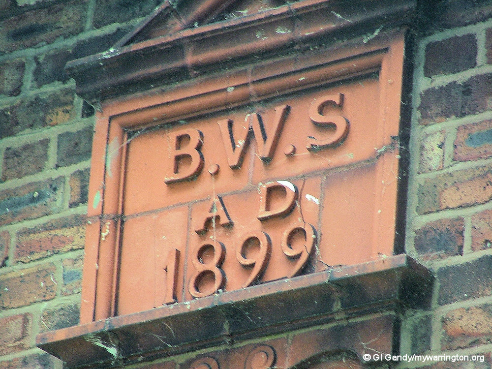
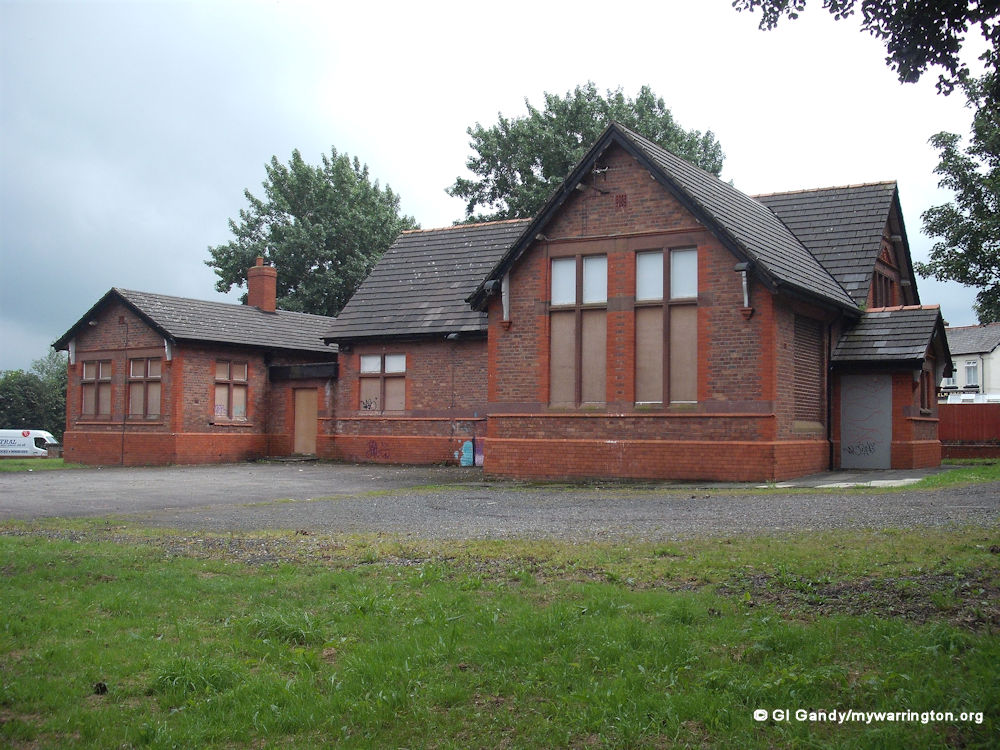
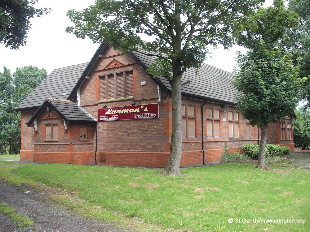
The following photos show Burtonwood Youth Base on Clay Lane. It was converted into Lugman’s Indian Restaurant for a period of time. It started out as a school in 1899 and the street alongside was School Lane, but has now been renamed as part of Phipps Lane in modern times. Personally, I would have preferred School Lane to remind us of the existence of the school in former times.

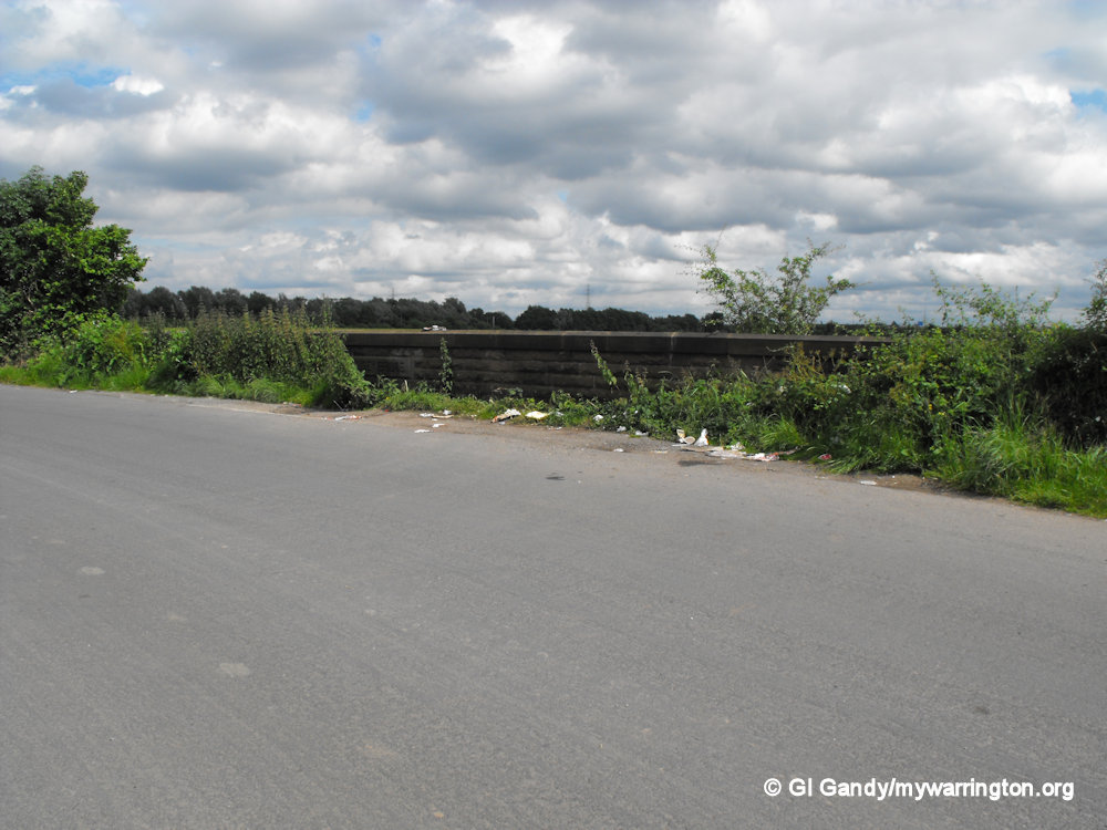
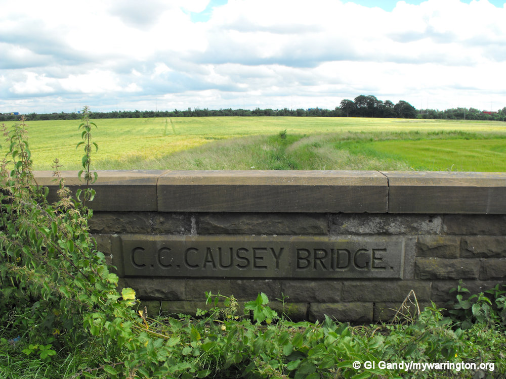
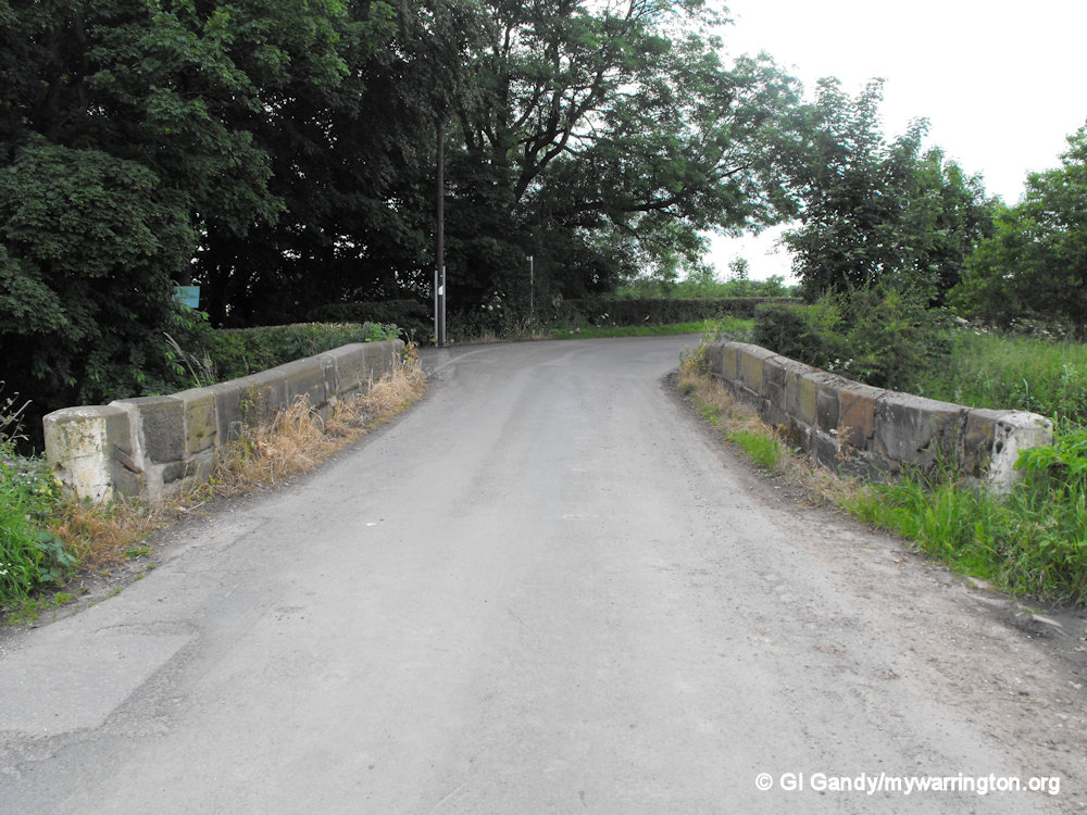
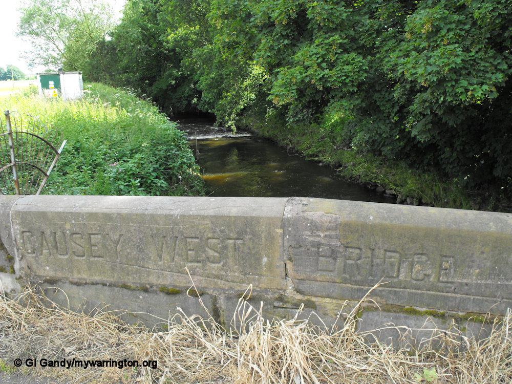
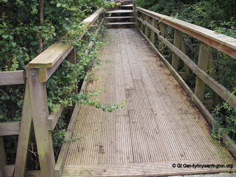
Bridges and Brooks
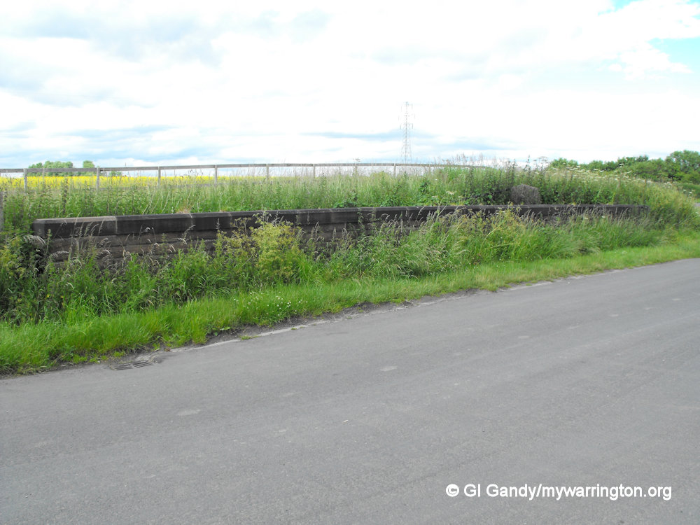
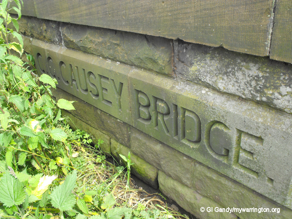
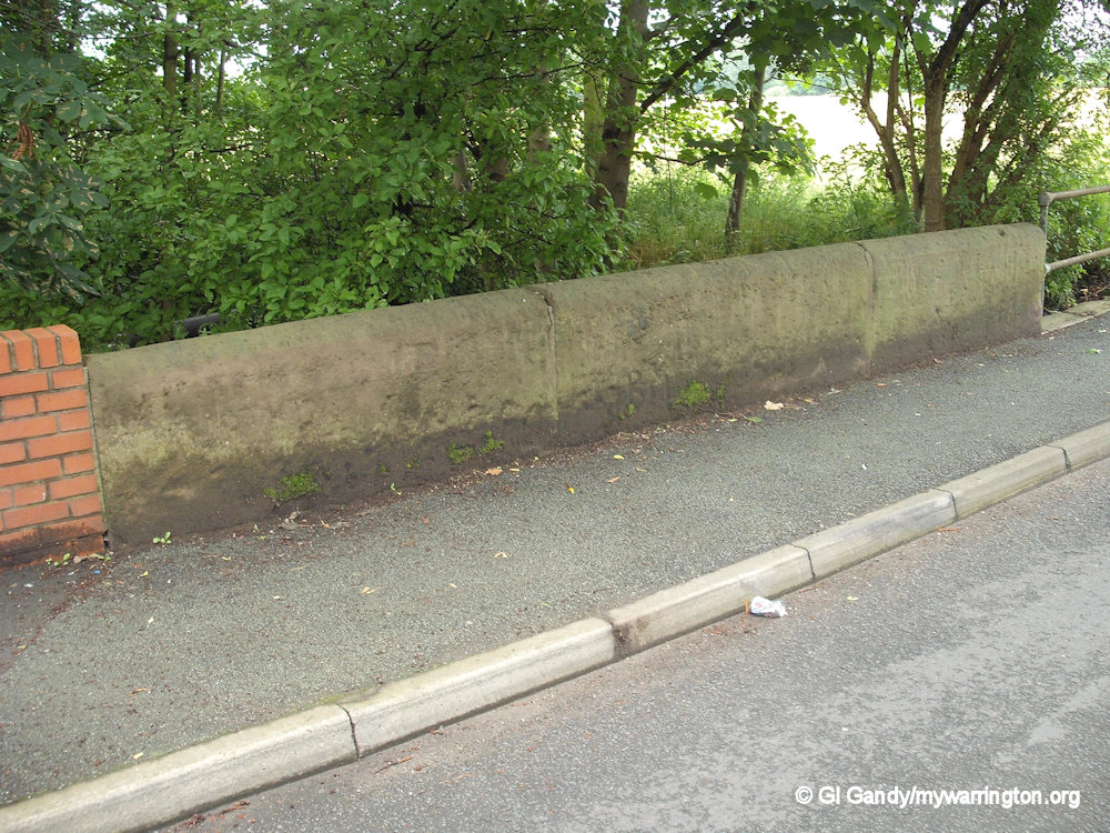
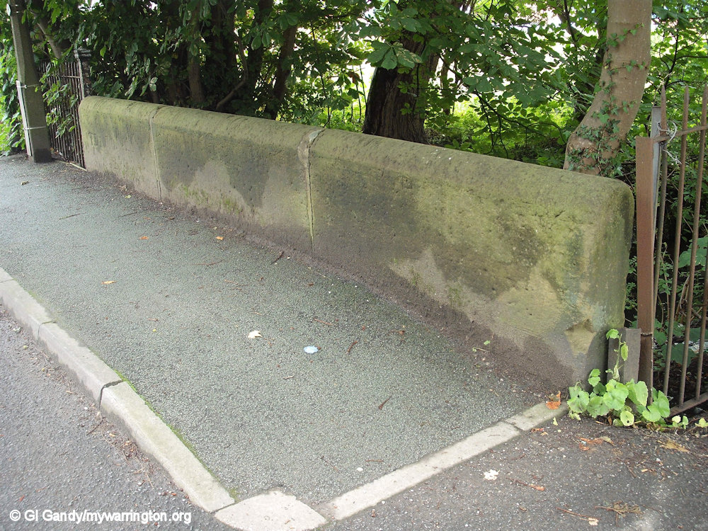
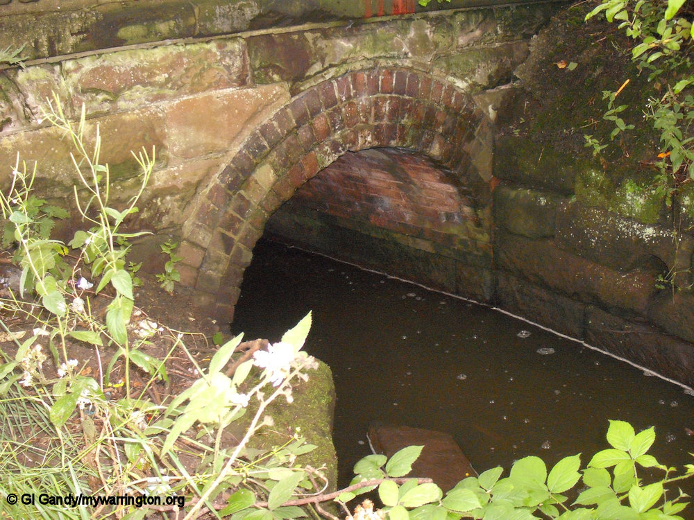
Causey Bridge and Causey West Bridge on Old Alder Lane on the approach to the village from Winwick Quay. From that direction you will approach Causey Bridge first and further down the road Causey West Bridge crosses the Sankey Brook.
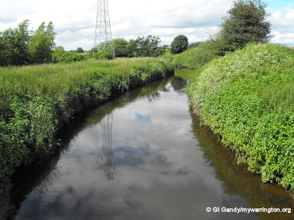
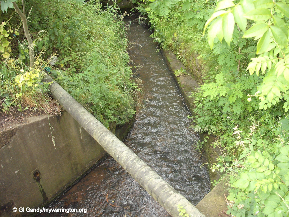
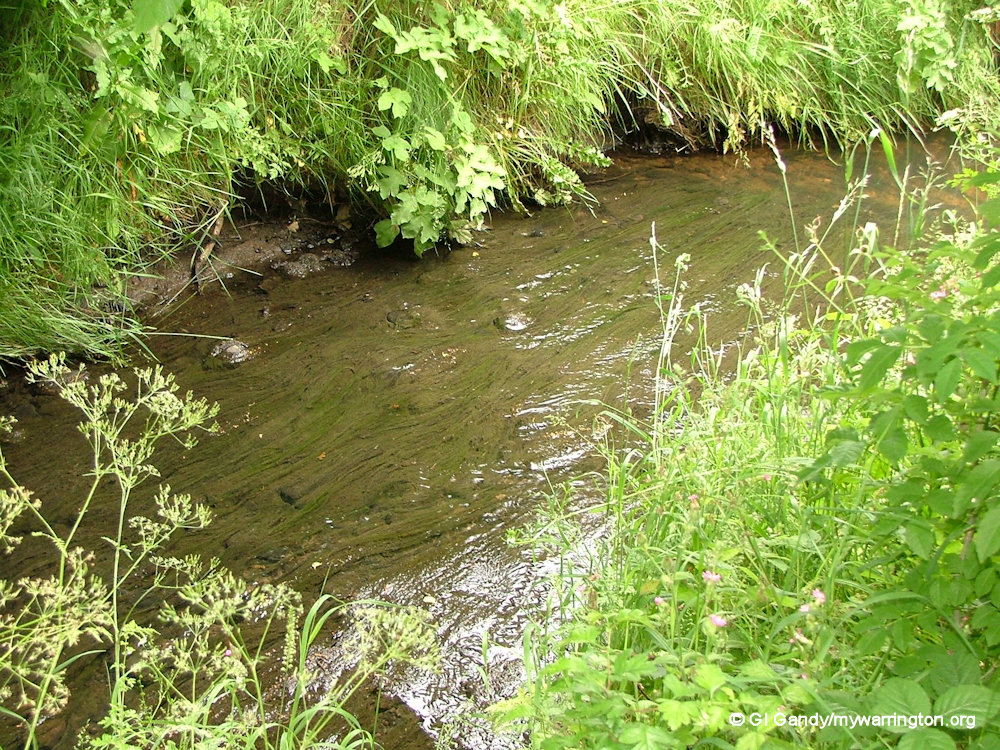
Phipps Bridge and Phipps Brook
Burtonwood Green
Burtonwood Green is not a place as such. Rather, it is a selection of the open green spaces and play areas around the village.
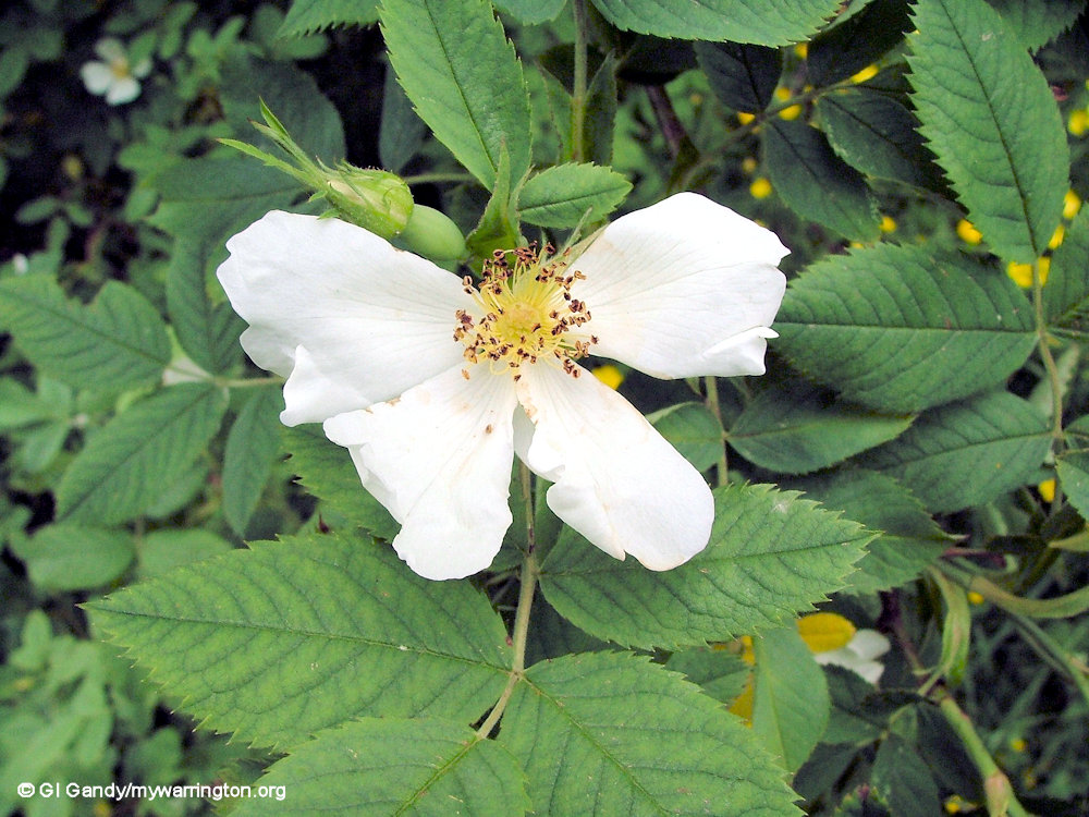
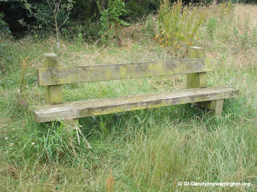
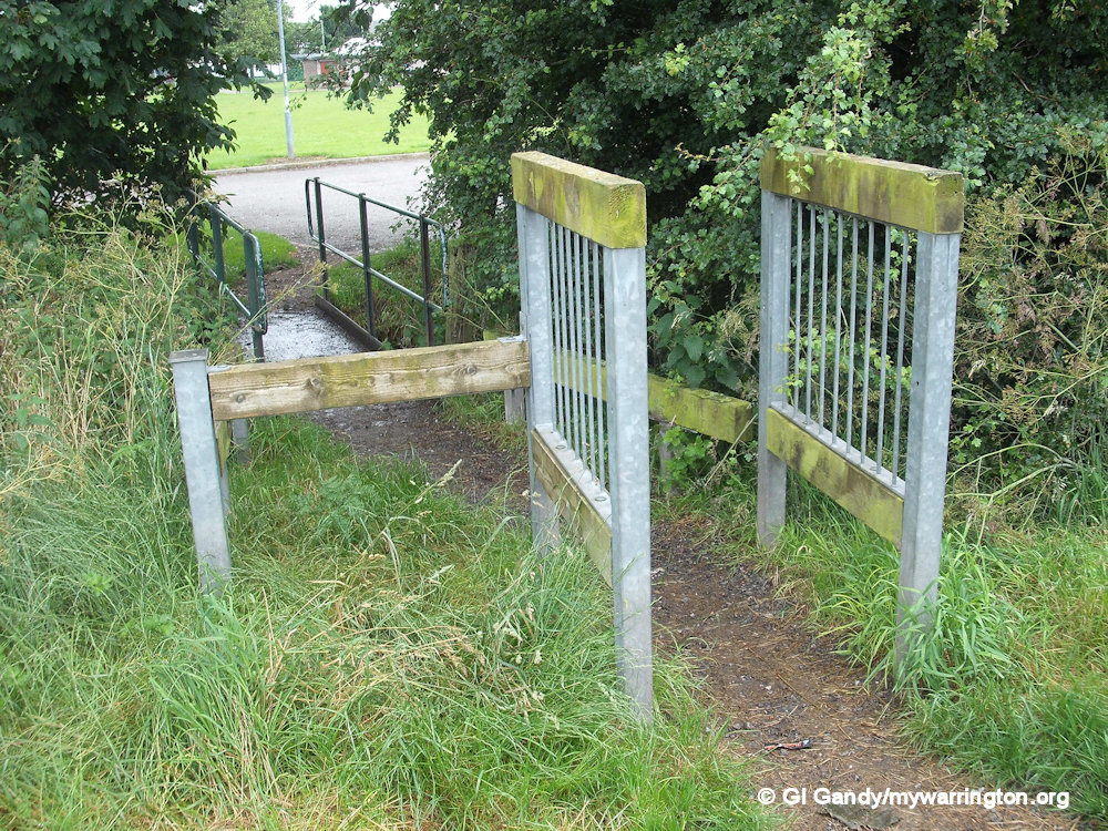
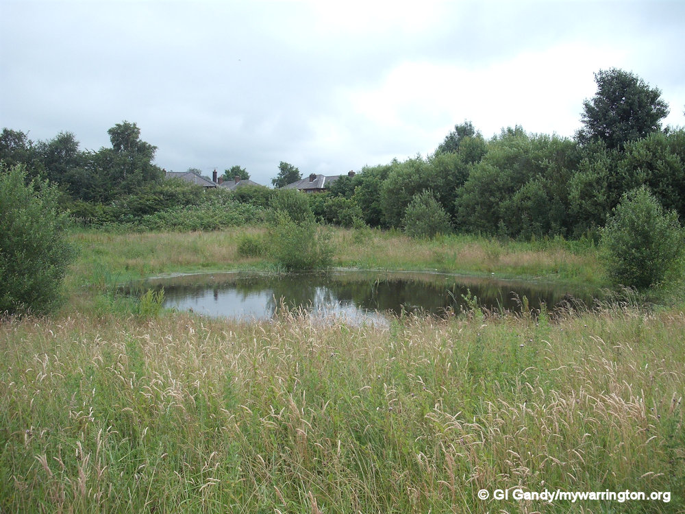
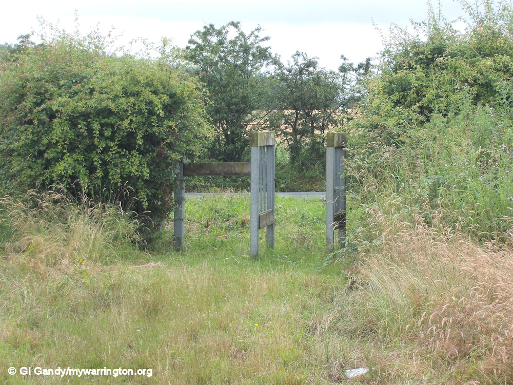
Burtonwood Nature Park
The nature park was opened after Warrington Borough Council purchased the land in 1987. The plaque below tells us the park was made possible from the Granada Landscape Awards in association with the Countryside Commission and Groundwork Partnership For Action.

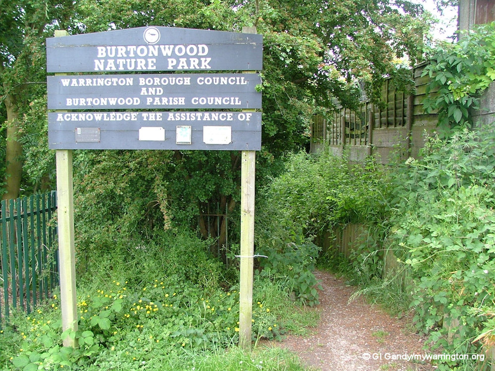


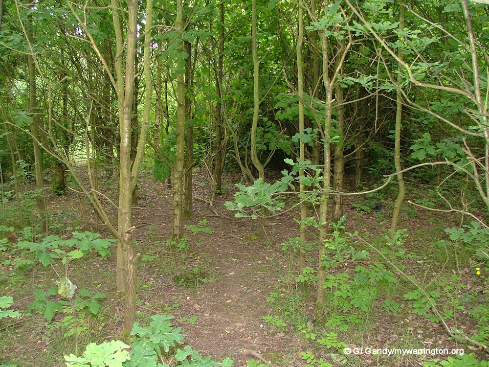
Burtonwood Nature Park off Green Jones Brow . Photos taken 13 June 2006. See more photos in Warrington Green.
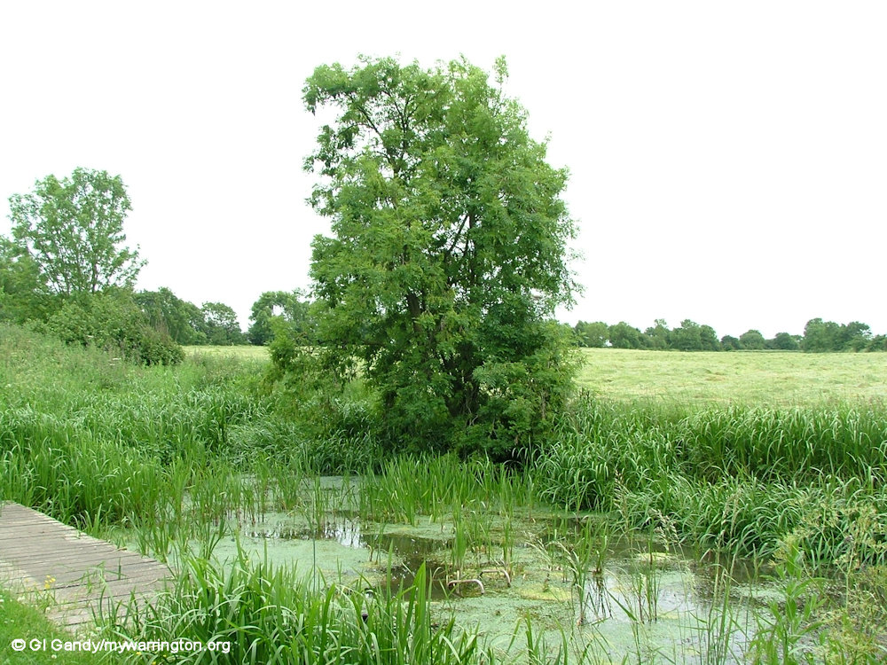
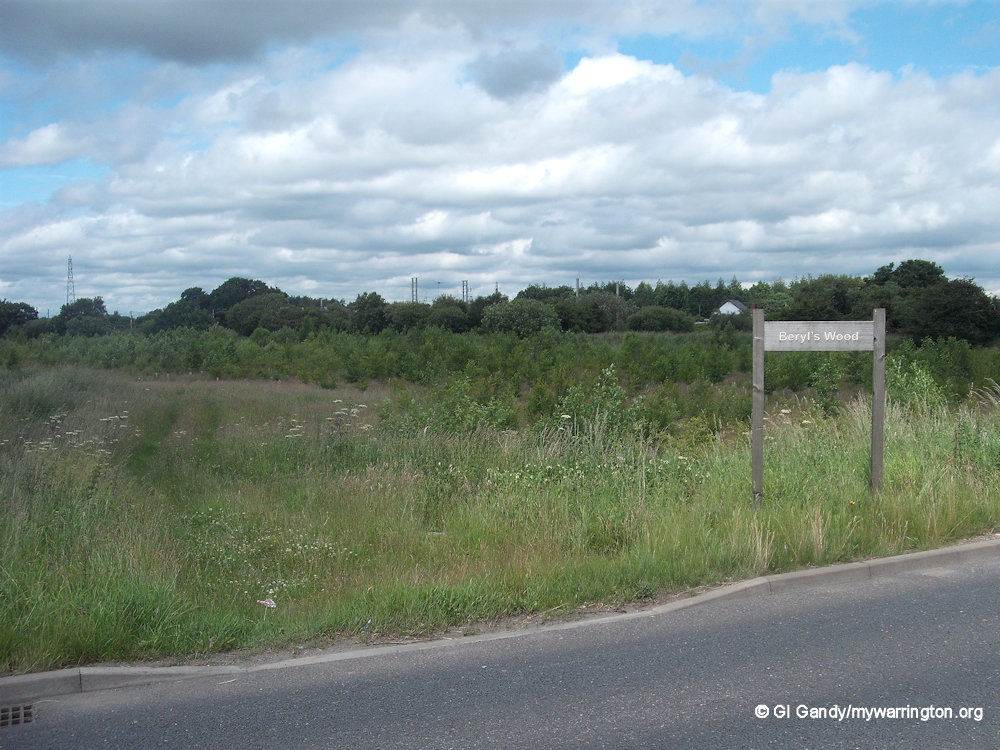
Beryl’s Wood
Beryl’s Wood is on Alder Lane alongside the Sankey Brook on the approach to the village from Winwick and near to the now-closed Fiddle I’Th Bag Inn. However, looking at the Google map from October 2022 it seems to be fenced off now. I have no further information about this green space, so I assume it is named in memory of a local resident.


Beryl’s Wood off Alder Lane on the approach to the village from Winwick on 27 June 2012.
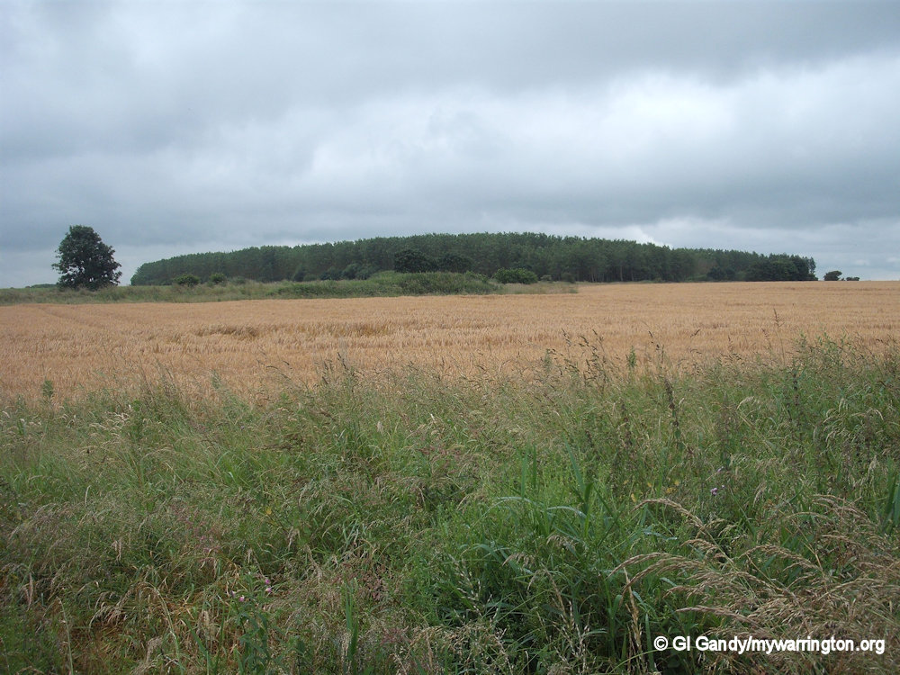
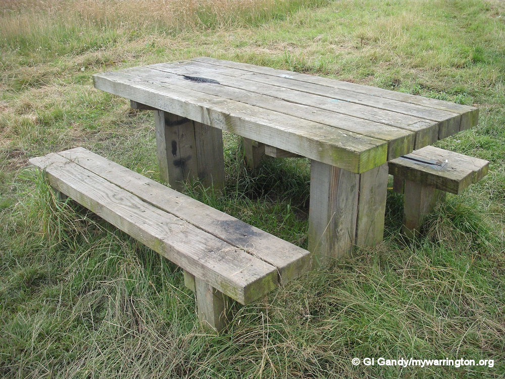
Wheatacre Woods
Located off Gorsey Lane, Wheatacre Woods with its gravel paths and benches around the site is an ideal place for picnics and getting back to nature. As I am not a wheelchair user or parent with child, I cannot guarantee a smooth surface all the way round, but it does look reasonably accessible.
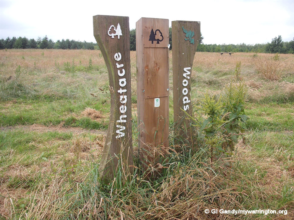
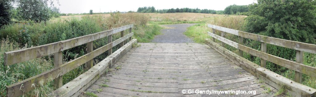

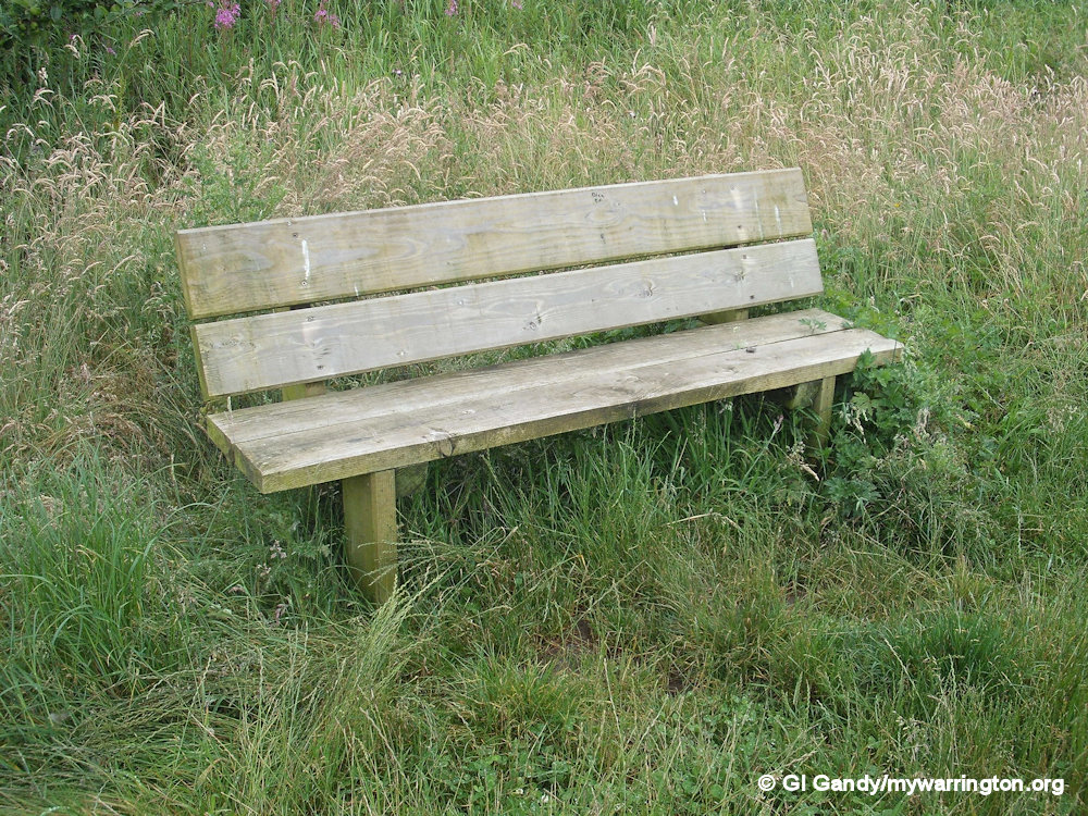
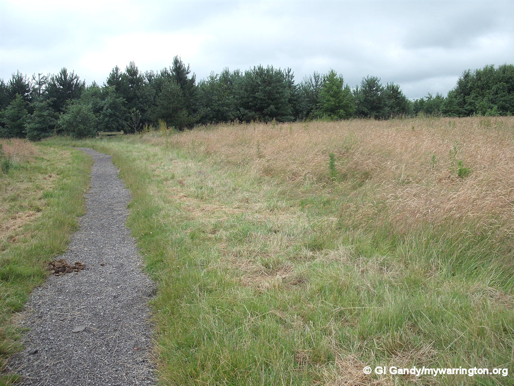
Wheatacre Woods off Gorsey Lane. Photos taken 9 July 2012.
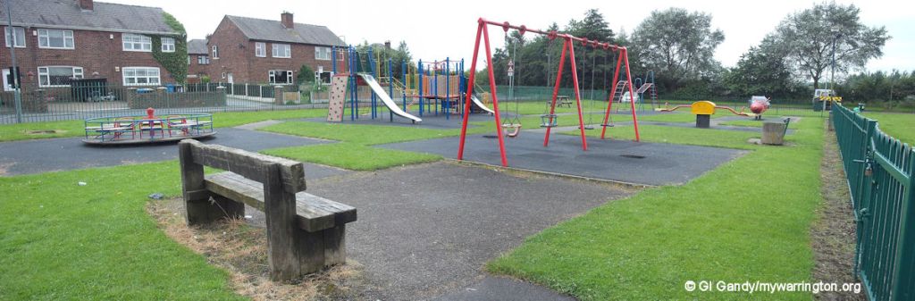
Play Areas and Parks
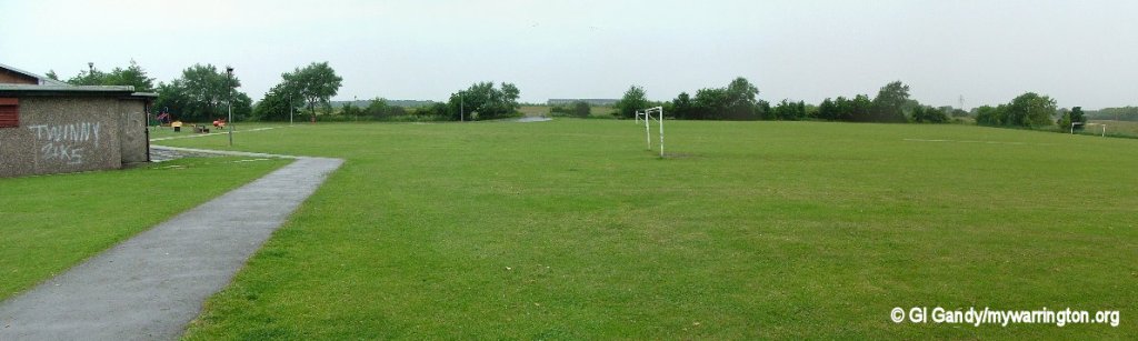
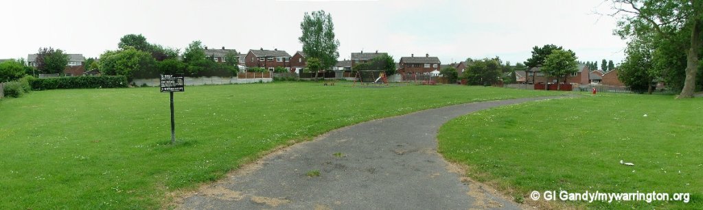
Other Green Areas