

In 1870-72, John Marius Wilson’s Imperial Gazetteer of England and Wales described Collins Green like this:
COLLINS-GREEN, a village, with a r. station, in Warrington parish, Lancashire; on the Liverpool and Manchester railway, 2¼ miles W by S of Newton.
GB Historical GIS / University of Portsmouth, History of Collins Green, in Warrington and Lancashire | Map and description, A Vision of Britain through Time.
URL: https://www.visionofbritain.org.uk/place/26528
Date accessed: 22nd July 2024
Origins
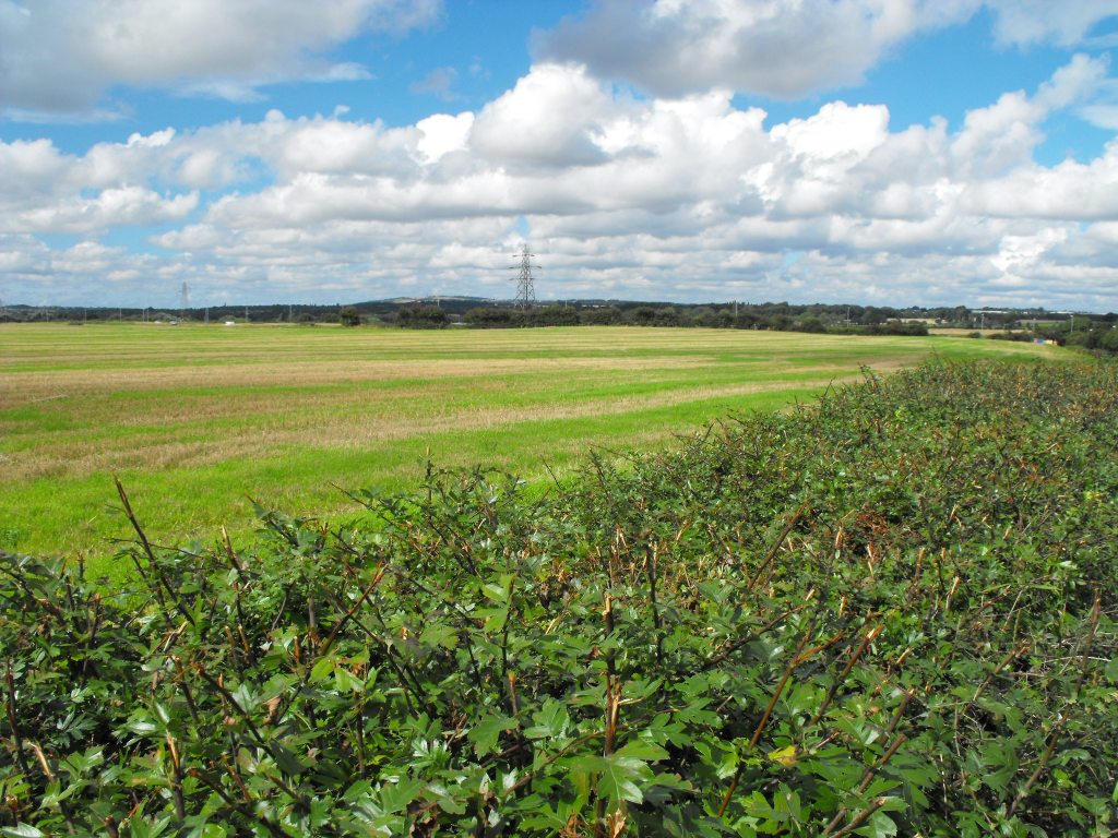
The hamlet of Collins Green may have medieval origins, suggested by the incorporation of ‘green’ into its place name. Originally it was agricultural in nature and characterised by isolated farmsteads, but in the 19th and 20th centuries the wider district largely became an area of mining and industry between Burtonwood and Newton-le-Willows.
Colins Green Colliery
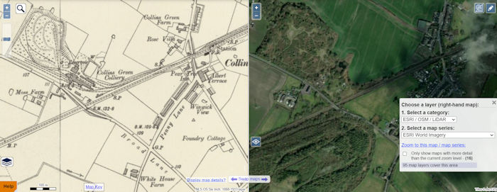
The colliery was closed many years ago, and Collins Green is now a quiet residential area, but in the late 1800s the Collins Green Colliery Company was producing 2,000 tons of coal per day in the area. A report published by Suttonbeauty.org tells us that although an exact date for the sinking of the colliery shafts is unknown, it was put up for sale in 1839 at the Legh Arms in Newton-le-Willows. The low resolution image here from the National Library of Scotland website shows the location of the colliery north west of the Liverpool and Manchester Railway east of Broad Lane. Click the link for a more detailed view which you can scroll and zoom.
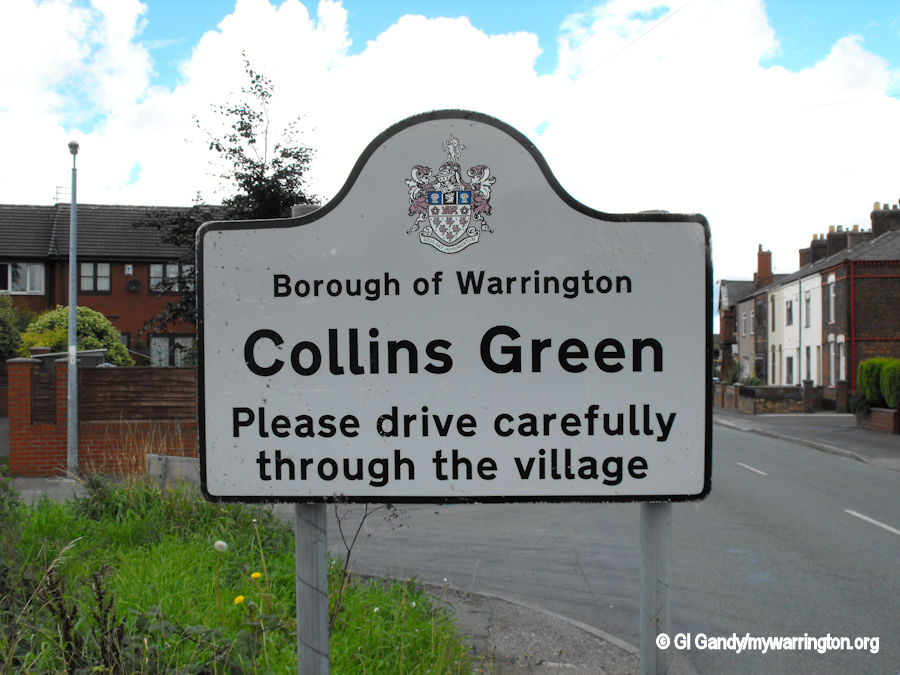
The village of Collins Green is typically of late 19th century to pre-1914 terraced housing. The village had at one time the main post office for the area, with the police station situated nearby in a terraced house in Forshaw’s Lane. Forshaw’s Lane is name after the family who started Burtonwood Brewery in 1867.
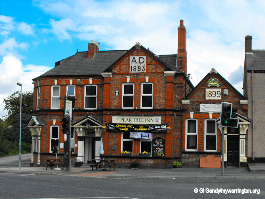
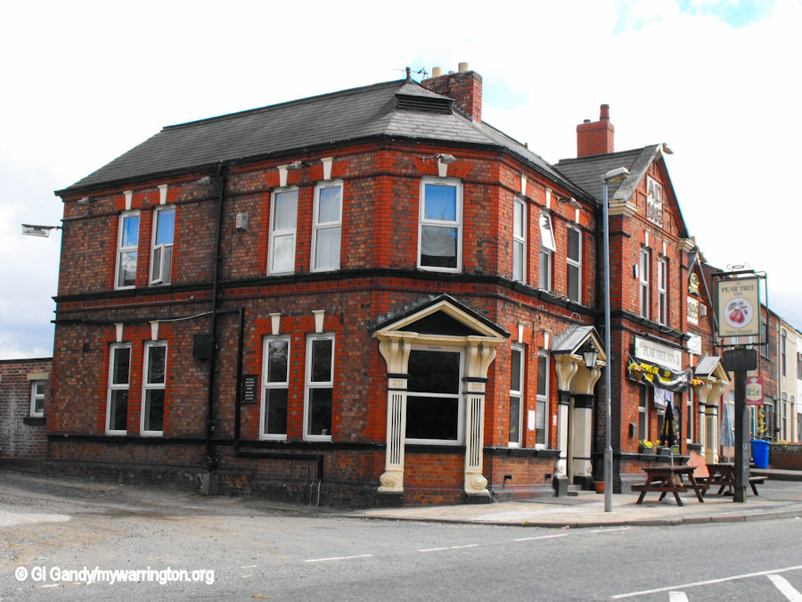
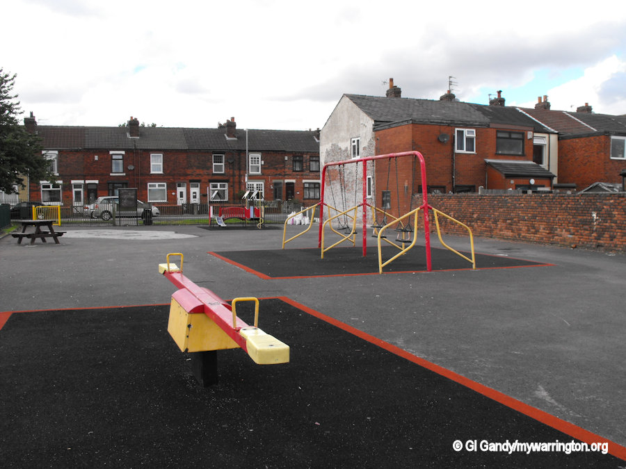
The village includes a children’s play area, a football field and The Pear Tree Inn, built in 1883 and extended in 1899. It is located right next to the approach road of the former Collins Green railway station.
Collins Green Railway Station
The station lay on the L&MR’s line between St Helens Junction and Earlestown stations and was located just east of the point where the railway line passed over Penkford Lane (B5204). A short access road from Penkford Lane links to the main station building on the south side of the line. The station was initially a request stop manned by a railway policeman in charge of the level-crossing. His quarters were in a building north of the line.
The L&MR was absorbed by the Grand Junction Railway on 8 August 1845 and this company became a major component of the London & North Western Railway (L&NWR) on 16 July 1846. During July 1922, most eastbound L&NWR trains stopping at the station on weekdays were local services from St Helens Shaw Street station to Earlestown or Warrington Bank Quay station, but three were through trains from Liverpool Lime Street to Manchester Exchange station.
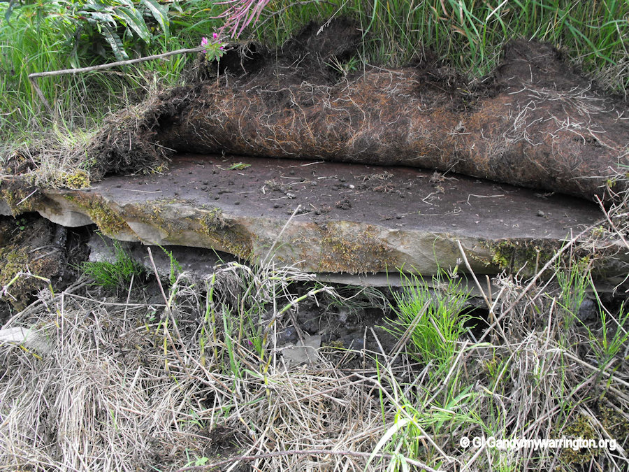
The site of the station platforms.
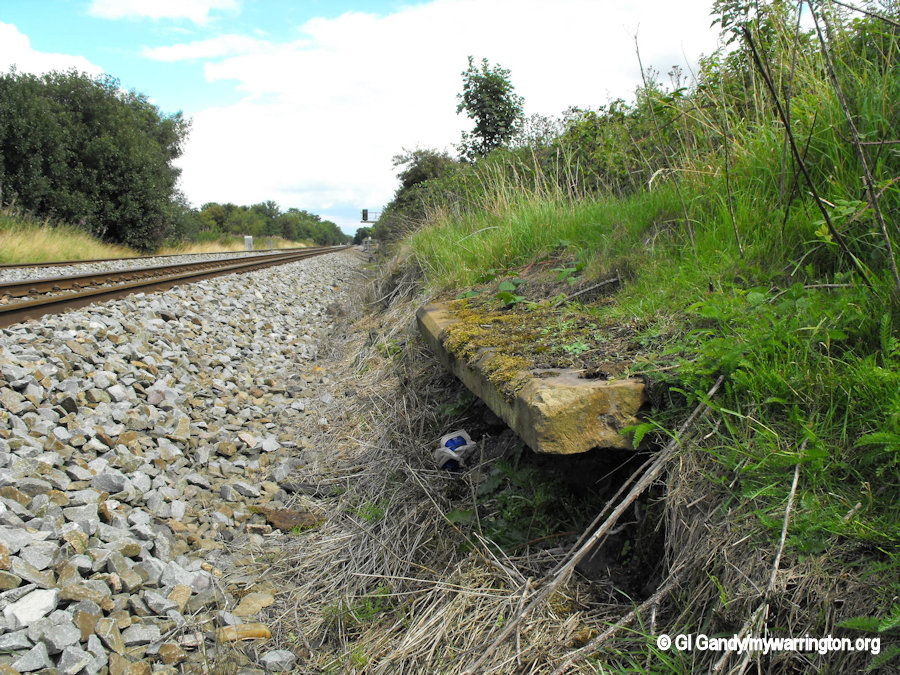
Part of the remains of the westbound platform (also previous photo).
The L&NWR’s passenger and goods traffic from Collins Green was taken over by the London Midland and Scottish Railway (L&MSR) on 1 January 1923. The L&MSR was nationalised within British Railways on 1 January 1948. Collins Green station was closed on 2 April 1951. The site of the station building is now occupied by Superclean Sandblasting. The owner of Superclean Sandblasting informed me the slabs used for the railway platform are made of Yorkshire stone. There are still some visible just over his fence where the original platforms once lay.
My special thanks to Superclean Sandblasting on Collins Green Lane for assistance with access for photographs.
Some information retrieved from Wikipedia.
See also disused-stations.org.uk.
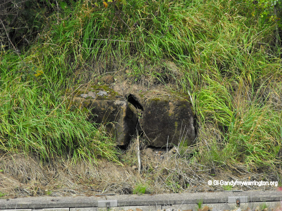
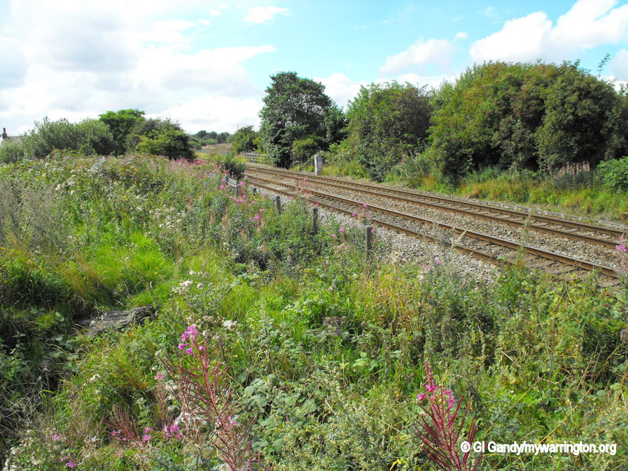
Remains of the eastbound (Manchester) platform.
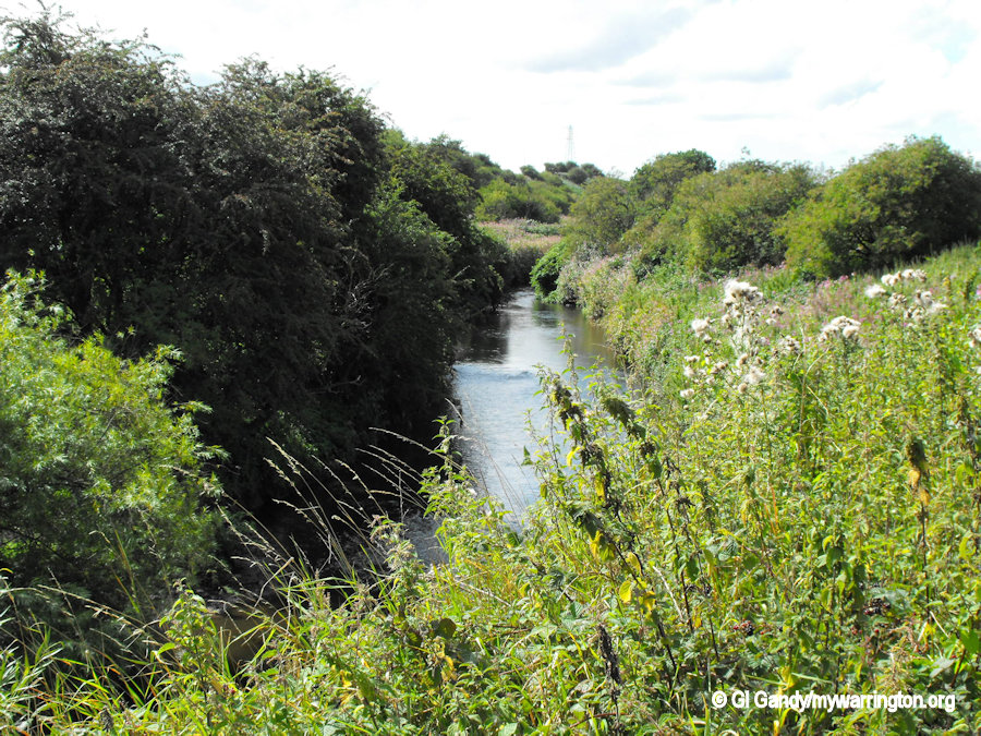
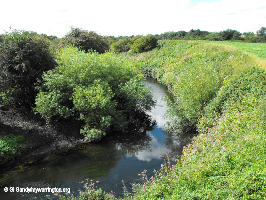
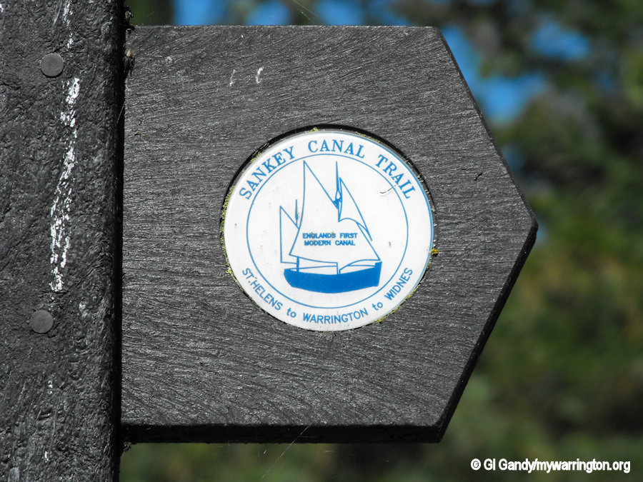
Sankey Brook and Sankey (St Helens) Canal
Running alongside the eastern district of the village is the Sankey Brook, with the Sankey (St Helens) Canal further east.
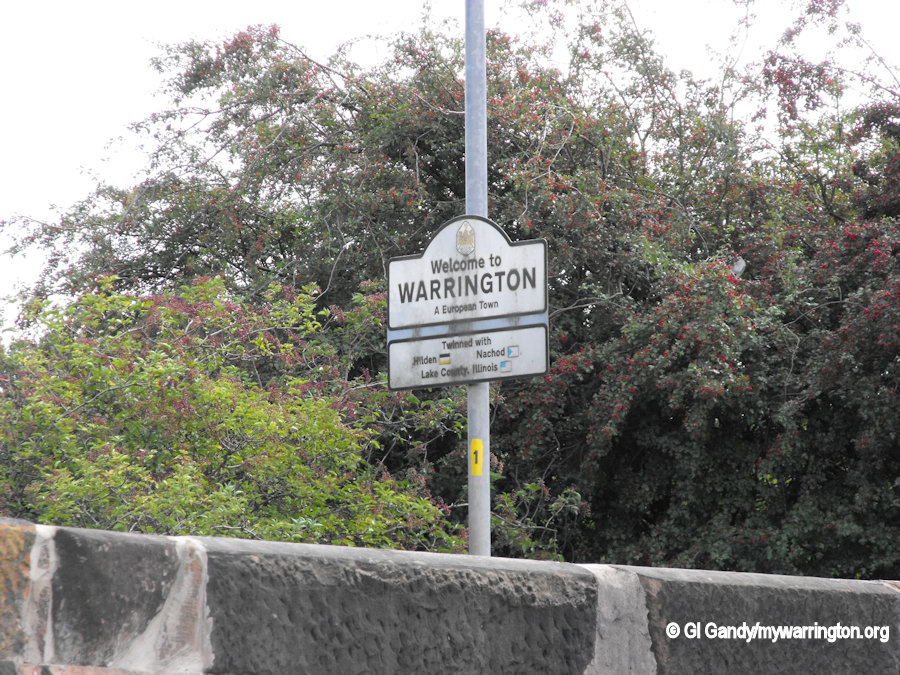
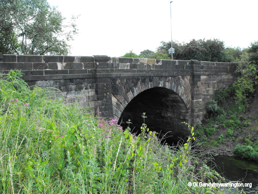
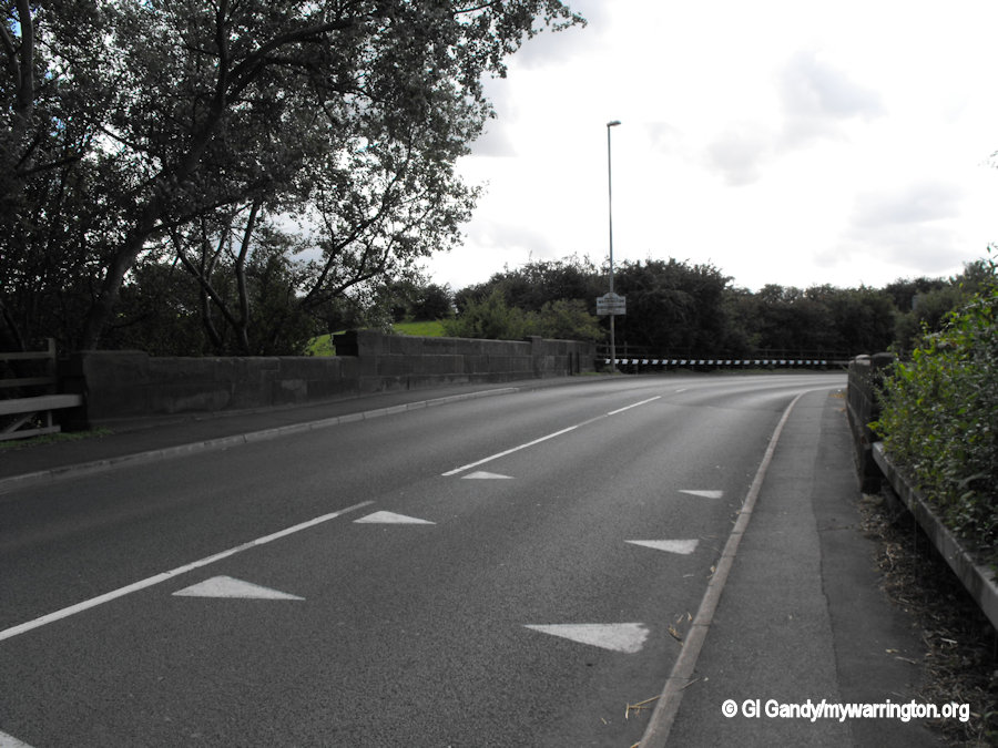
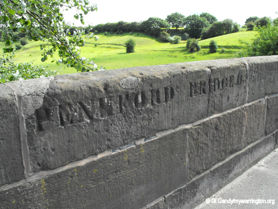
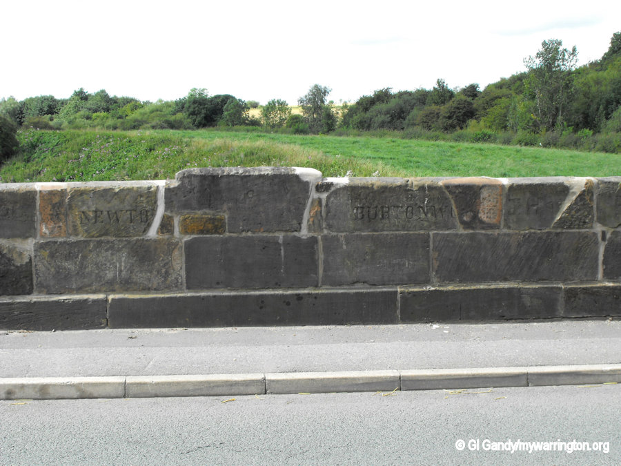
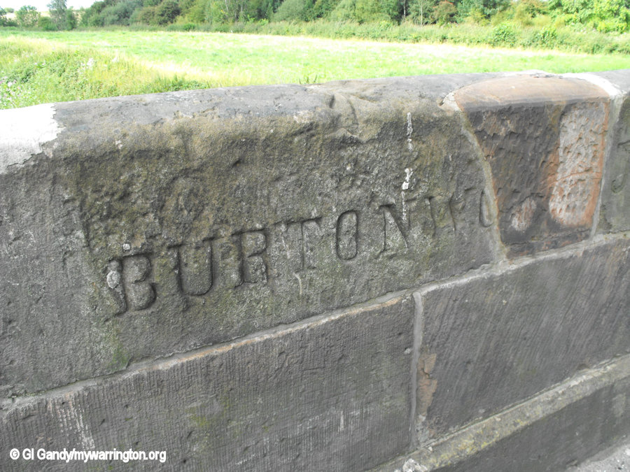
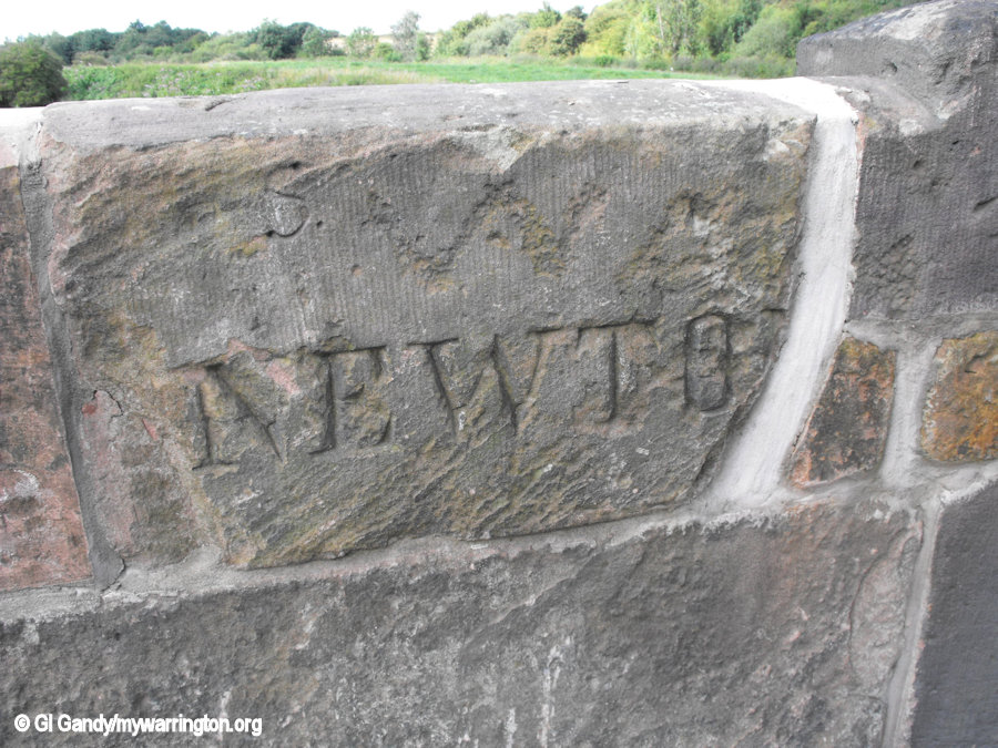
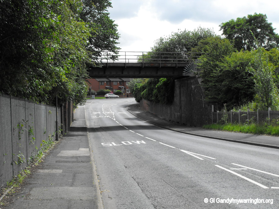
On the boundary with Warrington the Sankey Brook flows beneath Penkford Bridge, not to be confused with Penkford Canal Bridge over the Sankey Canal.
Readers may be aware from the On the Waterfront section that the original plan was to make the Sankey Brook deeper and wider for carrying coal and other materials from Haydock Collieries and Parr to the growing chemical industries of Liverpool.
Instead, three Acts of Parliament authorised a separate waterway to the east of the Sankey Brook. The Sankey Canal opened in 1757 and closed in 1963.
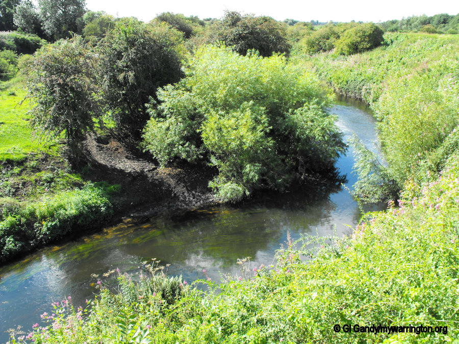
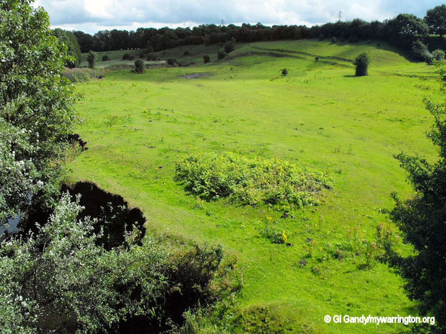
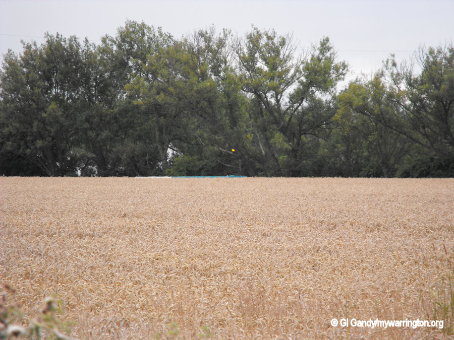
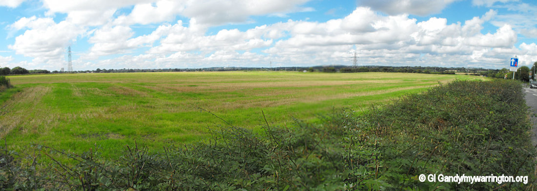
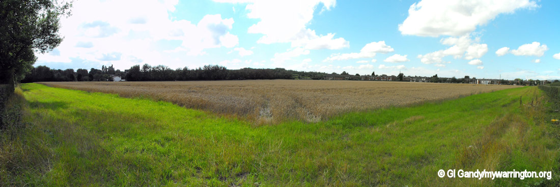
Sankey Brook between Warrington and Newton-le-Willows
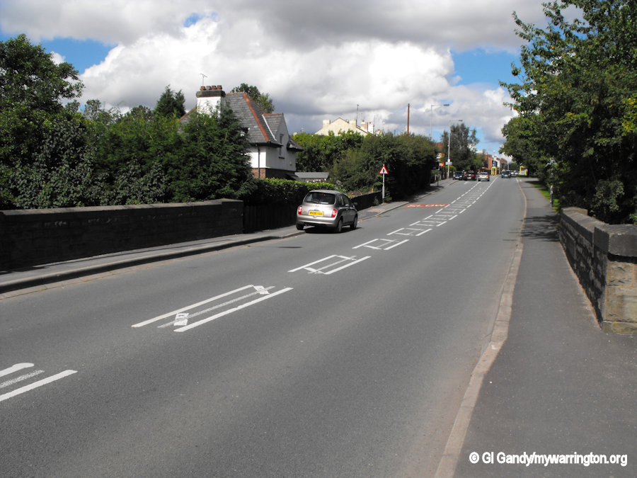
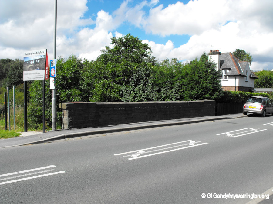
The following two images show the land and the road between the two bridges.
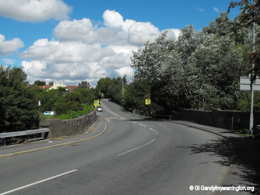
The Sankey (St Helens) Canal flows under the bridge between the yellow road signs and the parked car in the first image above.
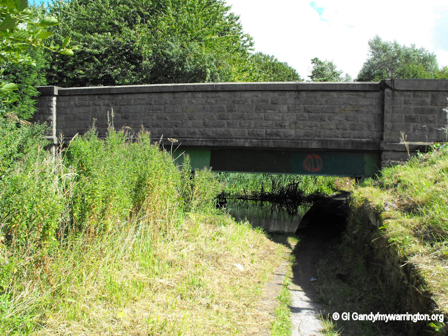
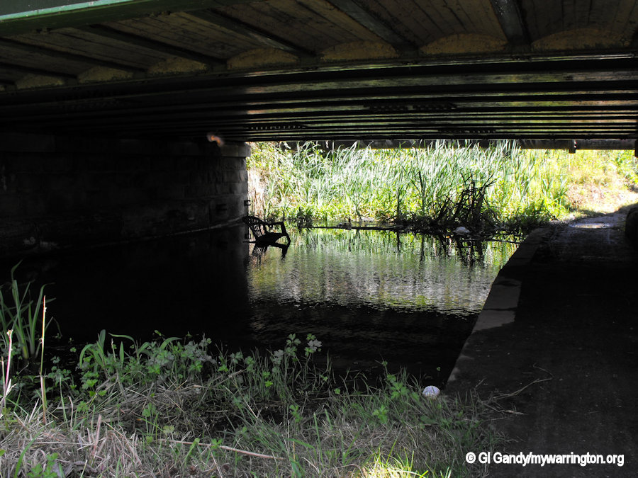
The following images show Sankey Brook and Penkford Bridge.
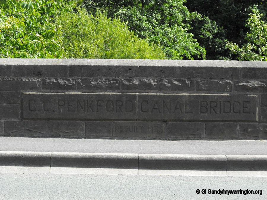
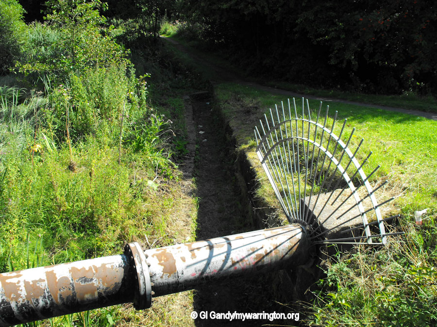
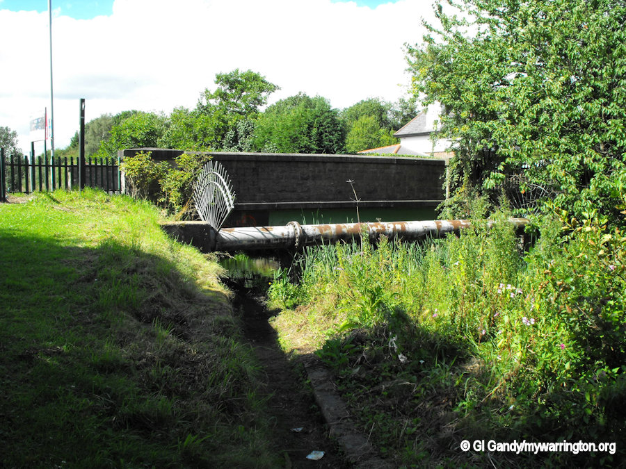
The following images show the remains of the Sankey (St Helens) Canal and Penkford Canal Bridge. The bridge was rebuilt in 1935.
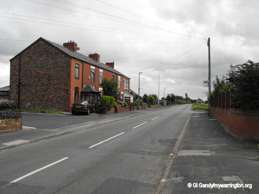
Around the Village
Here is a set of photos showing scenes around the village of Collins Green.
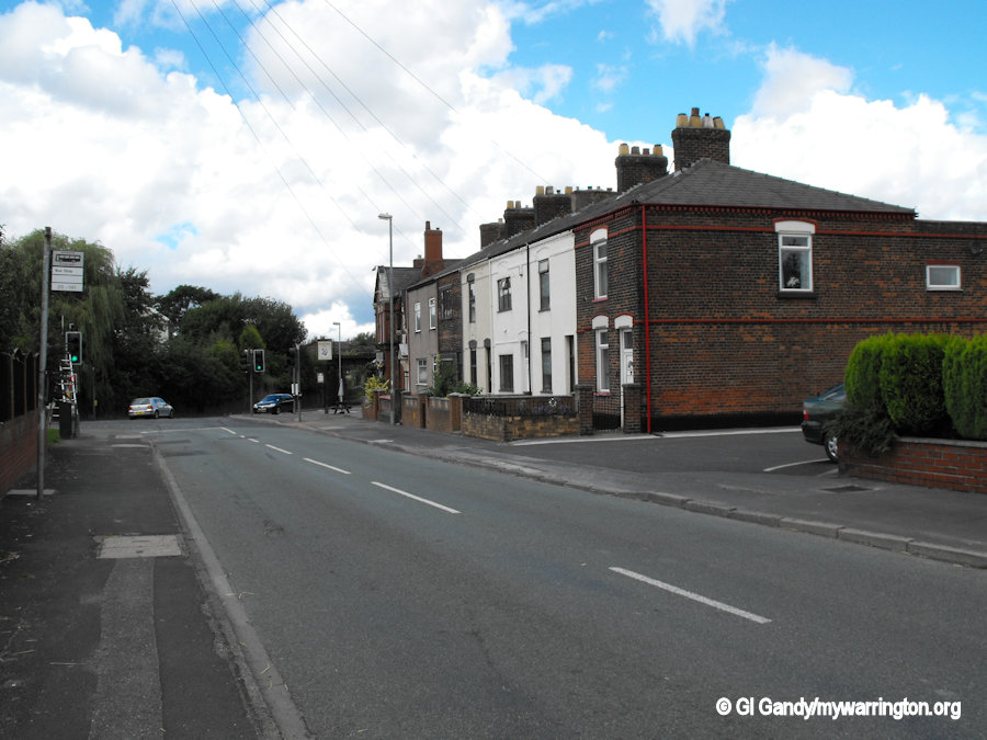
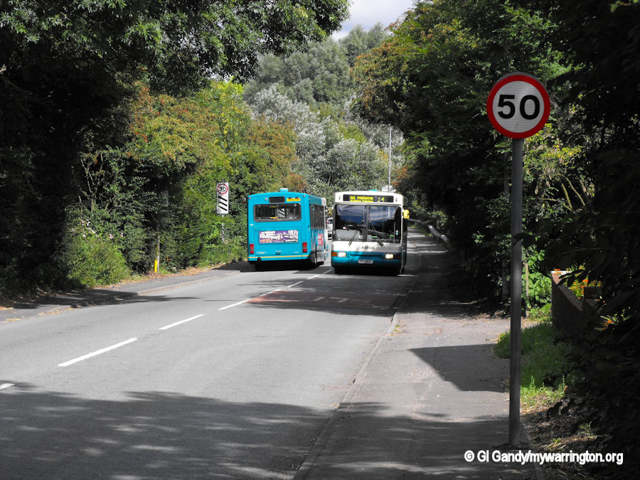
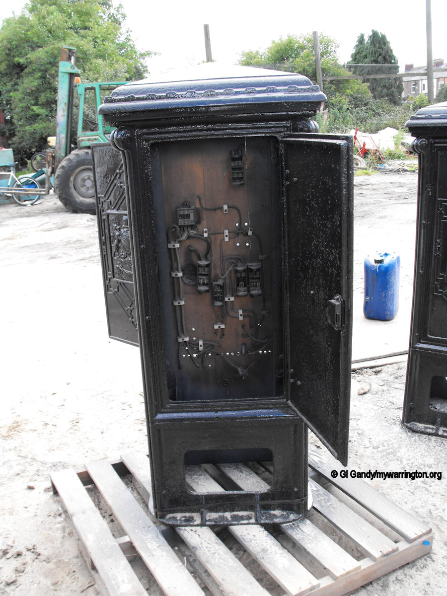
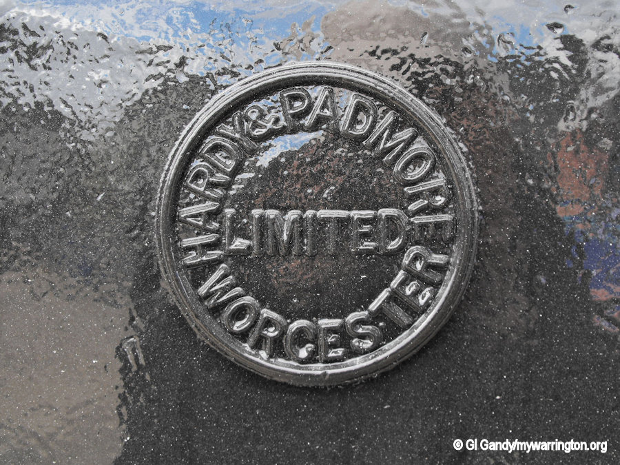
The Arriva bus service 34 runs between St Helens and Leigh via Newton-le-Willows along the A572 north of Collins Green. The electric junction box in the last two images were sandblasted at Superclean Sandblasting on the day of my visit. Hardy and Padmore’s Worcester Foundry was a major English Foundry, set up by when Robert and John Hardy travelled down from Scotland to set up business in Worcester and were joined 15 years later by Richard Padmore who arrived from Shropshire. Over the 155 years of trading they produced many fine castings world Wide. Read about some of their products on the Worcester People and Places website.
During my research I came a cross a memory about Collins Green Farm. The farm building on Penkford Lane was Grade II listed on 4 December 2009. It was built in medieval times and has been remodelled three times since the 17th century.
