

In 1887, John Bartholomew’s Gazetteer of the British Isles described Croft like this:
Croft, hamlet, Winwick par., SW. Lancashire, 3 miles SE. of Newton; P.O.
GB Historical GIS / University of Portsmouth, History of Croft, in Warrington and Lancashire | Map and description, A Vision of Britain through Time.
URL: https://www.visionofbritain.org.uk/place/22746
Date accessed: 12th November 2025
In 1870-72, John Marius Wilson’s Imperial Gazetteer of England and Wales described Southworth like this:
SOUTHWORTH-WITH-CROFT, a parish in Warington district, Lancashire; 1¾ mile SSW of Kenyon-Junction r. station, and 4¼ NE by N of Warrington. It has a post-office, of the name of Croft, under Warrington. Acres, 1,851. Real property, £4,255. Pop., 1,094. Houses, 228. The property is much subdivided. The living is a rectory in the diocese of Chester. Value, £230.* Patron, the Earl of Derby. The church is recent, and has a spire. There are chapels for Independent Methodists and Roman Catholics, and an endowed school.
GB Historical GIS / University of Portsmouth, History of Southworth, in Warrington and Lancashire | Map and description, A Vision of Britain through Time.
URL: https://www.visionofbritain.org.uk/place/10064
Date accessed: 12th November 2025
Introduction
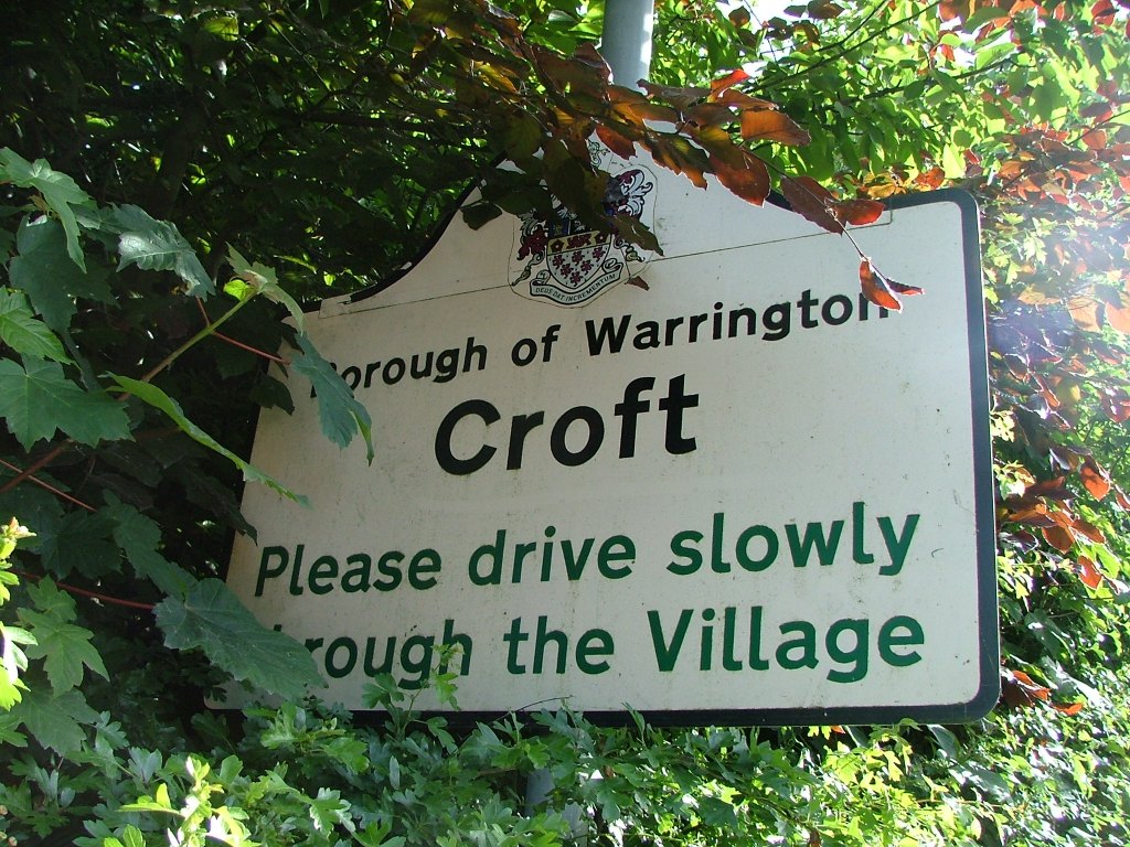
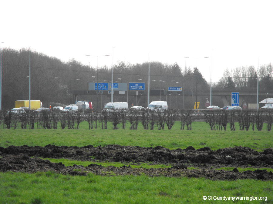
Croft is a rural village and civil parish in north east Warrington, between Winwick and Culcheth. The nearby motorway intersection of the M6 and M62 is known as Croft Interchange. According to the 2021 Census, it has a population of 2,848; in 1901 it was 970. Bronze age pottery discovered at Croft suggests the area was inhabited 4,000 years ago.
The Name
Earlier names for Croft: Suthewrthe, 1212; Sotheworth, 1293; Suthworth, 1306; Croft, 1212.
The name Southworth comes from two Old English words “sup” meaning “south”, and “worp” meaning “homestead” or “enclosure”. The settlement was known as Southworth with Croft.
Croft comes from Old English and means “a small piece of arable land, a field”.
The reason for the name Southworth-with-Croft is due to two manors called Southworth and Croft.
The british-history.ac.uk goes on to say Croft, the eastern portion of the township, has the larger area, 1,364 acres, and was frequently placed first; but the only hall was in Southworth, which contains 519½ acres. There is now no defined boundary between the two.
In the Winwick registers of 3 February 1683–4, there is a certificate signed by Dr. Sherlock, rector, for Henry son of Ralph Bate of Croft, ‘who had the evil and was touched by his majesty.’
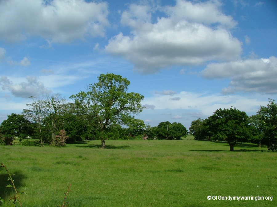
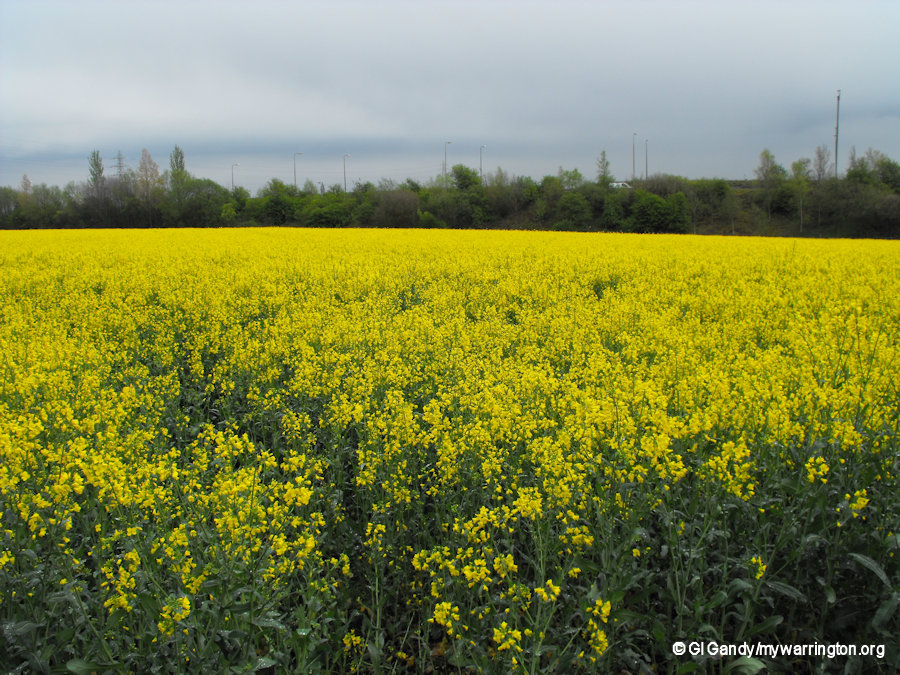
The countryside is mostly flat, with slight irregularities of surface in places, traversed by fairly good roads and covered with open fields, under mixed cultivation, alternating with pastures. The crops principally grown are potatoes, oats and wheat, in a loamy soil (a fertile soil of clay and sand containing humus). The Pebble Beds of the Bunter Series of the New Red Sandstone are everywhere in evidence.
There were many small freeholders and the parish council still serves the village to this day. A school board was formed in 1875.

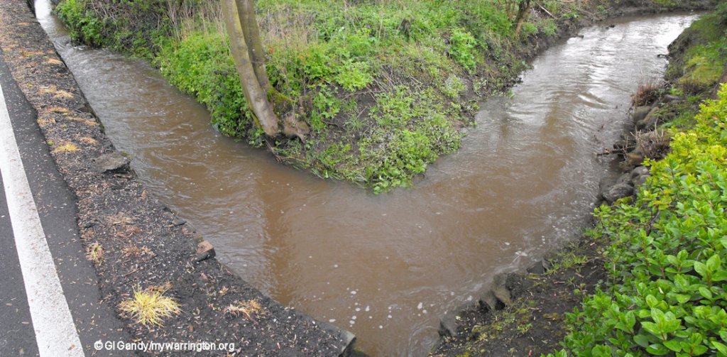
A brook on the east and south of Croft affords a natural boundary, except that a portion to the south of the brook, reclaimed from the moss, has been added to Croft. The total area is 1,883½ acres.
Manors
Of the two manors, Southworth and Croft, held by different tenures of the lords of Makerfield, the latter appears to have been the more important, as it gave its name to the lord, who in 1212 was Gilbert de Croft.
Sometime prior to 1219, Gilbert de Croft, who also held the manor of Dalton in Kendal, granted Southworth to Gilbert son of Hugh de Croft, who took the local surname and therefore the founder of the Southworth family, which held the manors of Southworth and Croft until the beginning of the 17th century. Sir Thomas Ireland of Bewsey purchased Southworth and Croft in 1621.
A century later the manor was held by the Gerards of Ince, and bequeathed in 1743 by Richard Gerard to his brother Thomas, a Jesuit priest.
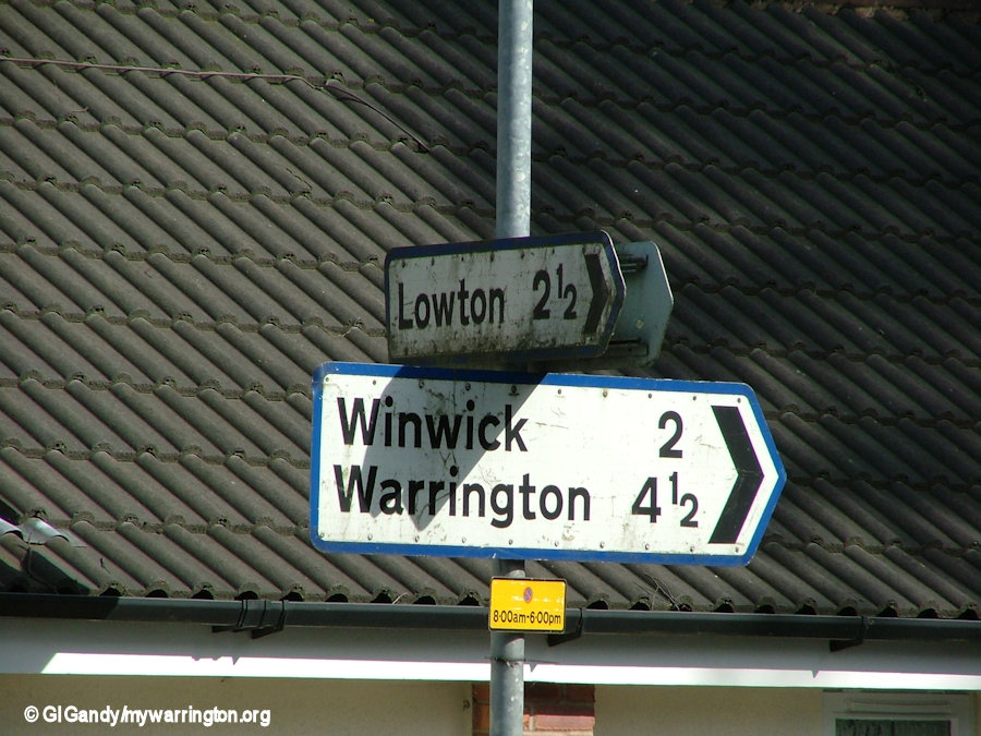
The road signs show the distance from local towns and villages
The manor was next sold to Thomas Claughton of Haydock in about 1820, but three years later it was sold again to Edward Greenall of Warrington. His granddaughter Elizabeth, Lady Shiffner, sold it to Samuel Brooks, the banker, after whose death it passed to a younger son Thomas.
For a more detailed study, see the british-history.ac.uk website.
Around the Village
Churches
Christ Church, Croft
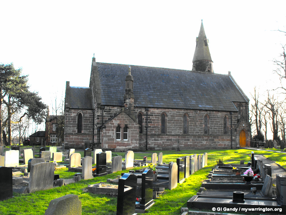
The church is located on Lady Lane, Croft and opened in 1883. It is an Anglican parish church in the deanery of Winwick, the archdeaconry of Warrington, and the diocese of Liverpool. Its benefice is united with that of Newchurch.
The church has been designated by English Heritage as a Grade II listed building. It was a Commissioners’ church, having received a grant towards its construction from the Church Building Commission.
Christ Church is constructed in red sandstone with a slate roof.
Its plan consists of a five-bay nave, a short chancel, and a steeple at the south-west corner. The tower is square with angle buttresses, a doorway on the east side, lancet windows on the south and west faces, and bell openings consisting of twin louvred lancets. The summit of the tower broaches into a hexagonal drum with louvred lucarnes, above which is the spire, also containing lucarnes. In architecture, a lucarne is a window or opening high up on an outside wall supporting a hoist above doors on the floors below. All the windows in the church are lancets.
Inside the church is a small west gallery. Also present are panels inscribed with the Creed, the Ten Commandments, and the Lord’s Prayer. The reredos is in coloured marble and Caen stone. The stained glass in the east window is by Mayer of Munich. It depicts the Good Shepherd flanked by Saint Peter and Saint Paul. The other windows are by Shrigley and Hunt.
From Wikipedia.
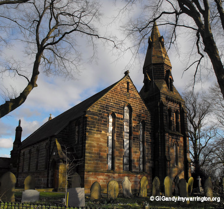
Christ Church, Lady Lane, Croft (7 March 2012)
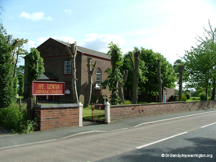
St Lewis Catholic Church
The land for the church building was secured in 1825 for a price of £765.
The church, opened on 26 May 1827 on Mustard Lane.
For a more detailed history see the church’s website.
Community facilities
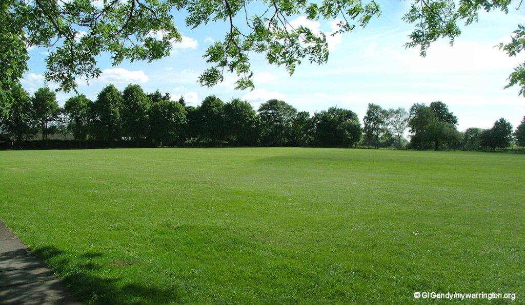
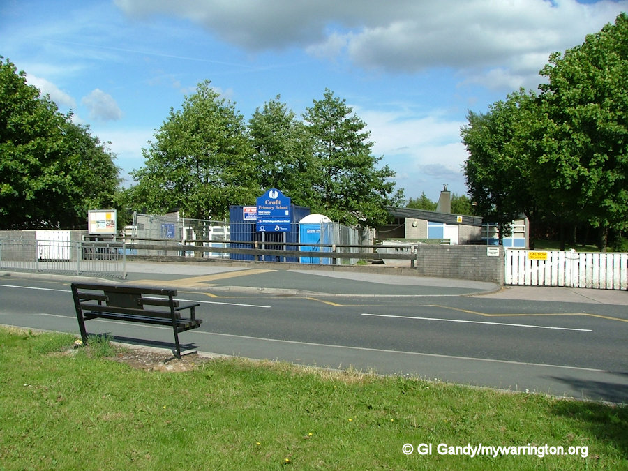
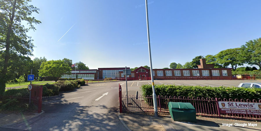
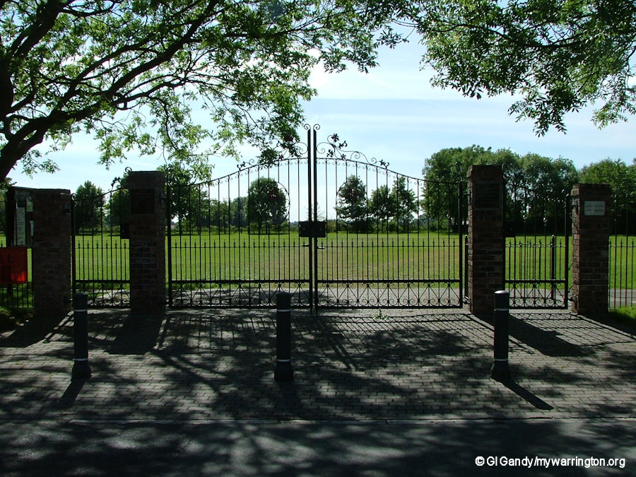
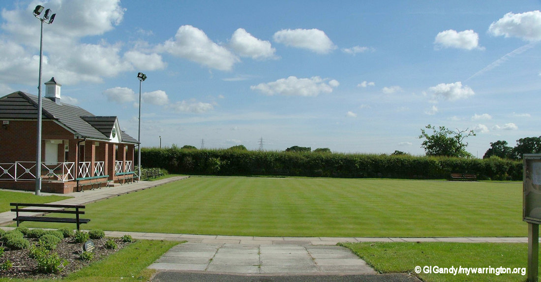
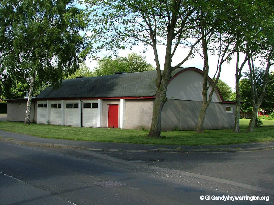
There are two primary schools (St Lewis’s Catholic Primary and Croft Primary) and a large playing field with a children’s play area (the village green). Close by are the areas of Little Town, Croft Heath and Wigshaw. Other facilities include a youth centre, horse riding, a golf range, a bowling green and a hairdressers.
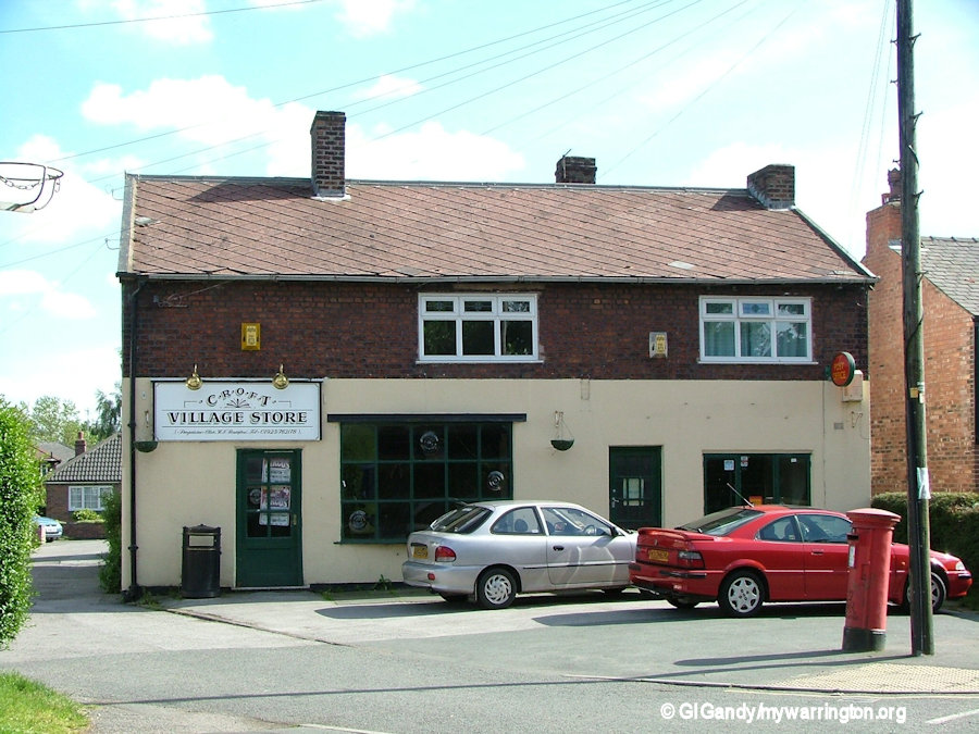
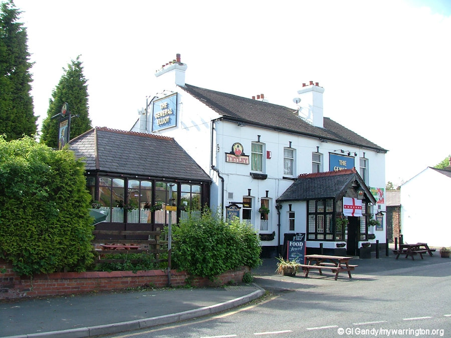
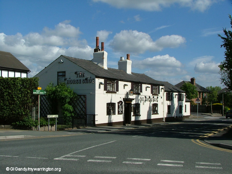
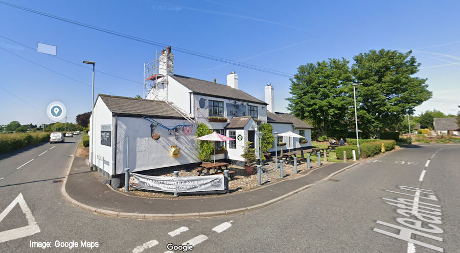
The foundation stone for Croft Memorial Hall was laid by Joseph E. Birchall on 26 April 1965. The Horse Shoe pub is in the centre of the village, with The General Elliot, dating back to at least 1824, on Lord Street on the western edge of the village. This is the area described as Croft Heath on the maps. A third pub, the Plough Inn, is located along Heath Lane. The village no longer has a post office – this closed in 2004 and was converted into a private house.
The village is served by the No. 19 Warrington’s Own Buses service.
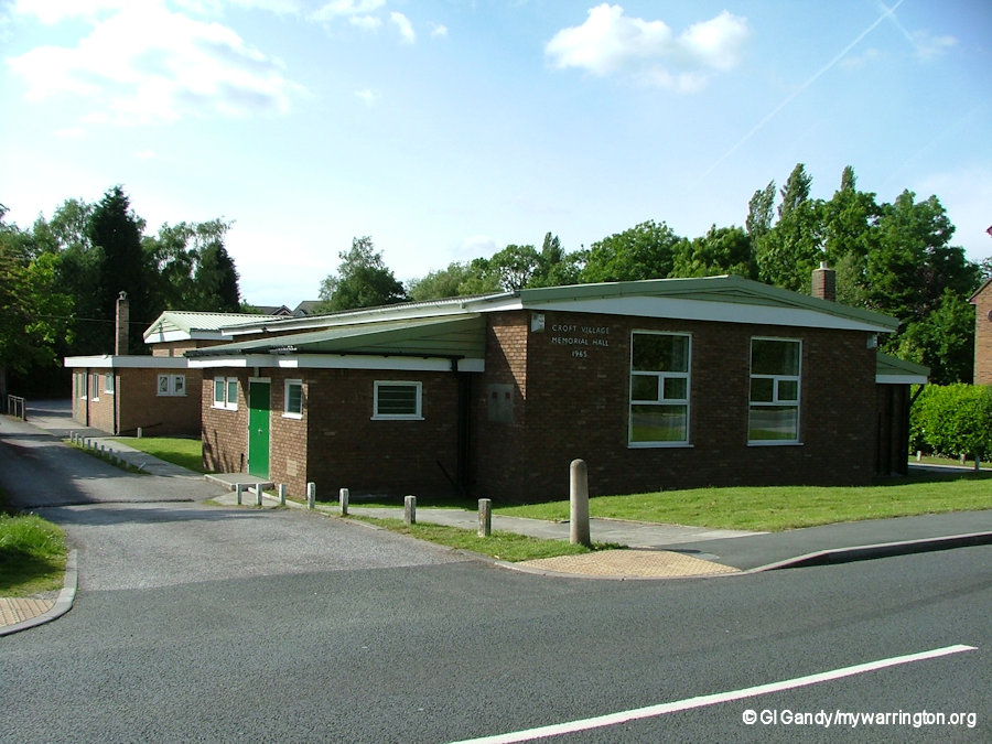
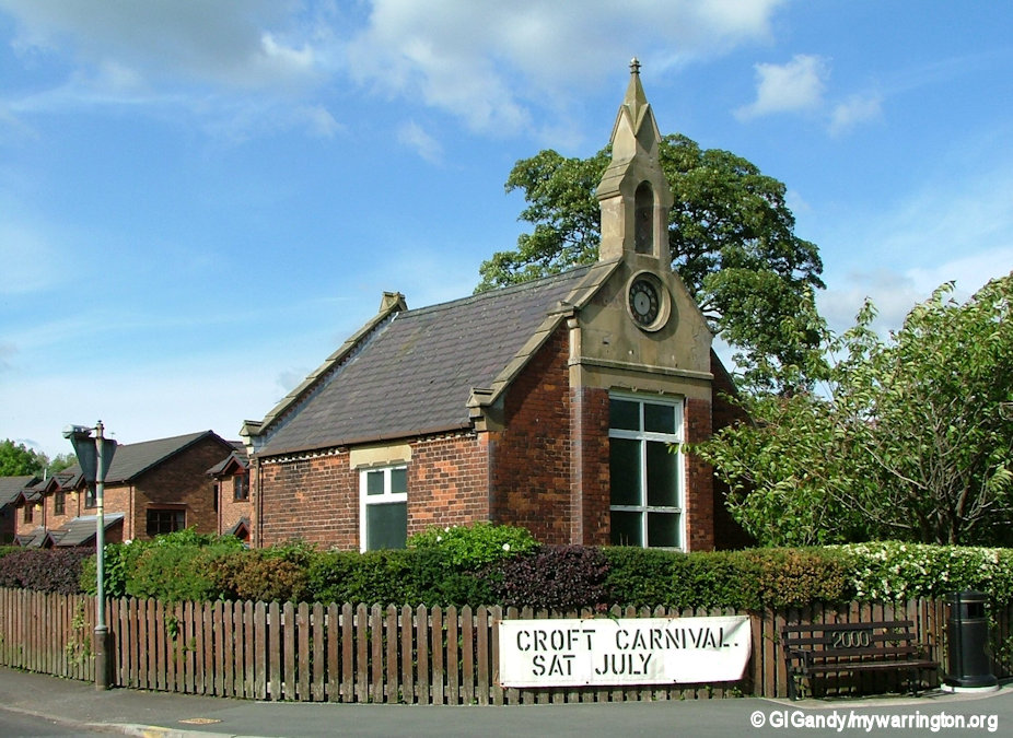
Croft Memorial Hall
HMS Ariel / RAF Croft
Also in the area was the lesser-known airbase in north-east Warrington called HMS Aeriel, also known as RAF Croft. The Burtonwood Association have a section about it on their website.
I visited the site in March 2012 after hearing the site had been sold to a developer to build houses.
The housebuilding project has since taken place and is on Emerald Drive close to Croft Cats Cattery and Kelly’s Kennels off Lady Lane.
Link also here drelictplaces.co.uk for more photos.
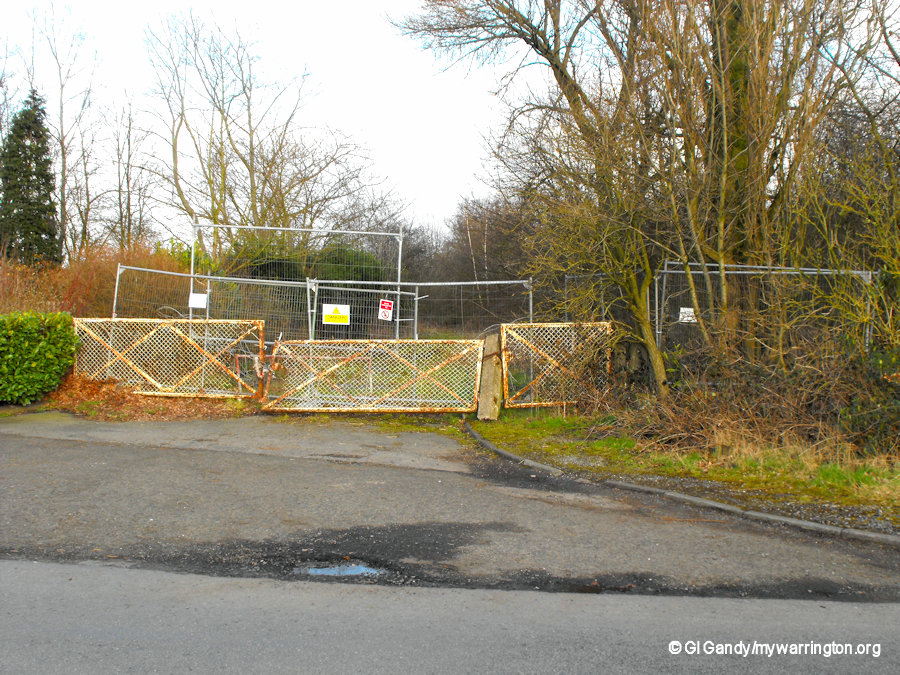
HMS Aeriel/RAF Croft entrance, now occupied by housing.
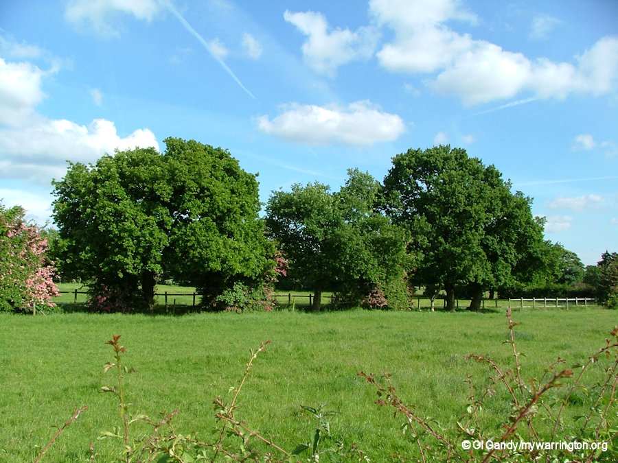
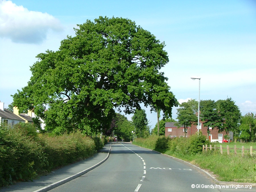
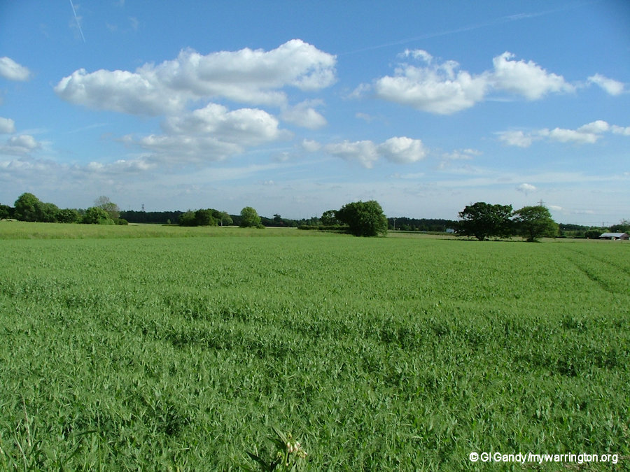
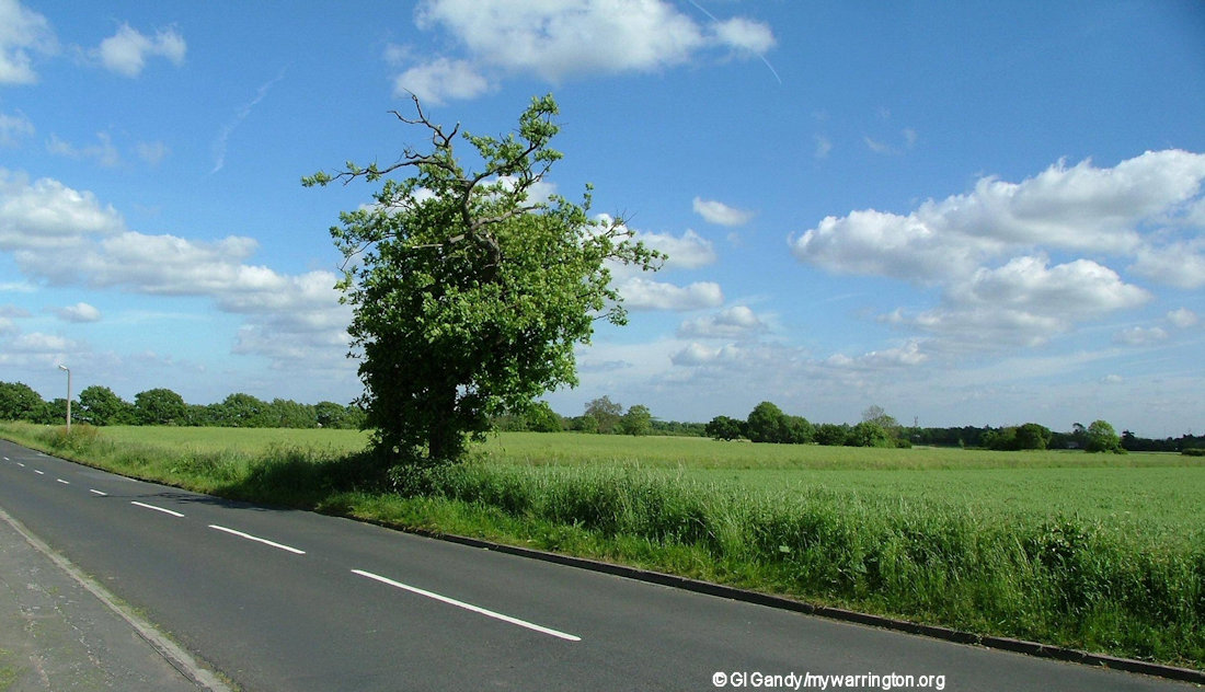
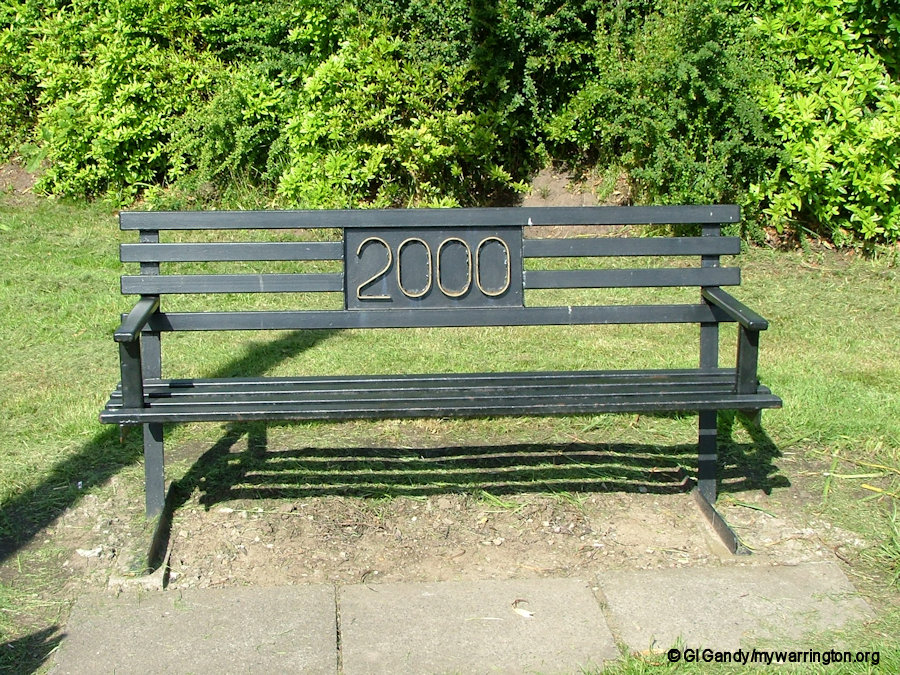
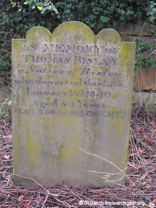
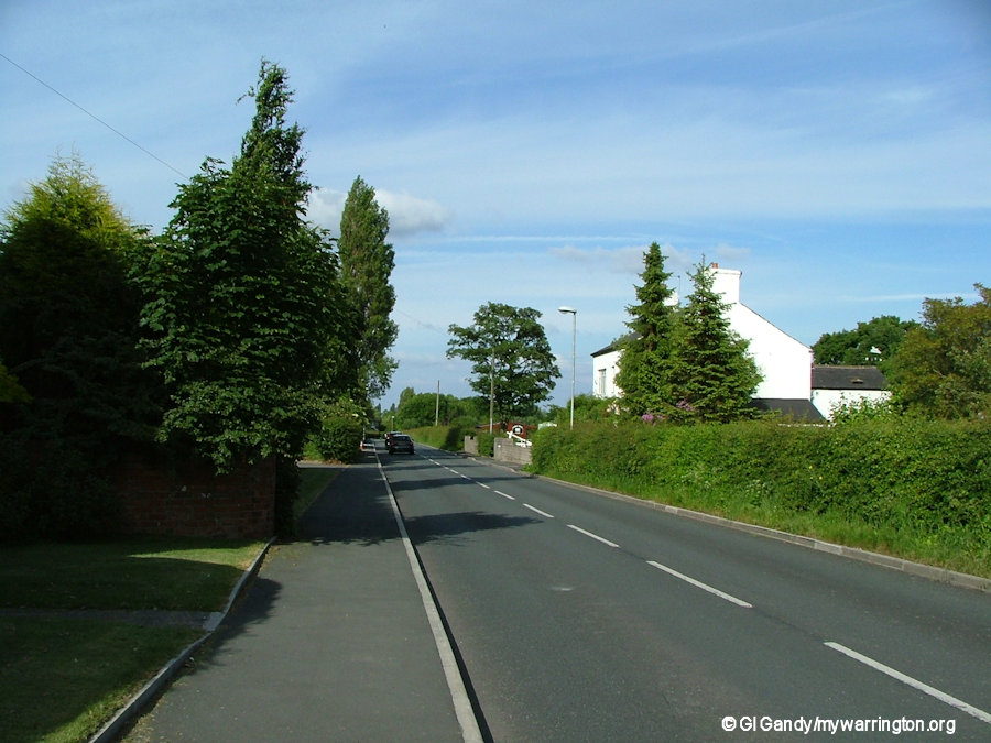
The village in photographs
(View as a manual slideshow for descriptions)
Further reading
Mark Olly’s book Celtic Warrington and Other Mysteries, Book 1 North to East shows photos of the excavation of the Southworth Hall site.
