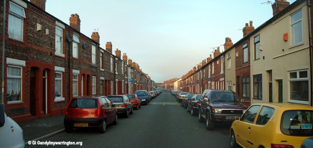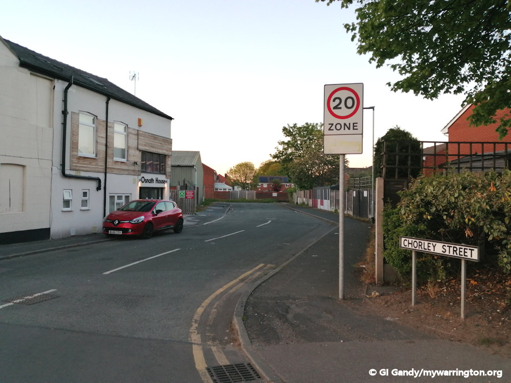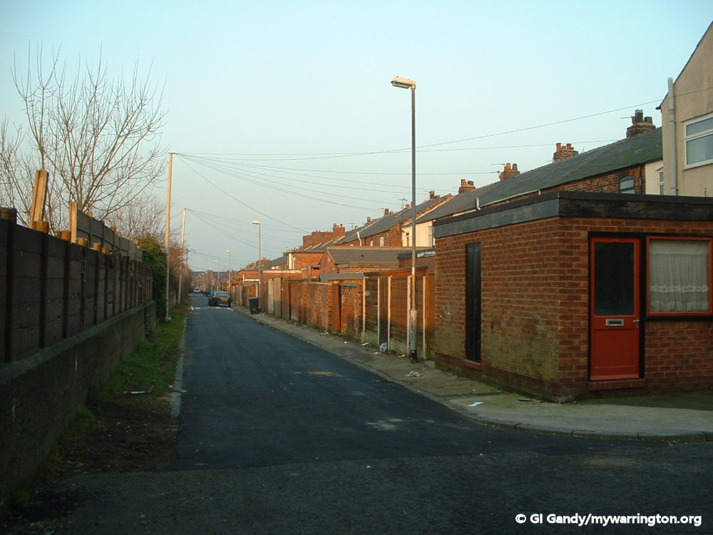
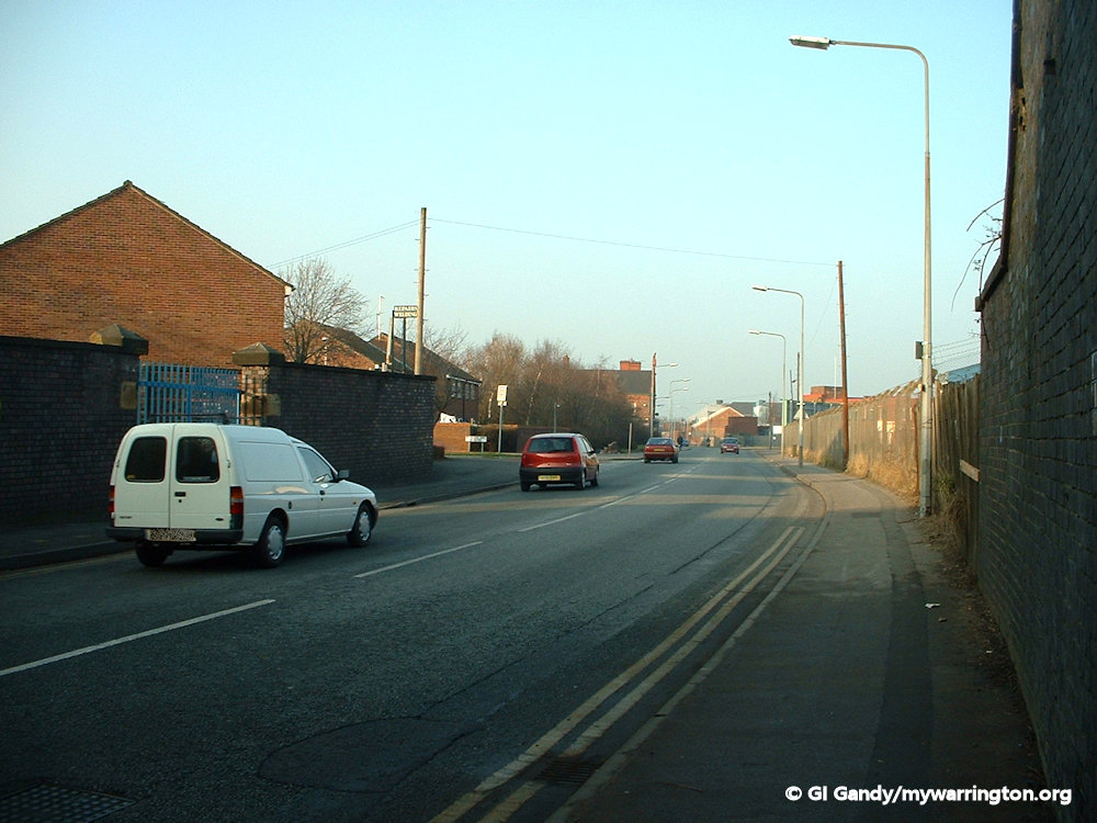
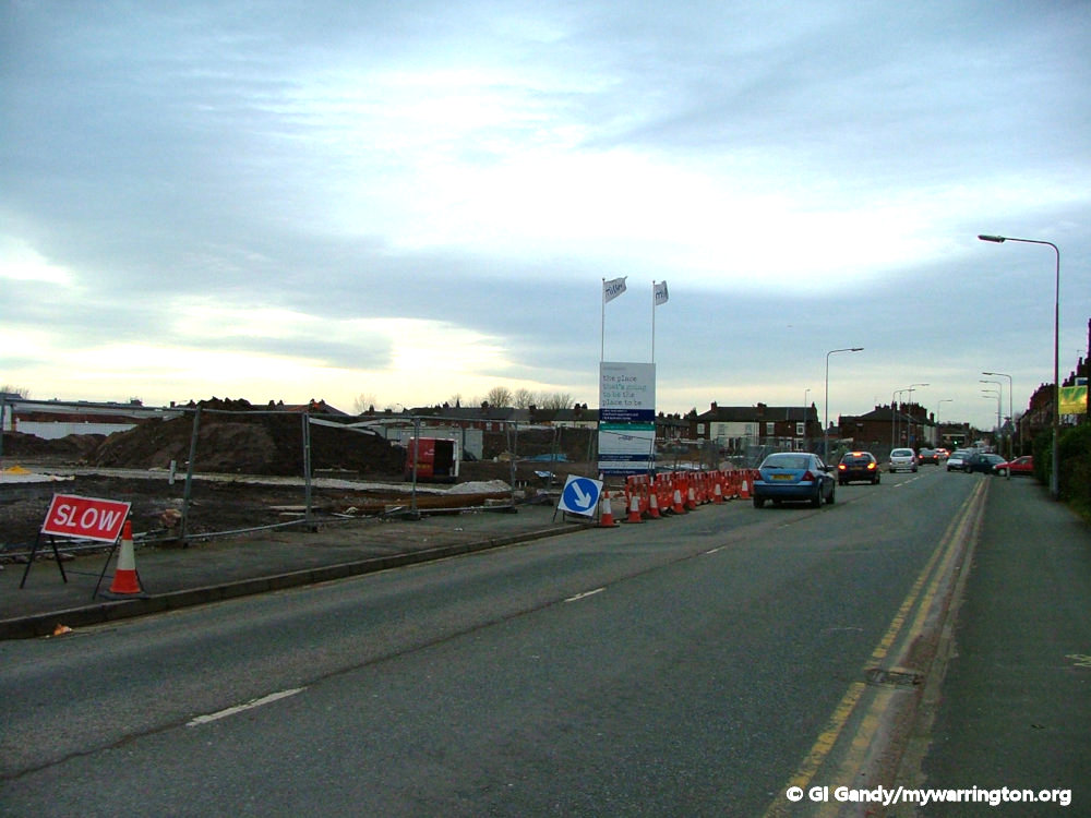
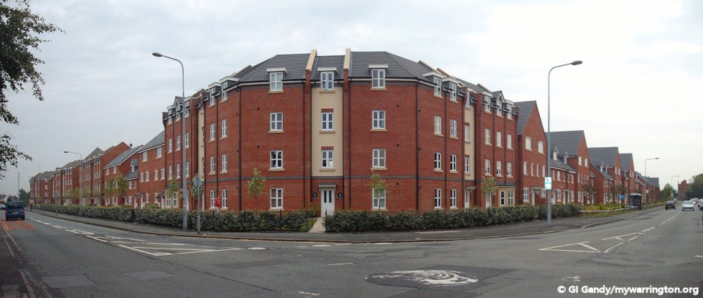
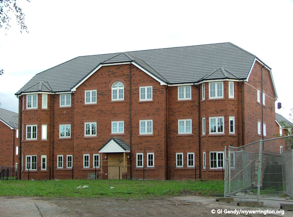
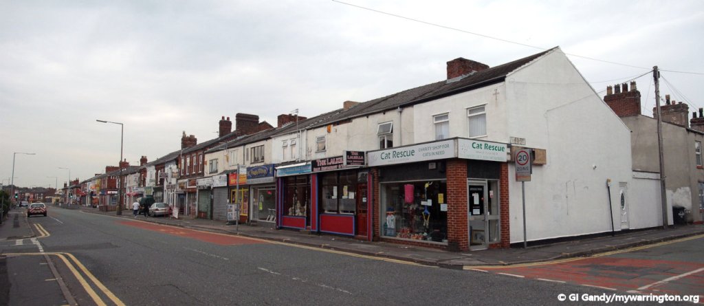
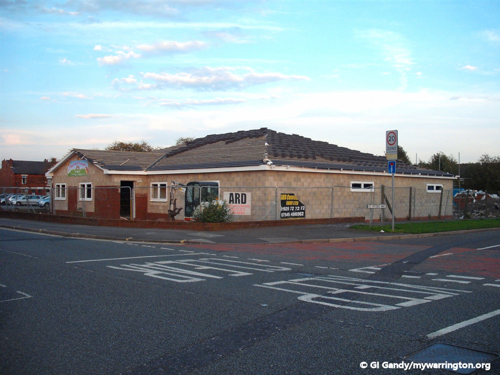
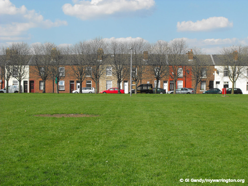
St Peter’s Way is a 1970s housing estate built over the original St Peter’s Place, Birchall Street, Margaret Street, Hamilton Street and Chorley Street. My old house on St Peter’s Place was located on the site of the houses to the left of the white car.
Introduction
Fairfield has been an electoral division of Warrington since 1890 and is part of the Fairfield and Howley ward for local election purposes. Generally, the boundary between Fairfield and Howley is Church Street/Manchester Road. However I should point out that the OS 25 inch map for 1892-1914 has Fairfield Ward written right over Warrington Cemetery, so I will go with that and include notes on the cemetery here.
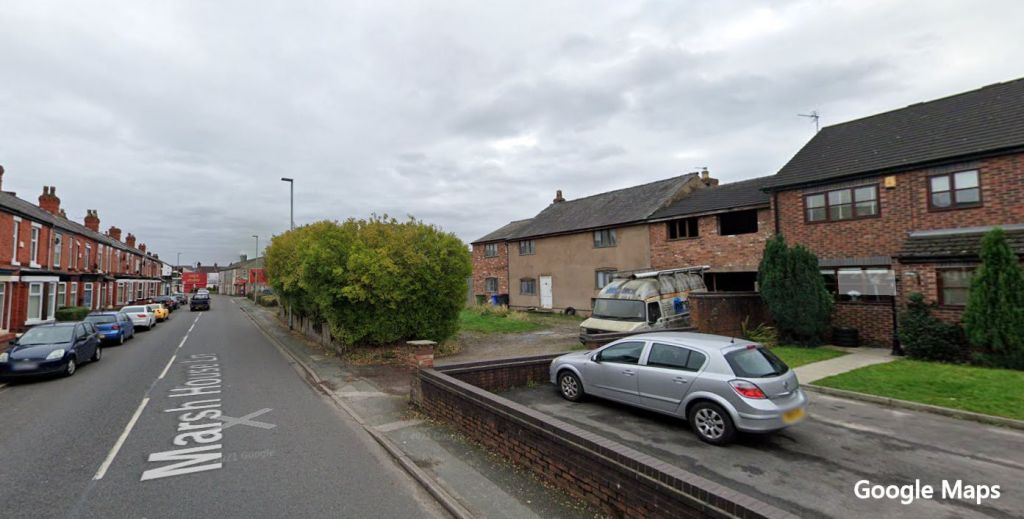
On the opposite (western) side the boundary with Orford is Longford Street, Orford Lane, Marsh House Lane and Padgate Lane. Padgate Brook is the boundary on the eastern side by Bruche with Midland Way and Fennel Street on the south and west.
I was born in the district and lived there until I was nine years old. The school photo of me was taken a year before I moved away from the area.

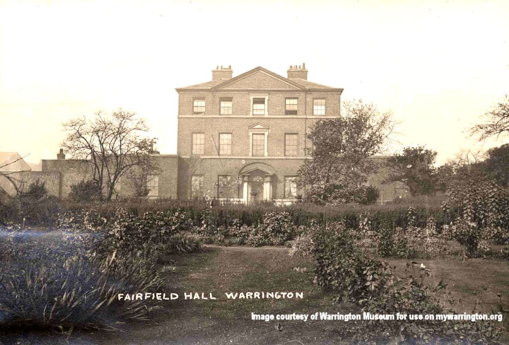
Fairfield Hall
Fairfield Hall was located at the junction of Fairfield Street and Manchester Road (Manchester Lane on the 1844 Ordnance Survey map). The house was set back from the road.In fact, Manchester Road is to the left of the hall as we look.
The hall was the home to Miss Anna Blackburne and was used to house her ornithological specimens and objects. She was the only daughter of John Blackburne of Orford Hall who built Fairfield Hall for her. Read her profile in Warrington People.
Following the death of Anna Blackburne, Reverend Edward Lloyd used the property as a place to educate the upper classes. In 1844, the hall then became home to John Fitchett Marsh, who was later the first town clerk of Warrington.
Towards the end of the 19th century, the building was rented to Warrington Training College as accommodation. The hall was demolished in 1935 due to its deteriorating condition and the cost of restoration.
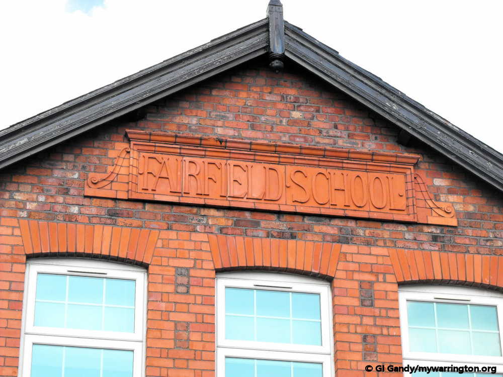
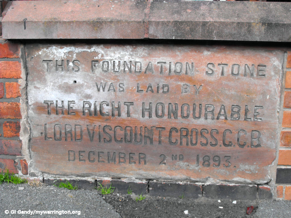
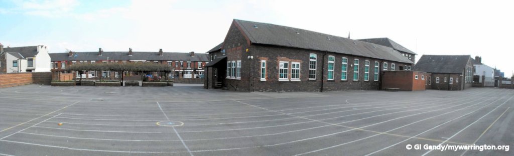
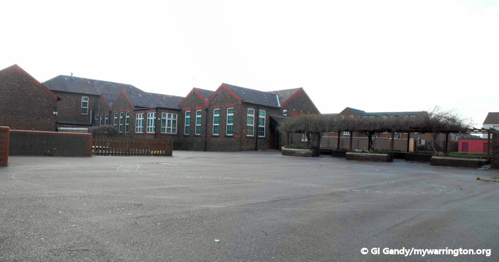
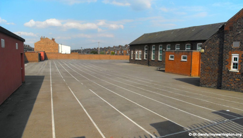
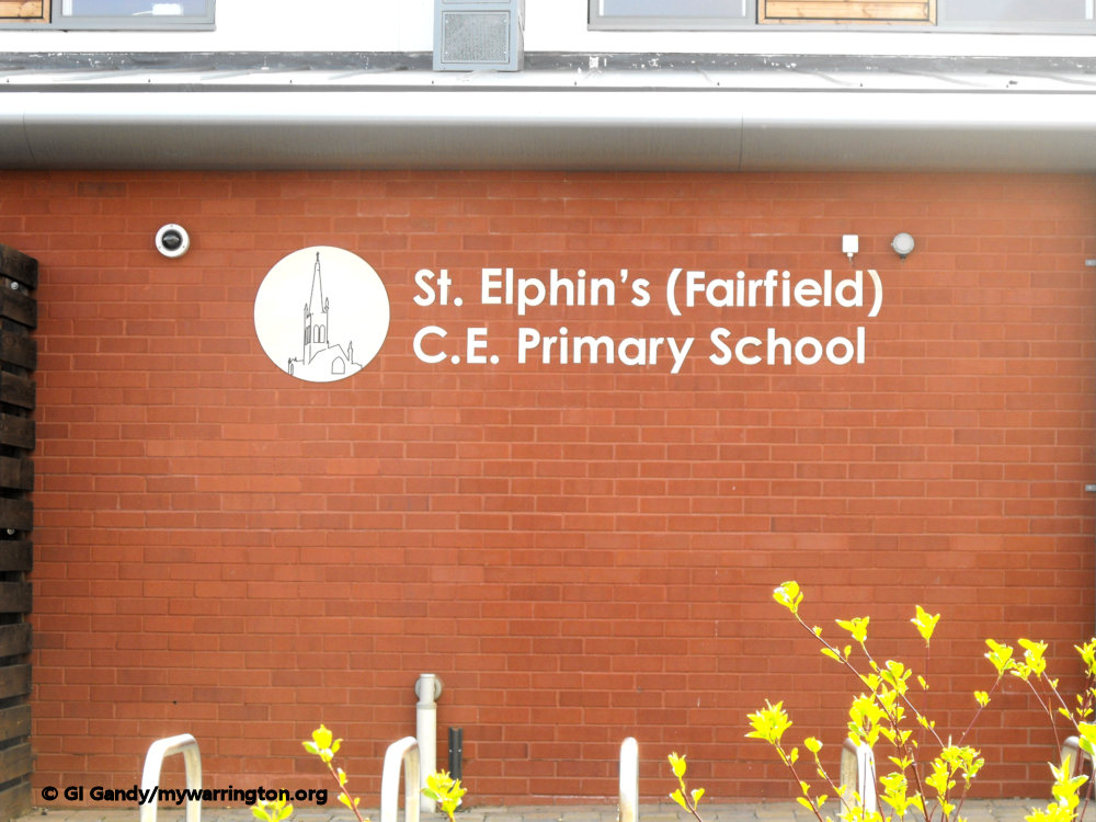
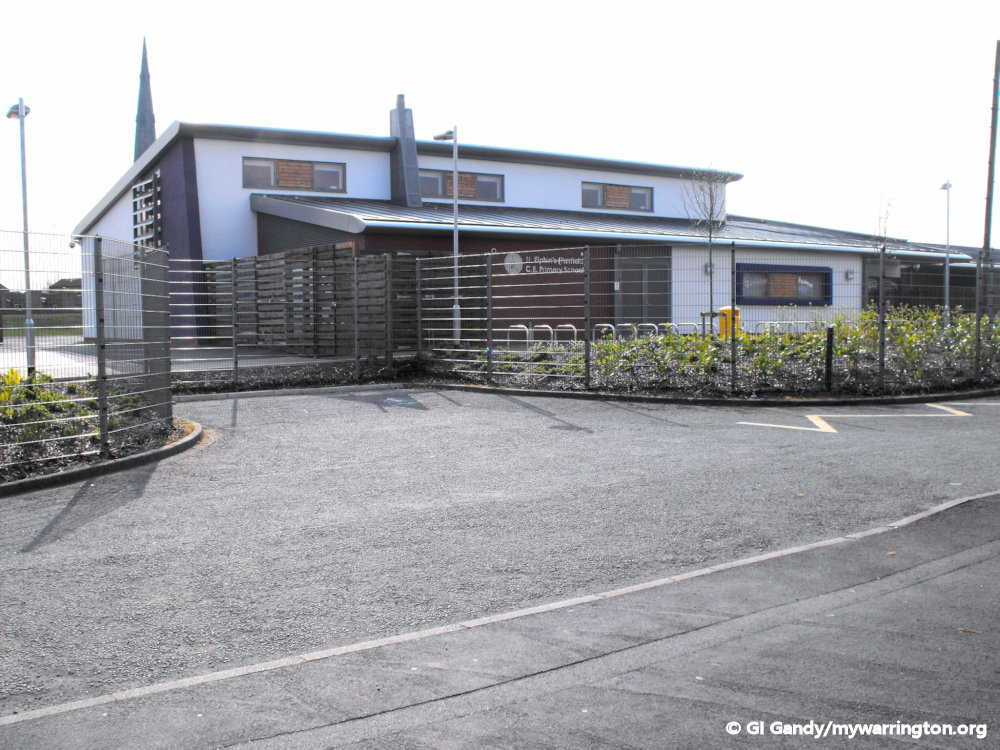
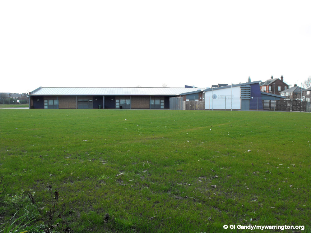
Fairfield School
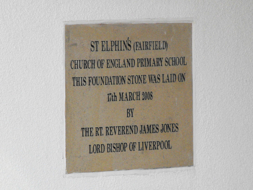
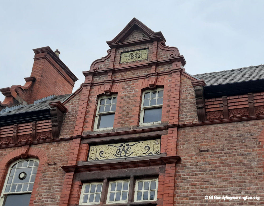
The first Fairfield School building still stands on Fairfield Street opposite to where Fairfield Hall once stood. A new school was built in 2008 on land beside St Elphin’s Park. The foundation stone for the original school building was laid on 2 December 1893, and the building is still in use by various community groups.
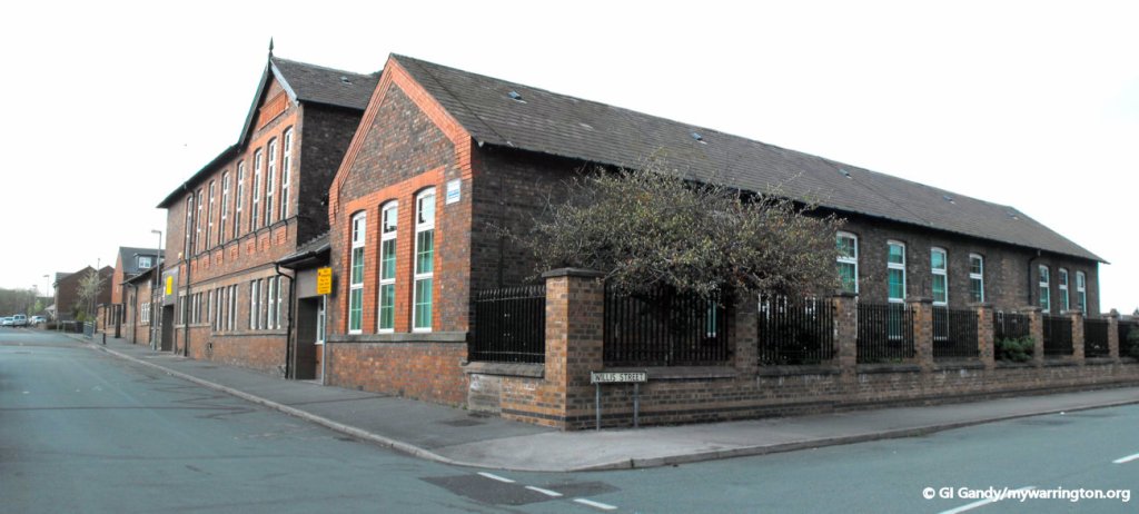
Hamilton Street School
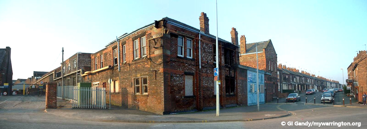
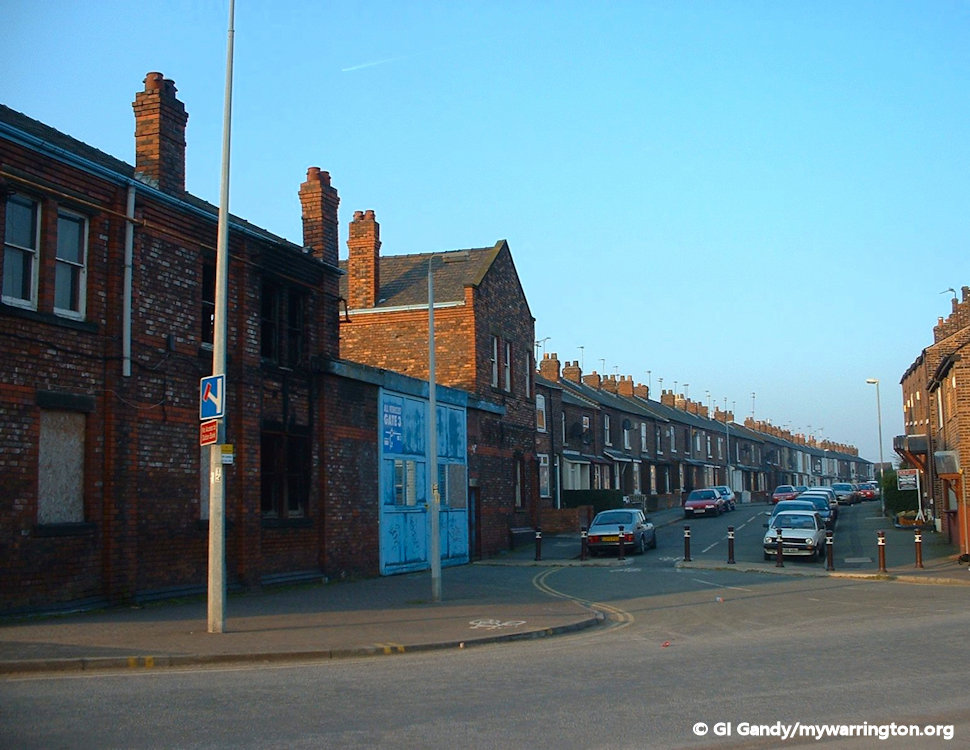
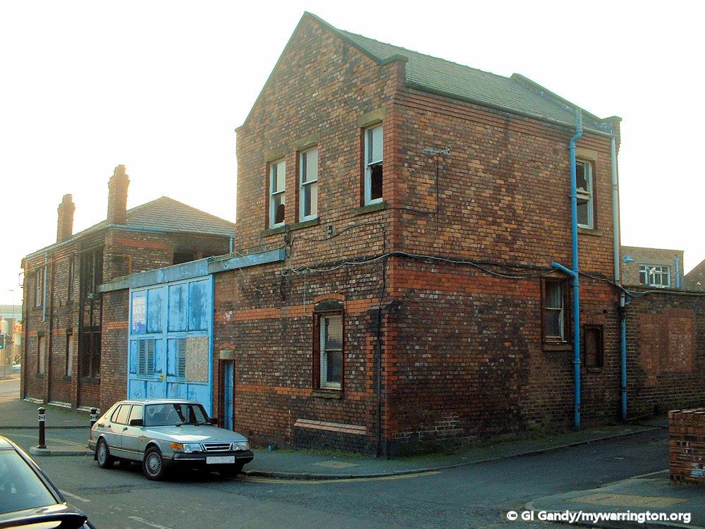
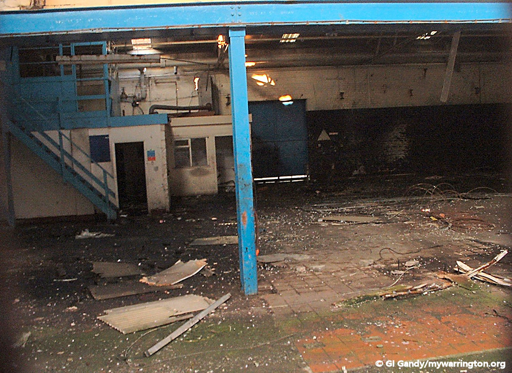
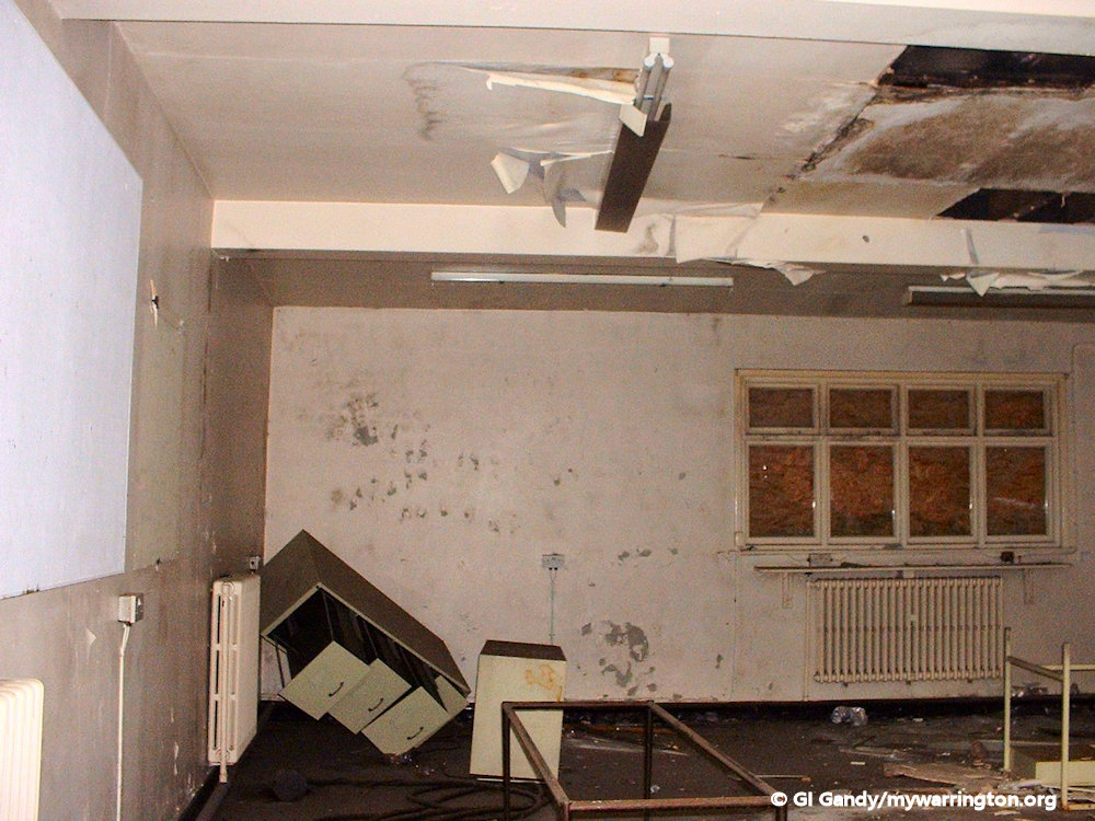
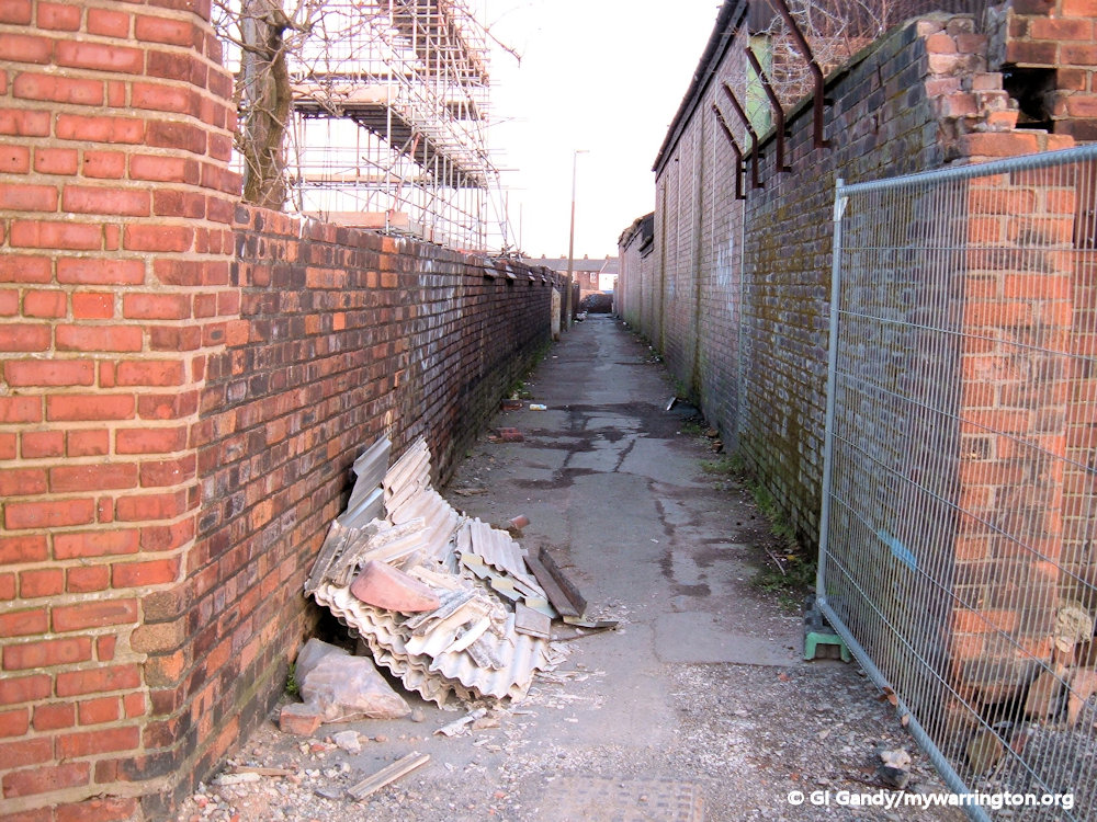
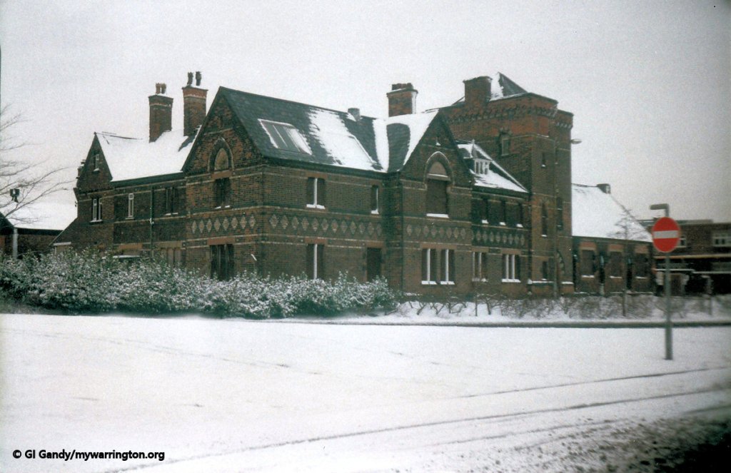
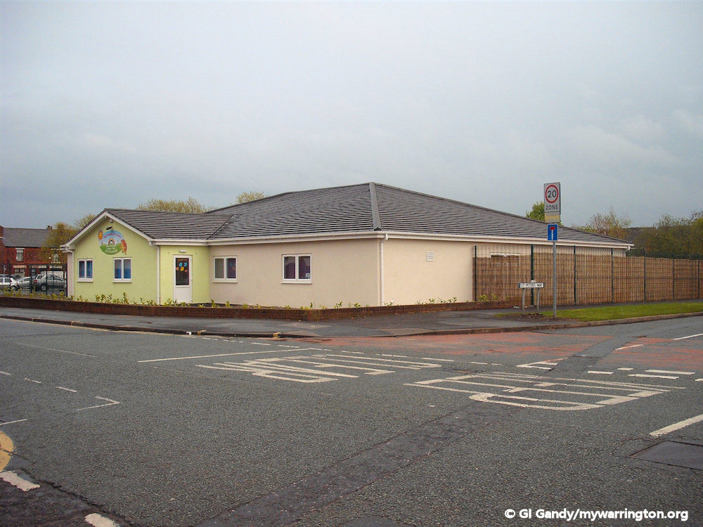
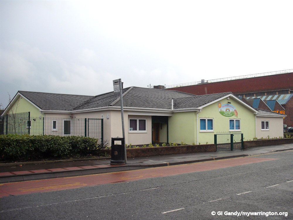
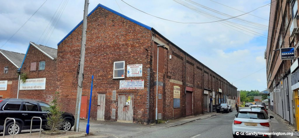
Hamilton Street School was opened on 31 January 1887. It closed around 1972-3 and was demolished after April 1976. The photo here was supplied by Albert Hickson for exclusive use on mywarrington. It was taken from Birchall Street after that street was demolished in 1976 and features the Parish Church of St. Elphin in the background on the left. It was my first primary school and I attended until 1972 when our house on St Peter’s Place was demolished to make way for St Peter’s Way, a modern housing estate with gardens, indoor bathrooms and toilets. Other streets demolished as part of that plan were Hamilton Street, parts of Chorley Street and Margaret Street. St Peter’s Church was also demolished and a nursing home called St Peter’s Court now stands on the site of the church.
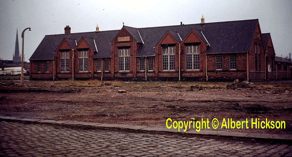
Hamilton Street School will feature in more detail in the Education section of the website at a later date, which will include class photos and memories from former pupils.
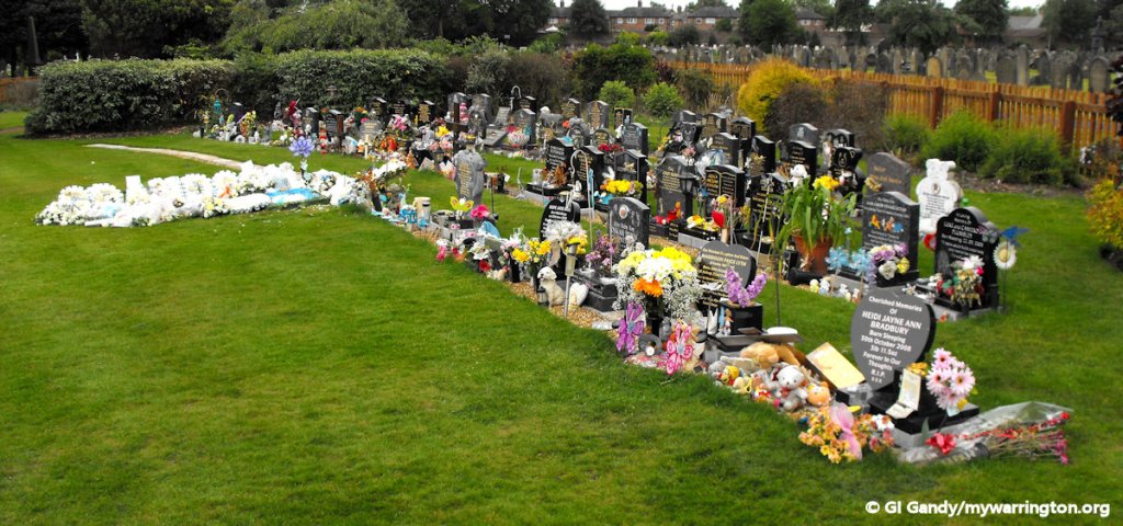
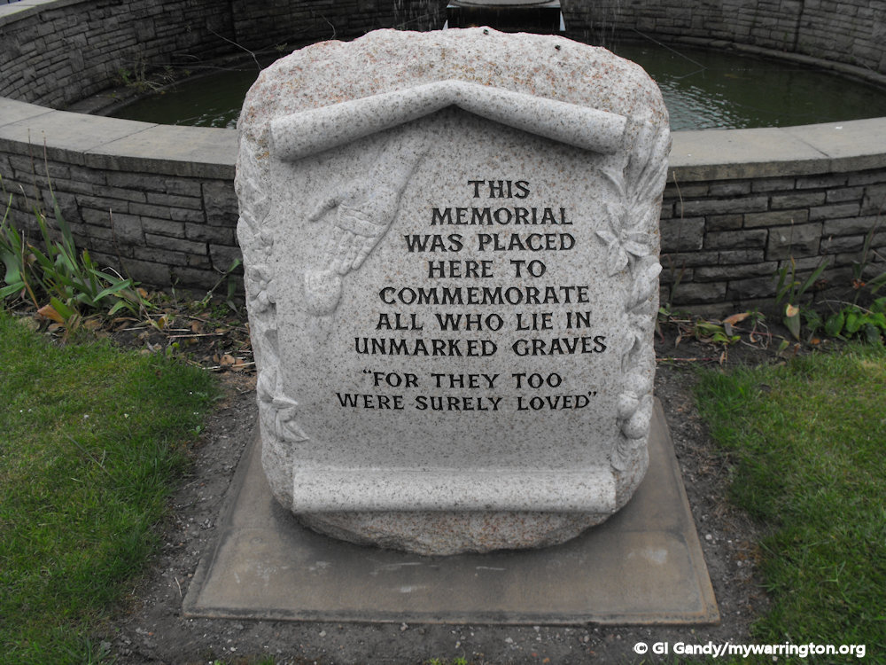
Warrington Cemetery
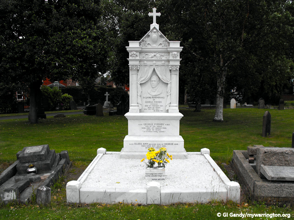
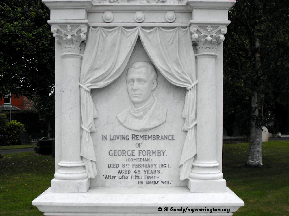
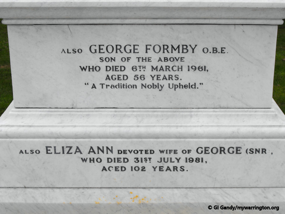
Warrington Cemetery on Manchester Road is within the electoral ward boundary of Fairfield and Howley. It opened on 26 March 1857 and contains the graves of entertainer George Formby, champion jockey Steve Donoghue and Warrington Guardian founder Alexander Mackie.
The first grave in Warrington Cemetery was that of a child who had drowned in the pool of water used by Armitage & Rigby’s cotton mill at Cockhedge. The two-year-old victim was Catherine Allen who was laid to rest on that opening day in 1857. Thanks to Harry Buckley via A Hickson for some of that information.
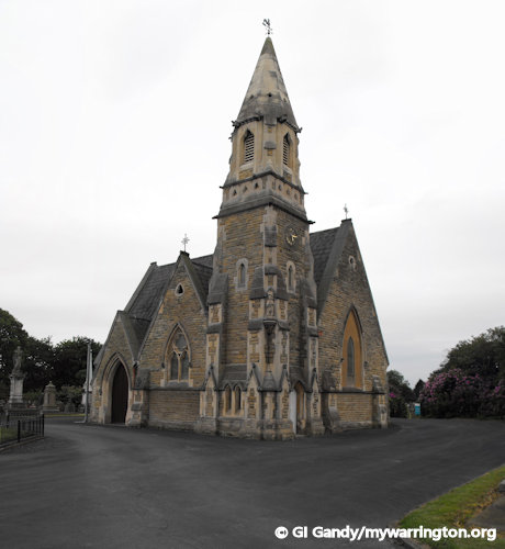
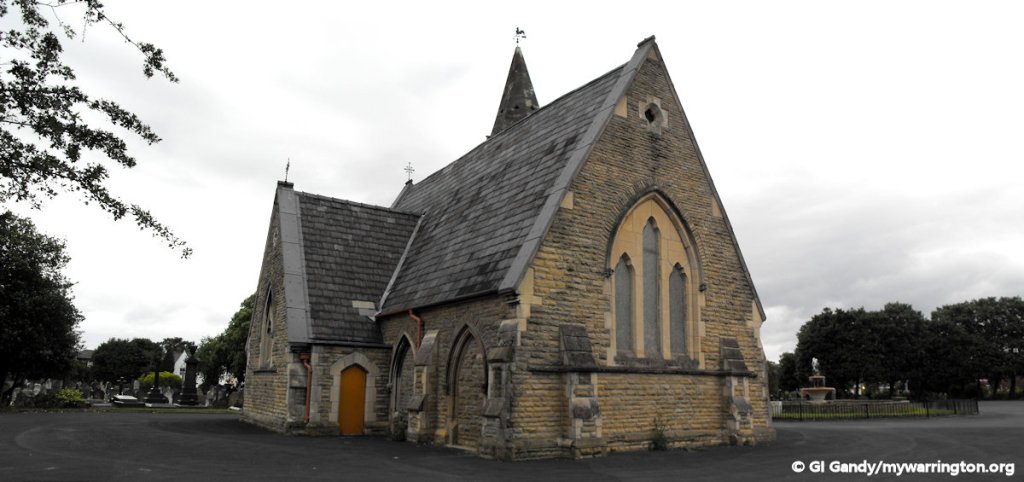
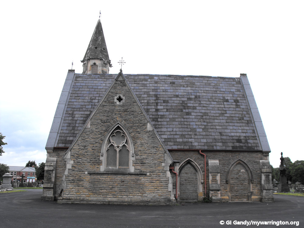
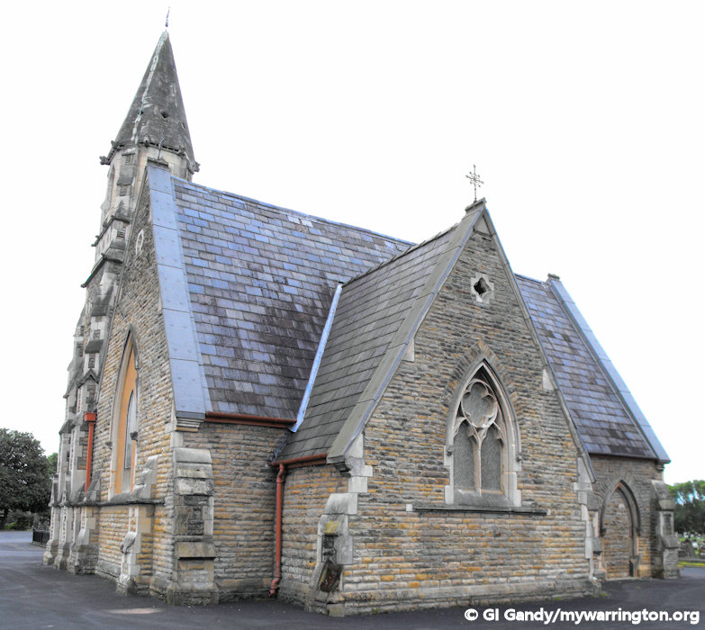
The Chapel
The chapel in the centre is the only one of three remaining standing. This was once the Church of England chapel and, since the Catholic and Non-conformist ones were demolished due to their poor state, is now the interdenominational chapel.
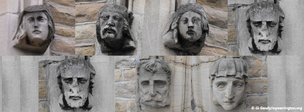
Including in the stonework of the chapel are a series of gargoyles. For those not in the know, these are ornate waterspouts that originated in medieval Europe and were often incorporated into the design of churches and cathedrals to serve a practical purpose: rainwater management.
Gargoyles channel water away from the building’s walls and foundations, preventing damage caused by erosion and water infiltration. Architects often used multiple gargoyles to divide the flow of rainwater off the roof. A trough is cut in the back of the gargoyle and rainwater typically exits through the open mouth. The length of the gargoyle determines how far water is directed from the wall.
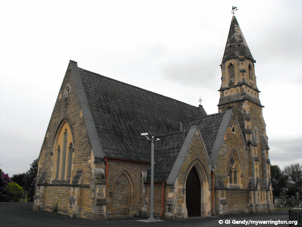
The chapel in the centre, the only one remaining from the original three. The two others were demolished
Gargoyles may also have had other symbolic meanings: guardianship and as pre-christian pagan symbols.
Gargoyles were intended to symbolize “guardianship” of the building. Scholars have suggested that they were intimidating “guardians” to frighten away demons or remind churchgoers that the enemy of their souls lurks outside the holy place.
Some scholars have suggested that gargoyles were pre-Christian pagan symbols, “baptized” for Christian use.
Gargoyles are most commonly associated with Gothic and Medieval architecture but were also included in the construction of many other medieval buildings, such as fortresses and castles. The word ”gargoyle” shares its etymological root with the Old French word gargouille or gargoule, meaning ”throat”. The photo here are a montage of the seven on the chapel in Warrington cemetery.
Tram Stop
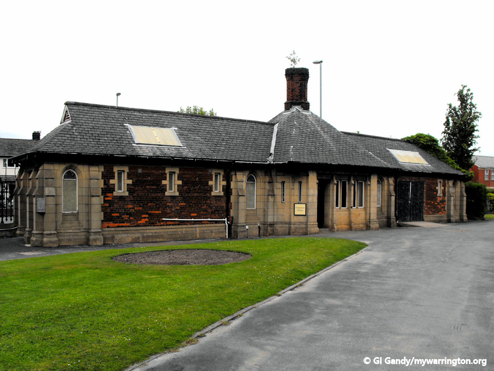
When the trams ran in the town between 1902 and 1935, the Manchester Road terminus was outside the cemetery gates.
The building still stands and was used as bus stop and toilets after the trams finished. It is the building second-left of the gates and is now used by cemetery staff.

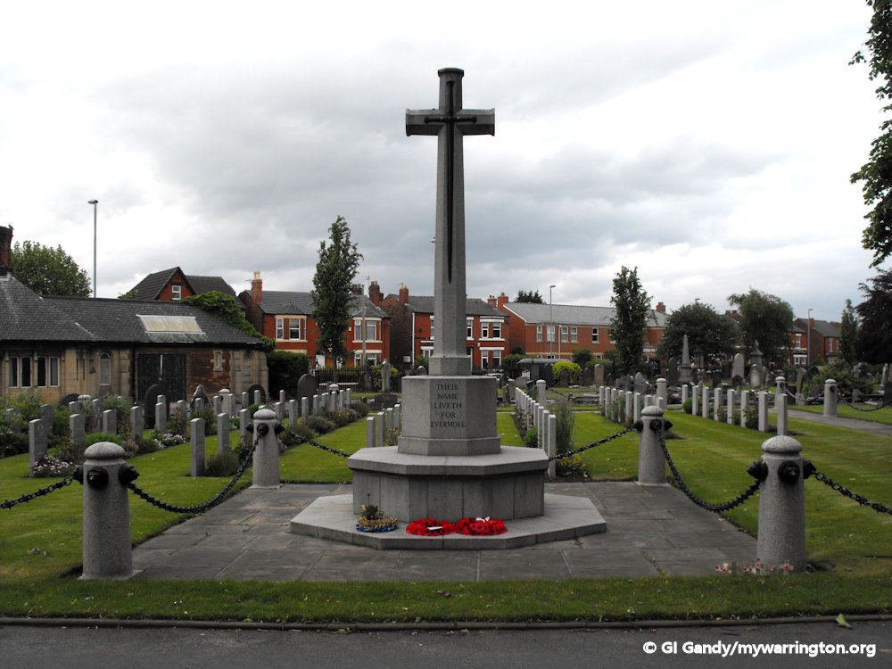
War Graves
Between the months of April and December of 1915 the forces of the British Empire and France combined in an ill-fated attempt to wrestle Istanbul from the Ottoman Empire. This was known as the Dardanelles campaign or simply Gallipoli.
Almost 350,000 deaths or injuries occurred between the two sides, many who were from the Australian and New Zealand forces.
Some of the soldiers injured in that campaign were transferred to the military hospital Lancashire County asylum at Winwick. Sadly, some of those brave men passed away there and are now buried in the war graves right at the front of the cemetery.
Anzac Day is observed every year at Warrington cemetery.
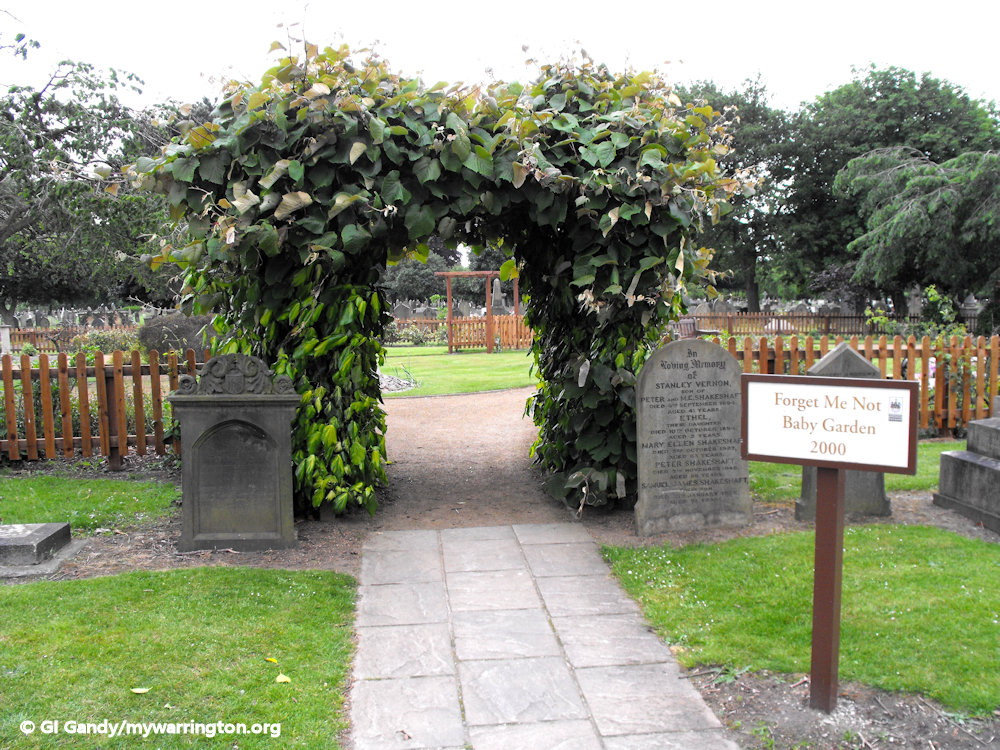
Forget-me-not Baby Garden
The forget-me-not baby garden in Warrington cemetery opened in the year 2000. Areas within the garden have been set aside for both burial and strewing of ashes, along with Elise scheme for memorial plaques. The garden can be found just down the steps behind the Chapel.

During the building of The Friar Penketh pub on Barbauld Street in 2001, remains of 13th century Augustinian Friars were discovered. These were removed and reburied in Warrington cemetery.
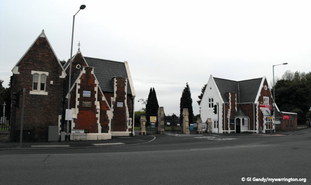
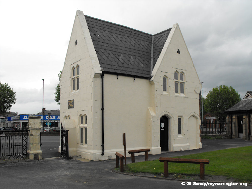
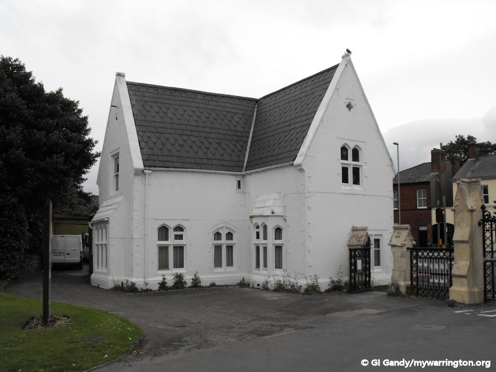
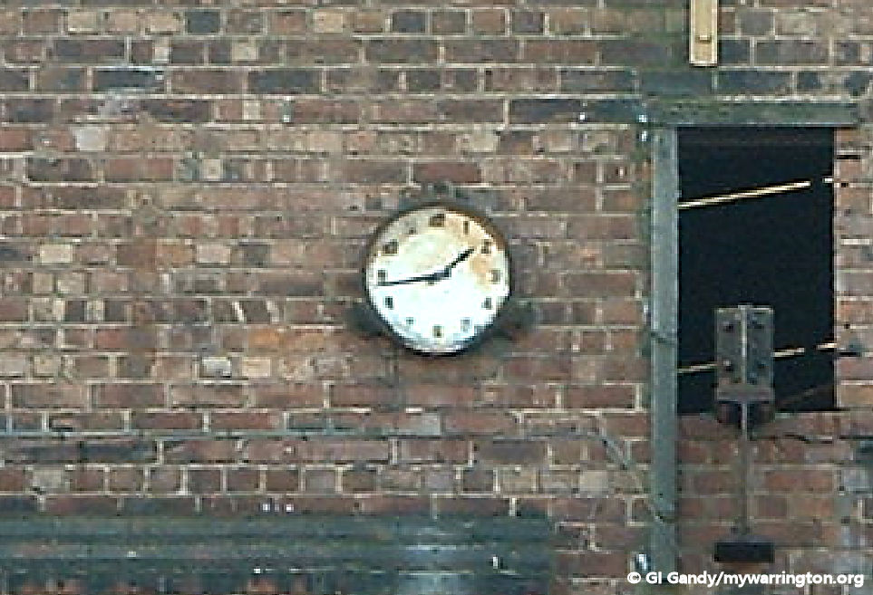
The next series of photos include the the two lodges at the entrance to the cemetery. The first one is now occupied by Roughley’s Monumental Stonemasons and the second is occupied by Mears and Jackson funeral directors.


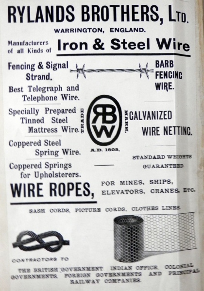
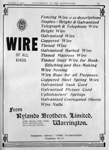
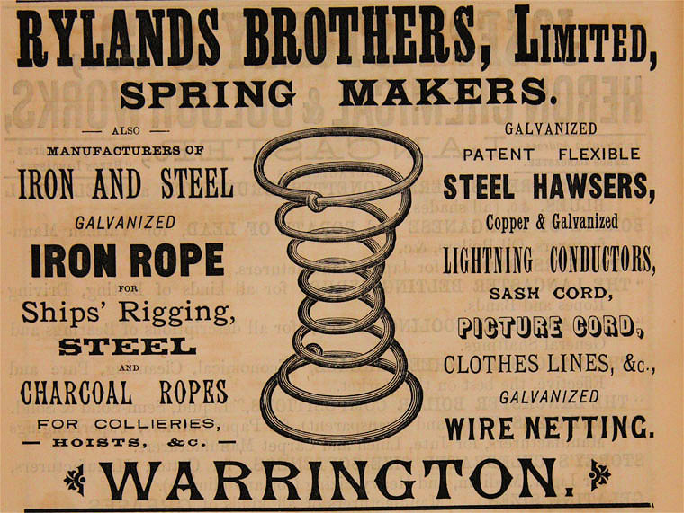
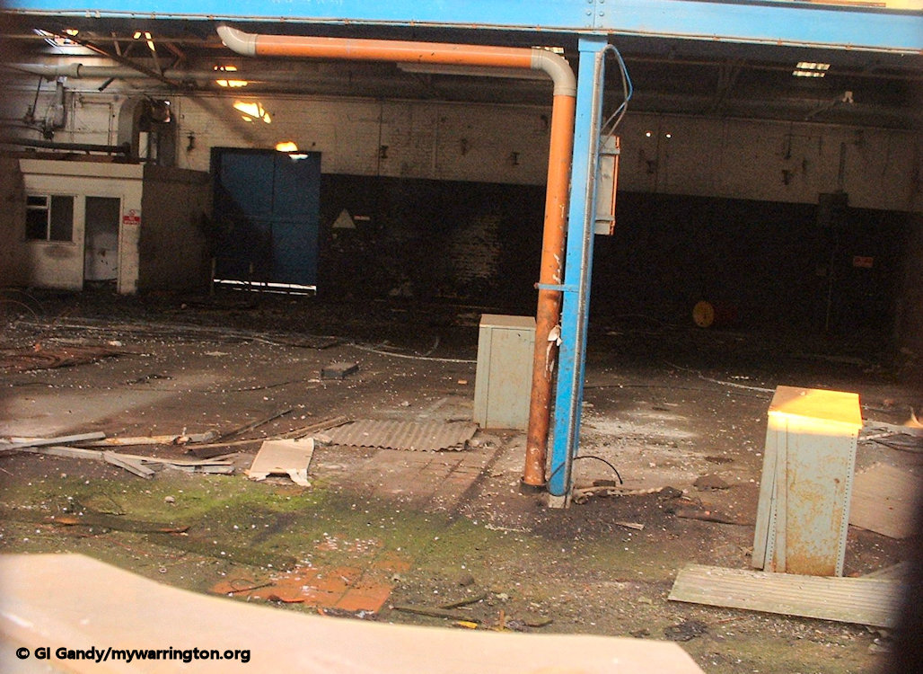
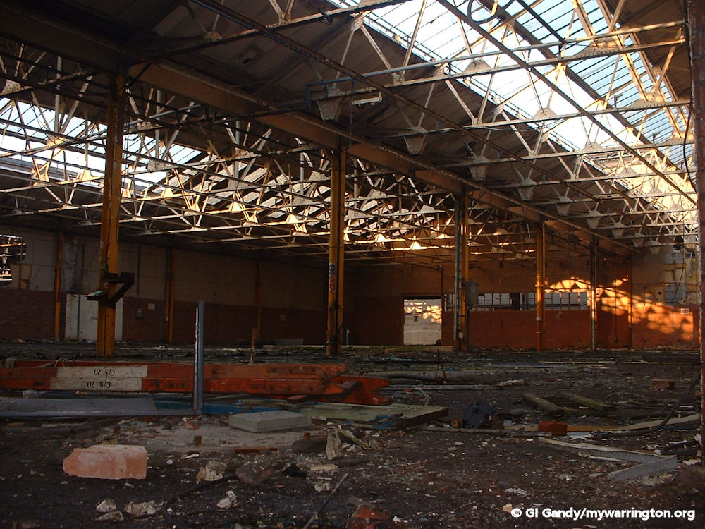
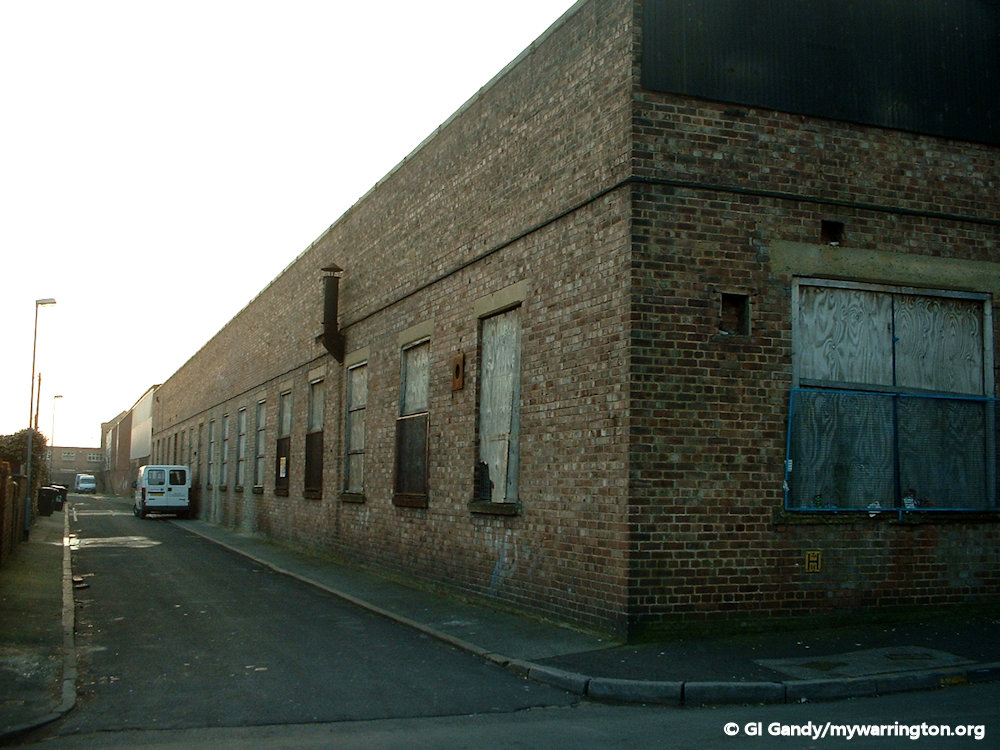
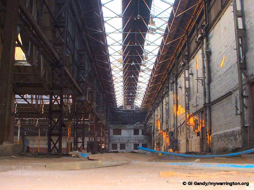
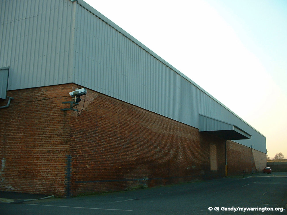
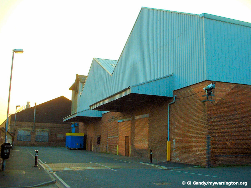
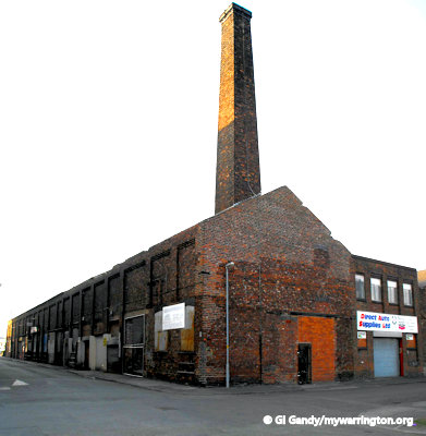
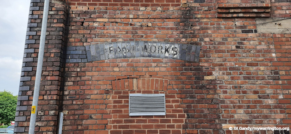
Rylands Wire
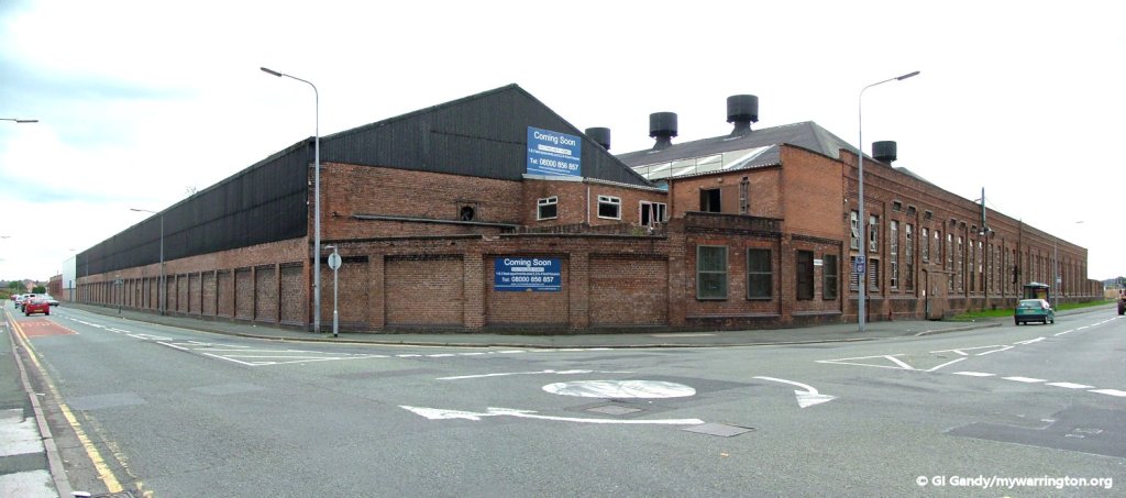
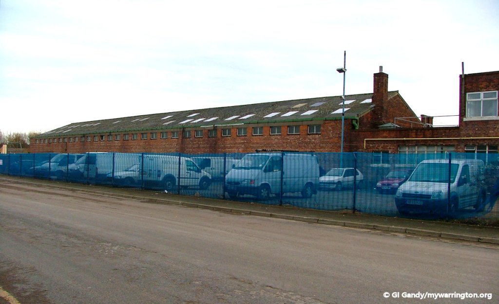
Rylands wire factory had two sites between Battersby Lane and Dalton Bank in the Fairfield district, separated by the Cheshire Lines Committee Railway, which ran a siding into the factory site on Battersby Lane.
The firm of Rylands Brothers Limited was founded in the seventeenth century by John and William Rylands, the first named having been born in 1619. They and their immediate descendants employed weavers in the neighbourhood of Culcheth, to weave linen thread into fabrics which were sold in Manchester, even then the leading English market for Linen cloth. In those days Culcheth was annexed to Leigh rather than Warrington until the 1974 boundary changes.
In 1805 Mr. John Rylands of this firm, which was then known as John Rylands and Son, introduced the manufacture of wire into Warrington. Rylands had previously worked with Nathanial Greening, who set up his own wire-weaving firm in 1799. The business later passed into the hands of Mr. John Ryland’s three sons, and finally in 1868 the firm was converted into a private limited company under its present style of Rylands Brothers Limited.
It became a private company in 1869 and in 1910 Pearson and Knowles Coal and Iron Co, which had had an “acquaintanceship” with Rylands Brothers for some years and supplied feedstock to the company, purchased Rylands Brothers.
The Pearson and Knowles group of companies amalgamated with the Wigan Coal and Iron Co in 1930 and two new companies were formed to hold the coal and steel interests separately. The iron and steel business, the Lancashire Steel Corporation, would hold the interests in Rylands Brothers.
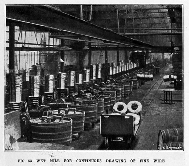
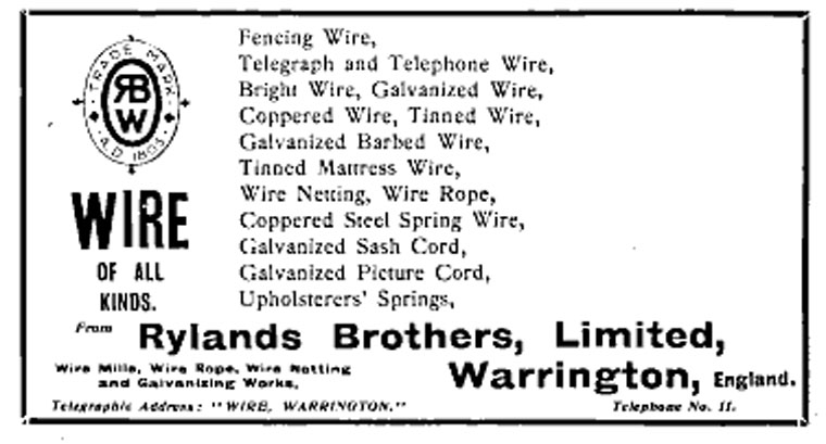
In 1937 the company showcased their work at the British Industries Fair. On display was iron and steel wire and wire products galvenized by the “Crapo” process, barb wire, “Rylink” chain link fencing, “Rylock” hinged joint fencing, mattress wire and wire nails in all sizes. (Stand No. A.526).
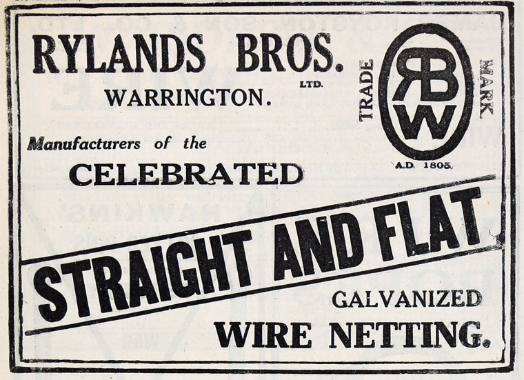
By 1961 Rylands manufactured wire, wire netting, wire nails, barb wire, woven wire fencing and chain link fencing and had 2,000 employees.
Nationalisation of the steel industry in 1967 meant Lancashire Steel became part of British Steel and in 1973 British Steel sold its carbon- and mild-steel wire-making activities at Warrington (Rylands and Whitecross) and at Middlesbrough (Dorman Long) into a new company Rylands-Whitecross, jointly owned by Tinsley Wire Industries and British Ropes. Rylands was later taken over by Carrington Wire until the company was closed in 2007 with the loss of 165 jobs.
Information on Rylands Wire reproduced with permission of gracesguide.co.uk.
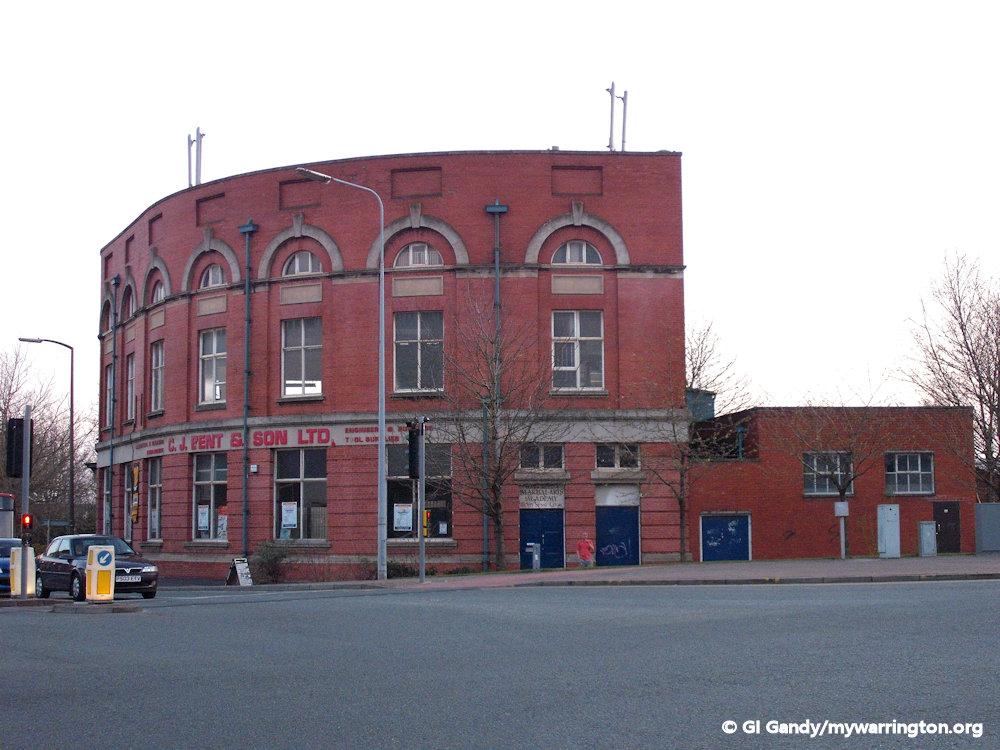
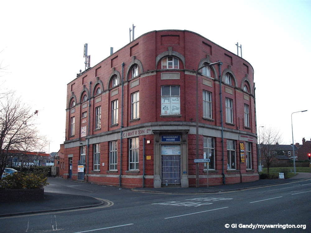
Rylands had a site on Church Street. This is now occupied by Sainsbury’s supermarket. However, the Rylands canteen on Church Street was left standing and for a period of time it was occupied by Bent’s electrical store and now known as Quadrant House.
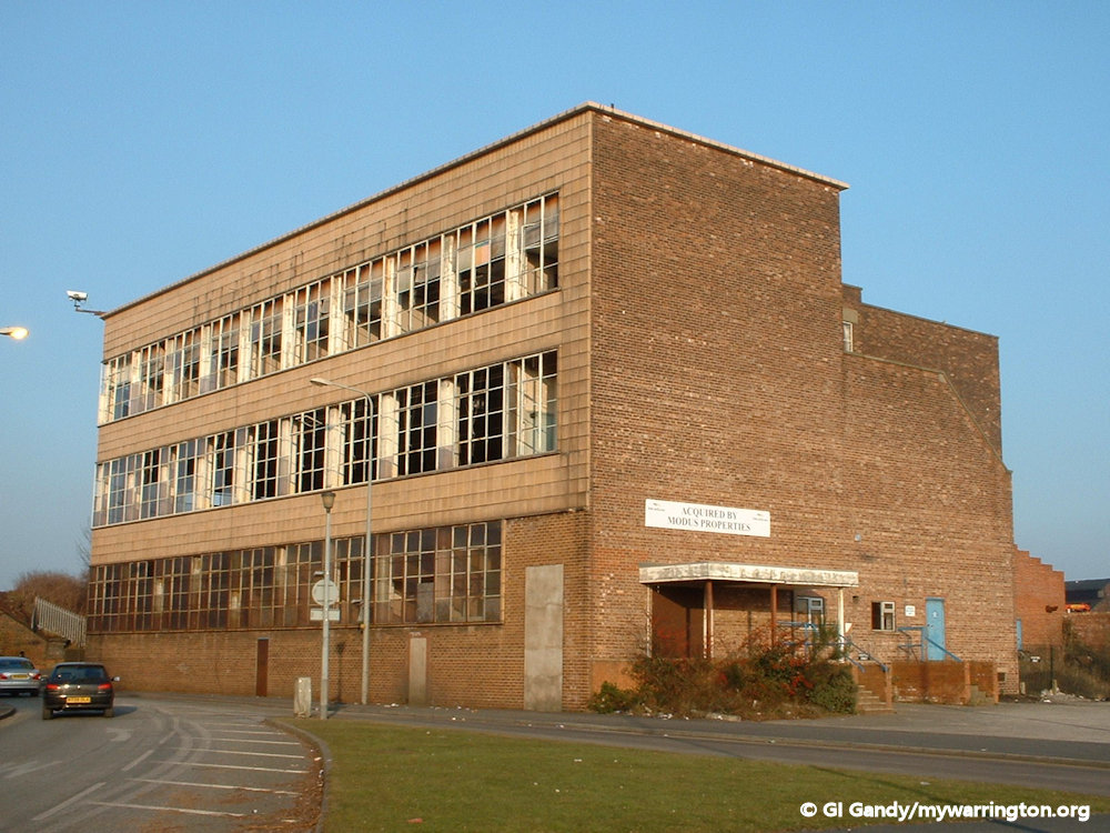
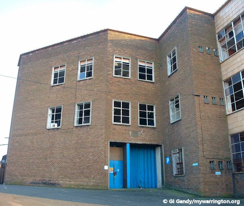
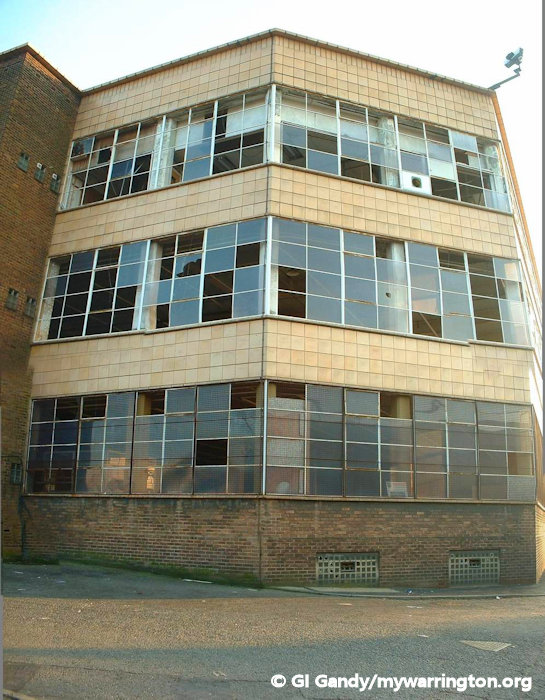
Towards the end of the 20th century, Carrington Wire occupied the Battersby Lane site. Read a report on Carrington Wire here.

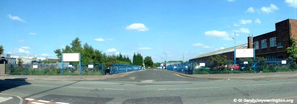
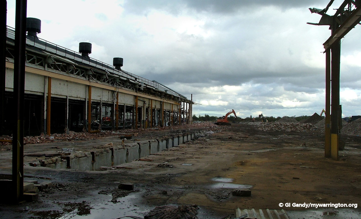
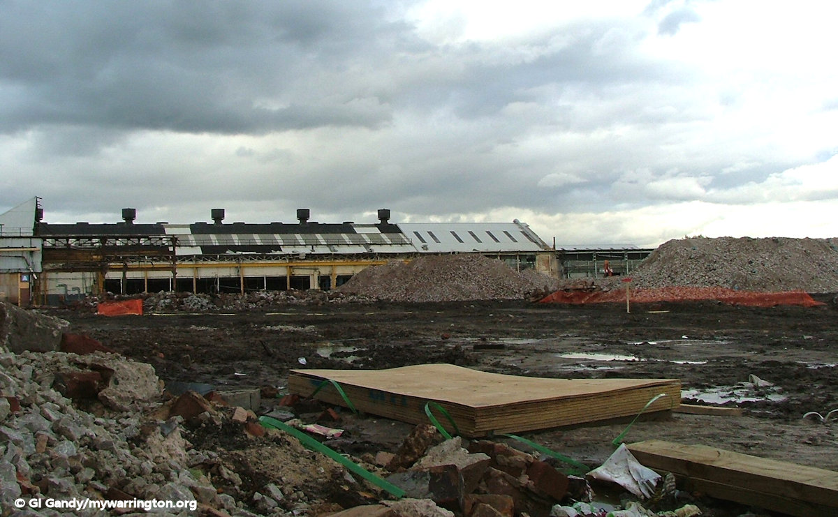
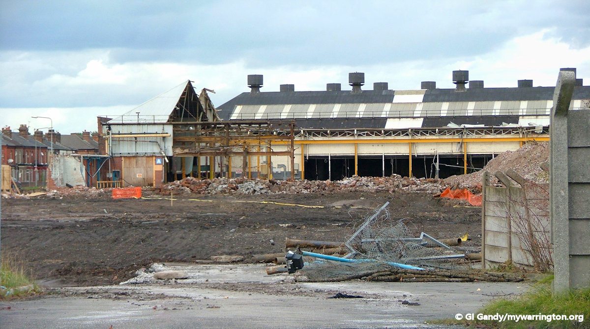
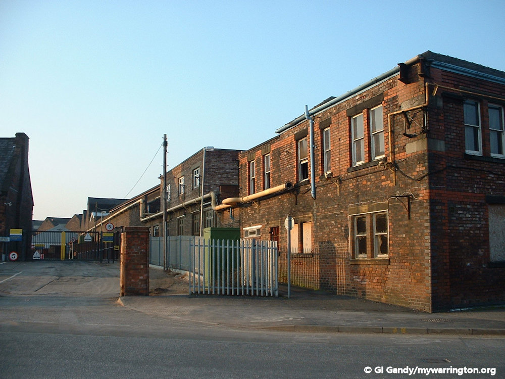
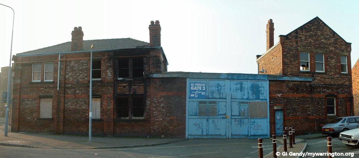
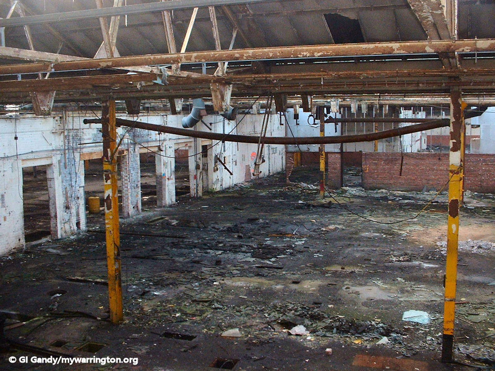
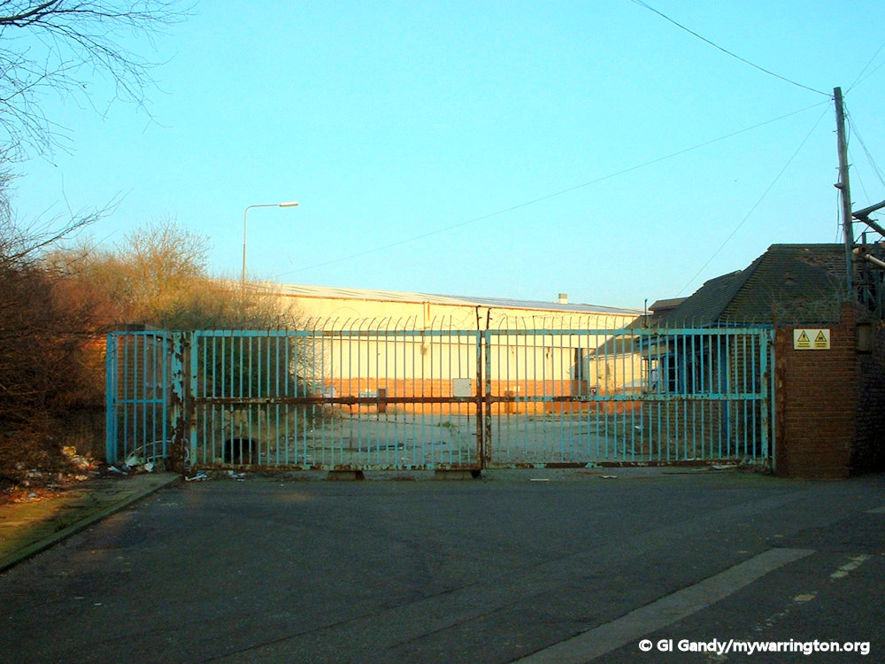
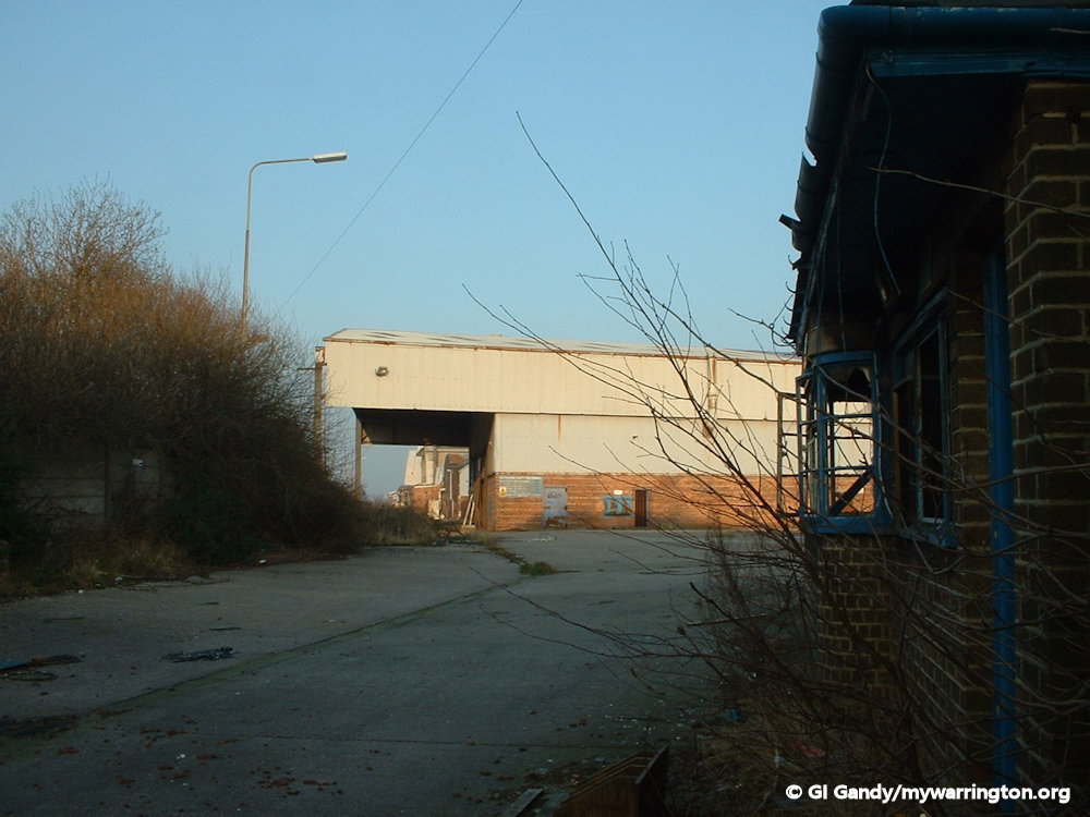
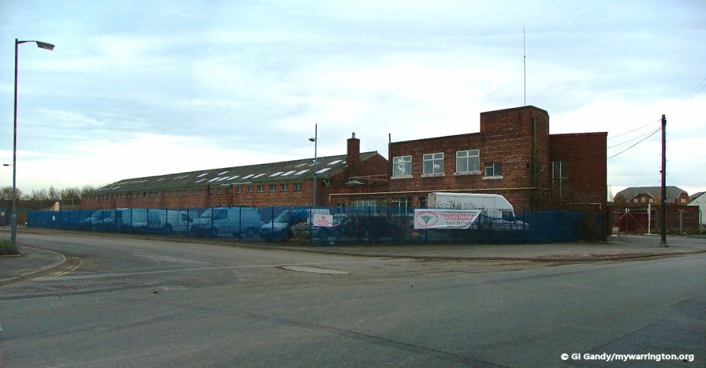
Let us now have a look at the demolition of the Battersby Lane site, beginning with the offices.
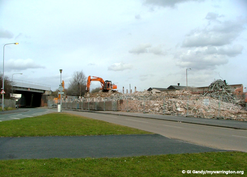
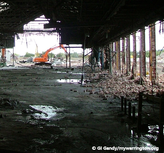
And now the factory site on Battersby Lane (photos taken 20 October 2005).
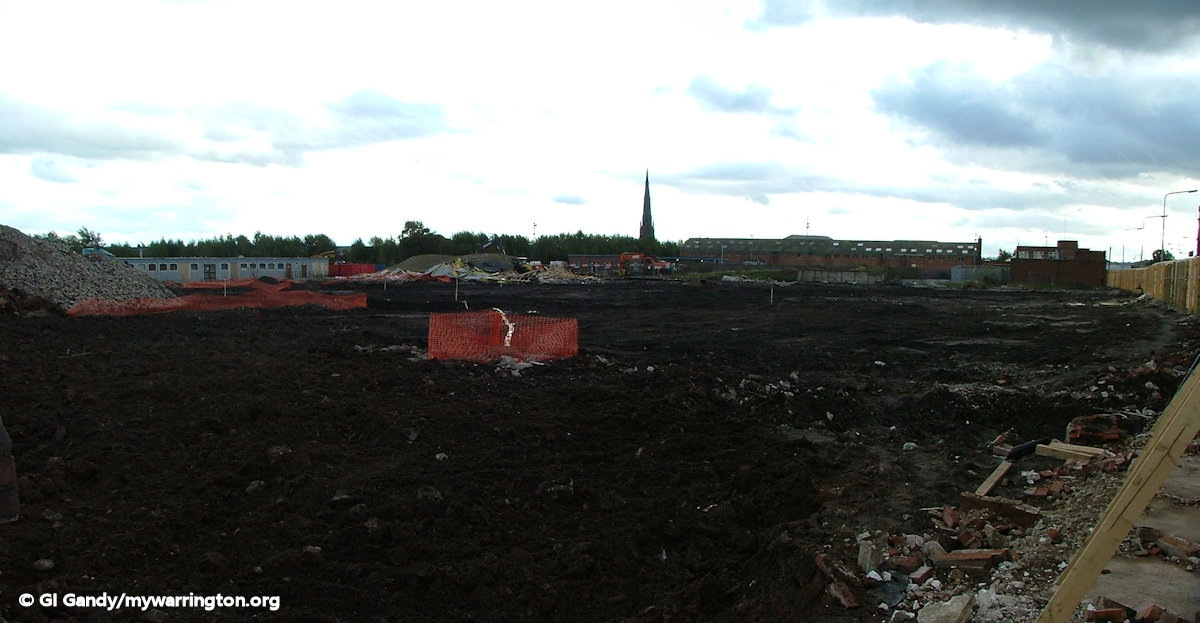
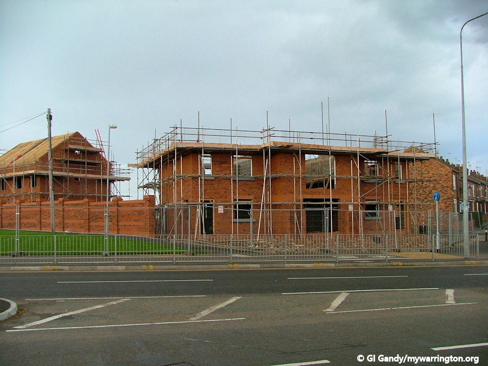
Housebuilding commenced soon after demolition.
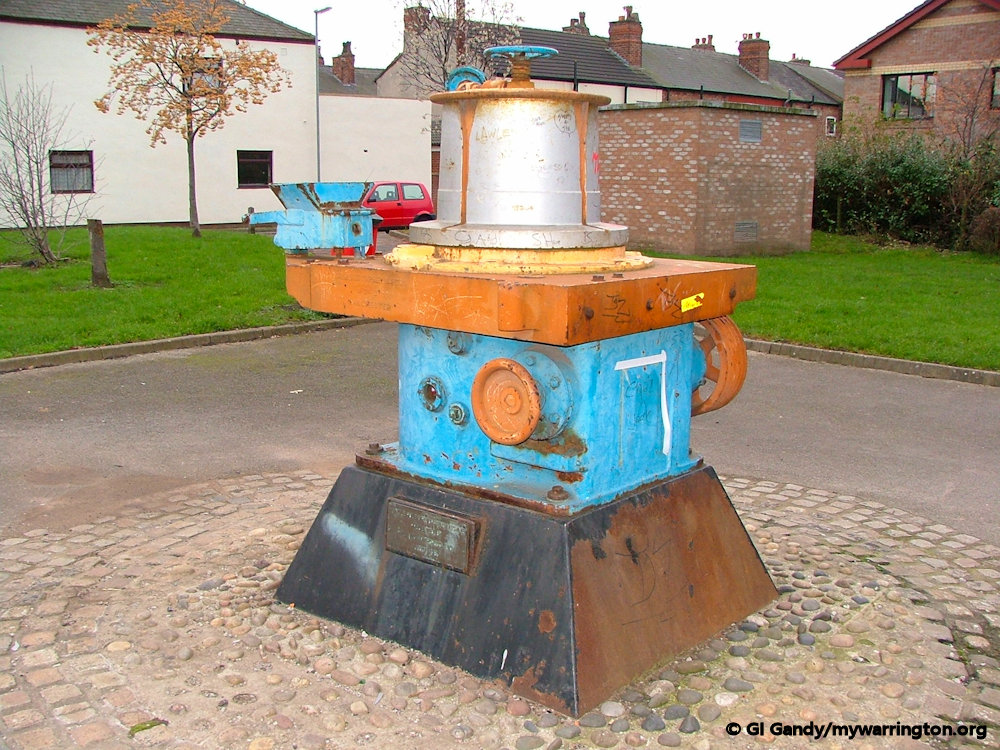
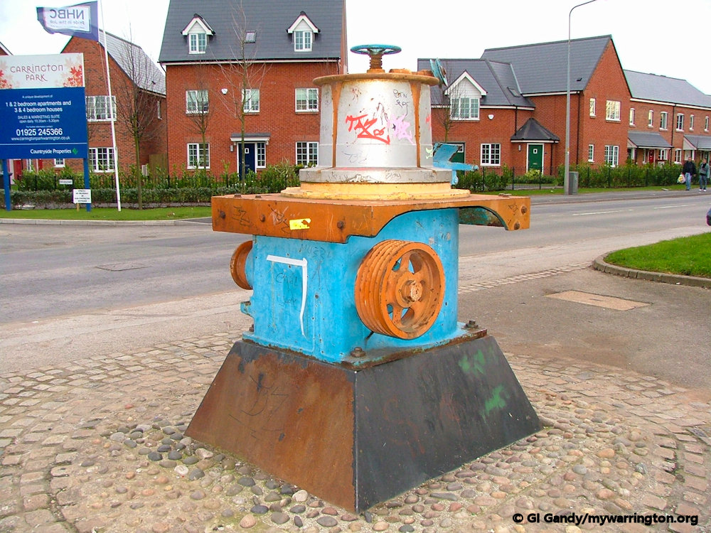
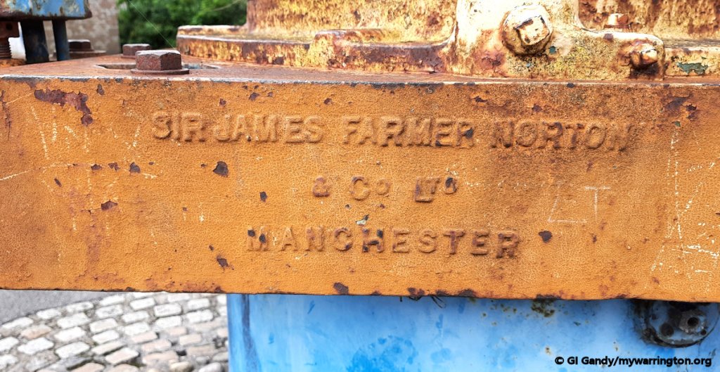
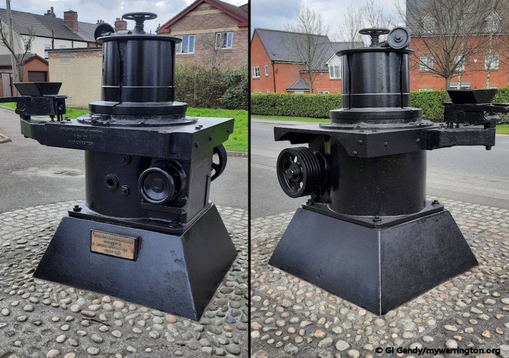
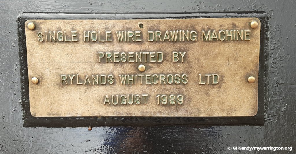
Rylands donated a single hole wire drawing machine to the community as a memory of the company. It is on display on Battersby lane and is seen here in its original colour (30 November 2006) and repainted in black (1 April 2022).
Here are some photos of the Dalton Bank site taken on 22 February 2003.


This is a view of the apartments and houses that were built on the site on Marsh House Lane and Battersby Lane.
See Warrington Museum website for more on Rylands.
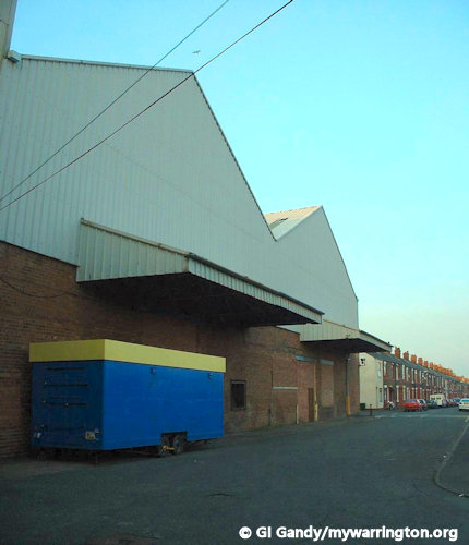
Sixpenny Fields
Running alongside the former Dalton Bank works of Rylands is the Sixpenny Walk. In my young days, I had a choice of parks to go to, Orford Park and St Elphin’s Park. To get to St Elphin’s Park I used the Sixpenny Walk. Once Rylands at Dalton Bank was demolished the site became a housing estate called Sixpenny Fields and the Sixpenny Walk was left in place. The photos here are before the hosing estate (2003) and during housebuilding (2005).

Warrington Grammar School For Boys
The school was founded in 1526 by Sir Thomas Boteler. He left a legacy to pay for the education of six “poor boyes of the parishe”, and this foundation later developed into the Boteler Grammar School for Boys, serving the whole of Warrington. The motto of the school, Deus spes nostra translates as God is our hope.
The original school was located in the then town centre located in the area around St Elphin’s Church, now included in the Church Street Conservation Area. Its nineteenth century building at School Brow was demolished some years ago.
Some information from Wikipedia.
The old grammar school in Feb 1996
The National Archive tells us:
The school was founded in 1526 under the will of Sir Thomas Boteler, kt., Lord of the Manor of Warrington. It was built originally in School Brow, and there rebuilt in 1688, 1707, 1829 and 1862, then in 1940 moved into new buildings at Latchford upon amalgamation with Warrington Secondary School. It was amalgamated in September 1983 with Richard Fairclough County Secondary School to form Warrington Victoria Park County High School. In 1988 the school name was changed to Sir Thomas Boteler High School and in 2002 became Sir Thomas Boteler CE (Aided) High School.
Text used under the Open Government Licence.
A more detailed study of the school features in the Boteler Grammar School section of Education.
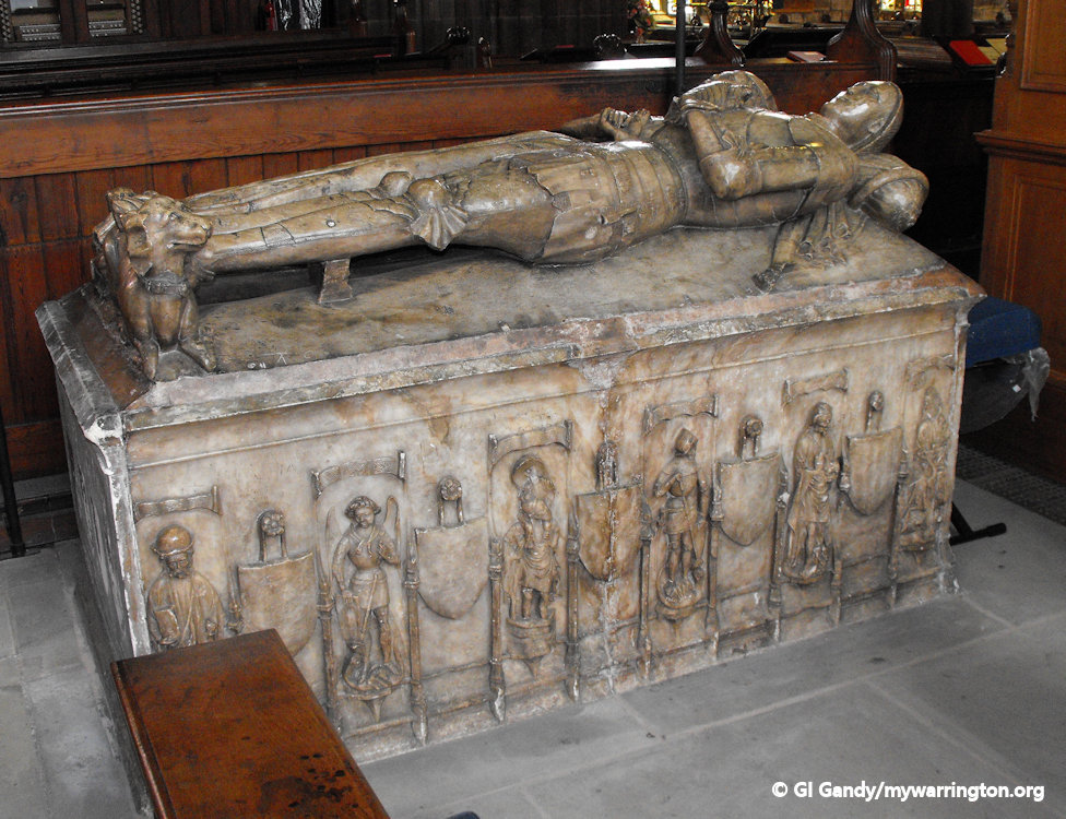
Effigy of Sir Thomas Boteler in St Elphin’s Church on Manchester Road
British Road Services
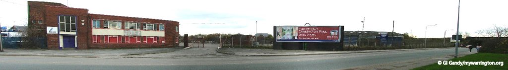
Battersby Lane was the Warrington location for British Road Services. British Road Services (BRS) was established in 1948. It was the British road transport company formed by the nationalisation of Britain’s road haulage industry, under the British Transport Commission, as a result of the Transport Act 1947. By the 1960s it was made up of four main operating areas: British Road Services Ltd., BRS Parcels Ltd., Pickfords and Containerway & Roadferry Ltd.
In 1969 it was renamed the National Freight Corporation. Under the Conservative government of Margaret Thatcher in 1982 it was sold to its employees in one of the first privatisations of state-owned industry under the name the National Freight Consortium. It was first listed on the London Stock Exchange in 1989. It subsequently became NFC plc. BRS Parcels was rebranded as Roadline and left the company by way of a management buy-out under the name LYNX Express in 1997.

The British Road Services depot on Battersby Lane, Warrington
The company disposed of Pickfords in 1999 to Allied Van Lines. Ocean Group plc changed its name on 26 July 2000 to Exel plc (presumably upon the merger with NFC plc). Exel plc changed its name to Exel Limited on 11 Dec 2006.
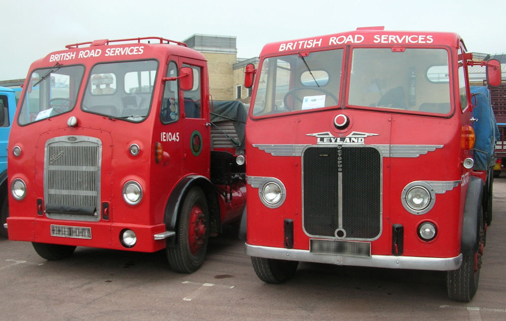
BRS-liveried vehicles. A 1961 Bristol HG on the left and a 1949 Leyland Octopus on the right. These vehicles were photographed attending the 2007 Classic Commercial Motor Show at the Heritage Motor Centre, Gaydon, UK. Author DeFacto.
This file is licensed under the Creative Commons Attribution-Share Alike 2.5 Generic license
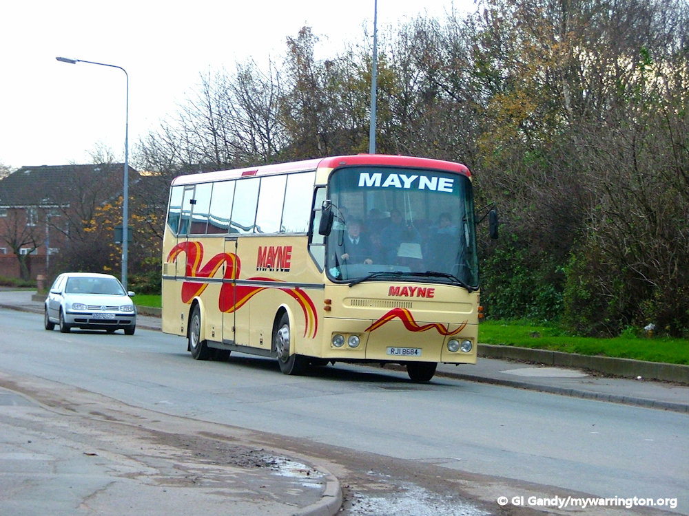
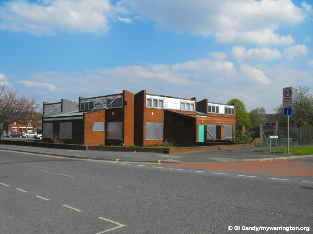
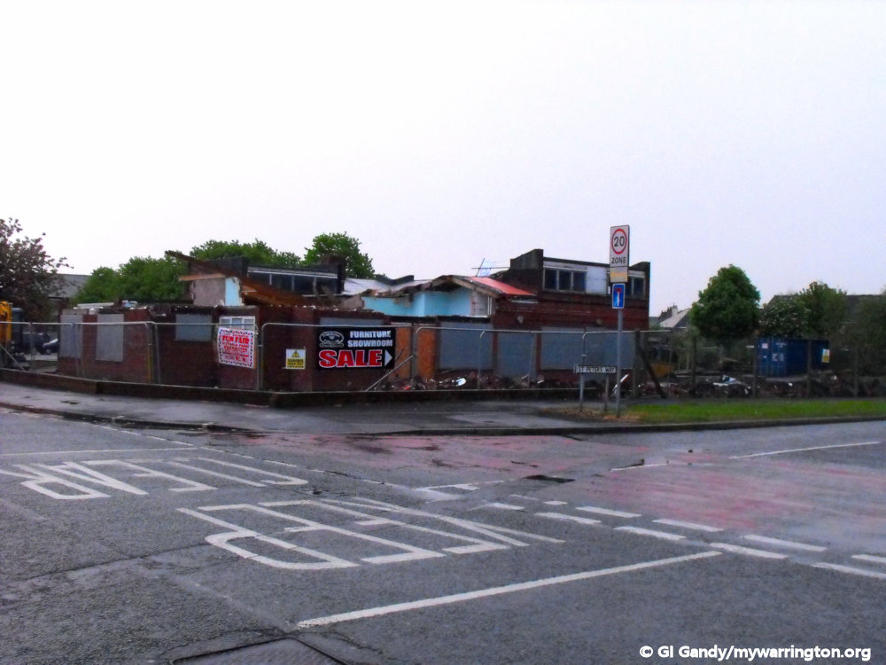
The site on Battersby Lane was taken over by the Mayne coach company as their depot until 2005 when they moved to a new site on Marsh House Lane. Mayne had taken over Barry Cooper Coaches Ltd in 1982.
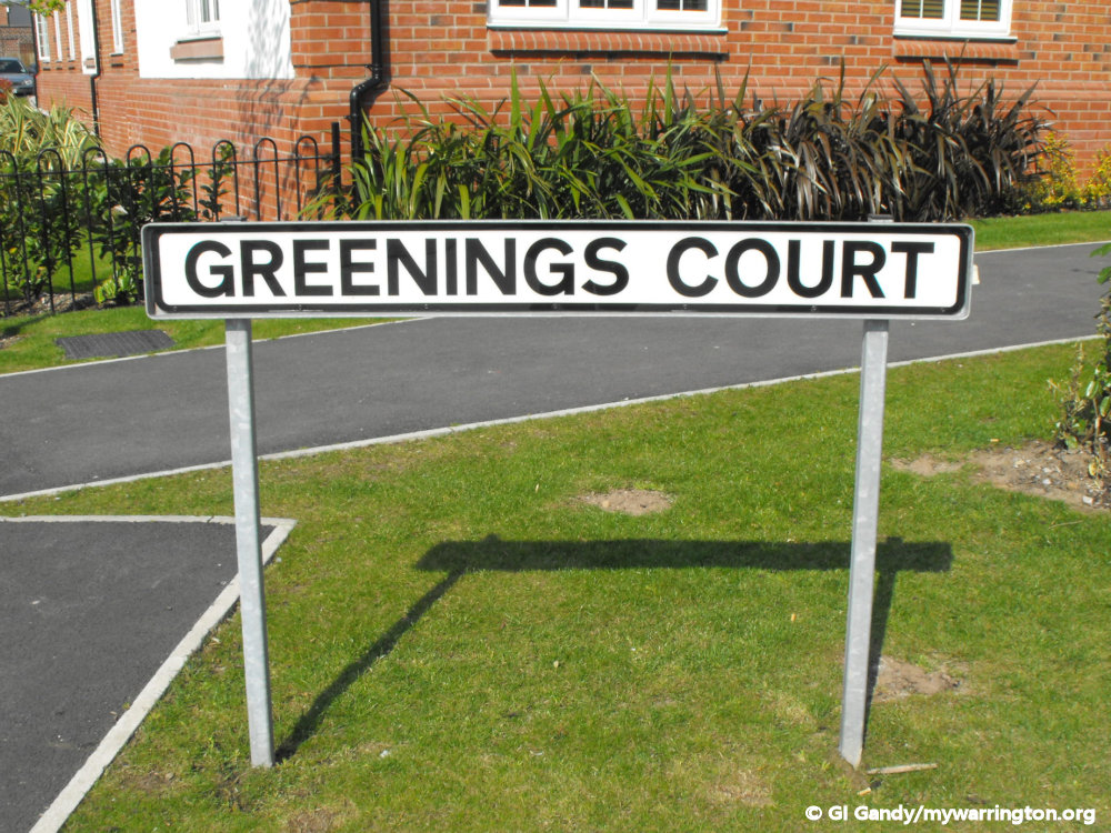
With the closing of Carrington Wire and the relocation of the Mayne coach company, the site on Battersby Lane and Marsh House Lane was redeveloped into a housing estate with street names of Rylands Drive, Greenings Court, Firth Boulevard, Monks Place and Houghton Avenue and so keeping the former wire, iron and steel business names of the town alive.
As a child who lived round the corner from the site, I was always fascinated by the vehicles going in and out of the depot and was pleased as an adult that I could still see the site, albeit as a former coach company depot, to take these photos on 30 November 2006.


Some information from Wikipedia.
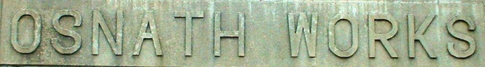
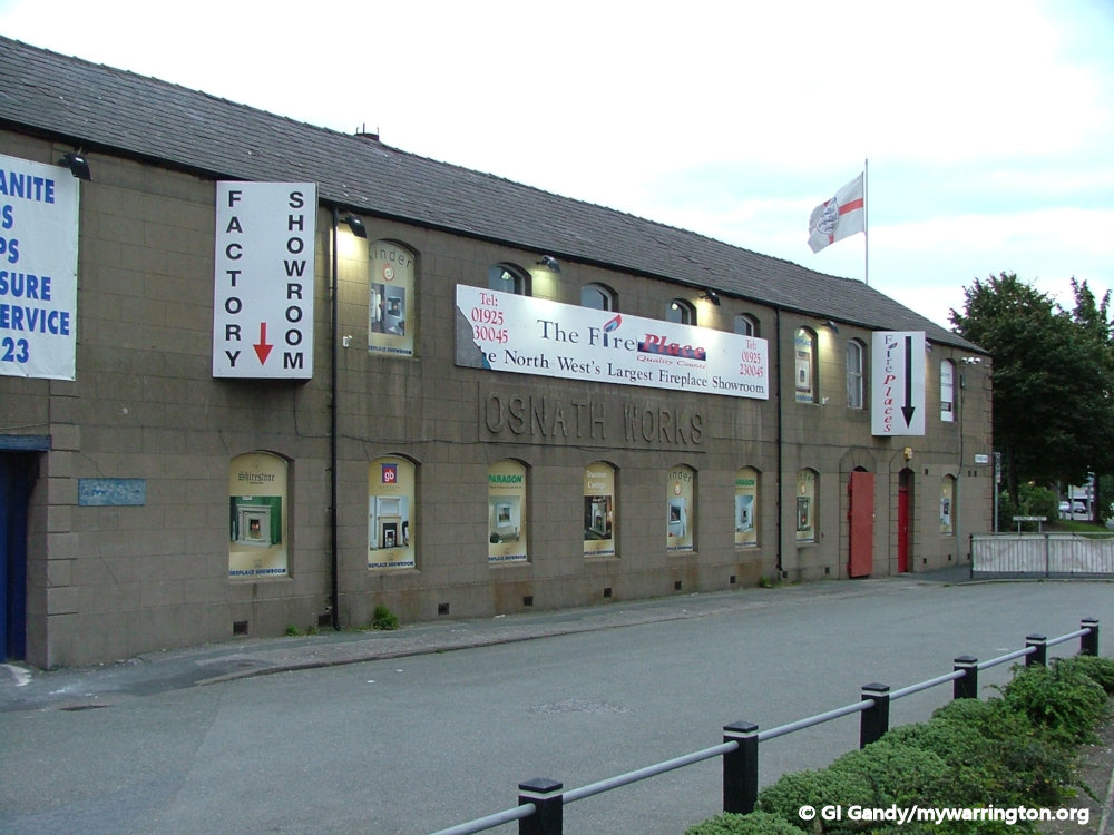
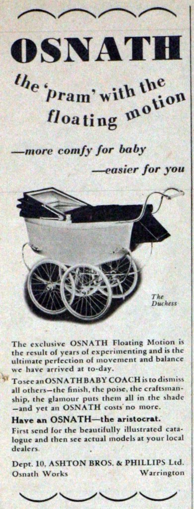
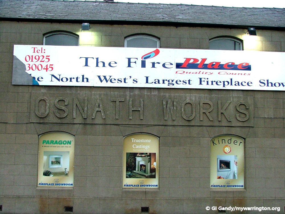
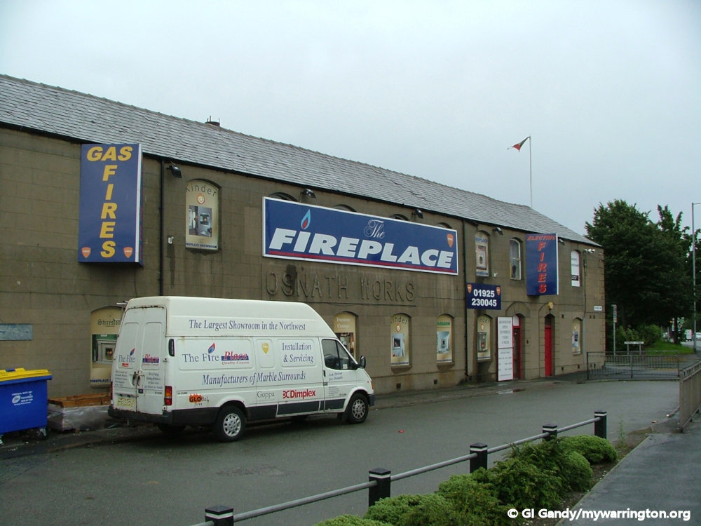
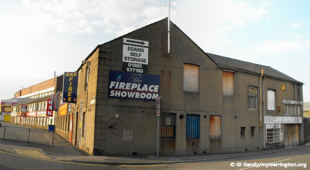
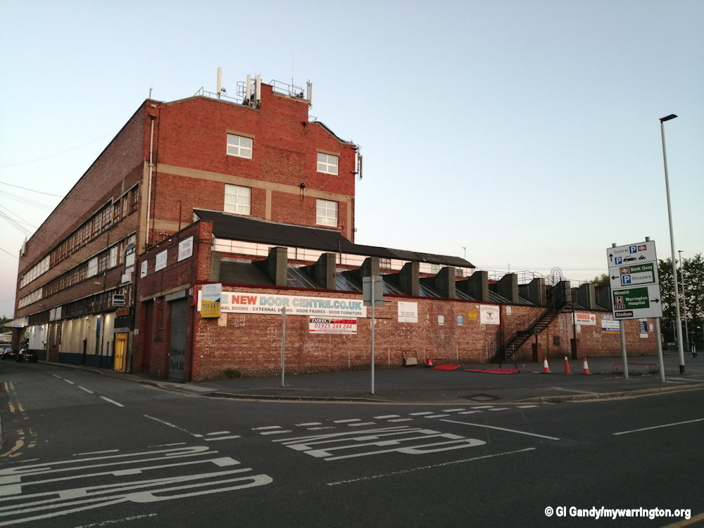
Osnath Pram Works
In 1872 William Ashton created a solution that every family with children had – how to transport them around the town before the age of the motor car.
His solution was to build the equivalent of a horse drawn coach called a ‘brougham’. This idea consisted of a seating area mounted on wheels with springs to take the jolts out of the cobble stone pavements.
He decided to call the company Osnath, an anagram of the family name Ashton. Later publicity would claim ‘Osnath…a name in baby coach manufacture synonymous with all that is best, in other words, the Rolls Royce of the pavement’.
Osnath prams were soon being paraded in London’s leafy parks by the nannies of leading aristocratic families and even a minor royal.
In a Warrington Guardian report on 4 January 2019, Janice Hayes, Warrington Museum heritage manager, said: “Alas quality counted for little when the market changed.
“By the 1960s modern mothers wanted lighter prams and even something which they could fold up and carry in the new family car and by 1965 Osnath’s ceased trading.”
Warrington Guardian reader Margaret Hall said: “When my mother’s sister gave birth to her first baby girl in 1952, after 25 years of marriage, my uncle, who was still working at Osnath, offered to get her a pram direct from the factory.
“My mum was given the honour of going to choose it and my uncle Jack was given the job of showing her the range of models.”
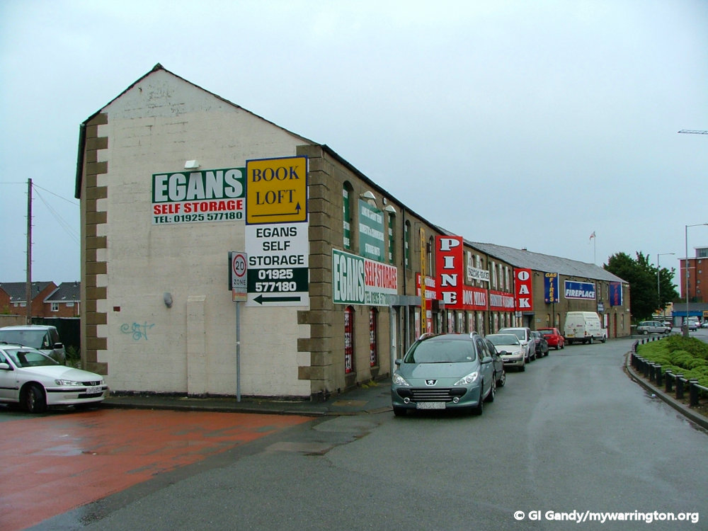
The building on Lythgoes Lane is still in use for a variety of businesses.
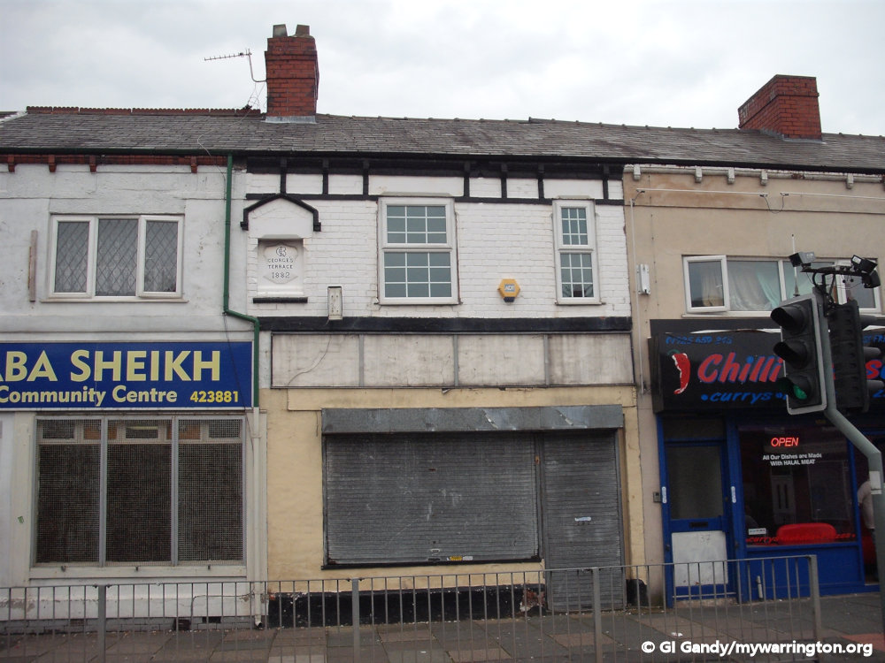
Readers might remember a shop on Orford Lane connected to the pram industry. This was Pramland and occupied the shop next to the entrance to the old St Benedict’s Primary School. The shop is now a bookmakers. The word pram is a shortened version of the perambulator, which comes from late Middle English: from Latin perambulate: ‘walked about’, from the verb perambulare, from ‘per- ‘all over’ + ambulare ‘to walk’.
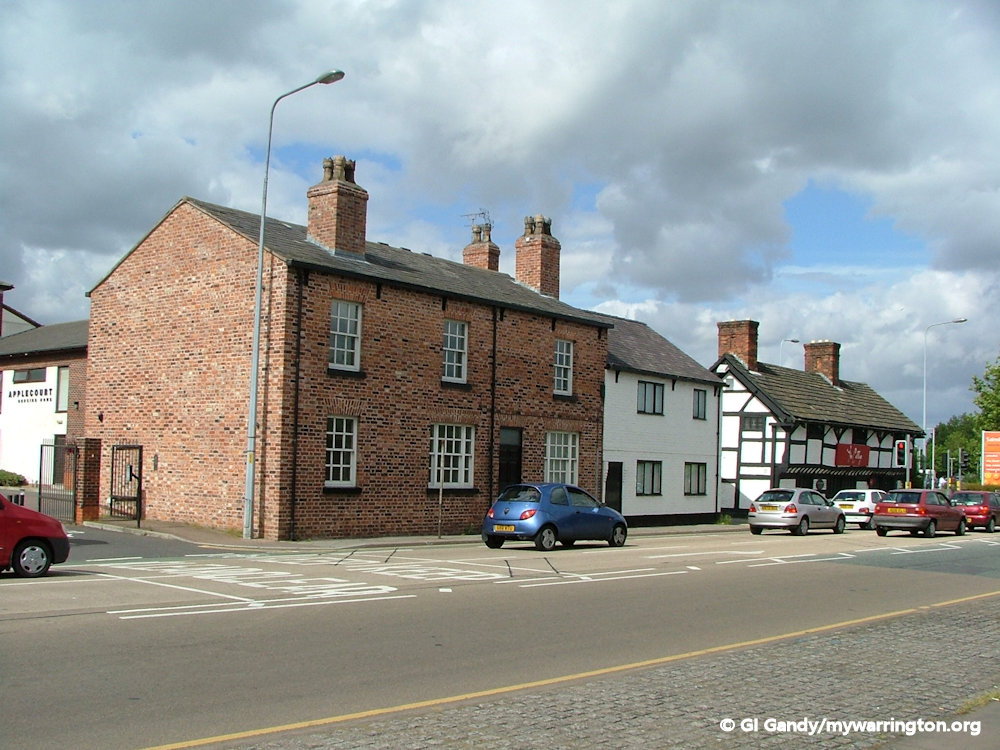
Orford Lane
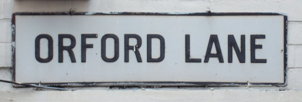
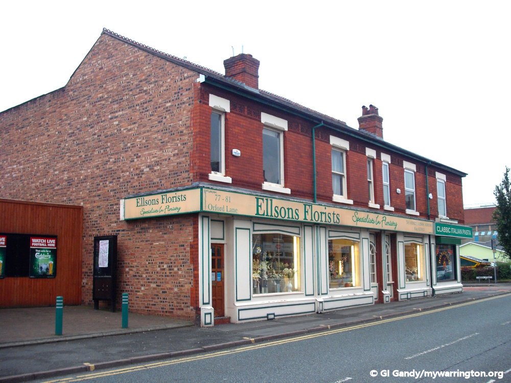
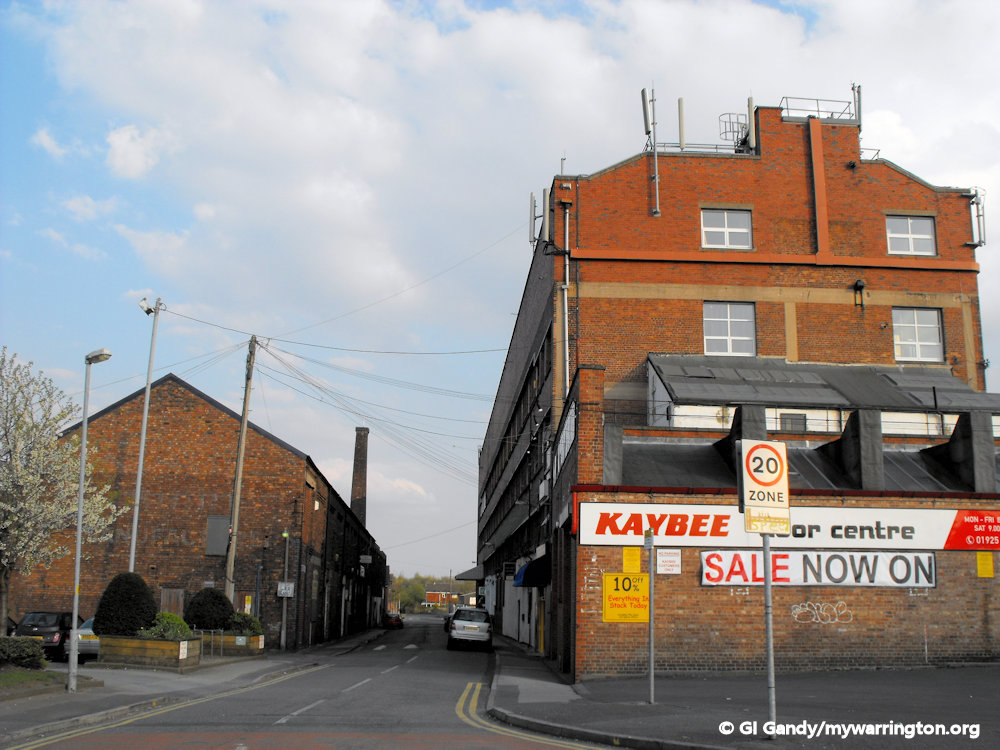
Orford Lane is the road that led from the edge of town centre, known as Town’s End, to its junction with Marsh House Lane. The district of Orford is on the west side of Orford Lane, with Fairfield on the east.
The Orford Lane district was built from the 1860s onwards, along with the terraced houses on Sharp Street, Hamilton Street, Chorley Street, Birchall Street and Forster Street, among others.
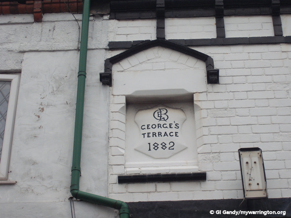
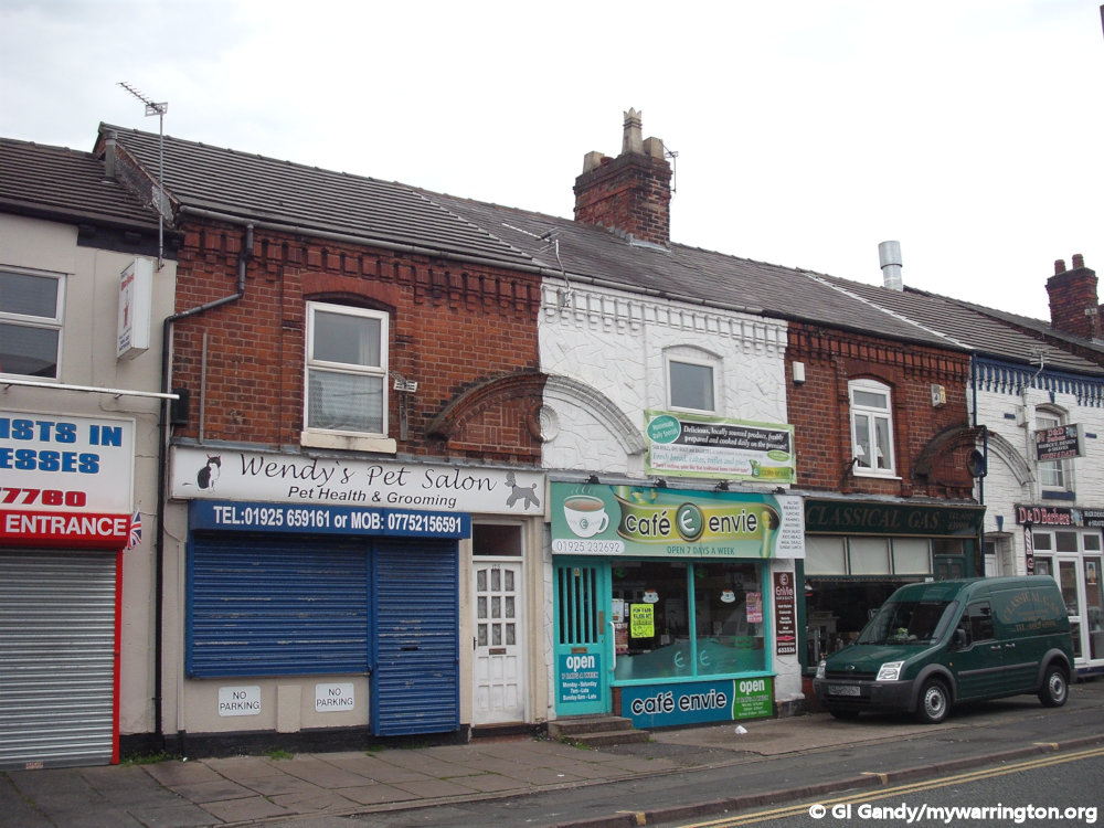
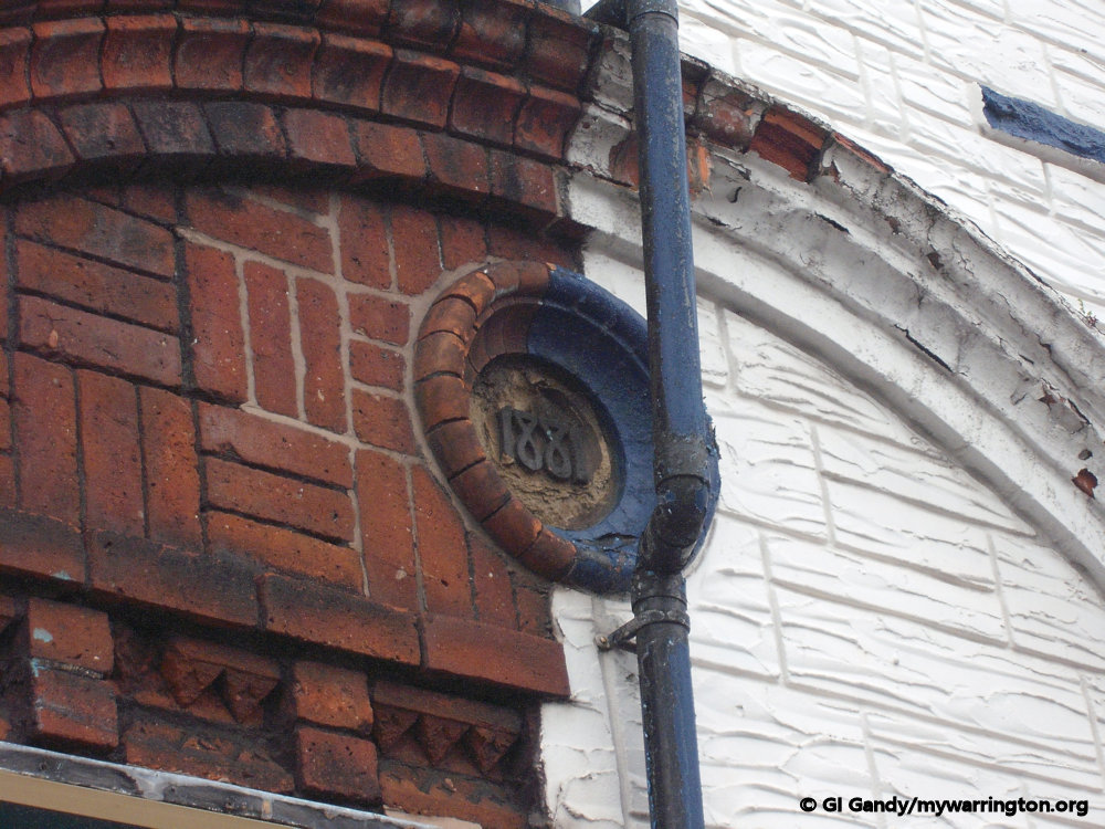
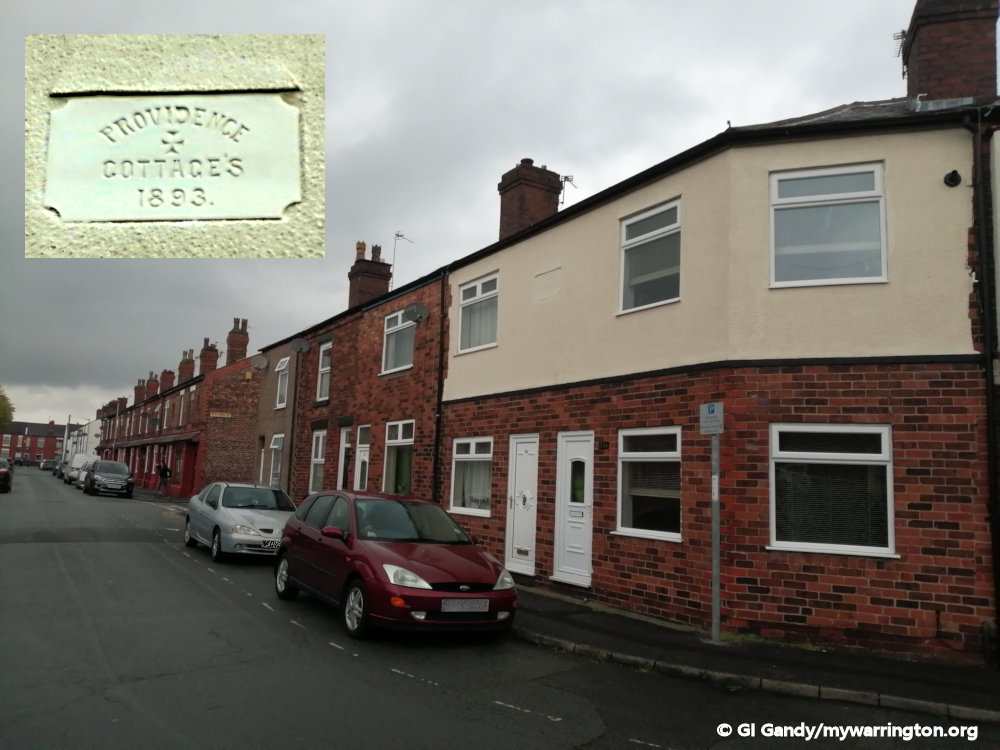
Many of the properties were given names, such as Bolton’s Terrace and South View on the Orford side of Orford Lane, with Providence Cottages on Sharp Street and Eva Terrace on the Fairfield side. They also have the date on them, which gives an instant age of the properties. Many of the buildings on Orford Lane are occupied by shops with flats above them.


Pub Life
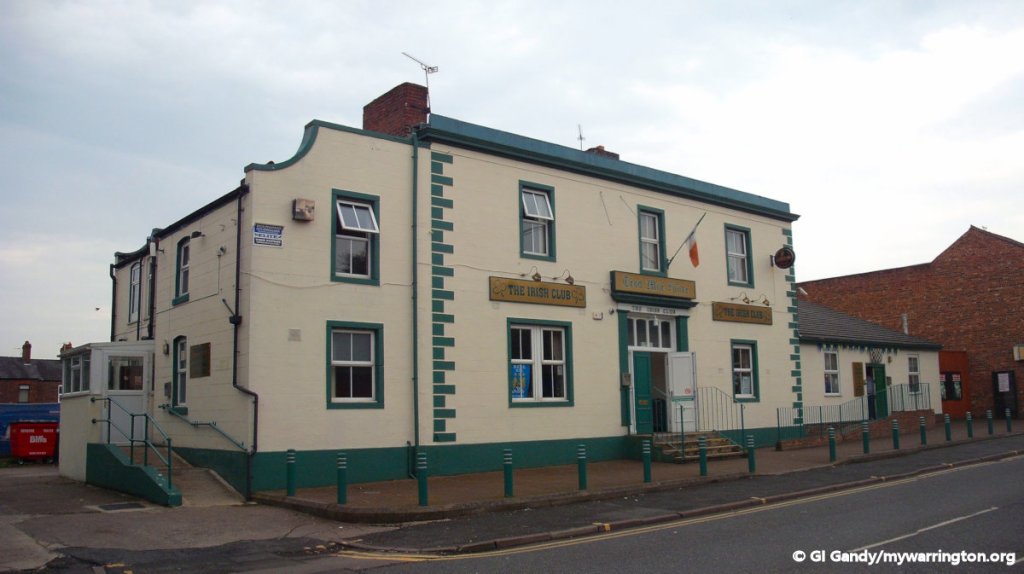
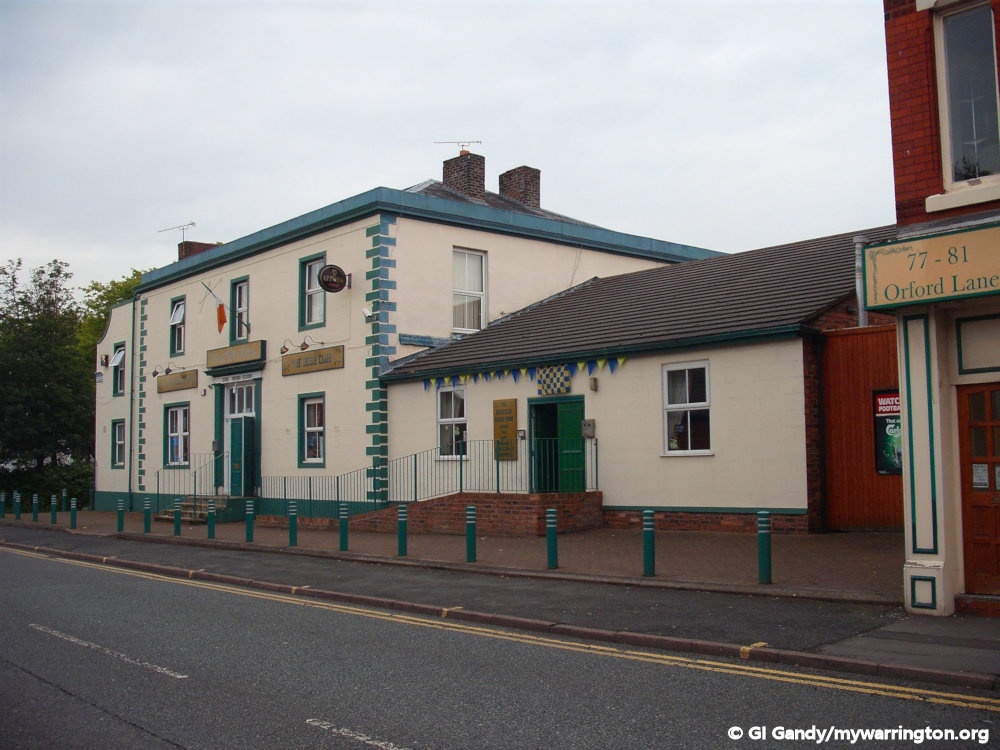
The Irish Club building was previously called Orford Lodge with John Rylands JP living here.
After the housebuilding in the area the club was occupied by various private clubs – it has served as a Conservative Club.
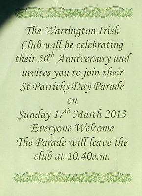
Tetley Walker Social Club also occupied the building until it relocated to Long Lane in Orford in 1962 where it remains to this day. It became the Irish Club on 17 March 1963.
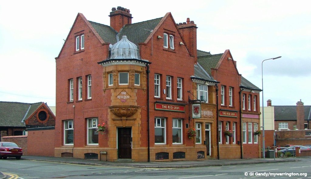
Other pubs in the district of Fairfield.
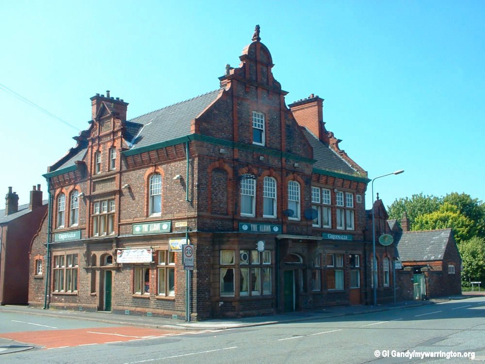
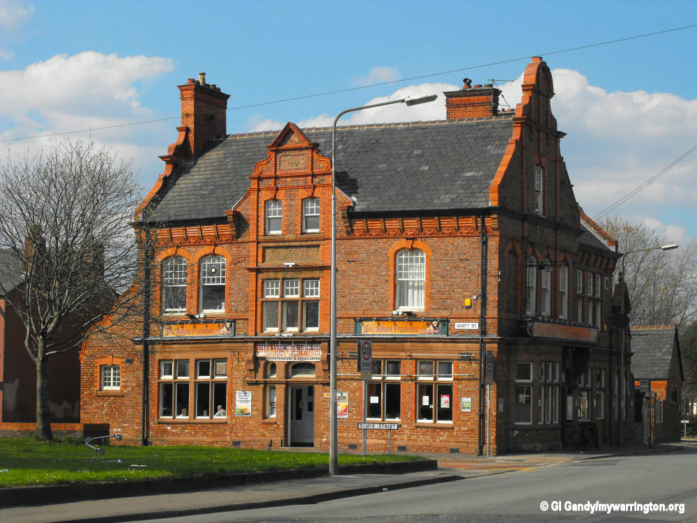
The Albion on Battersby Lane was built in 1893. Built by William and Sager Owen, it was Grade II listed in 1 June 1998.
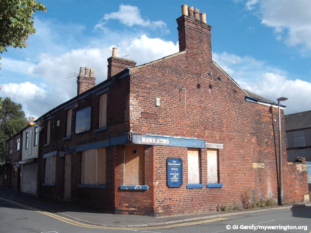
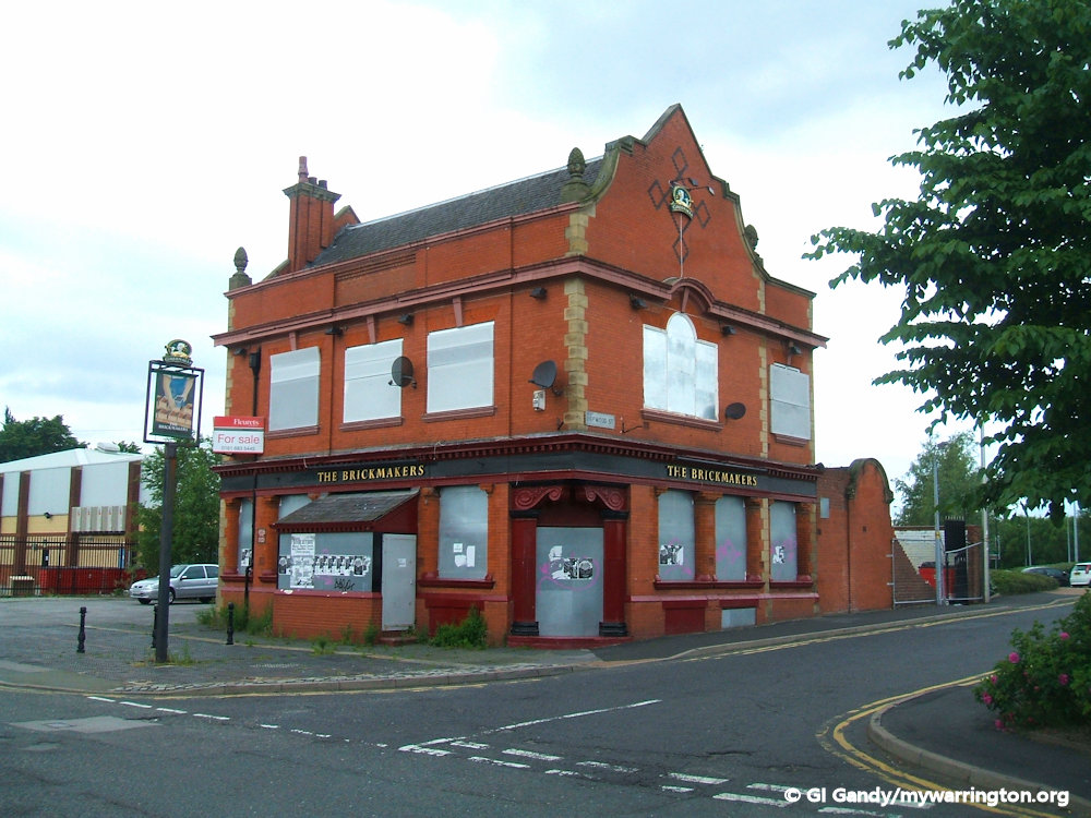
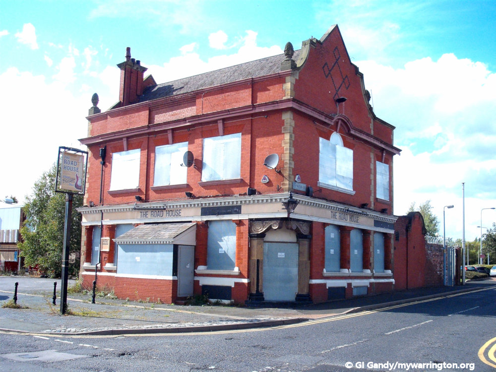
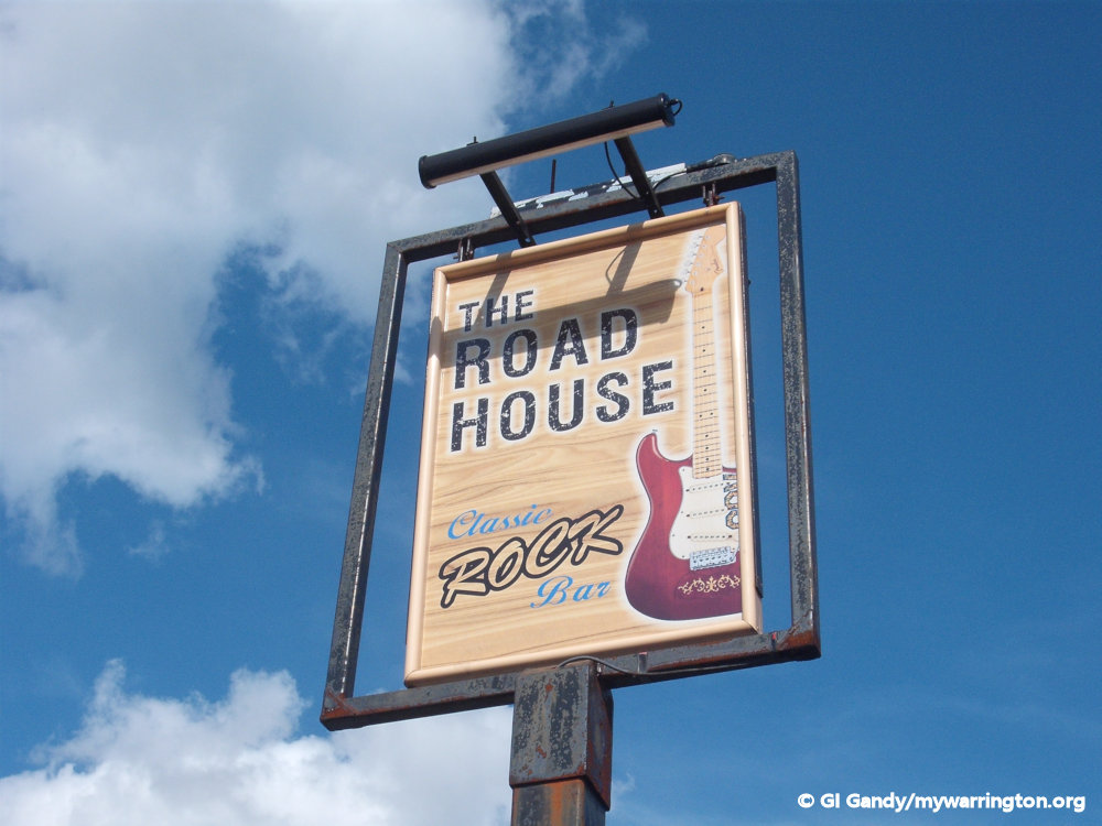
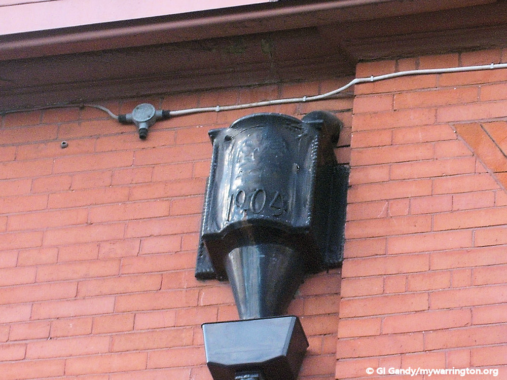
The Brickmaker’s Arms stood on School Brow. It was built in 1904 and in recent years was known as the Road House pub and also The Candy Bar. Also on School Brow was the Manx Arms, now demolished, with the site occupied by flats. Close by, and also demolished, was the Glassmaker’s Arms on Brick Street. It made way for Cockhedge Green roundabout.
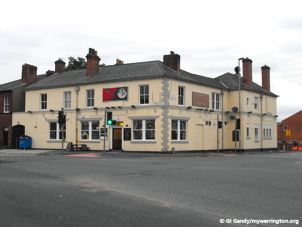
Another pub in the district is Chevy’s (later Chevy’s II) on Manchester Road opposite the cemetery. The building dates back to the 1870s and has been known by other names, including the Cemetery Hotel, the Good Companions and Formby’s, but had been vacant since the pub’s closure in 2017. It has now been demolished to make way for apartments.
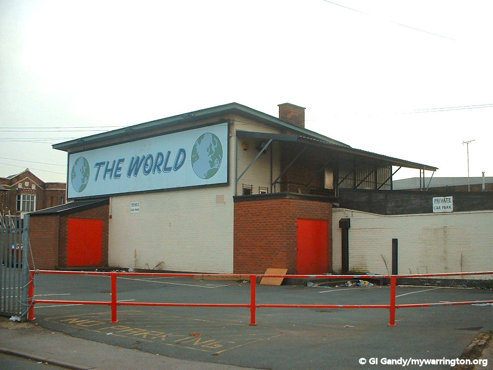
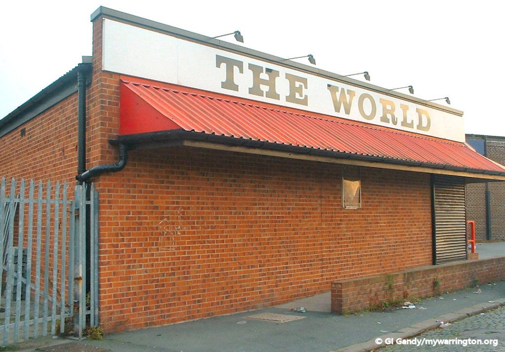
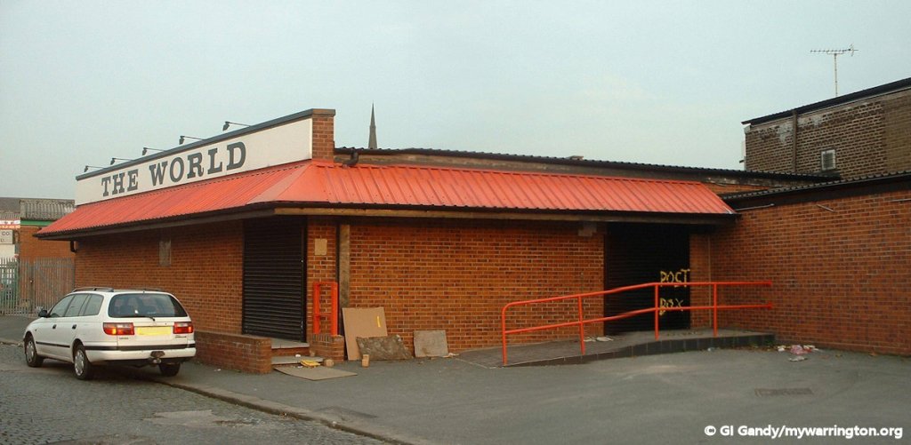
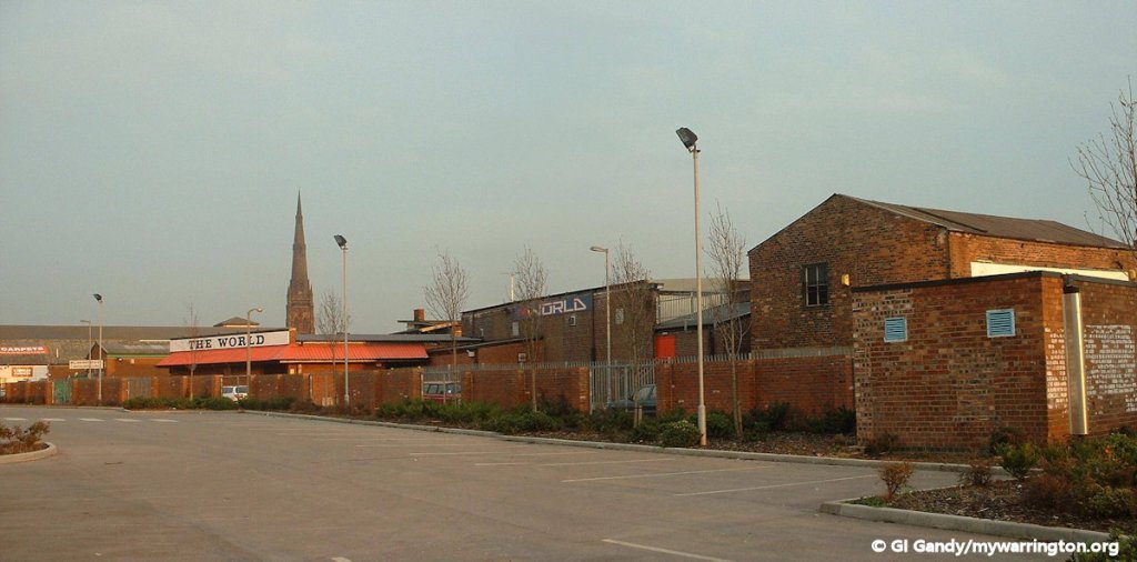
Some readers might remember The World nightclub on Victoria Street (off Fennel Street alongside the Lidl store). Apartments now occupy the site. If you have any memories of going there I’d love to publish your stories. Contact me.
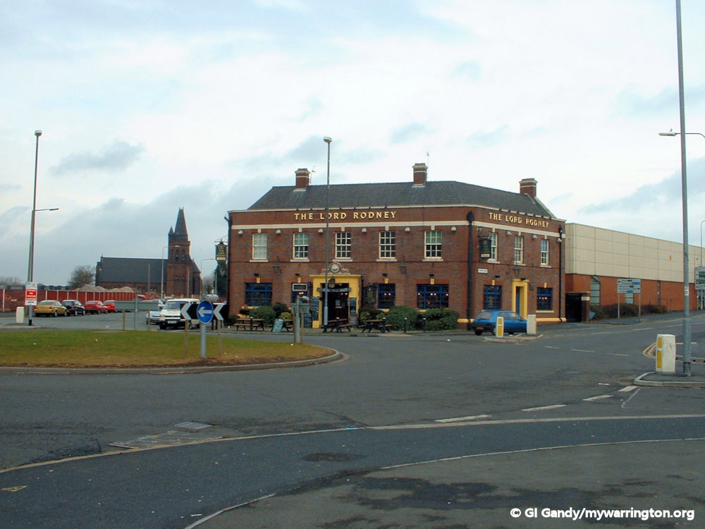
The Lord Rodney, or Rodney as it is known today, was rebuilt on the site of a pub called Admiral Rodney, which was built in 1824. Admiral George Brydges Rodney, 1st Baron Rodney, KB (bap. 13 February 1718 – 24 May 1792), was a British naval officer. He is best known for his commands in the American War of Independence, particularly his victory over the French at the Battle of the Saintes in 1782. It is often claimed that he was the commander to have pioneered the tactic of breaking the line. Read a more detailed account of his life in Wikipedia.
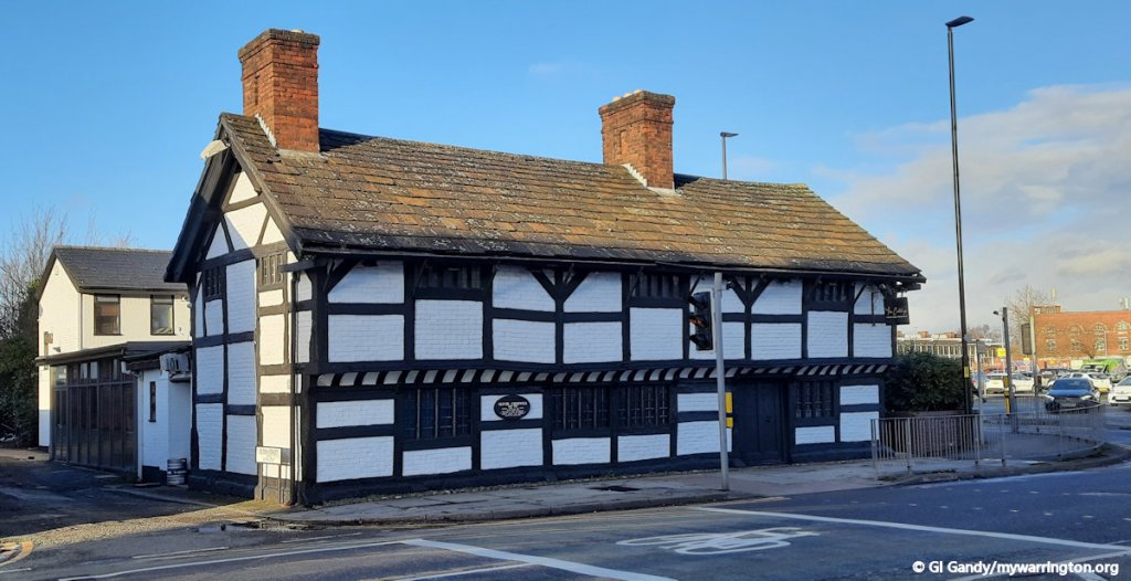
The Spotted Leopard on Church Street was more recently called The General Wolfe, but it has now been converted into a private residence. In 1648 Oliver Cromwell stayed at the Spotted Leopard pub, which stood next to the black and white building that is now the Cottage Restaurant on Church Street.


There was a pub called the Prince of Wales near Dalton Bank and School Brow. I remember having many a bag of crisps and a bottle of lemonade there after a day out with mum and dad before walking back down the Sixpenny Walk to St Peter’s Place. I don’t have a photo of it, however.
One pub I cannot remember the name of was located where St Mary’s Green roundabout is located today by Fennel Street. Can anyone remember the name of the pub? Contact me.
Alliance Box Works
Alliance Box Works started out in 1900 on Norman Street with its offices across the road on Orford Lane. The company specialised in corrugated cardboard containers and was started by Felix Maginn. He operated from a single room using second-hand equipment, but as the demand for packaging became more important he expanded the business.
Warrington Guardian reader Roger Bellamy said “I left the company in the early 60s and went onto other things within the packaging industry, by which time Alliance Box company had expanded and had a second factory in Warrington and two other factories, one in Tamworth and another in Milngavie in Scotland.
“I believe the company is now owned by the Smurfit Group the Irish packaging giant.”
My photo shows Alliance Box Works from the roof of Legh Street car park in the town centre.
The main building survives today as Evans House, hosting a variety of small businesses, as does the smaller building on the opposite side of Norman Street. Who remembers the conveyor belt linking the two buildings? The offices were demolished and a car showroom now occupies the site.

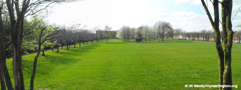
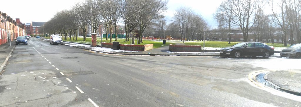
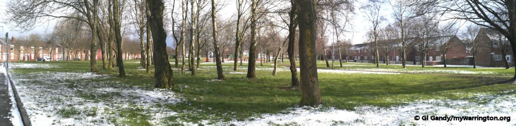
St Peter’s Park
St Peter’s Park was created after Hamilton Street school and Birchall Street were demolished in the mid-1970s. It is named after the former St Peter’s Methodist church on Birchall Street, which was demolished around the same time and is now the site of St Peter’s Court retirement home.
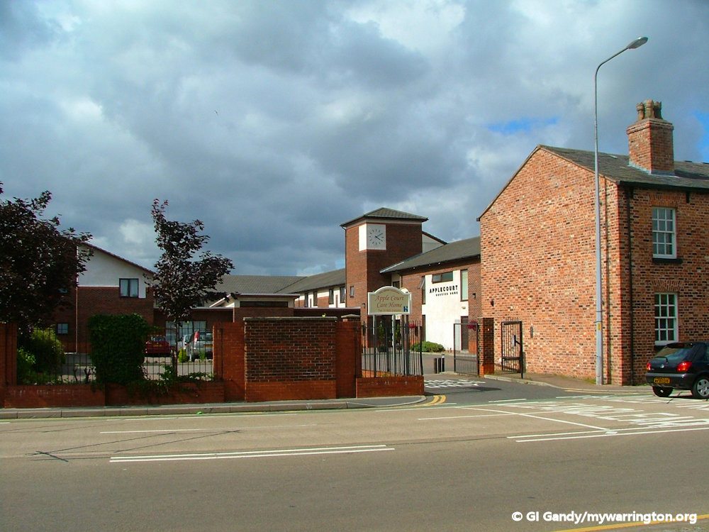
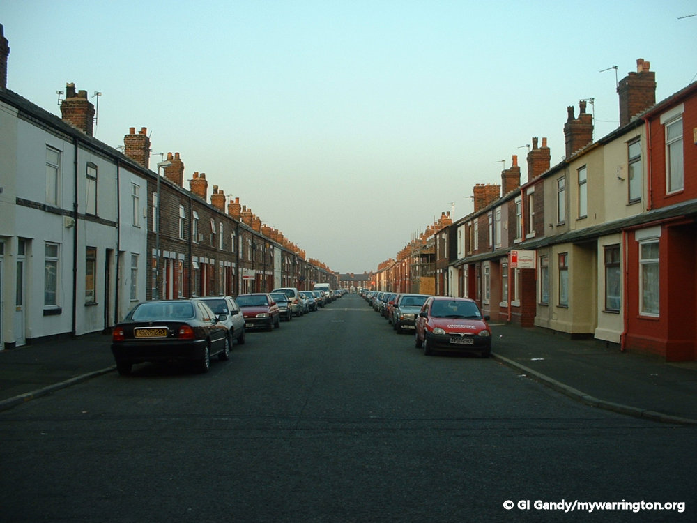
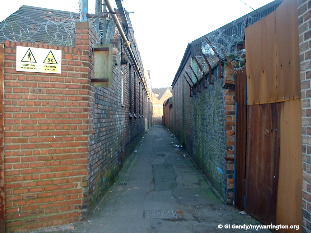
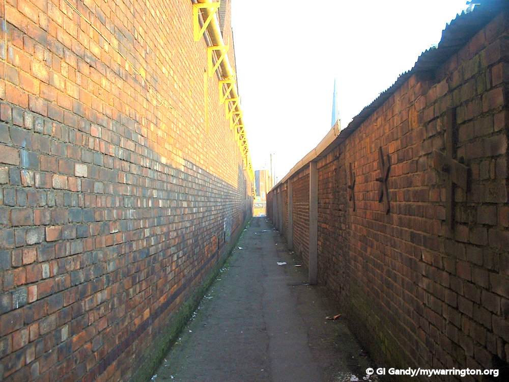
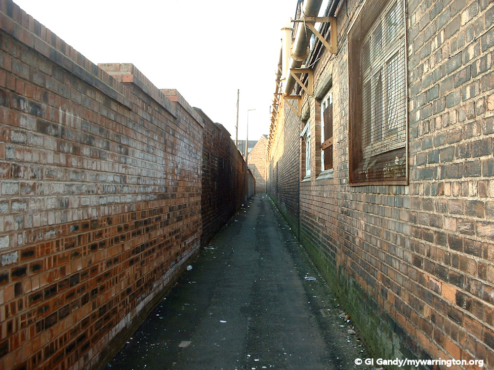
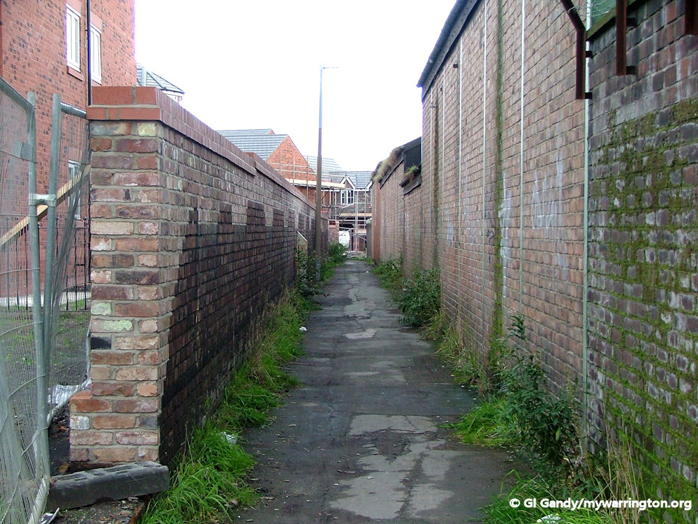
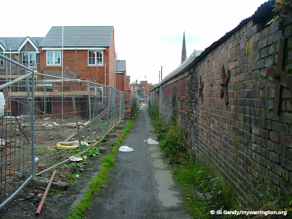
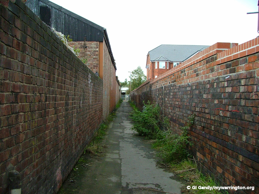
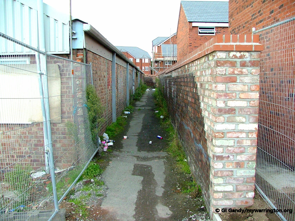
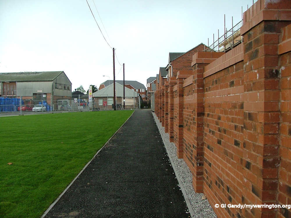
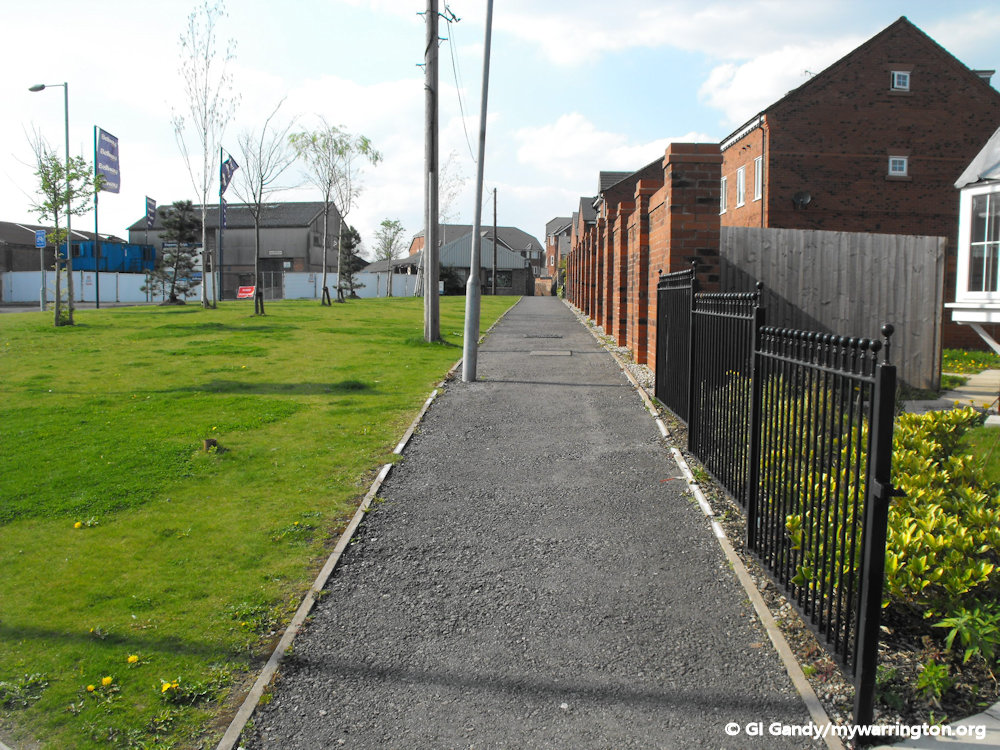
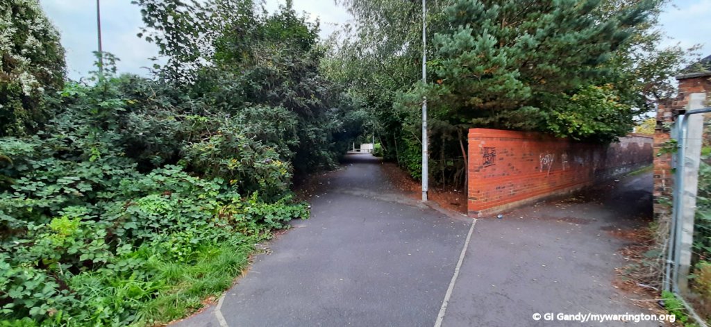
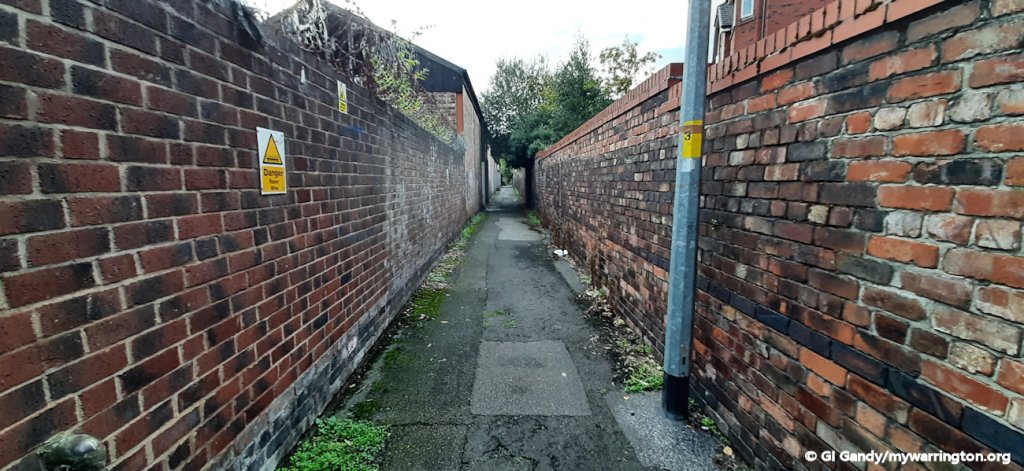
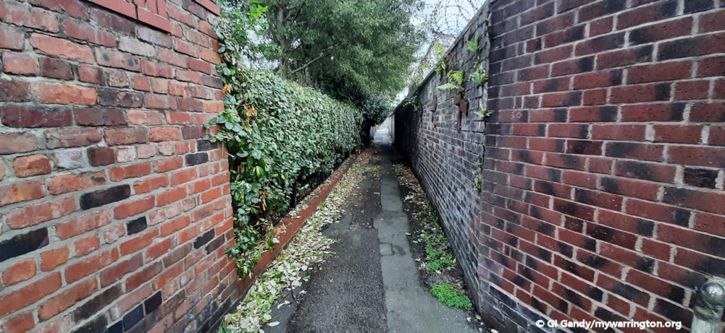
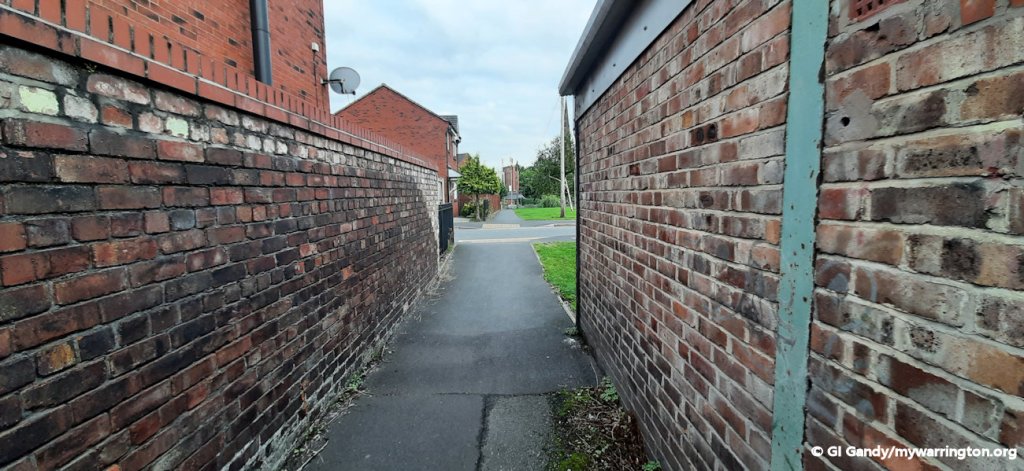
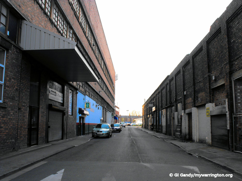
Fairfield Walkabout
A series of photos from around the district.