In 1870-72, John Marius Wilson’s Imperial Gazetteer of England and Wales described Poulton like this:
POULTON-WITH-FEARNHEAD, a township in Warrington parish, Lancashire; 2½ miles N E of Warrington r. station. Acres, 1, 233. Real property, £4,087. Pop., 672. Houses, 131. The church of Padgate chapelry, a Wesleyan chapel, and an endowed national school are here.
GB Historical GIS / University of Portsmouth, History of Poulton, in Warrington and Lancashire | Map and description, A Vision of Britain through Time.
URL: https://www.visionofbritain.org.uk/place/10761
Date accessed: 22nd July 2024

The district is the northern part of the ancient hamlet of Poulton-with-Fearnhead, which extended from the River Mersey to Houghton Green near Winwick, and is a civil parish located in north-east Warrington. The parish includes northern and eastern suburbs of Warrington, including Padgate, Fearnhead, Cinnamon Brow, Blackbrook, Longbarn, Bruche and Paddington.
See the Parish Council website for a map of the area as it looked in 1905.
Poulton
Polton, 1093–4, 1246; Pulton, 1147, 1155; Poulton, 1285.
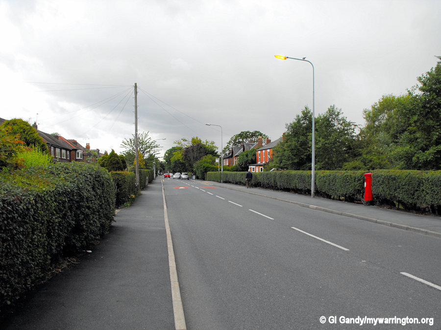
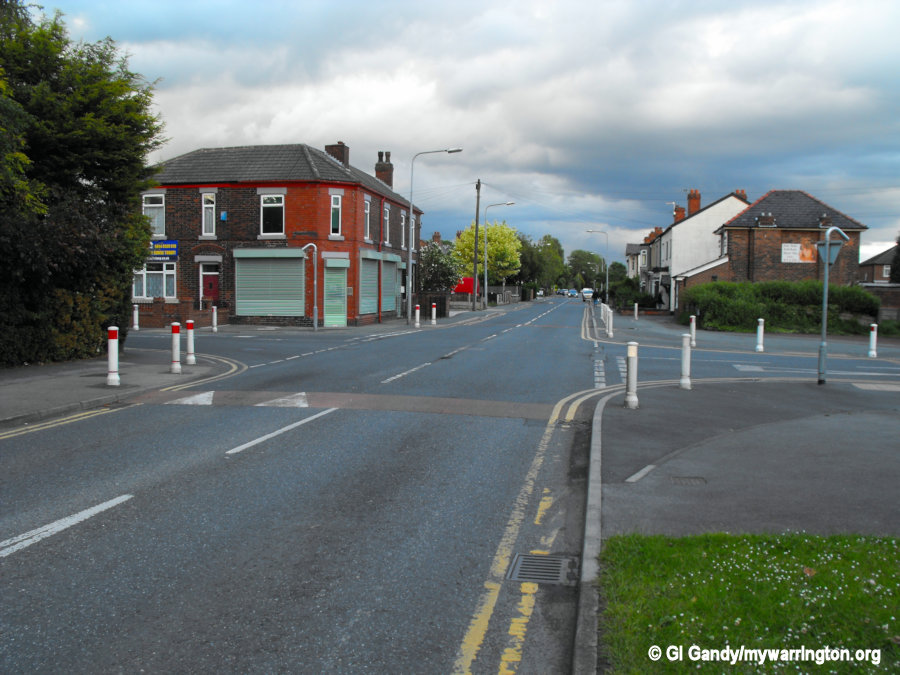
Poulton-with-Fearnhead is situated in an uninteresting country, flat and devoid of trees. There is nothing picturesque enough to induce the passer-by to revisit the neighbourhood. There are open fields where various crops are cultivated, including potatoes, turnips, clover and corn.
Poulton village stands upon the old highway between Warrington and Bolton, formerly known as ‘Padgate’, which has given its name to the brook dividing the township from Warrington.
Fearnhead, on the north, was formerly described as a hamlet of Poulton, but in the thirteenth century was part of Woolston.
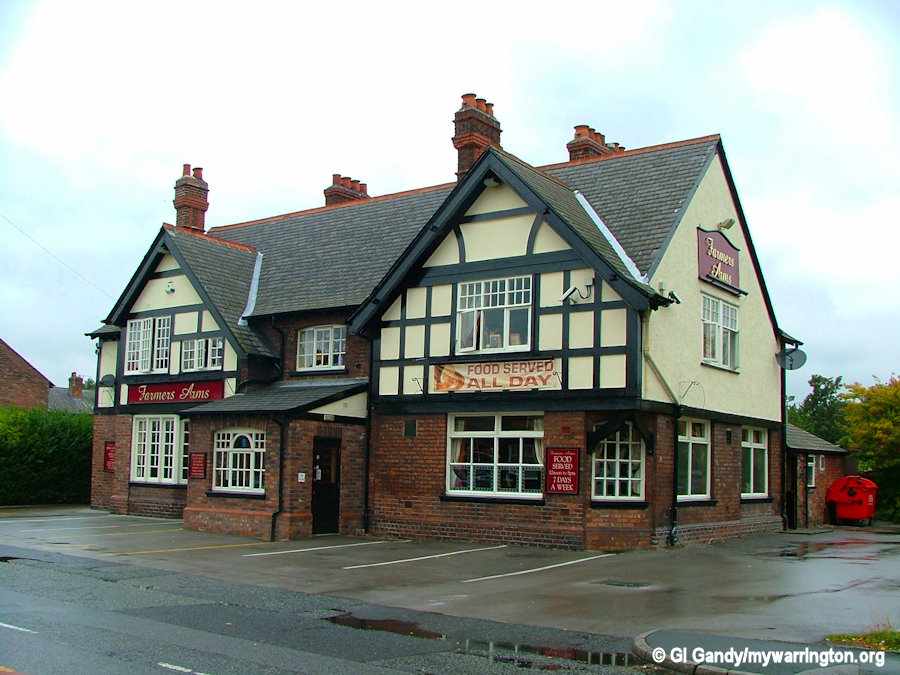
The Farmer’s Arms pub on 31 Aug 2007
POULTON was given by Count Roger of Poitou in 1093 or 1094 to the abbey of St. Peter of Shrewsbury, and before the end of the twelfth century, the manor appears to have been acquired from the abbey of Shrewsbury by Robert Banastre, first lord of Makerfield.
It is recorded in 1432 William Bruche was adjudged to give Nicholas Risley a hogshead of wine or 2 marks as the result of an award made between them and their respective sons, concerning trespasses committed between them.
Another person mentioned in the story of Bruche was Thomas Norris in 1576, with lands in Orford and Warrington, who owned the manor for a time.
The records also tell us of Roger Bruche who was involved in dicing, gaming and cockfighting. Early in 1590 Peter Legh of Bradley, his kinsman and master, discharged his debts, then amounting to £200.
The estate was sold early in the last century by William Bankes of Winstanley, and was acquired by Jonathan Jackson, sailcloth manufacturer of Warrington. In 1820 soap works were erected upon a portion of the Bruche estate, to which the name of Paddington was given, by Robert Halton, whose partner Mr. Jackson became in 1821.
Text used with kind permission from British-History.ac.uk
Fearnhead
Ferneheued, 1317, 1382–3; Fernyhede, 1414; Fernehead, 1530.
Text used with kind permission from British-History.ac.uk
The name Fearnhead comes from two words “Fearn” and “haefod” meaning fern and hill respectively, so the name means “a fernclad height”. Fearnhead Cross (see photos, right) at the junction of Fearnhead Lane/Insall Road/Cinnamon Lane/Station Road North is so named because it was once the location of a roadside cross. It is not known whether this was a market cross or a preaching cross, but both types were used as a meeting place.
FEARNHEAD was anciently an area mainly consisting of wood, waste and moss, which in process of time was brought into cultivation by the tenants of the manor of Poulton.
Richard de Fernyheued is mentioned as a contemporary of Henry de Bruche. In 1382–3 Maud del Fernyhed gave a parcel of land in Ferneheud to Matthew de Southworth, and in 1414 Richard son of Adam de Fernyhede gave all his lands in Fernyhede hamlet and Woolston to feoffees (a feoffee is a trustee invested with a freehold estate to hold in possession for a purpose, typically a charitable one). In the year 1400 John de Southworth and Jane his wife were described as of Fearnhead.
A lease of Sir John Southworth’s lands here in 1509 names Peys Croft, Heathey, Maben Ridding and Romescrymoll. In 1530 John Fernehead possessed lands in Fearnhead, which he held by a free rent of 8s. 9d. of Richard Bruche.
The will of Richard Fearnhead of Fearnhead, yeoman, was proved in 1604, and that of Thomas in 1642, but the family did not continue to be landholders here much later. Roger Bruche of Bruche and John Heapy of Fearnhead were freeholders in 1600.
Fearnhead Today
From northwards clockwise, it borders the parishes of Croft (at a point on a motorway junction), Birchwood, Woolston, the unparished area of Warrington, then the parish of Winwick. In England, an unparished area is an area that is not covered by a civil parish (a small administrative division of local government).
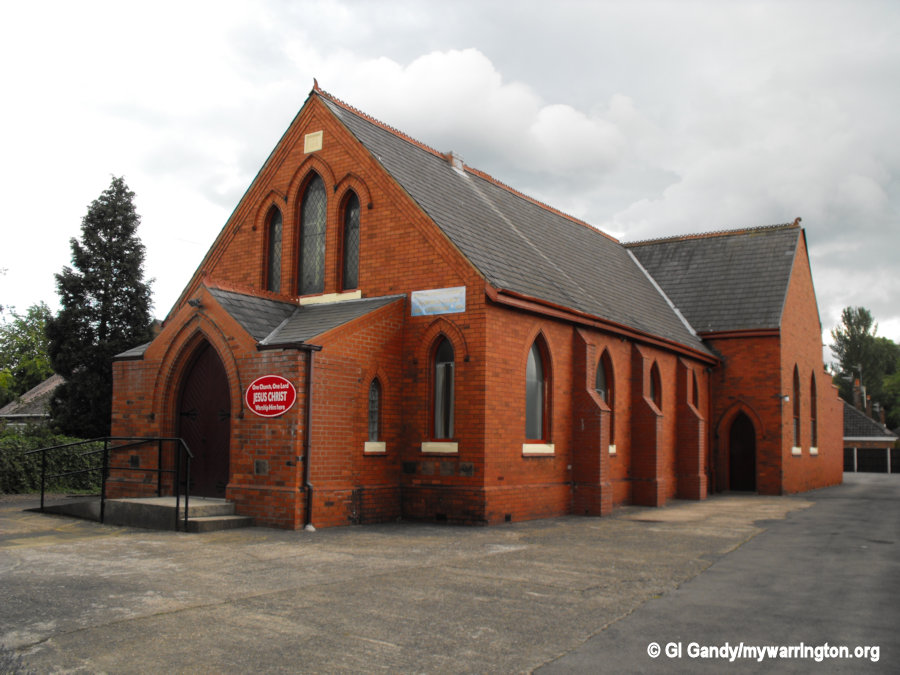
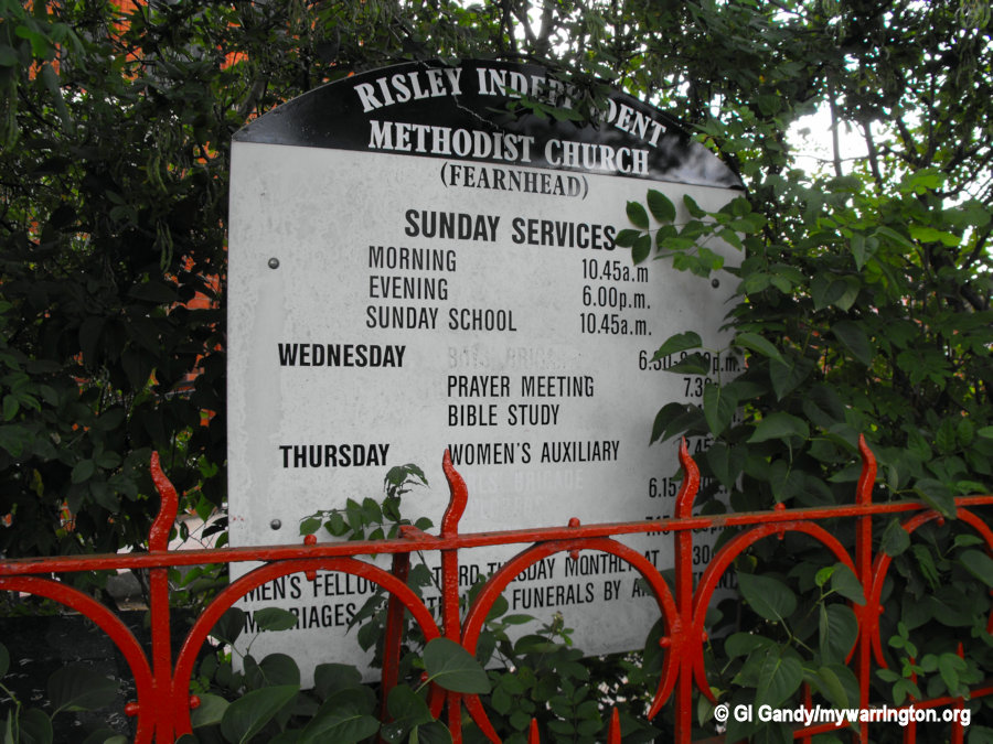
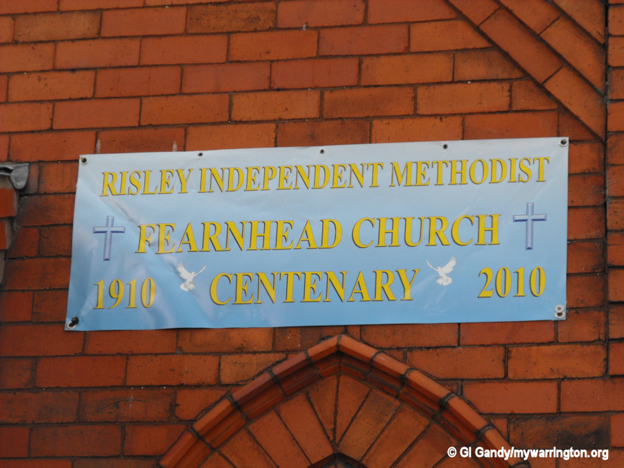
Risley Independent Methodist Church
The chapel on Fearnhead Lane celebrated its first centenary in 2010. The building was a replacement for the original chapel. The fellowship started out in 1806. Read a more detailed history on their website where I learned that the land for the chapel in Fearnhead was provided free of charge by a local landowner called Edward Gandy. I don’t know if there is a family connection.
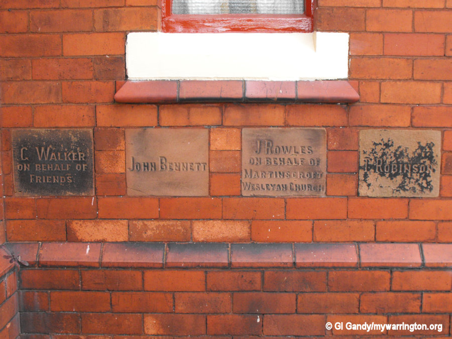
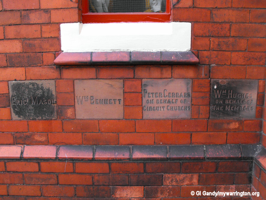
Building started as soon as most of a fundraising campaign was completed, with addition funding from a £300 mortgage. The report also states that some of the people who helped to fund the building work are the ones whose names are engraved on the stones in the photos you see here.
Also on their website are photos of the chapel being built and other images you might find interesting.
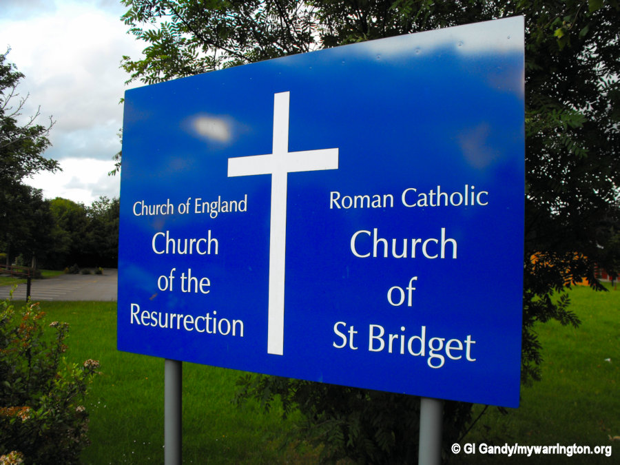
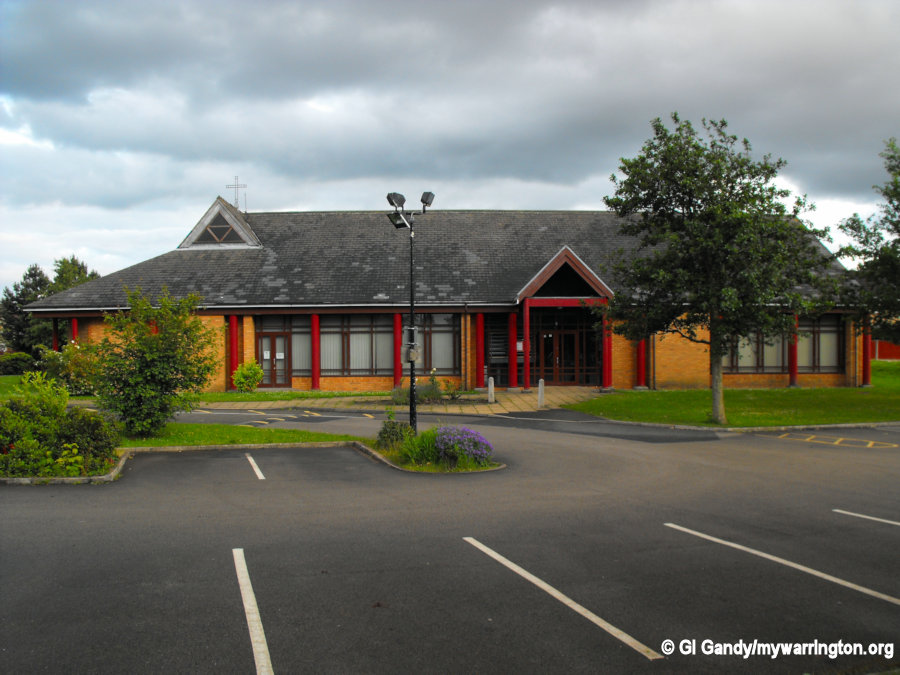
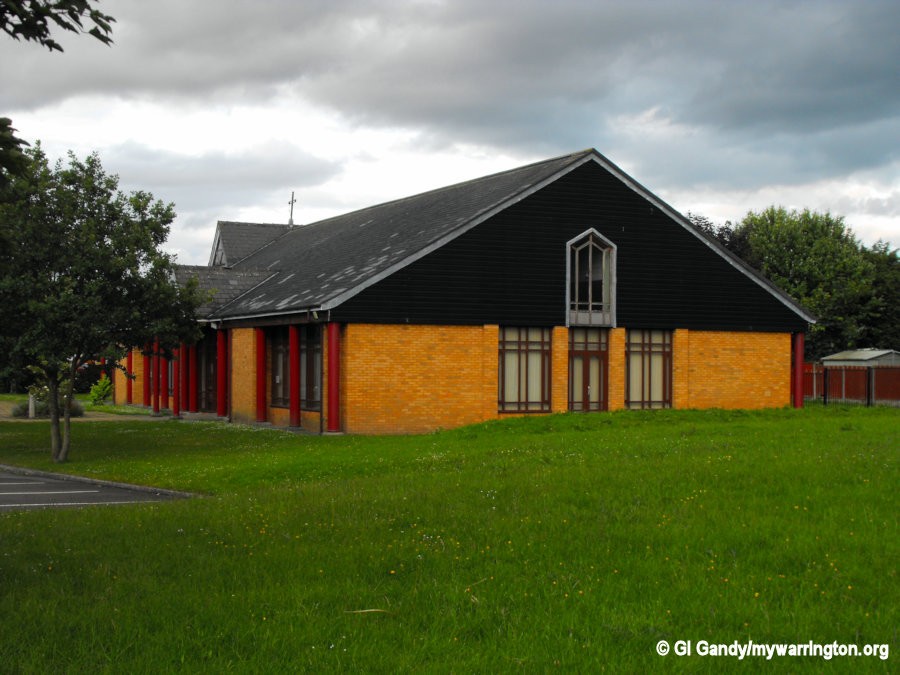
The Church of the Resurrection and St Bridget
The church dates from 1988 when the foundation stone was laid on land originally intended for a Roman Catholic church.
But the idea of a joint church was born in 1984 when Bishop David Shepherd, the Anglican Bishop of Liverpool, and Archbishop Derek Warlock, RC Prelate of Liverpool, put forward the proposal. They were close friends with a common philosophy of “better together.” The project was discussed and approved by both congregations.
The church building is of a modern design and was built to serve a growing population in the area as a result of the Warrington New Town during the late 1960s. It is rectangular in plan, built of buff-coloured brick with a pitched and slated roof brought down onto metal columns.
Due to running costs and a dwindling congregation the decision was made to close the church. The final service at the church was scheduled for Sunday, 13 November 2022 at 9.30am. Its future was yet to be decided.
The report here comes from Warrington-Worldwide dated 21 October 2002.

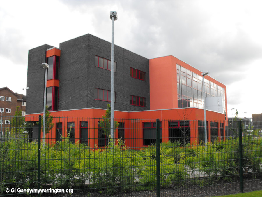
Padgate Training College/University of Chester
Padgate Training College (which is actually in Fearnhead) was created in 1949. Before that the buildings and land were used as a camp for Canadian servicemen during the Second World War.
The site was occupied by the University of Chester, Warrington campus until it moved into Time Square in Warrington town centre (opposite Warrington market). Read more here.
Warrington Wolves rugby league club use the facilities at the university campus for their training sessions for many years.
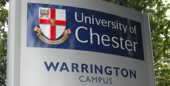

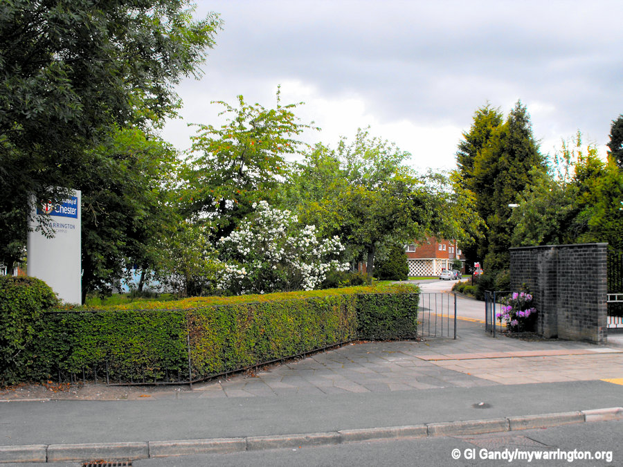
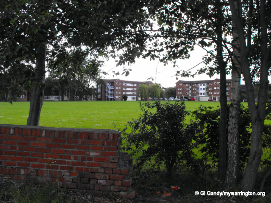
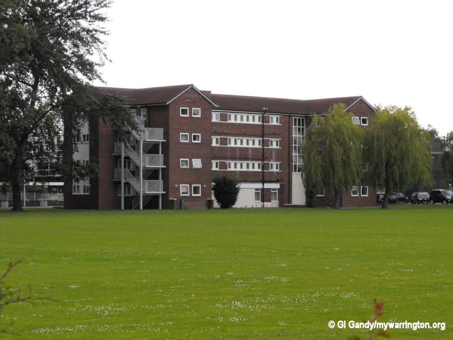
The University of Chester Warrington Campus, Fearnhead on 8 June 2011
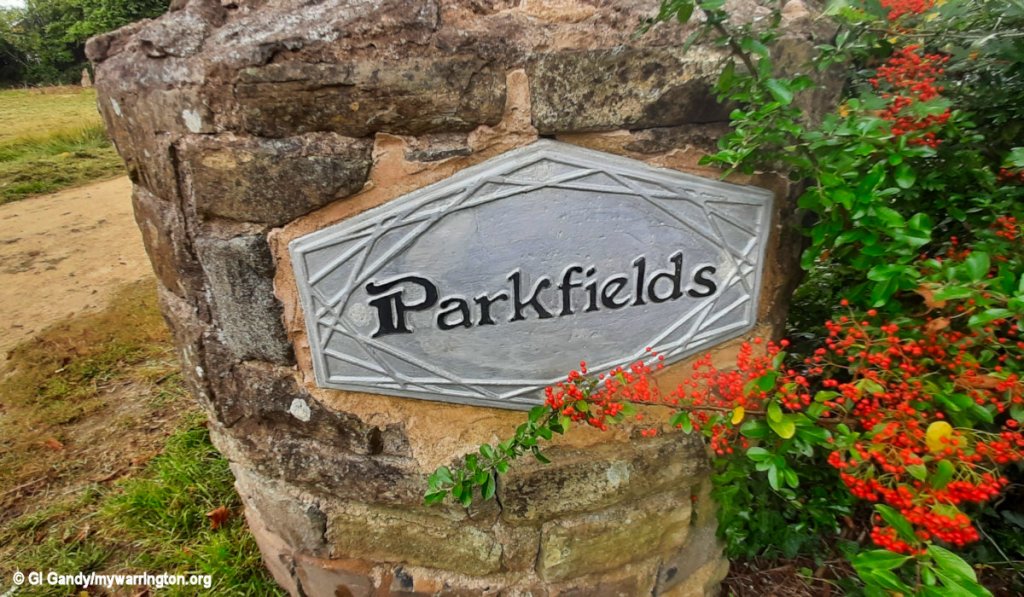
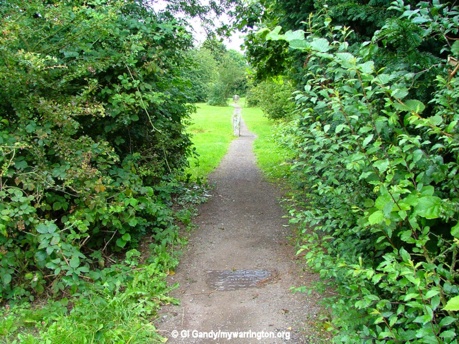
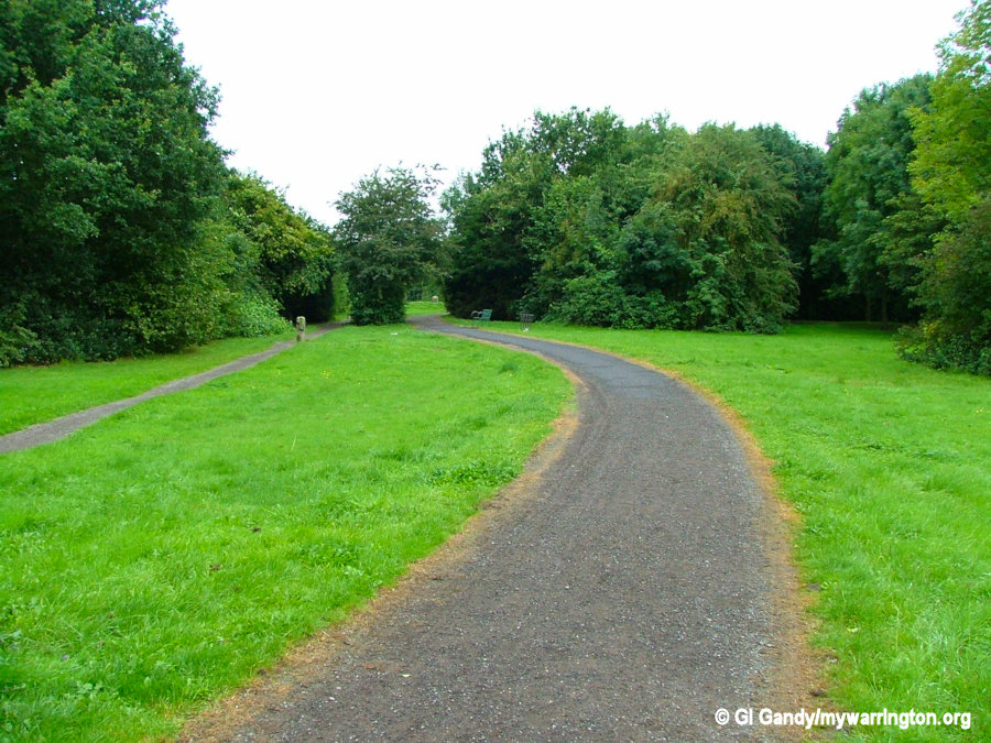
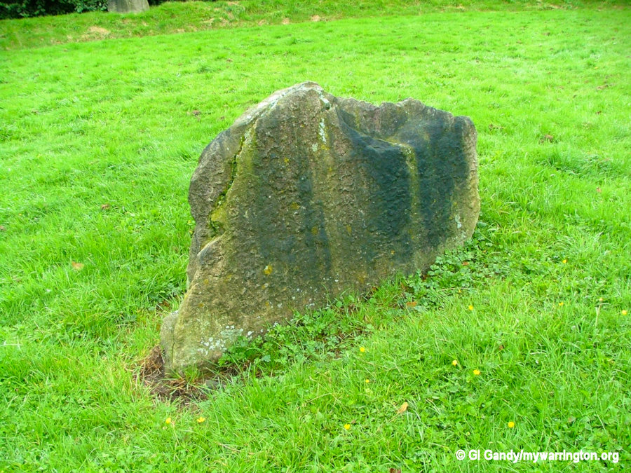
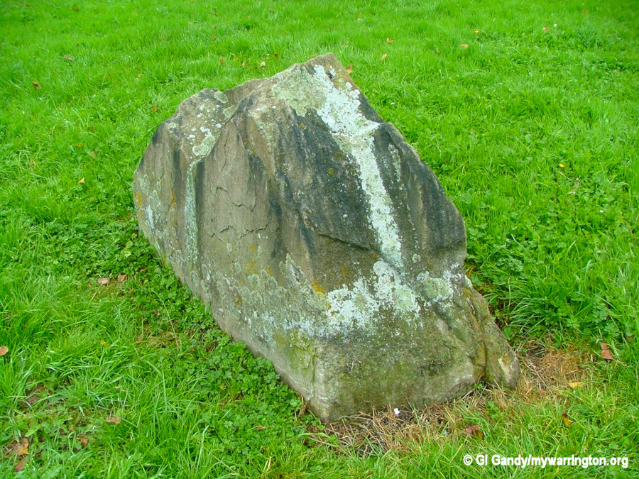
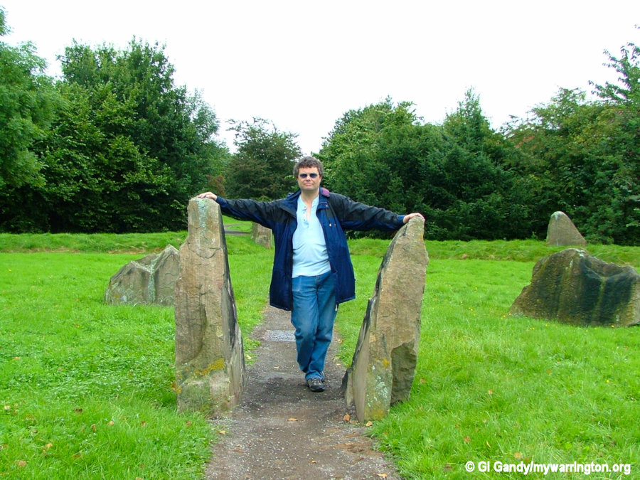
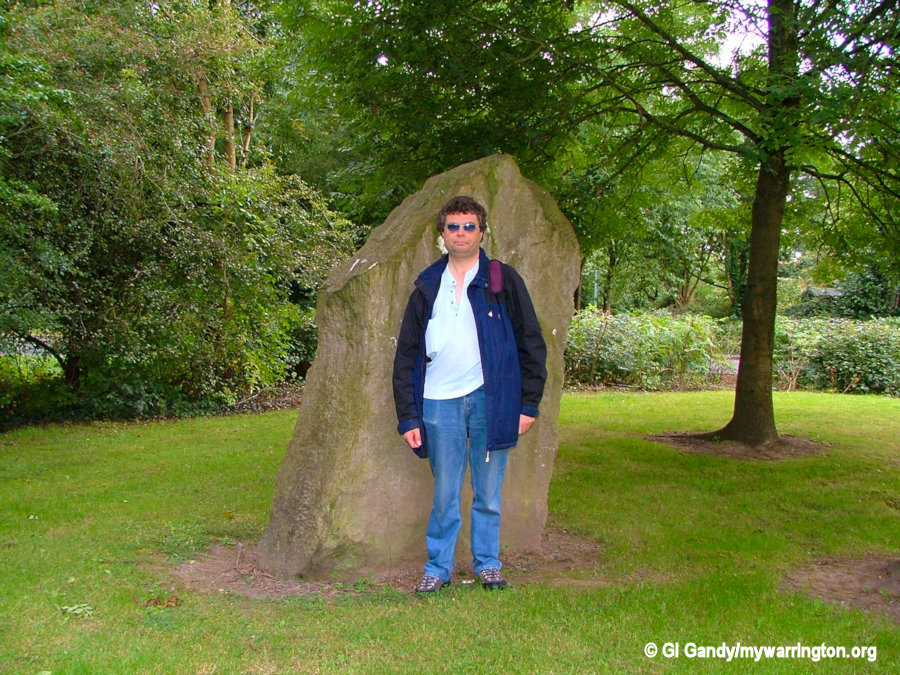
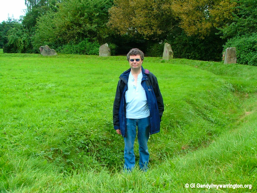
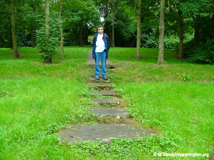
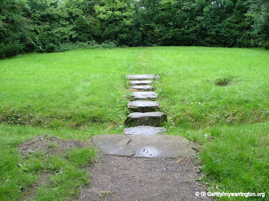
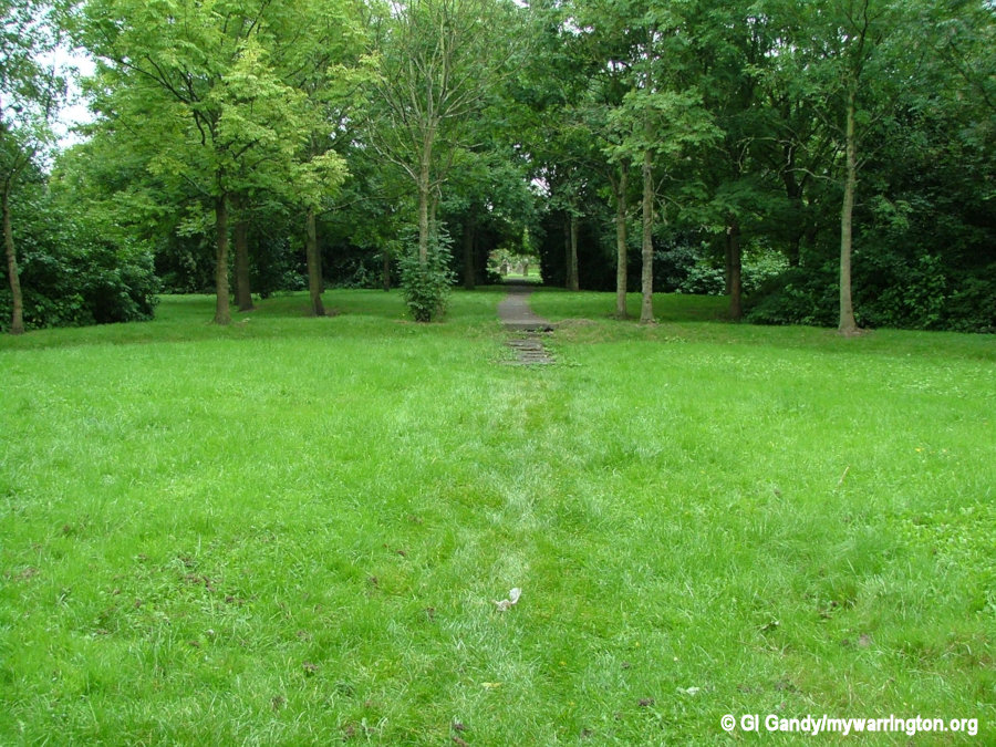
Parkfields
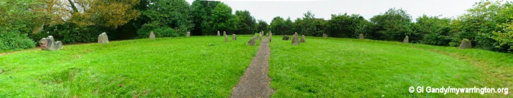
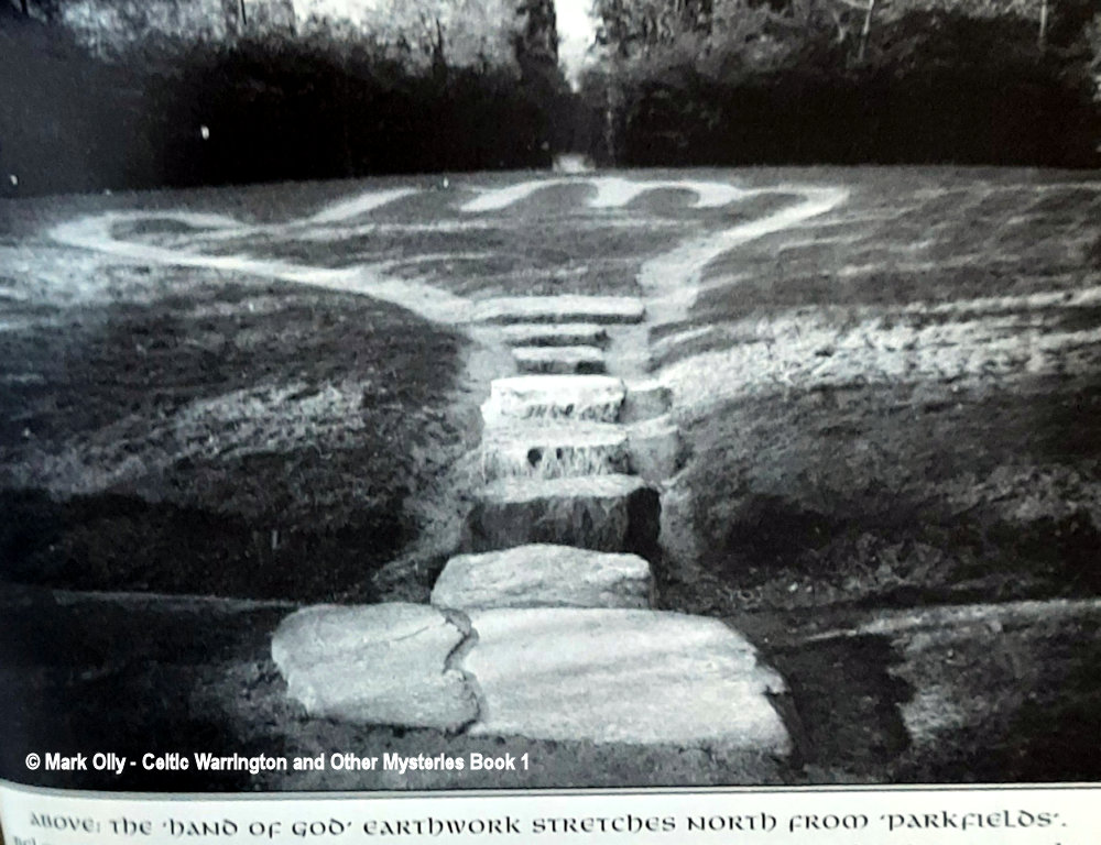
Located behind the Farmers Arms pub is Parkfields Park, a complex of stones, ditches and mazes. The stones were quarried in the Pennines and are a great place to get in touch with your Celtic spirit. These were created during the seventies to illustrate how pre-historic stone circles looked.
In recent times they had fallen into a state of disrepair and were tidied up in March 2012. The black and white photo shows the ‘Hand of God’ and is taken from Mark Olly’s book “Celtic Warrington and Other Mysteries” published by Churnet Valley Books. Photos taken 31 August 2007.