Hood Manor is a district in the west of the town close to Old Hall. In 1905 the area contained fields and farmland either side of Hood Lane. The Sankey (St Helens) Canal formed the eastern border of those fields with Sankey Brook further east. Located to the northeast of the bend in Hood Lane was Sankey House.
Hood Lane is now cut in two by the east-west A57 Sankey Way, with the northern section called Hood Lane North and the southern section retaining the original name of Hood Lane. Laburnum House Farm was located on Hood Lane where Crosfields Recreation Ground is today, close to Sankey Way. In 1905 there were just seven dwellings on that northern section of Hood Lane, opposite the farm entrance.
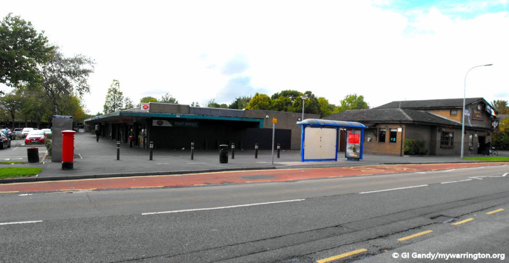
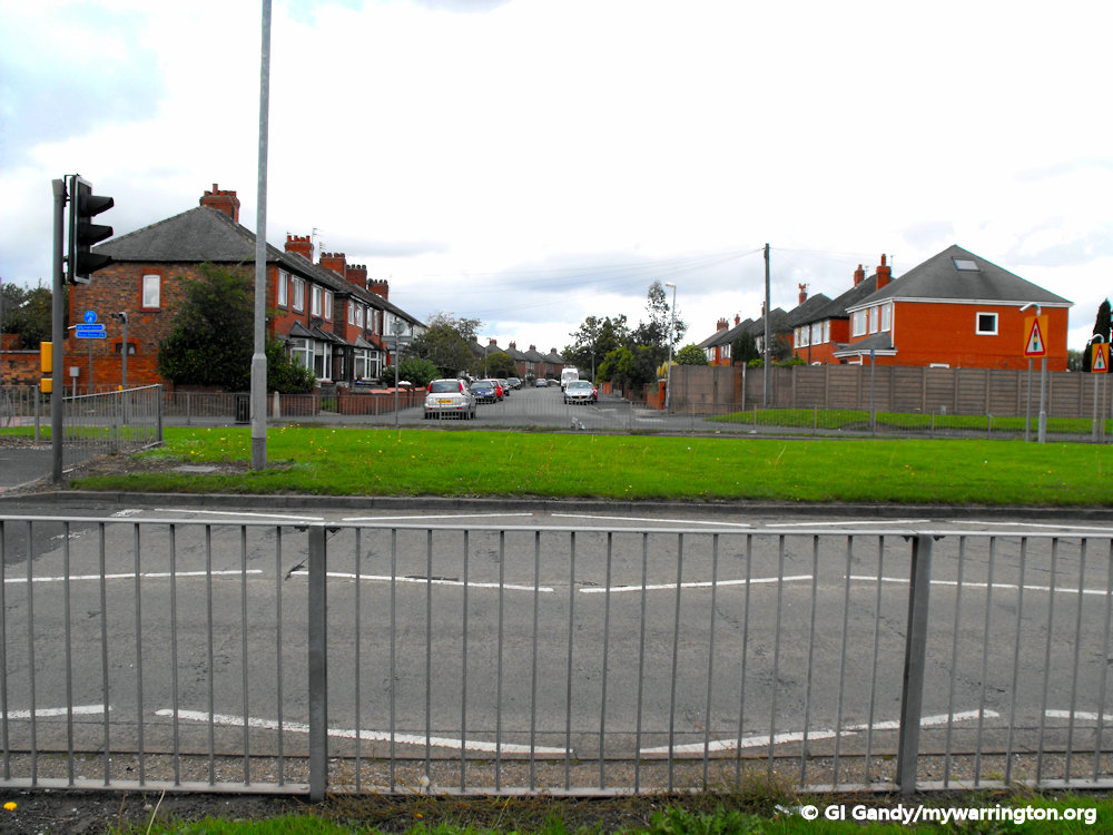
Hood Manor local centre featuring shops and the Sankey Arms pub, on 14 September 2011.
The main area of the district today is a housing estate with a local centre, which includes a pub (The Sankey Arms), shop, post office, doctor’s surgery, Sankey Valley St James Church of England Primary School and Hood Manor Methodist Church.
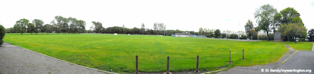
Hood Manor Youth Centre is based at the Crosfield’s Recreation Ground. The estate was developed in the second half of the 20th century. St James CofE Westbrook church is located on Canons Road.
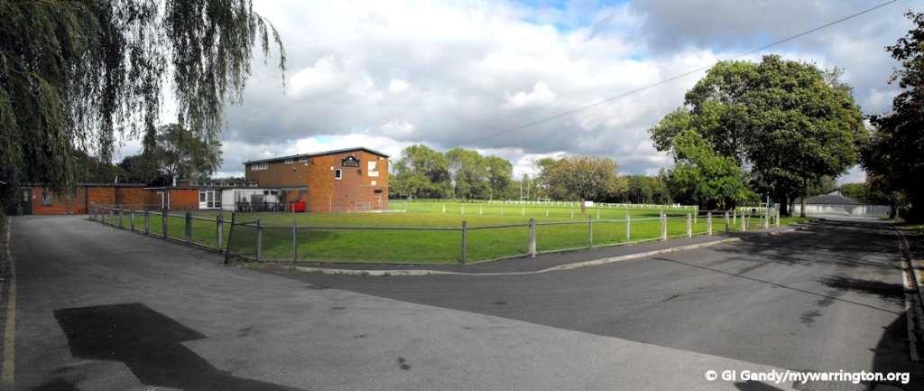
Crosfield’s Recreation Club on 14 September 2011
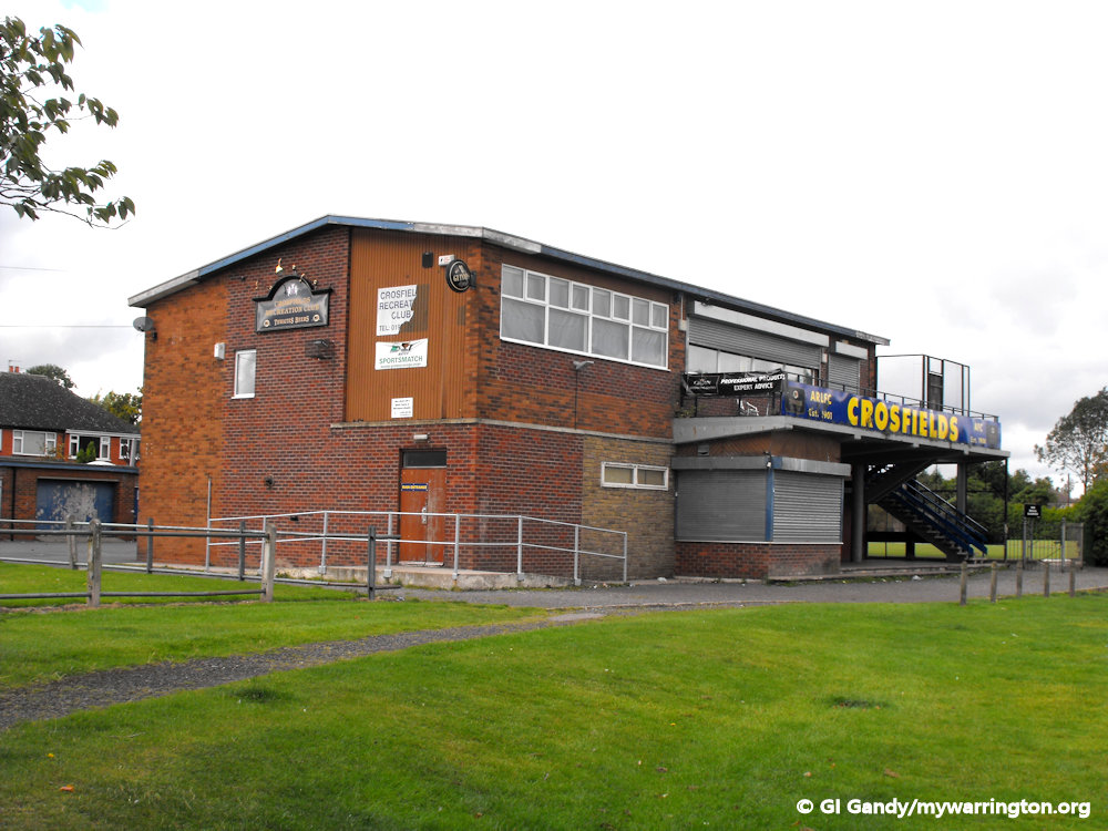
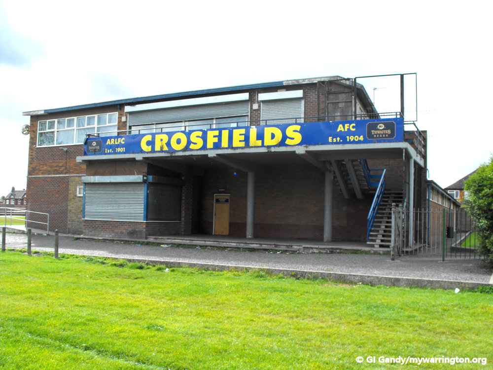
Crosfield’s Recreation Club 14 Sep 2011
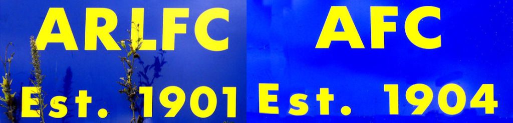
As can be seen from the image below, both the rugby league and football clubs were established in the early 20th century.
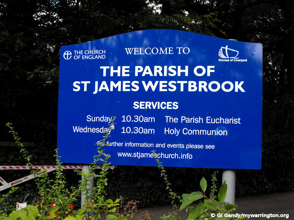
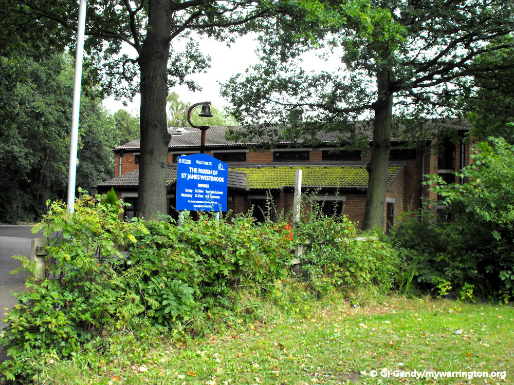
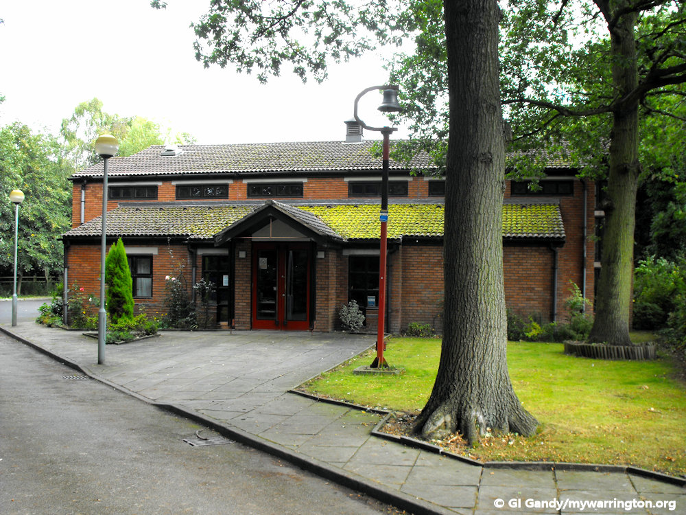
St James Church of England Westbrook is based on Canons Road.
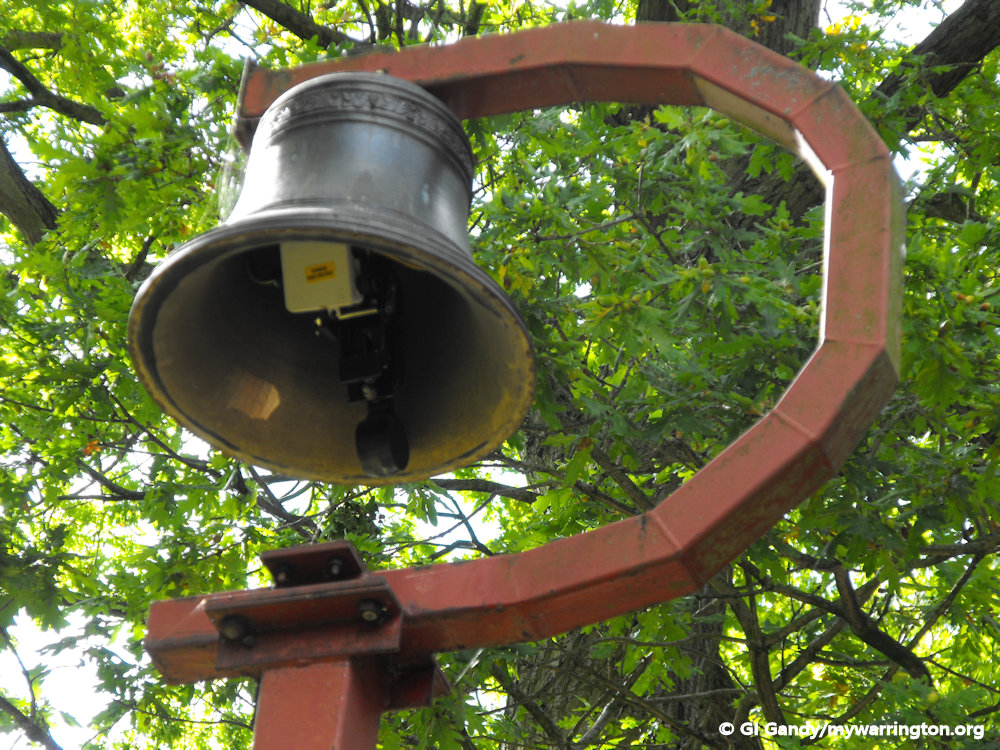
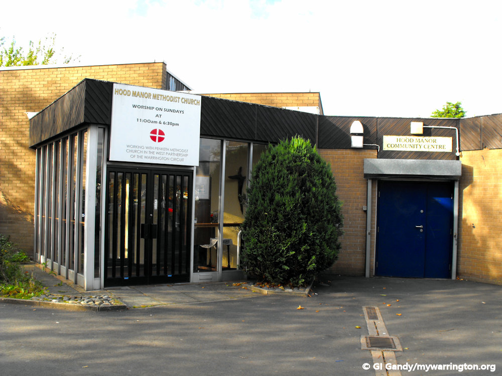
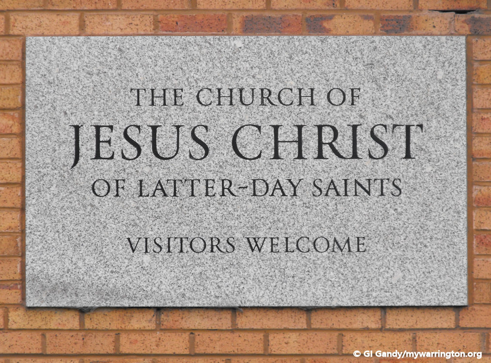
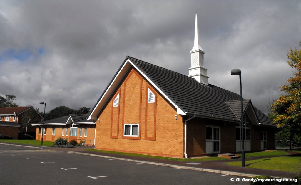
Two other church groups in the district are Hood Manor Methodist church on Raikes Close and The Church of Jesus Christ of Latter Day Saints, commonly known as the Mormon church, on Payne Close.
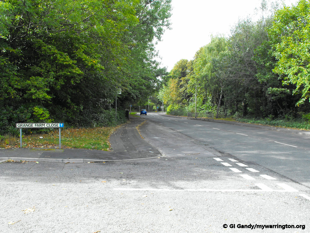
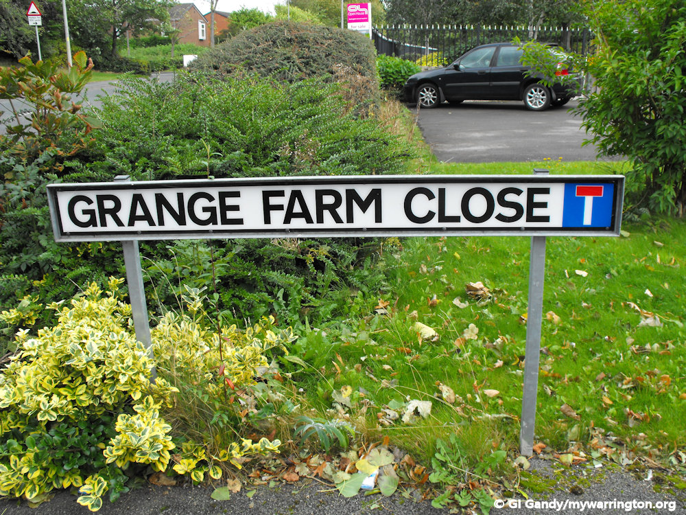
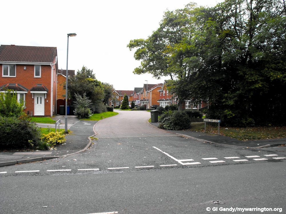
Here are photos of the house on Grange Farm Close, built on the site of Grange’s Farm.
St Gregory’s RC High School is located to the east of the Hood Manor area on Cromwell Avenue. The Tim Parry Johnathan Ball Peace Foundation centre is next to the school on Peace Drive.
Just north of the school site in 1905 was Grange’s Farm, which was accessed from Hood Lane, close to where Canons Road is today. Grange Farm Close is named in its memory.
Burtonwood Road off Hood Lane North was called Cow Lane on the 1905 map of west Warrington. Sankey Green Farm was located to the north-east of the junction of Sycamore Lane, Hood Lane and Burtonwood Road on the north-eastern side the railway line.
Farmleigh Gardens is the road closest to the spot today. Chapelford Urban Village is now built on part of that farmland.
Until recent years, accommodation for the American service families at RAF Burtonwood was located in the west of the district. New housing has now replaced those buildings.

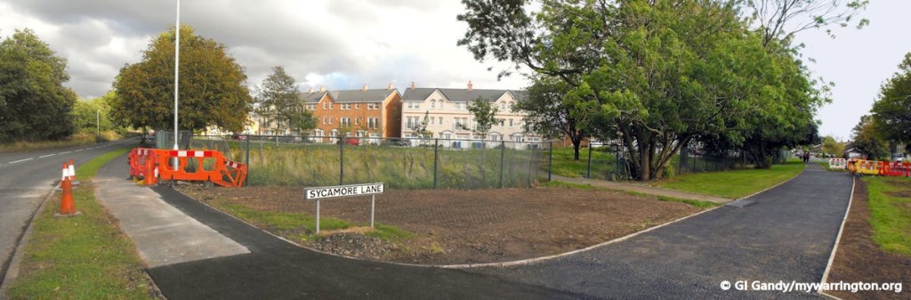
Houses on Sycamore Lane replaced the RAF family homes. 14 Sep 2011
On that 1905 map, the road now called Sycamore Lane was called Long Lane – it was named Sycamore Lane by the 1950s. There was Sycamore Lane Farm on the north-west corner where the roads surrounding Tankersley Grove are now.
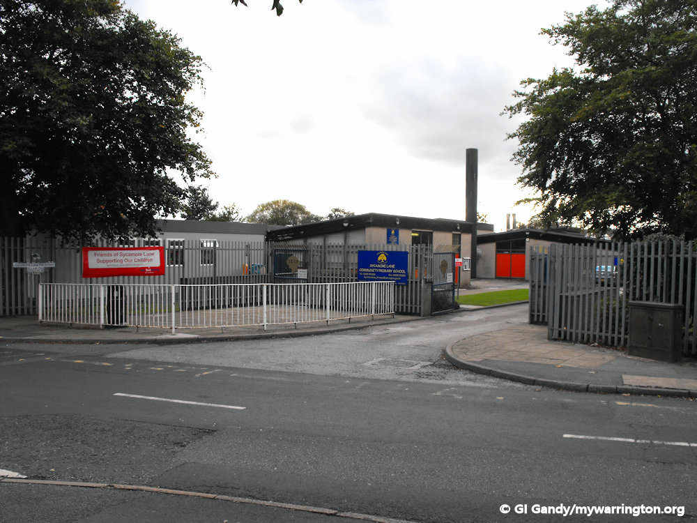
Sycamore Lane Primary School is built on part of the farmland. To the west of the southernmost tip of the school playing field was Sankey Hall (roughly where Birdwell Drive is today in Great Sankey).
You might wish to view the side by side map of the area on the National Library of Scotland website.
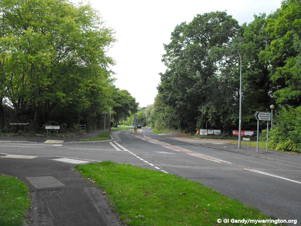
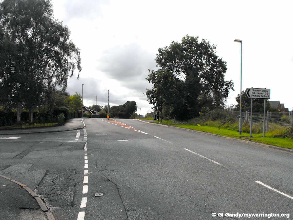
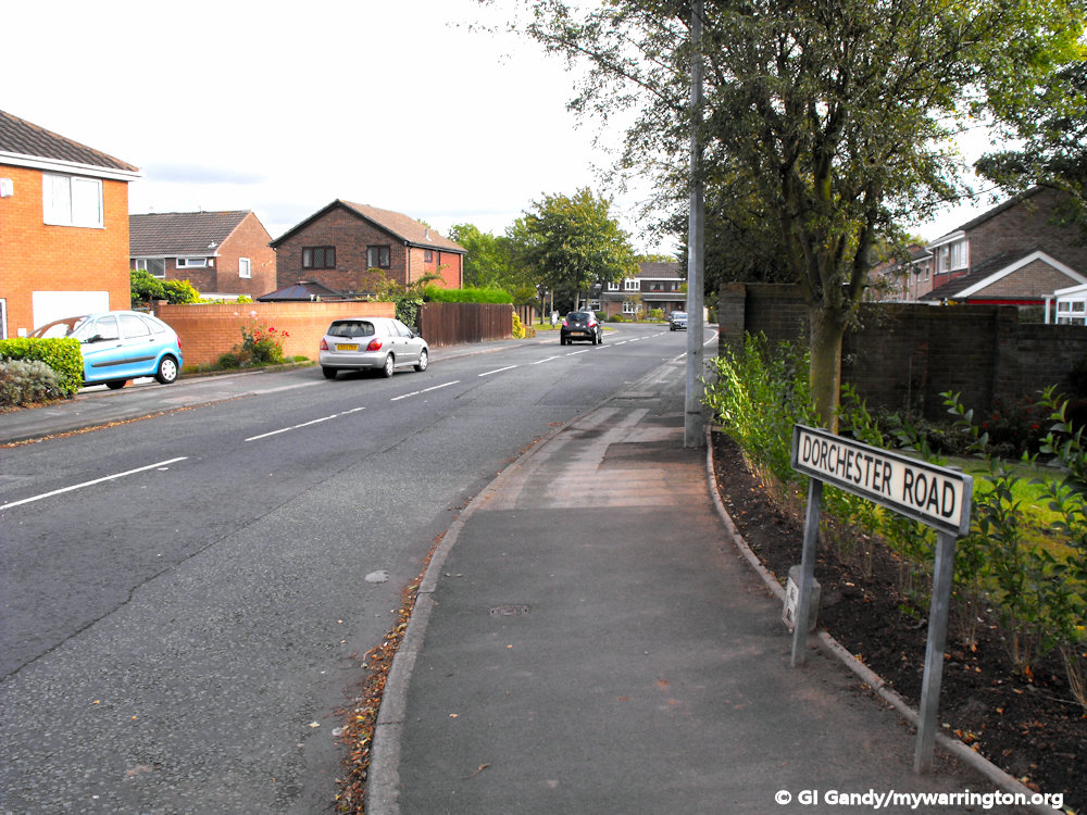
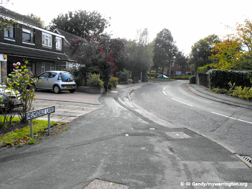
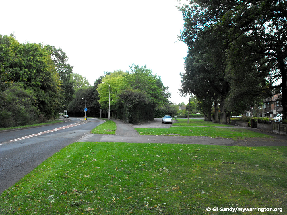
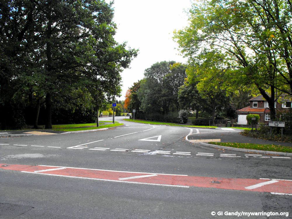
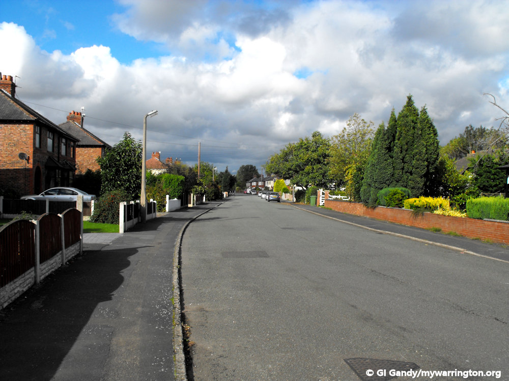
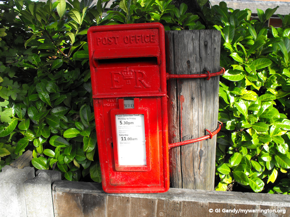
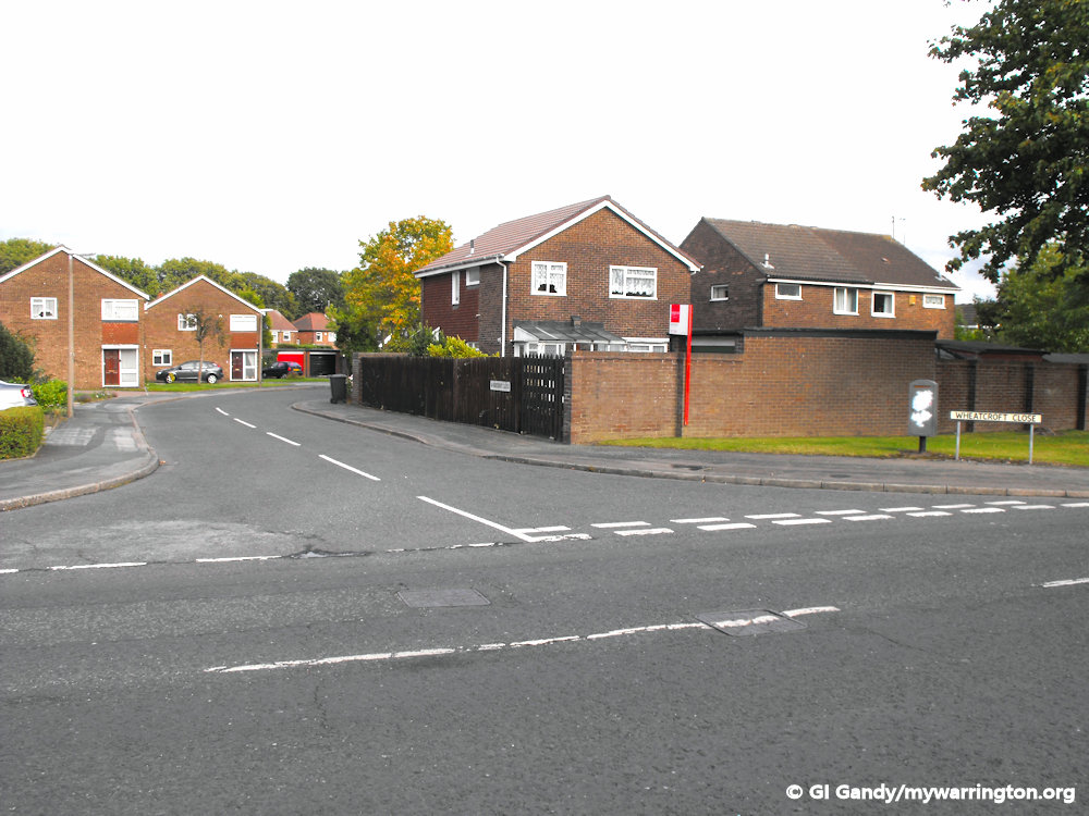
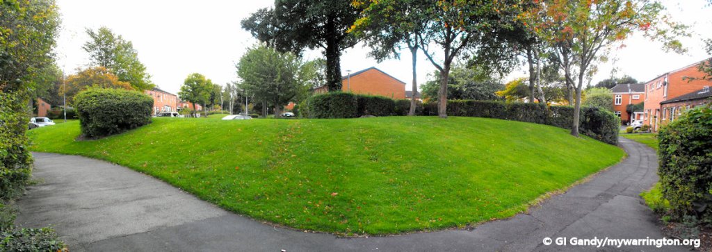
And now a final walk around the district in pictures (all photos taken 14 September 2011).