

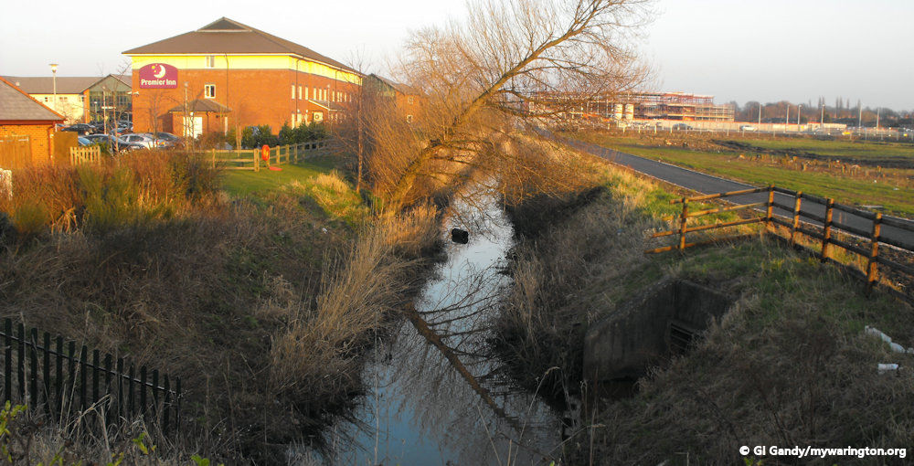
Longford Bridge view along Longford Brook 2 Mar 2011
Introduction
Longford is a district in the north-east of Warrington in the Orford ward of the borough. The district was originally called Longforthe. The boundary for the district is the River Atherton (now known as Dallam Brook) to the west, Long Lane to the south, and Sandy Lane/Sandy Lane West and Northway to the north and east respectively.
The British History Online website shows listings for Longford going back to the 16th century when Thomas Norris held land in the area. John Blackburne was high sheriff of the county of Lancashire in 1743–4 and built or restored the bridge and roadway at Longford, in order to secure the northern approach to the town from being rendered impassable by floods, as had frequently happened. The original bridge is long gone due to the road being a dual carriageway nowadays, the A49 Winwick Road. This is the same John Blackburne of Orford Hall who built Fairfield House for his daughter Anna to house her collection of ornithology species.
The meadow called Dalcarr, of six acres, lay to the west of the road leading from Longford Bridge to the village of Hulme; a meadow called Homur Plock, belonging to William Boteler, lay on its western side. It was worth 13s. 4d. a year.
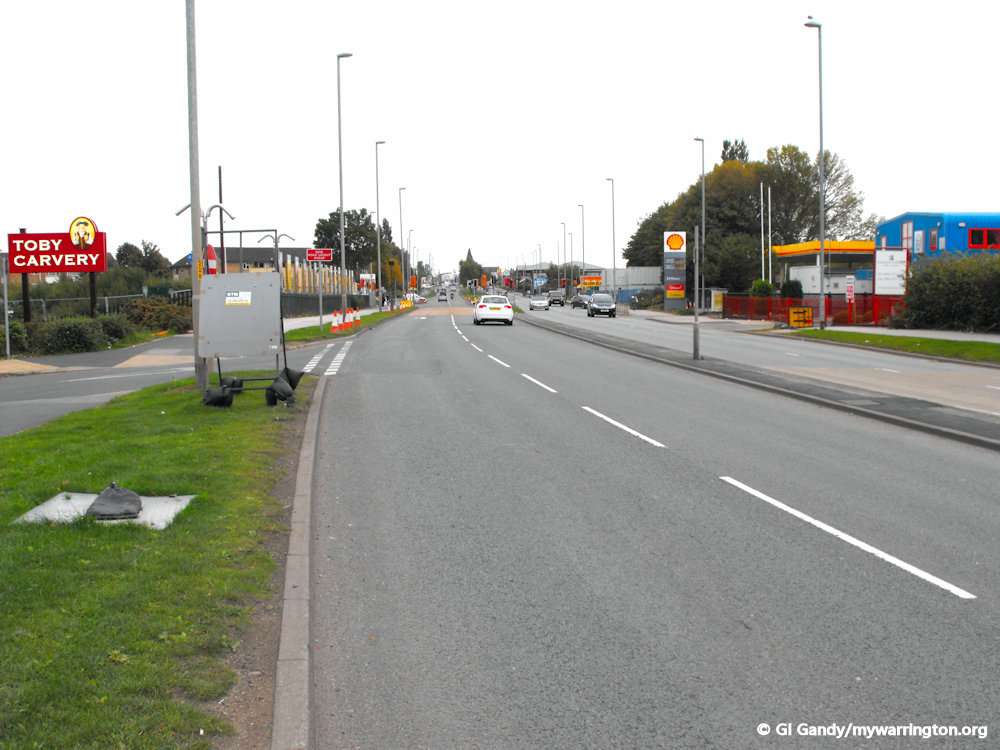
Longford Bridge (between the Toby Carvey sign and Longford Bridge petrol station) 24 Sep 2011
On the Map
On the OS 25 inch map 1892-1914 we see what was at the same location at that time. The northern section of the area now covered by JunctionNINE retail park was called Meadowside at the beginning of the 20th century. To the east of Meadowside there was Clambrook Farm and Clambrook Cottage close to the Sandy Lane and Winwick Road junction. Clam Brook ran through the centre of Meadowside with Clambrook Bridge crossing the brook at the location of today’s Sandy Lane roundabout.
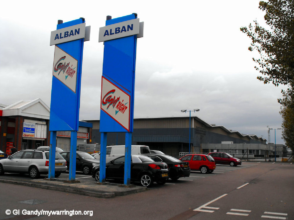
On the earlier OS six inch map of 1830-1880, we see that apart from Clam Brook Farm and the other locations mentioned, there was no other development in the area we now call Longford. To view the map, click the previous link and select alternative maps from the left side drop-down menu. Before the retail park, a Fiat spares warehouse occupied the site from the 1960s. We’ll look at that in more detail later. Meanwhile, here are photos of the retail park.
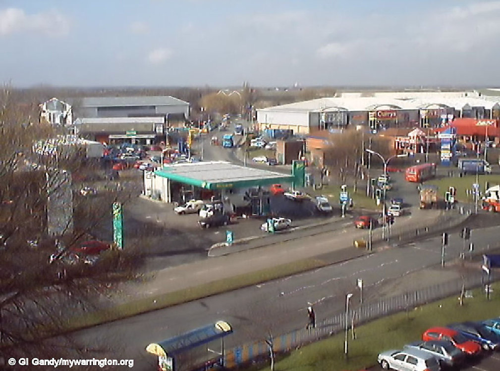
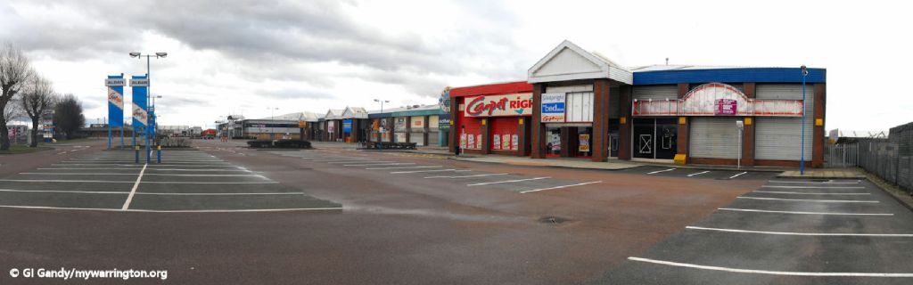
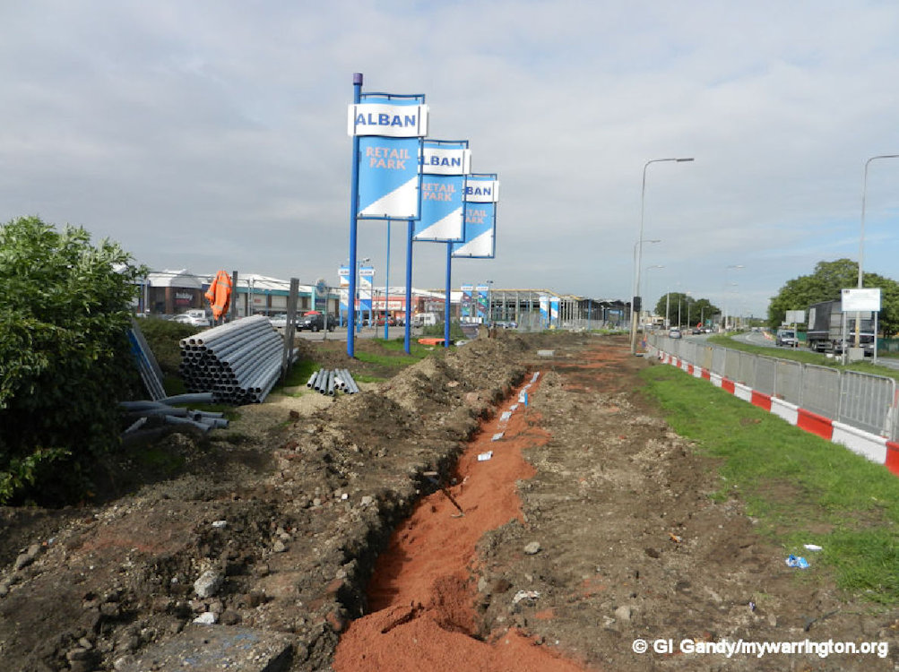
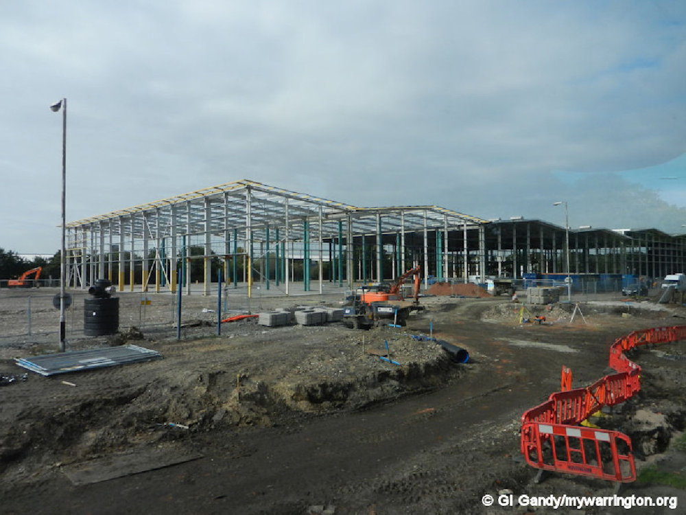
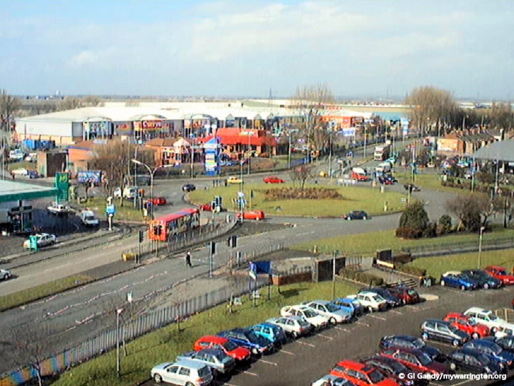
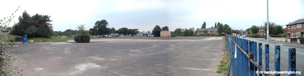
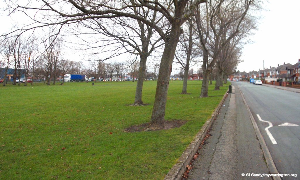
The southern section Alban Retail Park, the original name of JunctionNINE, as it looked on 7 Mar 2001, with a view towards Dallam
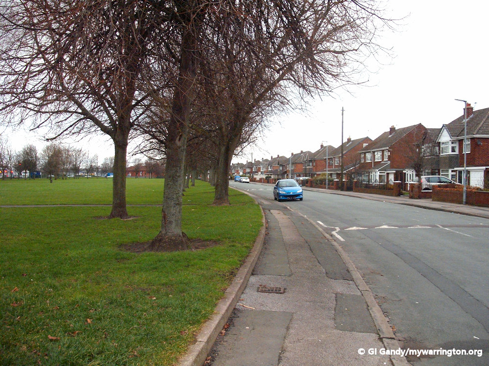
The layout of the road was different in those days too. In fact, the original road is still in place between Sandy Lane and Long Lane junctions alongside Longford Park. In 1912 houses did not occupy the whole length of that section as they do today. And in former times the original Roman road north through the area ran through the centre of what is now the park. At the southern end of the district, Long Lane Farm was close to the today’s junction of Long Lane and Northway. The Longford Hotel is also shown on the map but I don’t have a date for when it was built.
On the western edge of the district down Hawleys Lane was Longford Manure Depot on the southern end of the site of Alban Retail Park, now JunctionNINE retail park. The town’s sanitary department used this depot and in Warrington Hundred (1947) we learn that at the Longford depot, apart from the disposal of house refuse by incineration, a valuable fertiliser had been produced here for many years. On the opposite side of Hawleys Lane from the manure depot on the site of the Rix car sales land there was a cattle market.
The original section of Winwick Road used by vehicles before the dual carriageway was built on the opposite side of Longford Park to the left as we look.
Public Transport
The first public transport to serve Longford was a tram route from Warrington town centre, which began on 29 November 1902. It was one of five tram routes in the town; the other four served Manchester Road, Latchford, Stockton Heath and Sankey Bridges. The Longford route ran until 31 December 1931.
The first motor bus to run to Longford started on 1 July 1913 and also served Orford. Lancashire United Transport started Longford to Warrington service on 13 July 1921. In later years, the No 79 bus served Longford and nowadays it is services 20, 21 and 21A that get you there. Read more about public transport in Longford in On the Buses.
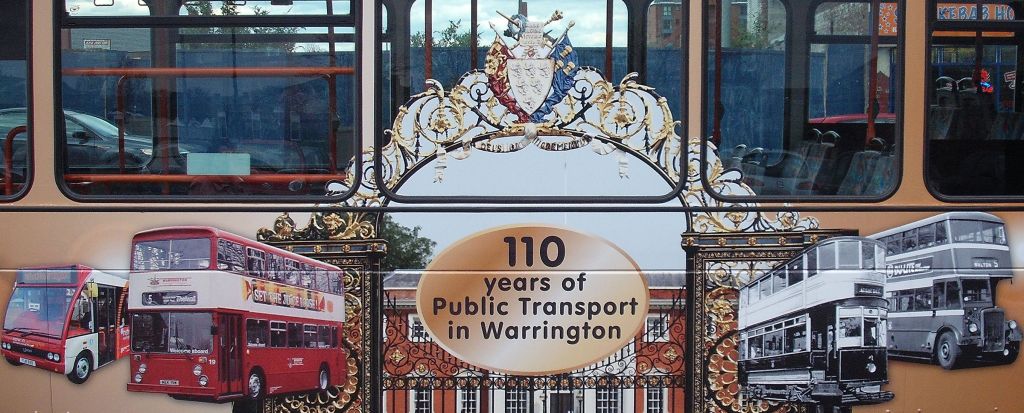
One of Warrington Borough Transport buses was repainted with images of their buses as part of the 110 year celebrations in 2012.
Gas Works
Gas was first used in the town in 1820 and in 1821 a private company called the Warrington Gas Light and Coke Company was formed to supply coal gas to the town and district. The original works were on Mersey Street in the town centre and the first gas lamps in the town were lit in 1821.
In 1877 the town council took over the private company, which resulted in a massive expansion of the service in the town. To cope with the increased demand, it was decided in 1879 to purchase 16 acres of land close to Longford for additional works. The site can be seen on the OS 25 inch map 1892-1915. In 1897 it was agreed that it would be more economical to produce all the town’s gas at the Longford site and the Mersey Street site was closed down. The Mersey Street site was then partly occupied by the council’s tram depot. The space occupied by two of the gasometers is now under the Cineworld site at Time Square.
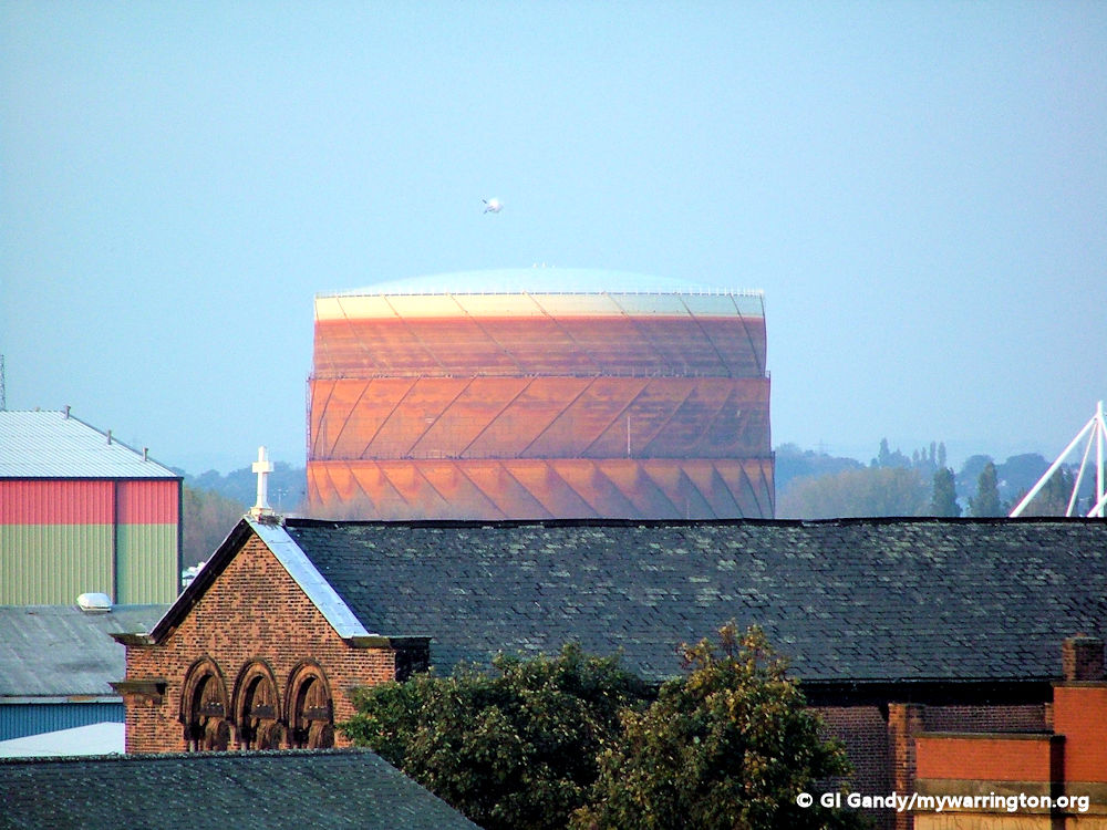
One of the gasometers at Longford 27 Oct 2005
In 1890 the gas works was supplying 183,644,000 cubic feet of gas to 4,060 consumers and in 1946 once the country started to recover from World War Two the output was 1,329,654,000 cubic feet for 31,694 consumers. As many of my readers will know, Warrington was a much smaller place in those days before the 1974 boundary changes, so you won’t be surprised that the gas was not only supplied to the town of Warrington at that time, but also to the villages of Stockton Heath, Walton, Grappenhall, Thelwall, Woolston, Padgate, Fearnhead, Winwick, Burtonwood, Sankey, Penketh and Stretton, as well as one district still outside the Warrington borough today, Moore. Other statistics show that the total population in 1946 for all the areas mentioned was 120,000, who lived within a 45 square mile radius of the town centre. The total length of gas mains was 250 miles.
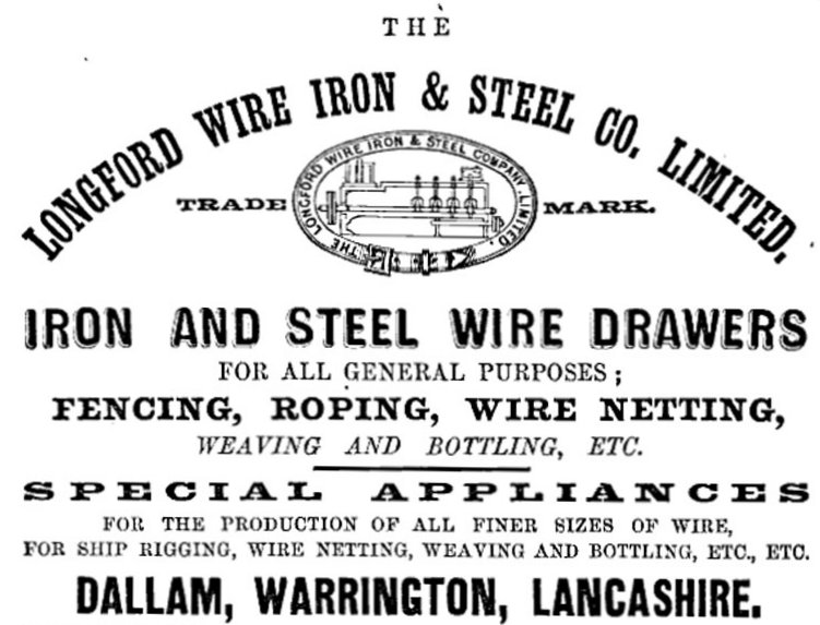
Longford Wire, Iron and Steel Co
Information in this section uses text from Grace’s Guide.
Although based in Bewsey, the company was known as Longford Wire. It was located immediately south of the gas works. The company was founded in 1874, as an advert from that year declares: ‘A WARRINGTON WIRE IRON AND STEEL COMPANY’. A Manchester contemporary publishes the following: “The following company has been recently registered: LONGFORD WIRE, IRON, AND STEEL”.
The site started out in a small way with a 80 feet (24.38 metres) by 40 feet (12.19 metres) building but eventually covered 4 acres (16,43 square metres).
This company proposes to carry on the business of wire-drawing, and to make and vend wire-drawing machines. It was registered with a capital of £9,900, in shares of £10 each. The following were the first subscribers:
Longford Wire advert 1876
* Charles John Holmes, Bridge Street, Warrington, woollen draper, 50 shares
*Sylvanus Reynolds, Latchford, Cheshire, farmer, 100
J. Pierpoint, 4, Bold-street, Warrington, architect 75 Roger Hind, 1, Manchester Road, Warrington, engineer, 50
*John Geddes, Bold- Street, Warrington, tea merchant 100
John Houlton, Poulton, near Warrington farmer 30
*Gilbert Greenall, M.P., Walton Hall, Cheshire, brewer.
The ones marked with an asterisk became the first directors of the company. A General meeting was held to determine remuneration.
In 1897 the No. 49. Home Trainer was made by The Longford Wire Co. The product was fixed under the back wheel of the bicycle, the equivalent of one mile was ridden while the machine covered 15 feet. It was exhibited at the Stanley Show in November 1897 (stand no. 28). It weighed 20 lbs (9 kg) and was priced at 45/-.
A. E. Walters, the famous professional racing cyclist, and holder of the world’s record for 24 hours (634 miles 770 yards/1,020 km 704 metres in Paris, 1899), fulfilled a 12 weeks’ engagement at the London Pavilion in 1898, pedalled the equivalent of a mile on the stage. A letter from Walters, recalling the incident, was attached to the exhibit which was purchased in Brighton.
Another product manufactured by Longford Wire was the Wire Cycle Saddle, a product designed to prevent soreness whilst riding a bicycle. You can see adverts for it on the Grace’s Guide website.
The Culture Warrington website tells us the hawsers (rigging) for both the Lusitania and its sister ship the Mauretania were produced here.
The company ceased trading in 1986 and the site was demolished. My next door neighbour worked for the company until his retirement.
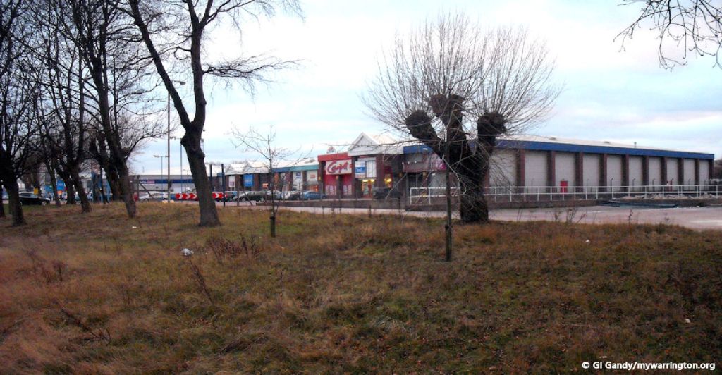
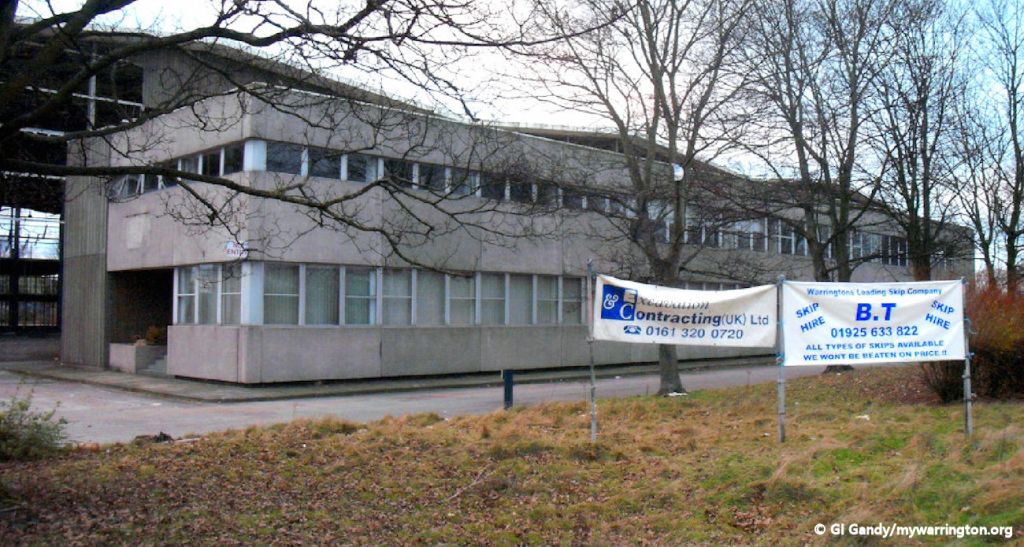
Fiat Car Spares
Fiat set up its importing base for the northwest on Hawley’s Lane in 1965.
The Fiat company was founded in Italy in 1899. It is known in Italy as Fabbrica Italiana Automobili di Torino; lit. ’Italian Automobiles Factory of Turin’.
During its more than century-long history, it maintained its position as the largest automobile manufacturer in Europe and the third in the world after General Motors and Ford for over 20 years, until the car industry crisis in the late 1980s.
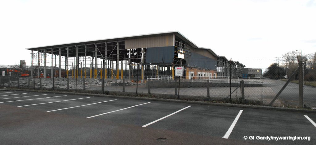
The Hawleys Lane site was closed down in June 2011 and the land was purchased to build Alban Retail Park, now JunctionNINE Retail Park. Some information from Wikipedia.

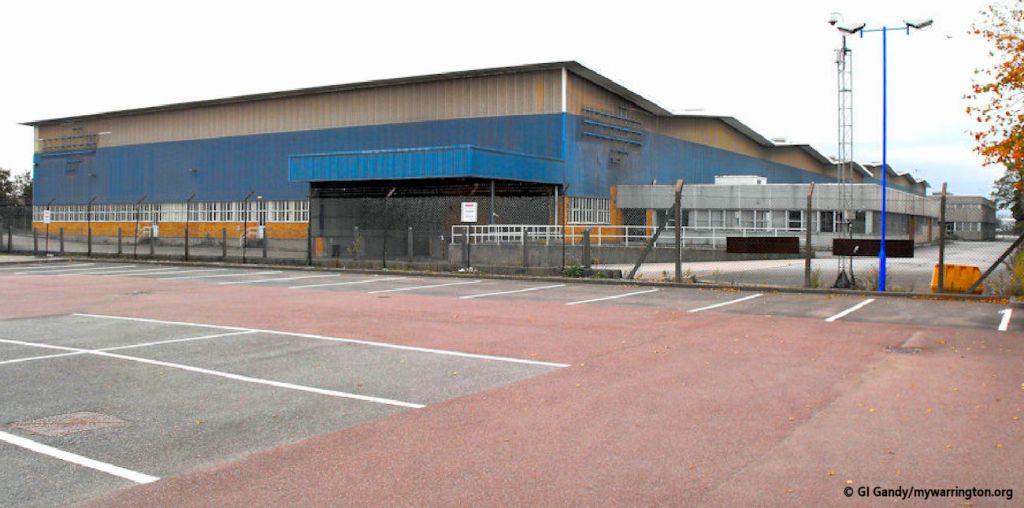
See a photo of the inside of the warehouse on Grace’s Guide.
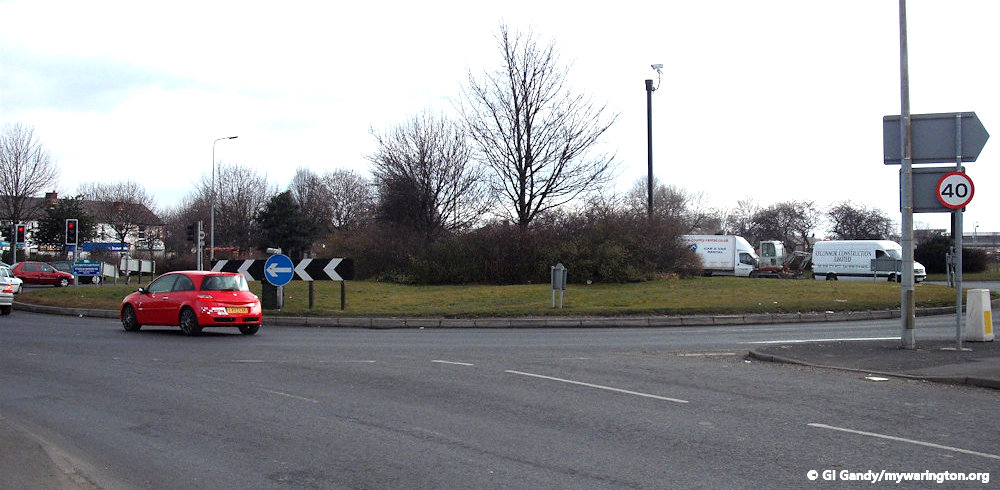
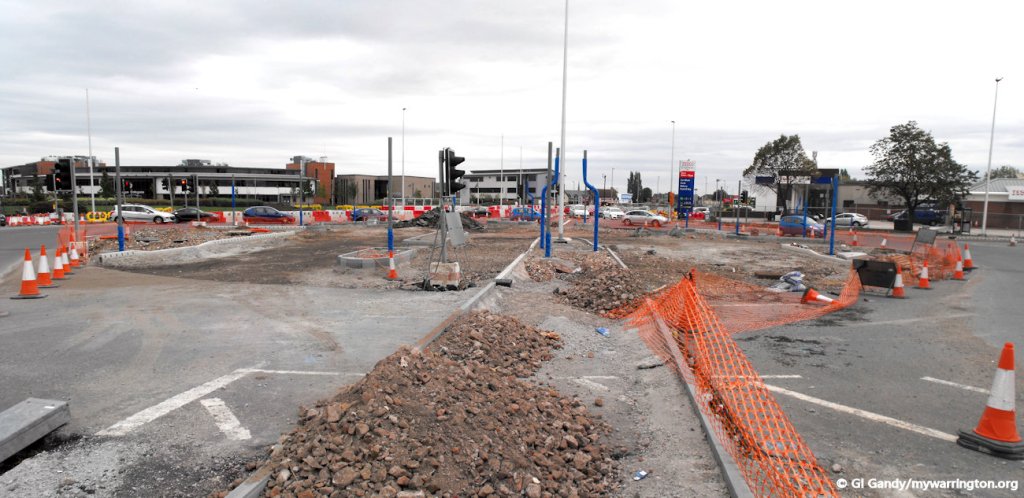
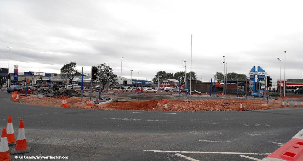
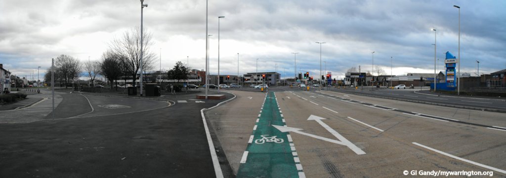
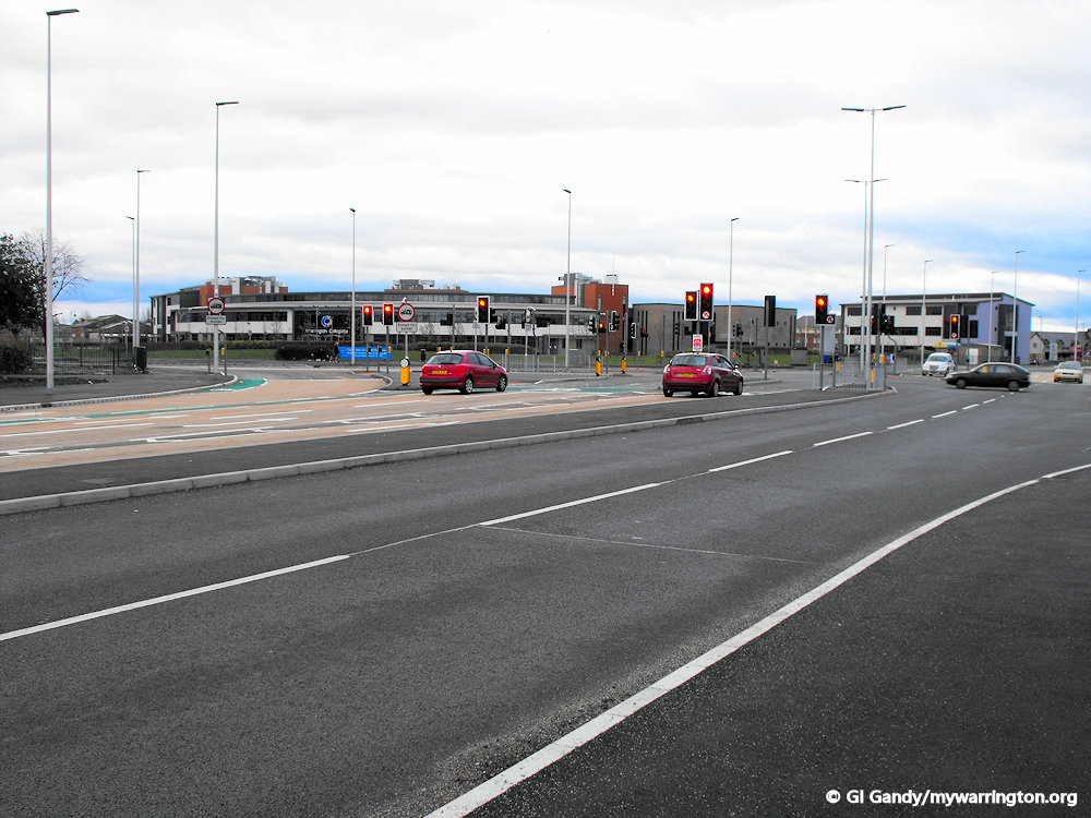
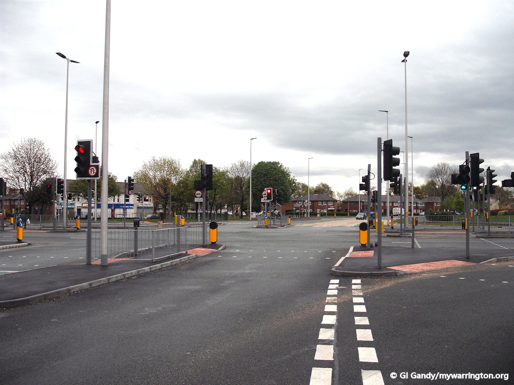
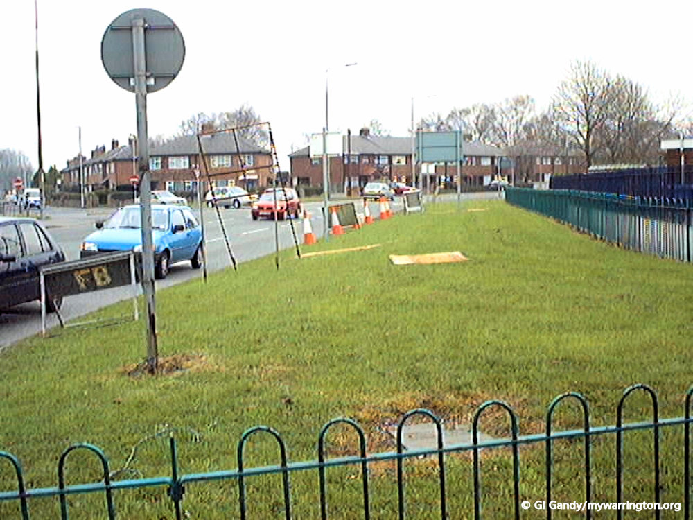
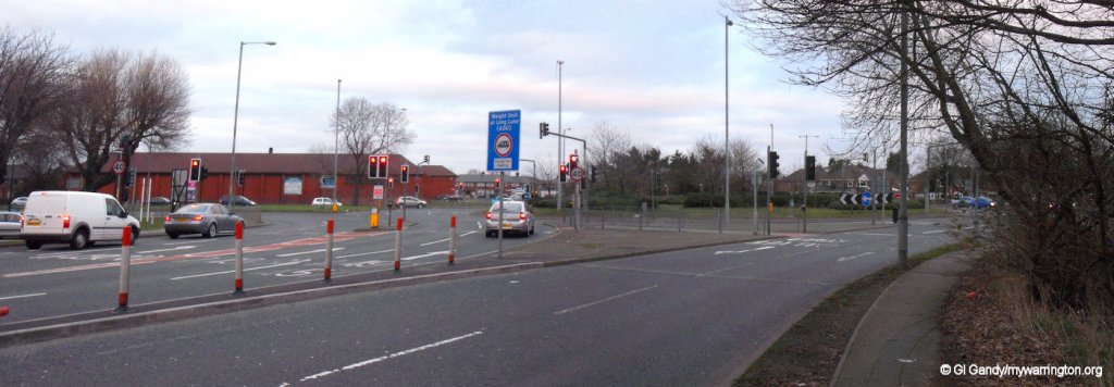
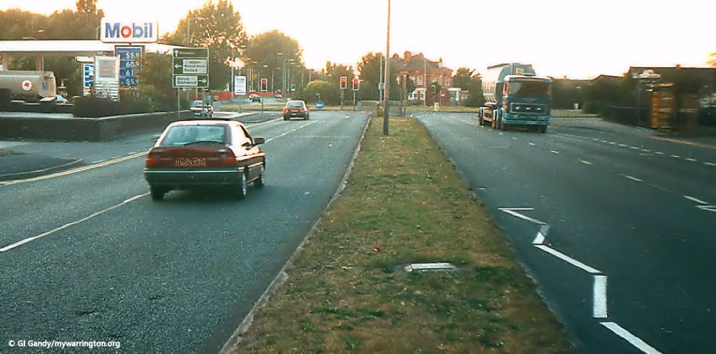
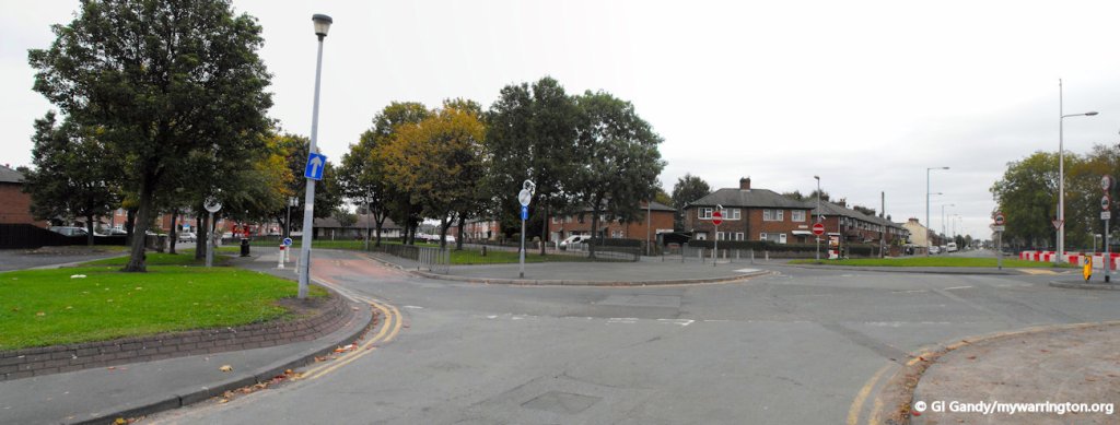
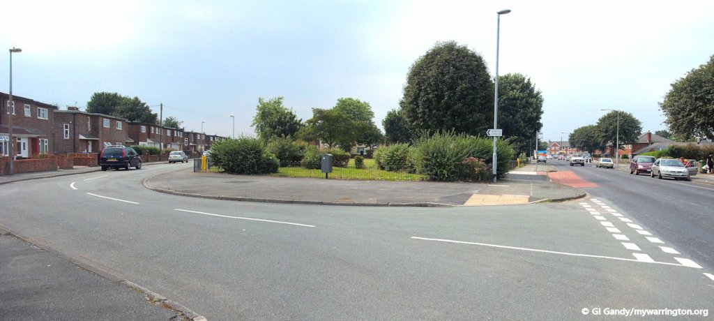
Longford Roundabout
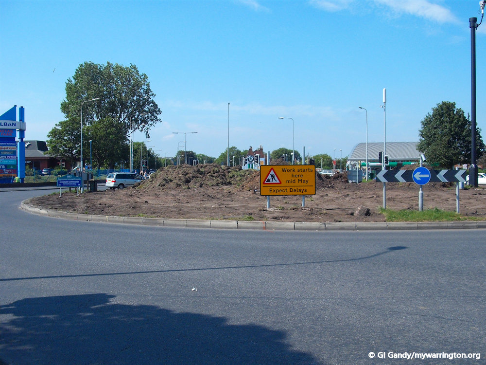
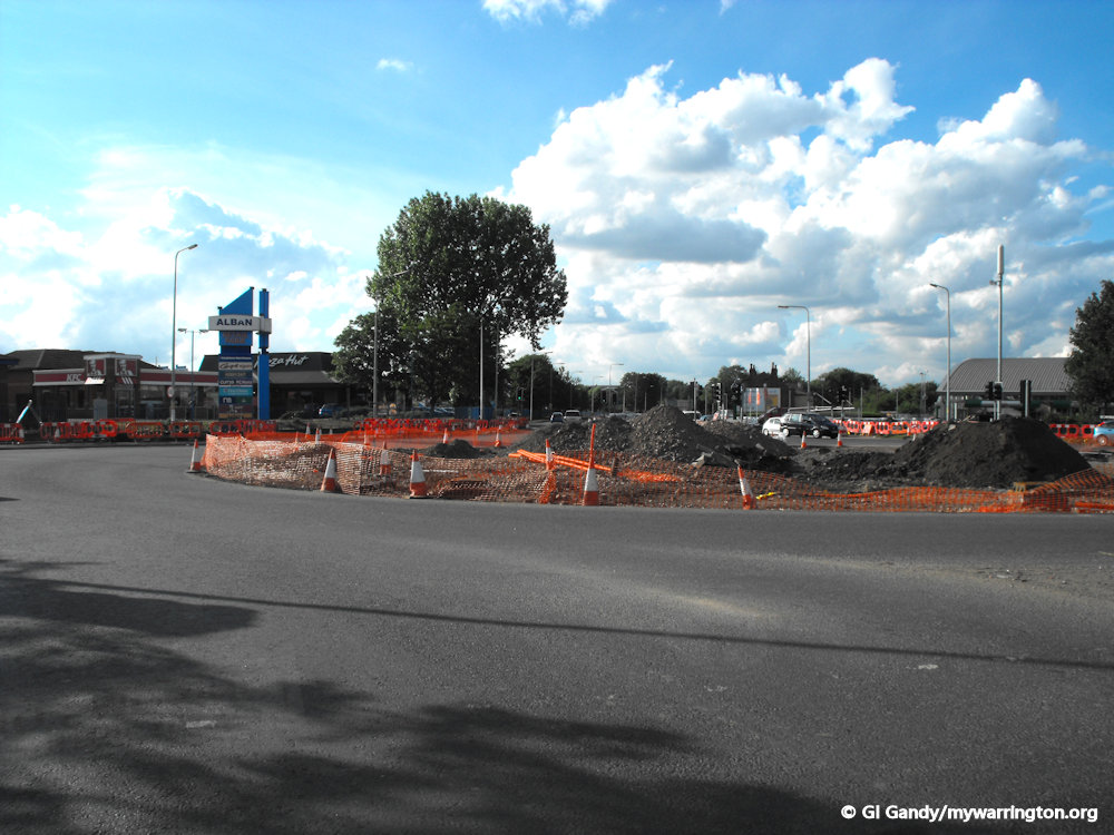
Longford Island was the roundabout junction for Hawleys Lane, Winwick Road and Long Lane when the dual carriageway was created. However, in 2011 the authorities decided to remove it and create a crossroads junction instead. Work was done during off-peak times and took seven months to complete from May 2011 to December 2011.
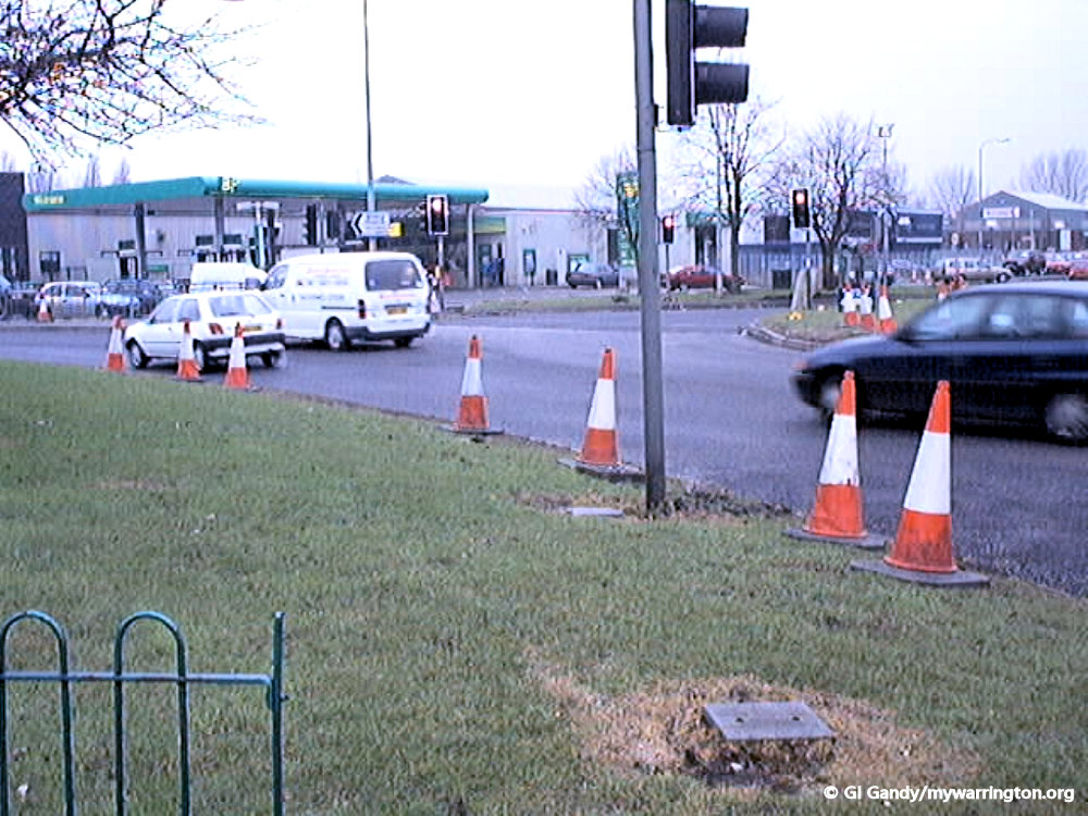
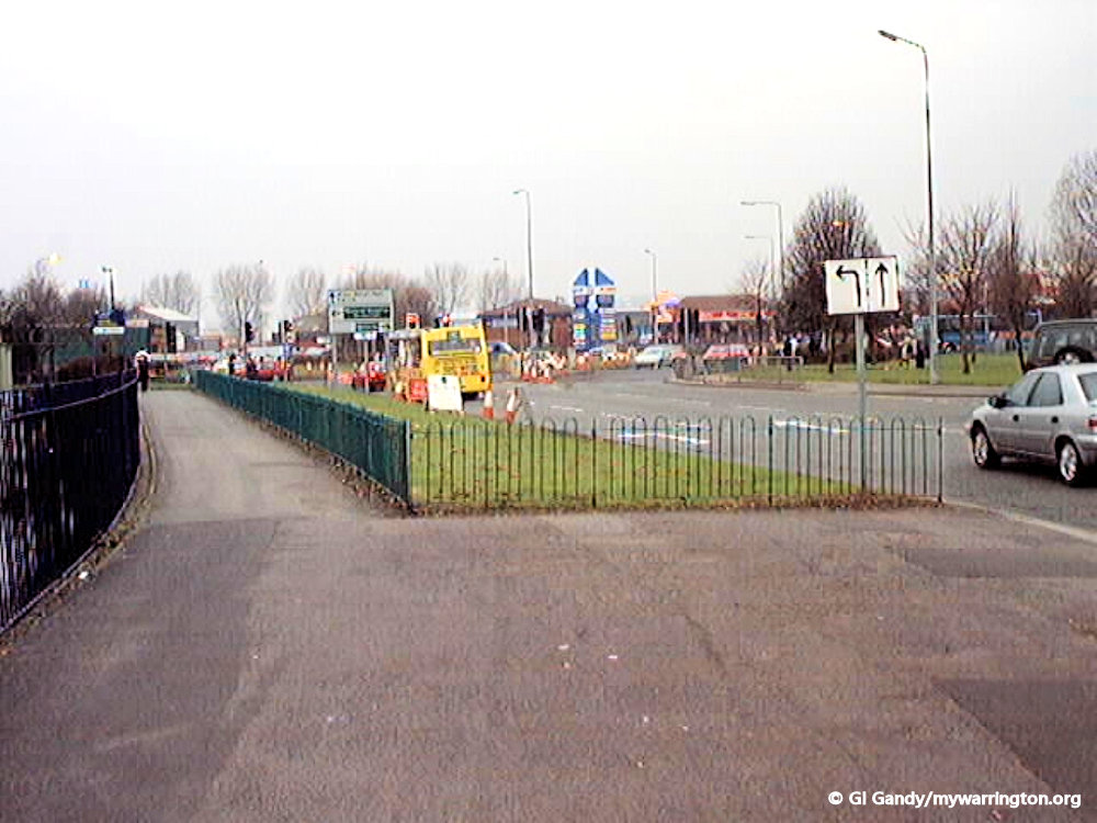
Now take a look at how they removed the roundabout to create the crossroads junction.
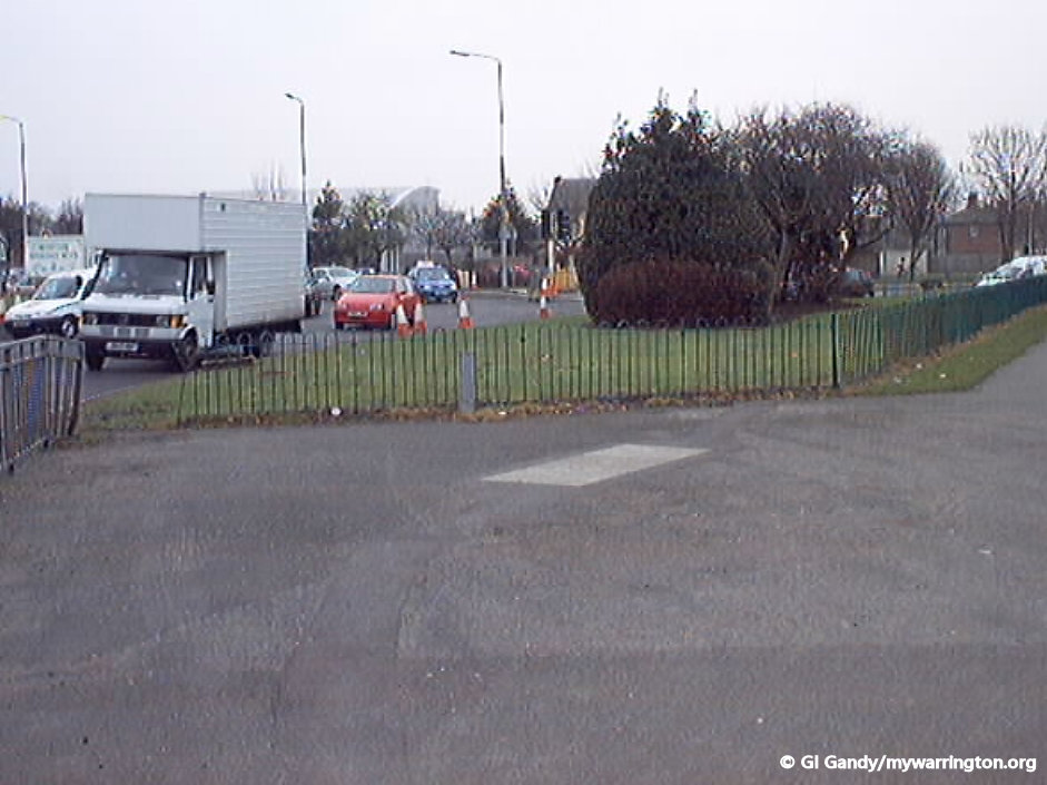
Back in time we can see what two of the roads leading up to the junction looked like in 2001. Apologies for the low quality images (and that is after I cleaned them up!). They were taken on the camera I was given with my first computer in 1999.
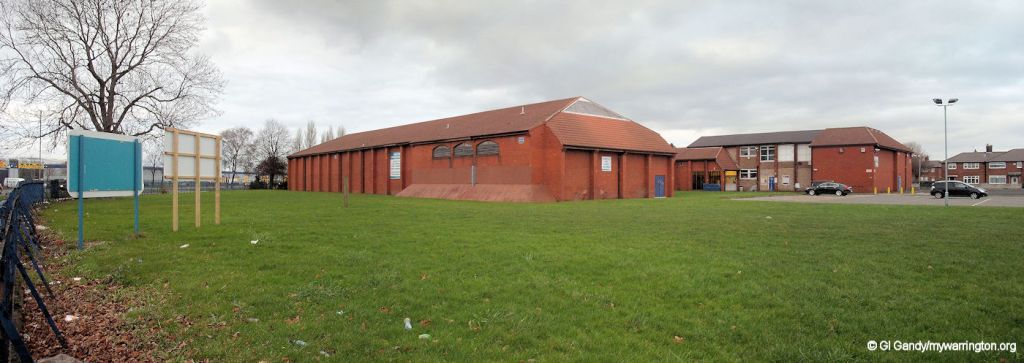
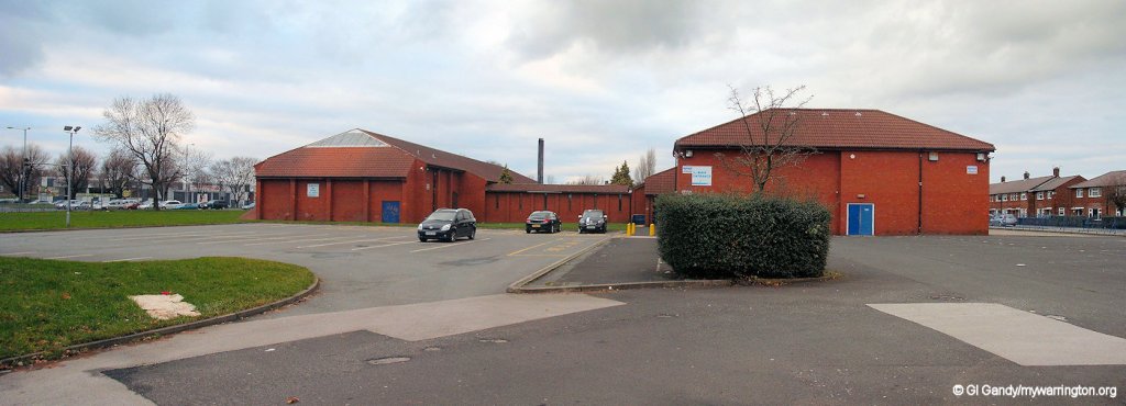
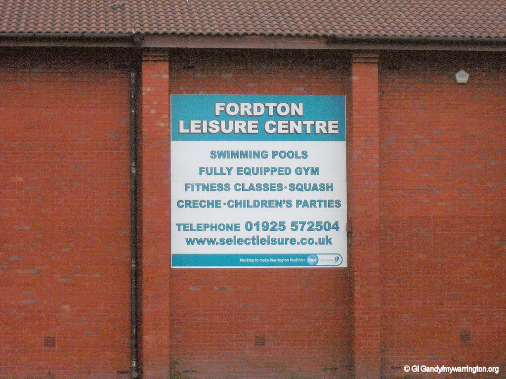
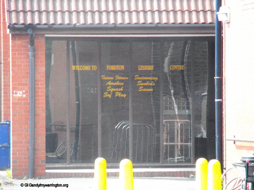
Fordton Leisure Centre
Some of the buildings that became Fordton Leisure Centre were originally part of Longford County Primary School, which opened on 10 February 1961. The school closed on 23 July 1981. Fordton Leisure centre served the district until 2012 when it was demolished to make way for retail units. The leisure centre facilities were not lost, however. They became part of the new Orford Jubilee Park, which is discussed in the Orford section of Downtown.
The first set of photos below show the original buildings of Longford Country Primary School.
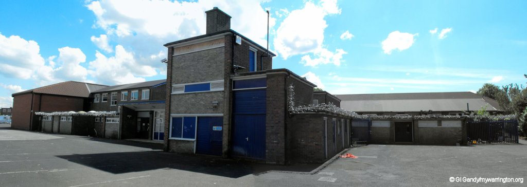
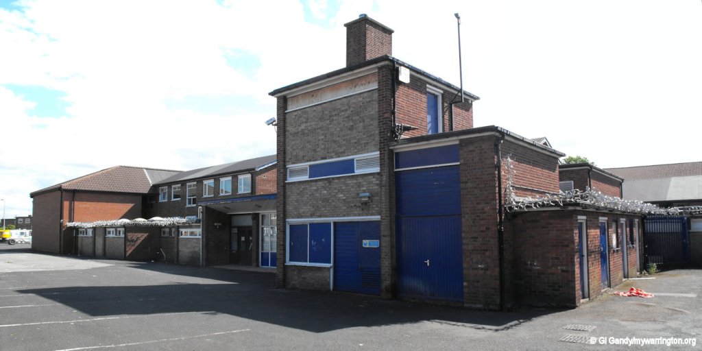
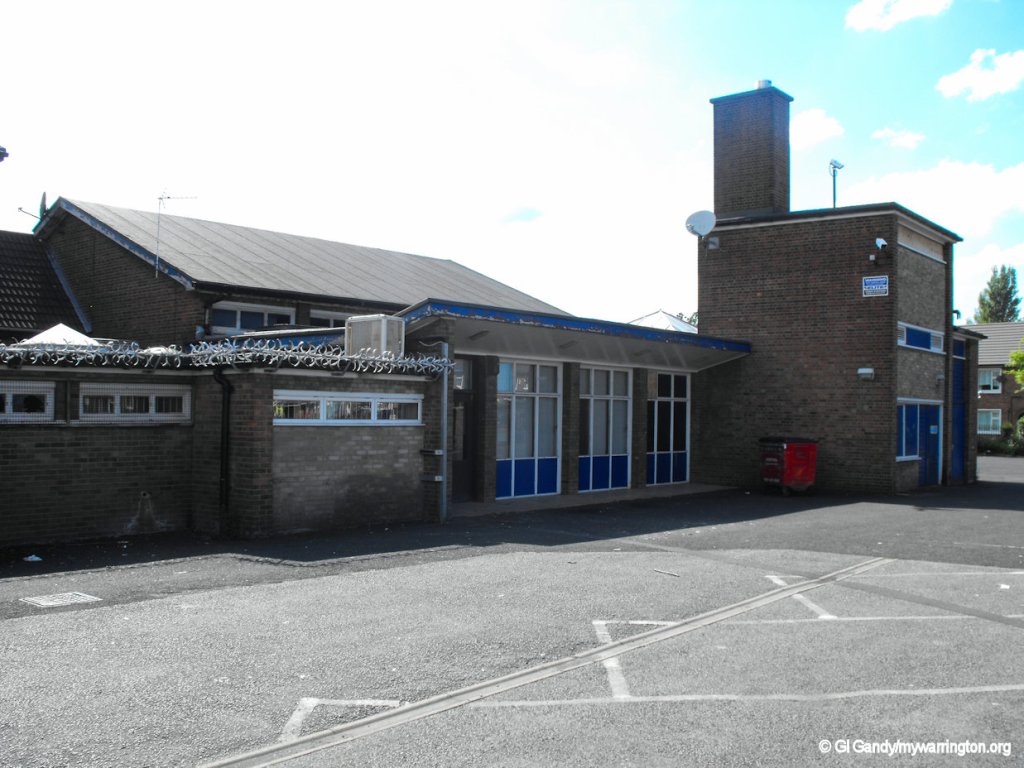
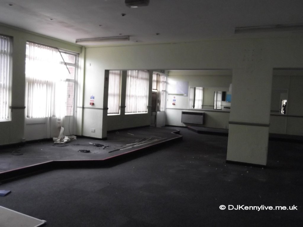
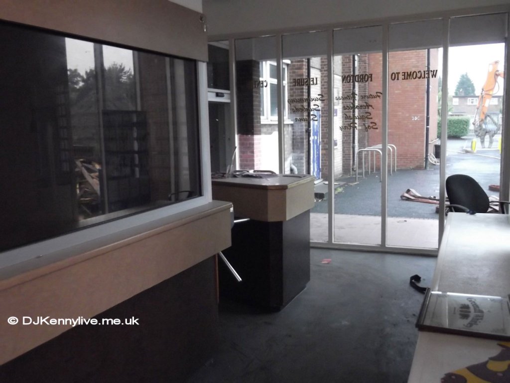
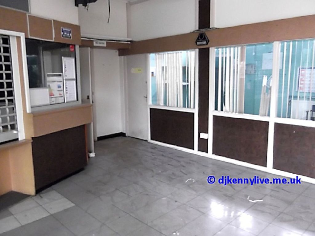
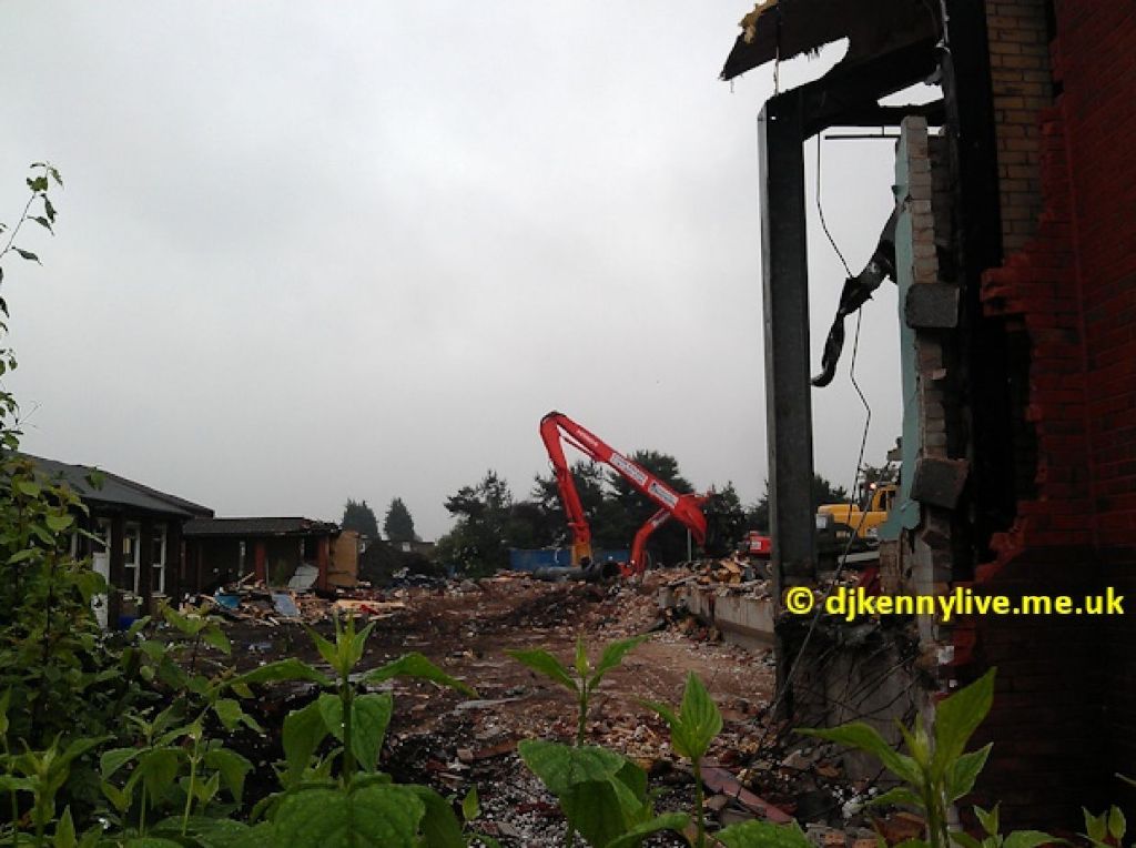
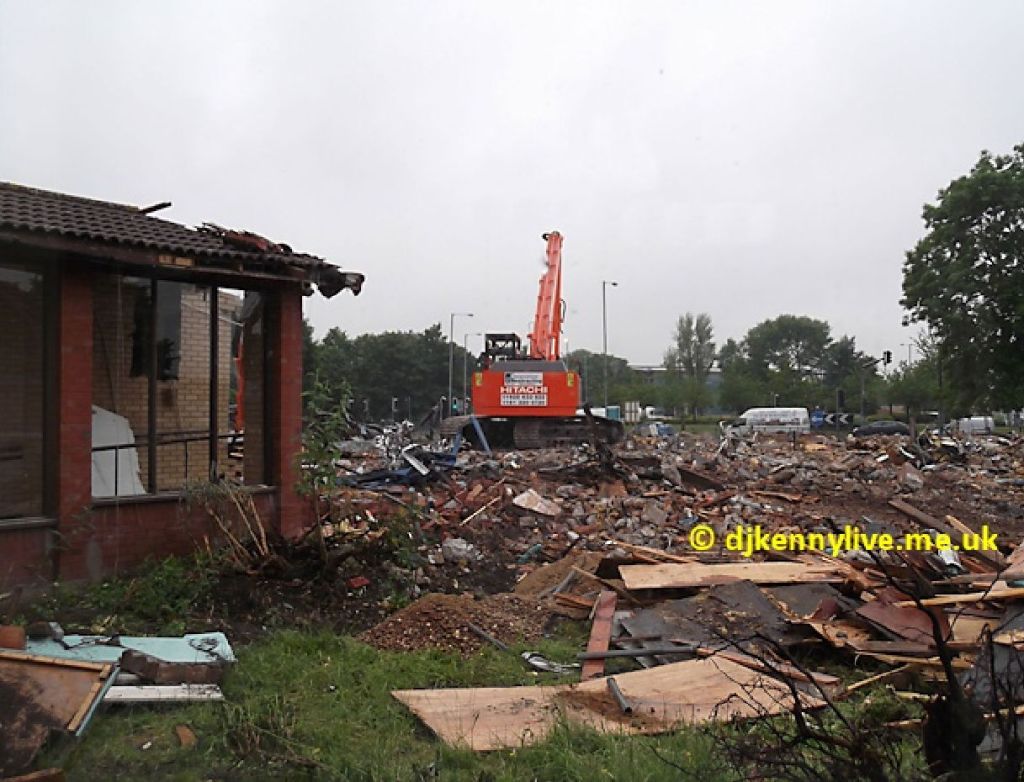
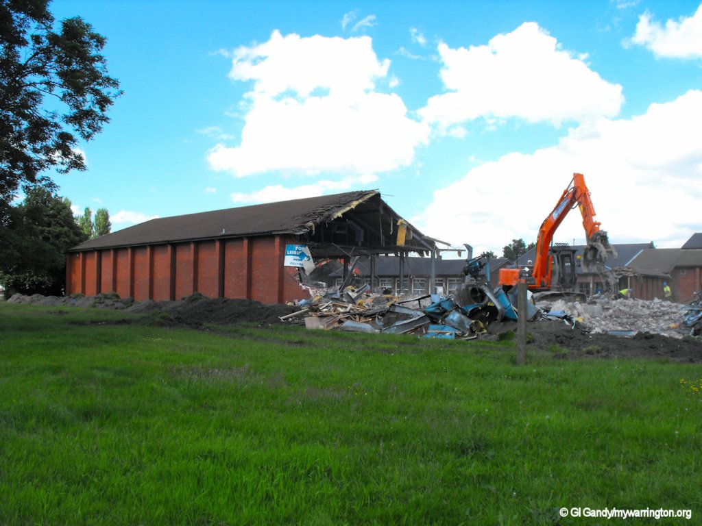
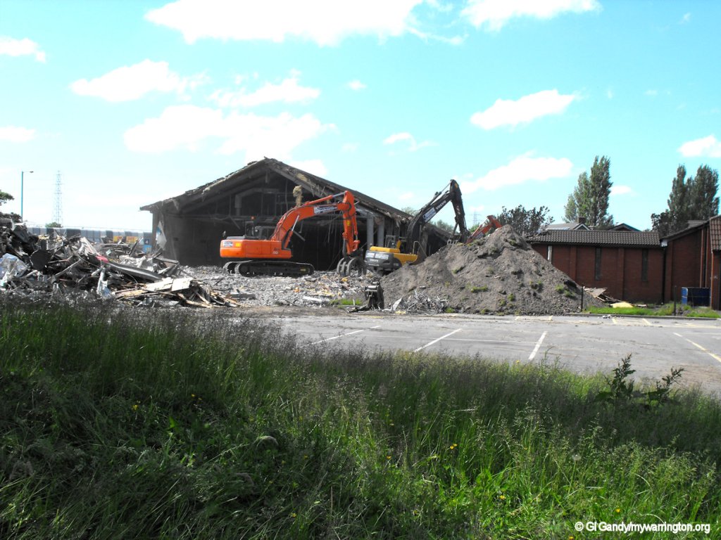
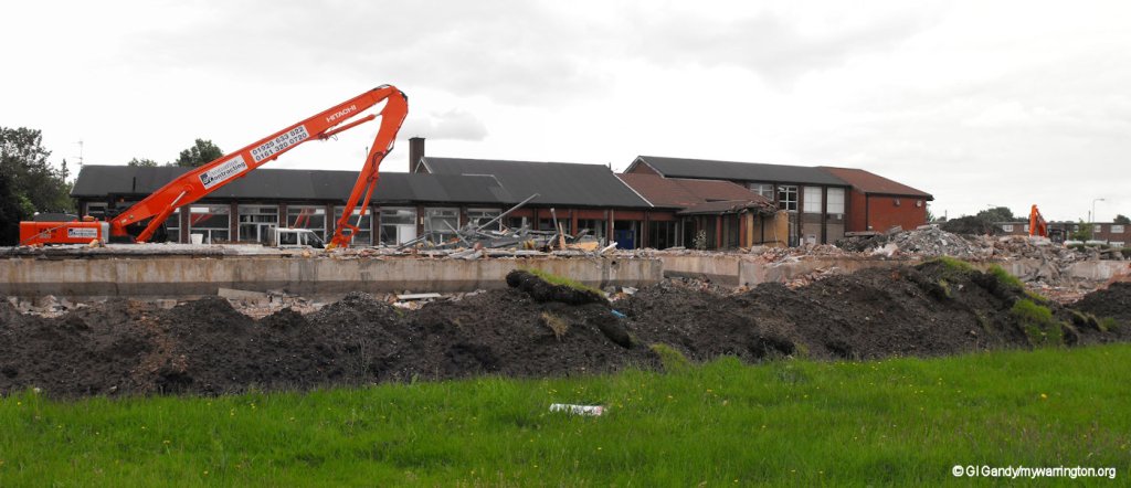
The next set of photos shows Fordton Leisure Centre a year before demolition.
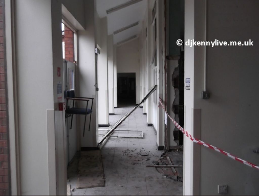
A last look inside the building courtesy of DJ Kenny.
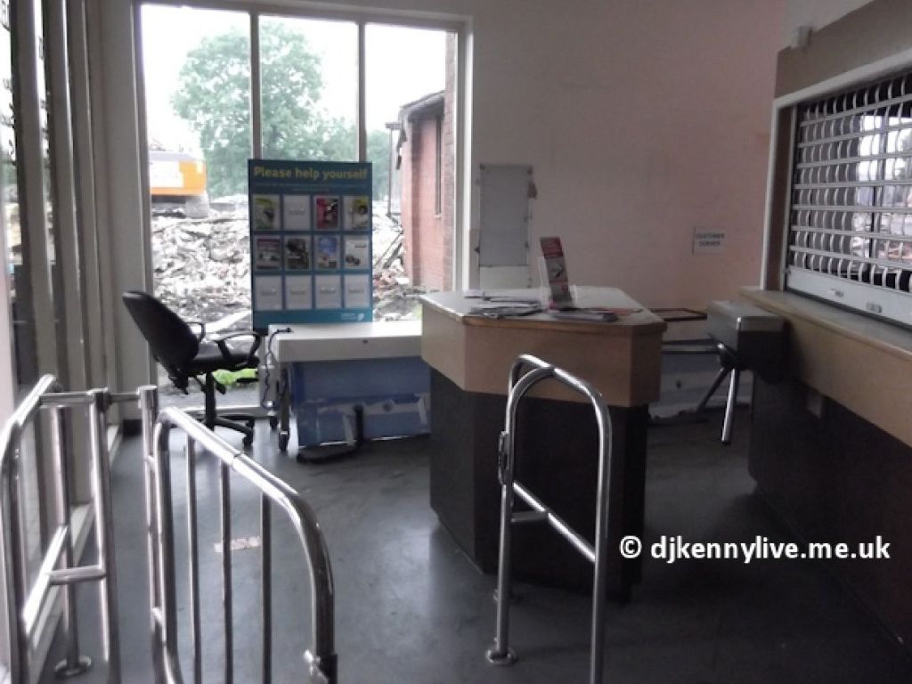
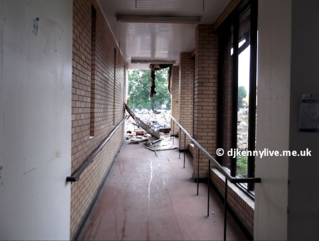
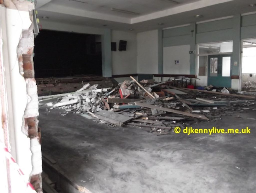
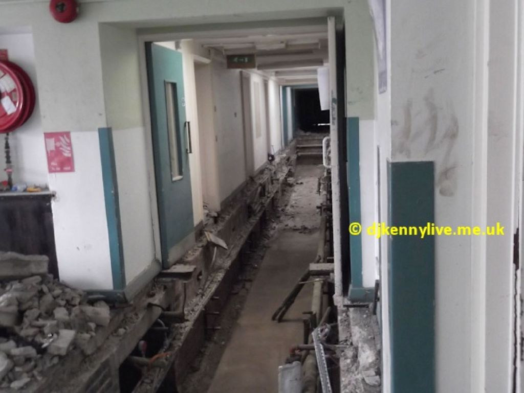
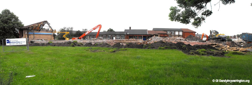
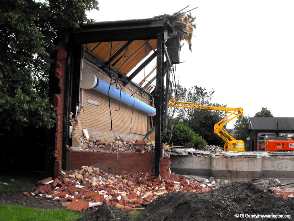
And now time for demolition.
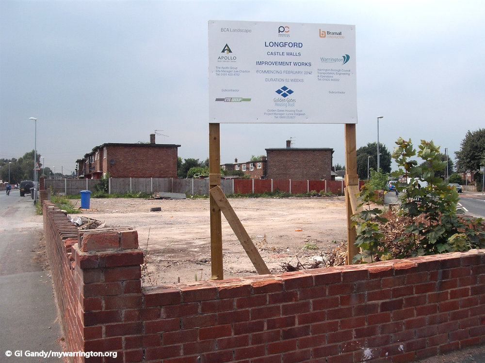
Castle Walls
In a survey by Golden Gates Housing Trust (the owner of the former council houses) the residents of Longford were asked what improvements they would like to see in their area. One thing that came up near the top was the walls on the front of every house – the design was in the style of castle walls and the residents felt it was old fashioned and therefore not relevant to their daily living. So, in February 2012, the housing trust began the process of removing the old walls at the front of the rented properties and replacing them with modern brick walls. Houses purchased under the Right to Buy scheme were not included. The same scheme was used for the properties on Alder Lane and surrounding streets in Orford.
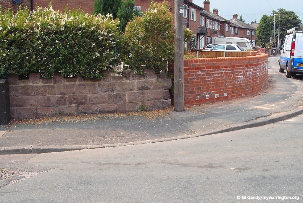
The first photograph (right) is at the location of Crowe Avenue and Sandy Lane. Albert’ club, which was demolished in recent years, stood on this corner. It was called Cornerhouse Club in later years. I was too late to get a photo of it. If you have one I would love to display it on the website. Email me.
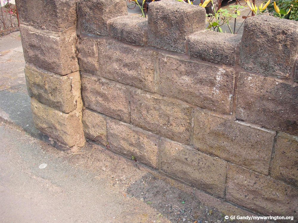
The Castle Wall project at the junction of Sandy Lane and Crowe Ave 26 Jul 2012
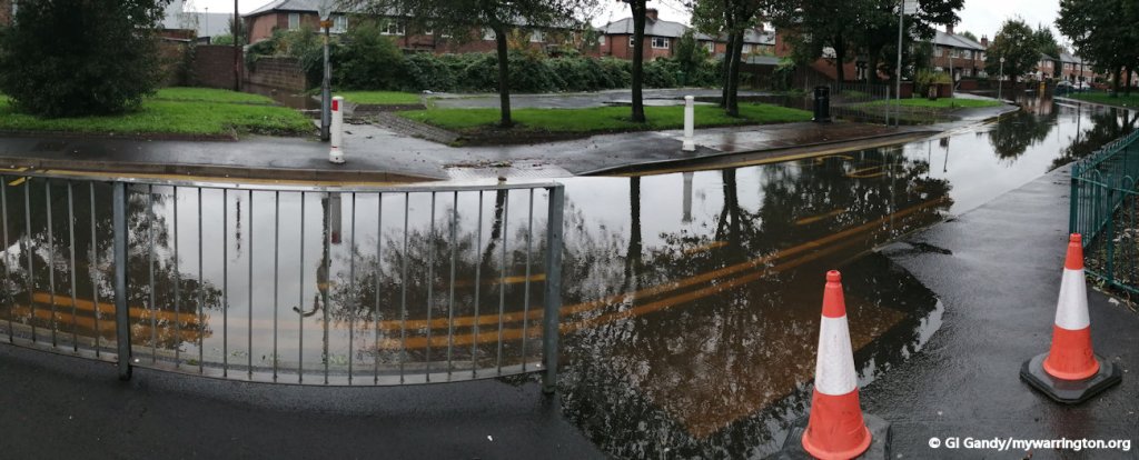
Flooding
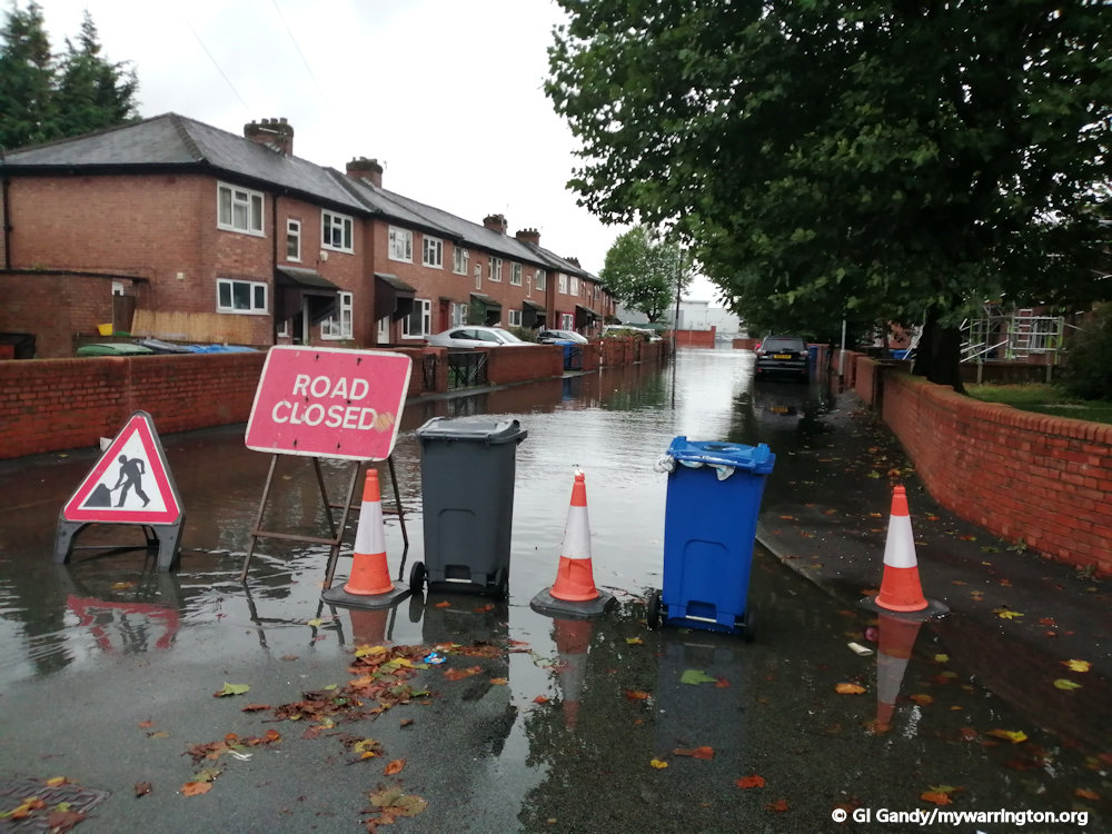
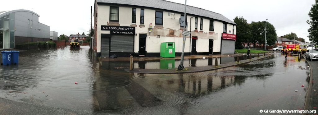
One of the more serious issues for residents was flooding in times of heavy rain. Sadly, as we have already discovered in the introduction, flooding has always been a problem in this part of Warrington. In connection with similar flooding problems in Hawleys Lane at Dallam, the Environment Agency, United Utilities and Warrington Borough Council worked together to find a solution.
Residents had pointed out that the drains were regularly cleared out in the past but, possibly due to budget cuts, this task was performed less and less in recent years. They believed part of the problem must be connected to that. It is interesting to note that on the OS 25 inch map mentioned earlier that it mentions that Meadowside was liable to flooding.
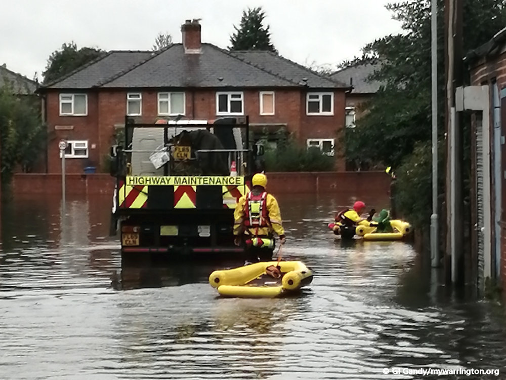
One part of the solution was to construct a new pumping station at Bewsey where the waste water from the two areas was dealt with. That decision was made after flooding in 2012, but as the images here show, this was 2019, long after the new pumping station was built. Global warming is of course always mentioned in situations such as this.
Much of the issues related to global warming has been put down to the Industrial Revolution of the 18th century and human influence ever since, but it must be noted that the planet has gone through many cycles of warming and cooling in its history. There have been at least five periods in the earth’s history when ice ages have occured, the last one ended 10,000 years ago. And although modern humans are said to have lived on the planet for 300,000 years, and there are now more people alive today than have ever lived before us, it doesn’t fully explain the reason for the planet warming up again 10,000 years ago. I am no expert on any of these matters, and I am sure the research will continue, but for me as a layman I would suggest there is more to the warming than simply human activity. We shall see if that is the case in the years to come.
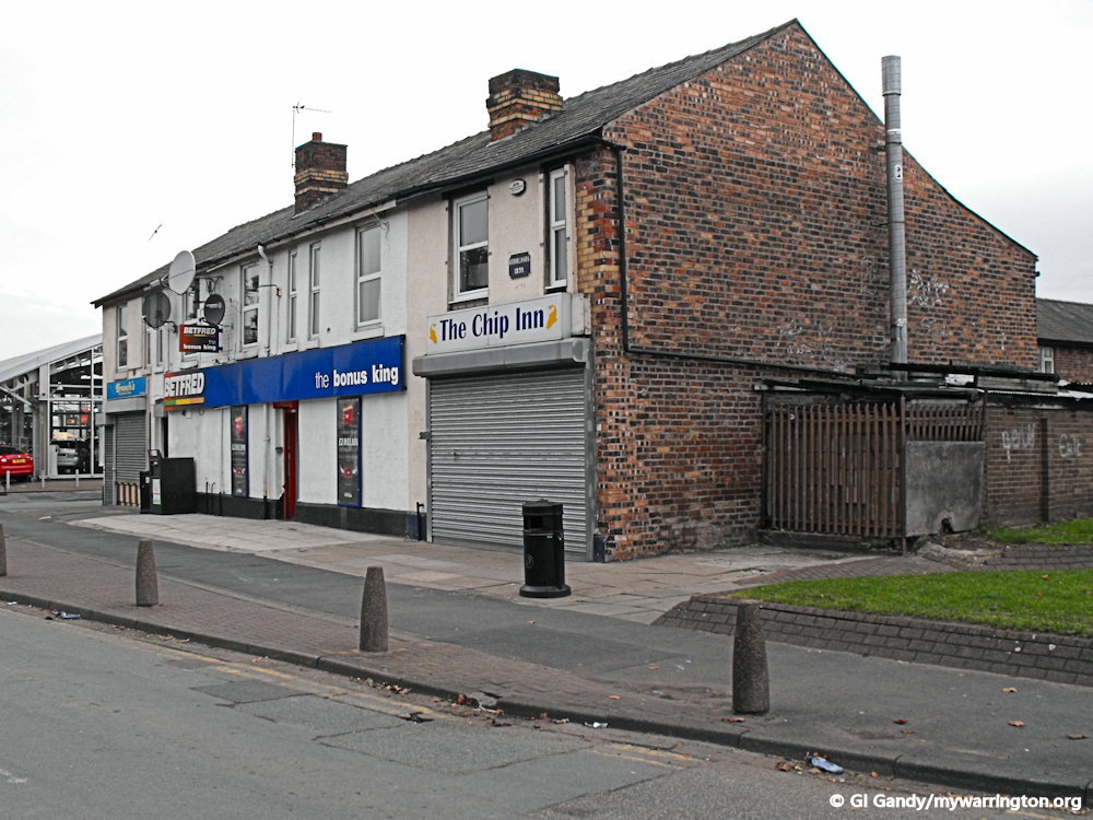
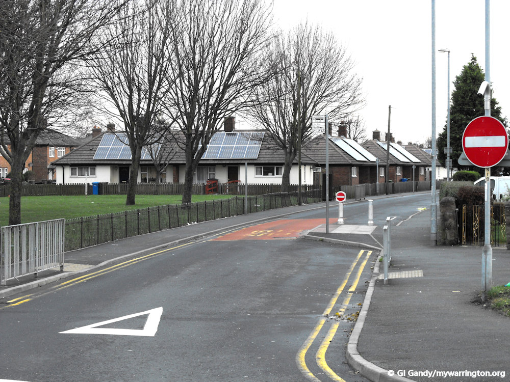
Around the District
The Skoda car showroom by Winwick Road is on the site of the former Longford Hotel.
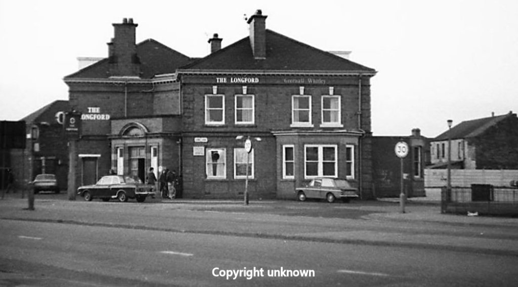
Thanks to members of Warrington Memories on Facebook for helping me to locate the close up photo of the Longford Hotel. I don’t normally like to use photos where I don’t know the copyright owner, so if you know who owns the photo or are indeed the copyright owner, please Email me for a credit.
The next two photos show Brooklands and a date of 1899. I have no further information on the origins of the building, but it is safe to say it has existed longer than the housing estate.

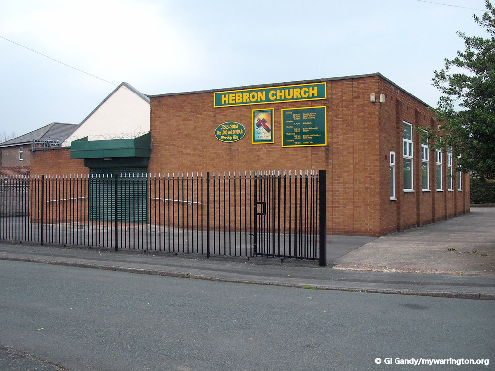
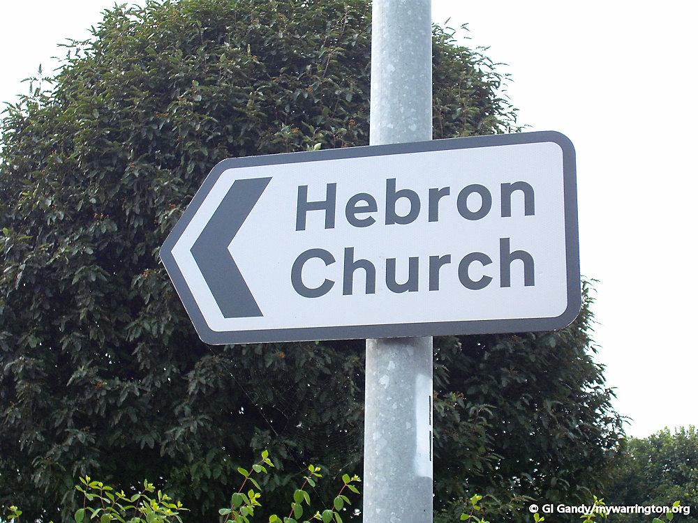
Hebron Church is on St Stephen’s Avenue and started out in the 1930s when members of Gospel Hall on Forster Street in Orford wanted to offer a Sunday School to the parishioners of Longford. As the fellowship grew larger, an extension to the building at Longford was required and in 1972 the building we see today was completed. Visite their website, where you can read more on their history.
Some final views of the district.
