
Including Hollins Green and Hollinfare


In 1870-72, John Marius Wilson’s Imperial Gazetteer of England and Wales described Rixton like this:
RIXTON, a township and a sub-district in Warrington parish and district, Lancashire. The township lies5½ miles E by N of Warrington, and bears the name of Rixton-with-Glazebrook. Acres, 2, 840. Real property, £4, 298. Pop., 752. Houses, 151. There are a Roman Catholic chapel, and charities £9.—The sub-district contains also two other townships. Acres, 5, 517. Pop., 1, 920. Houses, 379.
GB Historical GIS / University of Portsmouth, History of Rixton, in Warrington and Lancashire | Map and description, A Vision of Britain through Time.
URL: http://www.visionofbritain.org.uk/place/10776
Date accessed: 02nd September 2025
In 1870-72, John Marius Wilson’s Imperial Gazetteer of England and Wales described Hollinfare like this:
HOLLINFARE, a chapelry in Warrington parish, Lancashire; on the river Mersey, 2 miles N of Heatley and Warburton r. station, and 6 ENE of Warrington. Post town, Warburton, under Warrington. Pop., 752. The living is a p. curacy in the diocese of Chester. Value, £136. Patron, the Rector of Warrington.
GB Historical GIS / University of Portsmouth, History of Hollinfare, in Warrington and Lancashire | Map and description, A Vision of Britain through Time.
URL: https://www.visionofbritain.org.uk/place/24589
Date accessed: 02nd September 2025
Hollinfare or Hollins Green is a hamlet on the boundary of the two portions of the township of Rixton with Glazebrook and gives its name to the chapelry.
Back in Time
Introduction – Rixton with Glazebrook
Warrington and the Mid-Mersey Valley by G.A. Carter tells us Rixton consists of a personal name “Ric” and “Tun”.
Rixton and Glazebrook are mentioned in 13th century records, especially with the name Alan de Rixton who appears in records between 1200 and 1332 as one of two lords of the manor with the same name. Other people or names for Rixton include de Eiston 1246, Richeston 1260, 1262, de Ryckeston 1259, Rigston 1577 Harr. O.E. Rlc, as suggested by Sephton, or Rlcsige.*
*Information: The Place Names of Lancashire, a document in the public domain.
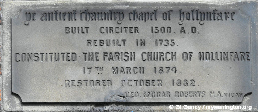
In 1384, Wiliam, Son of Matthew de Rixton sold all of his lands in Rixton and Glazebrook to Richard de Mascy. In the 15th century another member of the family, Hamlet de Mascy, endowed a chantry in the chapel at Hollinfare.
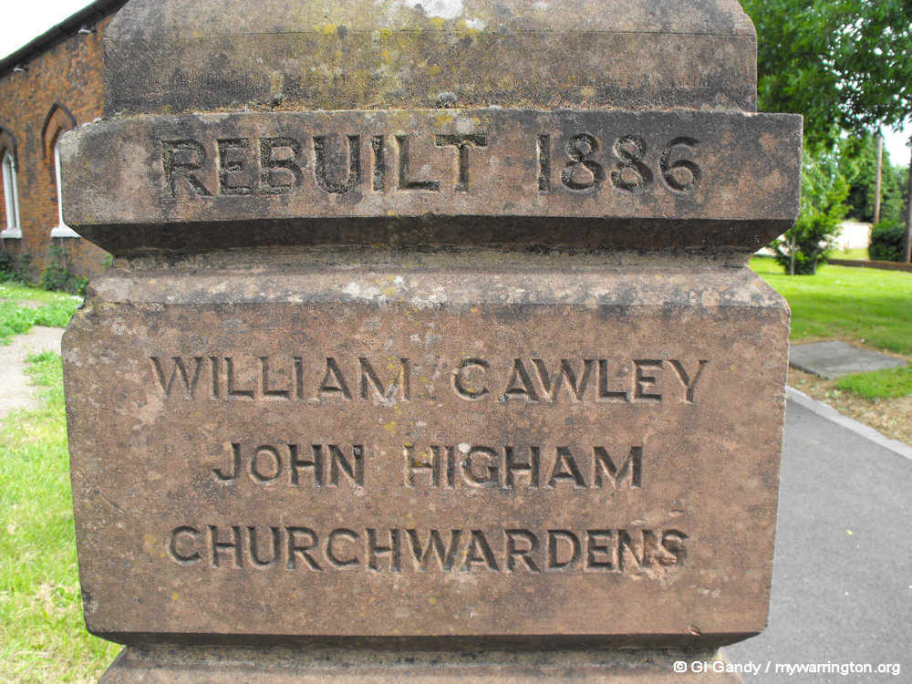
The Mascy family lived at Rixton (Old) Hall and survived in the village until the 18th century. The chapel was rebuilt in 1735 and constituted the Parish Church of Hollinfare in 1874. The church is now dedicated to St Helen and was restored in 1882.
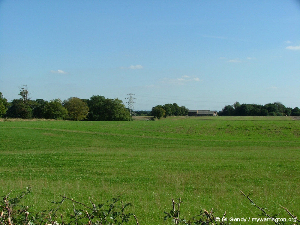
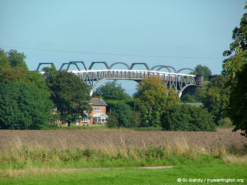
A long-distance view to Rixton New Hall Farm from Manchester Road on 28 May 2011.
Rixton Old Hall is a Grade II listed building. It was built in 1822 and had a moat. It is now used as offices. National Grid Reference: SJ 68406 89322 Read more at Historic England here and here.
Rixton New Hall is a working farm building. In 2014 planning chiefs at Warrington Borough Council opposed outline proposals for a new farm on the grounds it would be an inappropriate development in the Green Belt.
The plans were drawn up by the occupiers of Rixton New Hall Farm, Rixton who wanted to relocate and downsize.
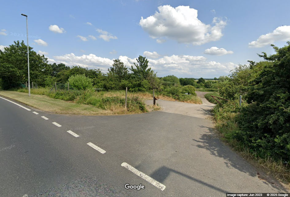
It would have involved two agricultural buildings – one for storage and the other for cattle rearing – and a farmhouse on land to the west of Holly Bush Lane, Rixton.
See Warrington-Worldwide for more.

Locations of Rixton Old Hall and Rixton New Hall. The A57 Manchester Road is at the top left of the photo. Image © Google Maps. Additional graphics: Author.
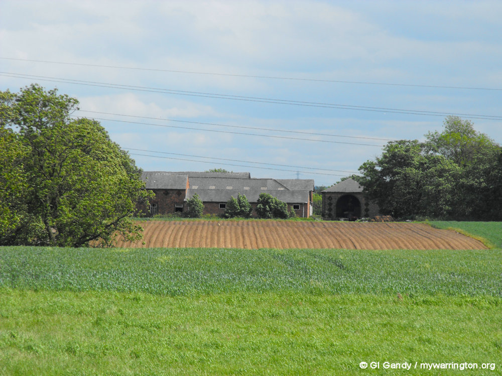
Rixton New Hall Farm off Manchester Road (photos taken 28 May 2011)
The Glaze Brook and the Sankey Brook were originally the eastern and western boundaries respectively of the ancient parish of Warrington. Rixton with Glazebrook is a civil parish in the unitary authority of Warrington. The parish of Rixton with Glazebrook was originally a township within Warrington parish before becoming a separate parish in 1866. It was part of the Warrington Poor Law Union and, from 1894, Warrington Rural District, and the District of Warrington from 1974. See Council Fax for more details of council types.
The first part of the name “Glas” is an old river name, although two other meanings of “Glas” are “bright” and “green or blue”. Other people or names for Glazebrook include de Glasbroc 1227, Glasebrok 1246, Glasbrok 1258, Glazbrok 1259, Glasebroc 1261 1341 and Glasebroke 1382. The place was named from the Glazebrook, which forms the eastern boundary. It is also known as the River Glaze.*
*Information: The Place Names of Lancashire, a document in the public domain.
The Manor of Glazebrook was owned by the Warburton family and in 1384 Geoffrey de Warburton passed his manor to Hamlet Mascy. This led to the combining of the two areas which became known as Rixton with Glazebrook, and incorporated the existing hamlet of Hollinfare.
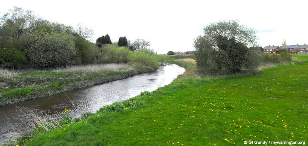
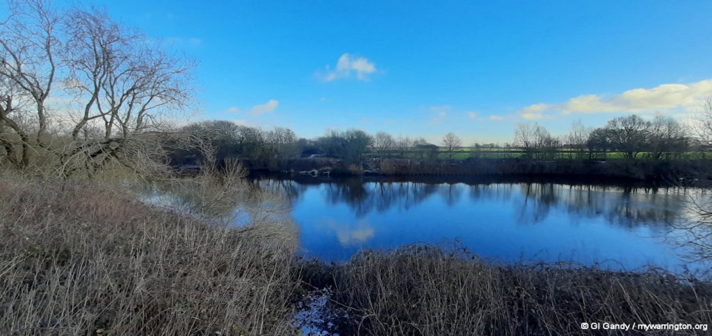
The Glaze Brook, after which the area got its name (photo 30 Apr 2012)
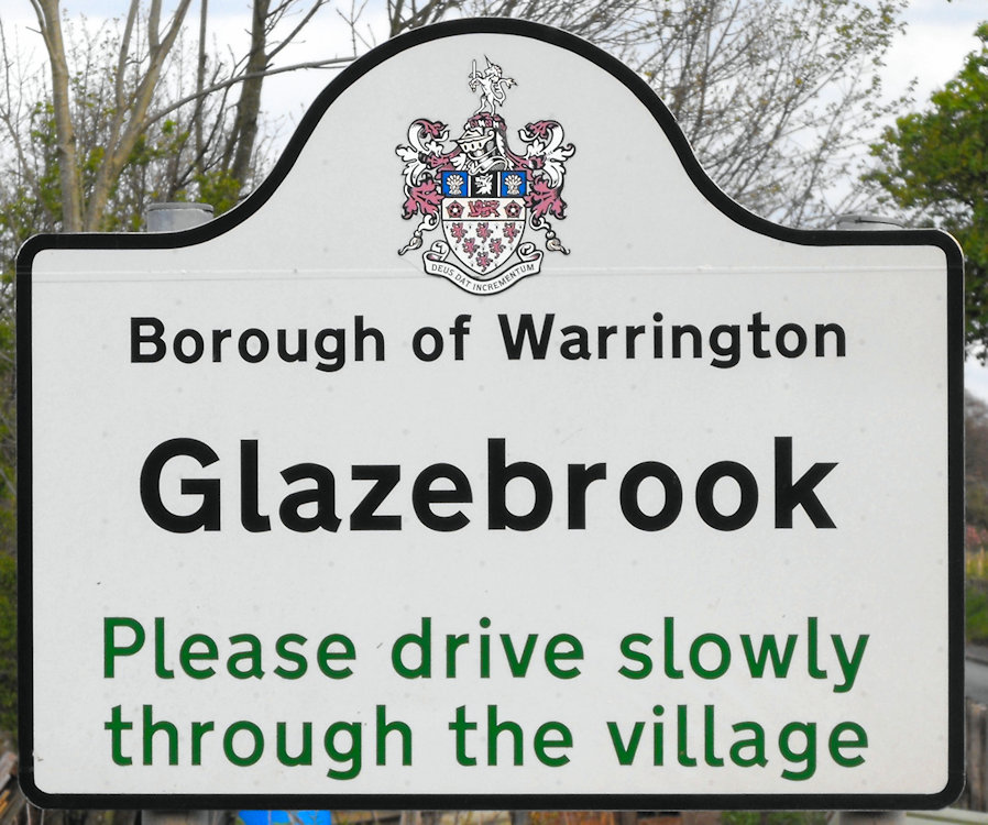
Rixton with Glazebrook borders Cadishead and is largely farmland. The area begins east of the M6 motorway at the junction of the A57 Manchester Road and Brook Lane and stretches to its junction with Cadishead on the A57 Manchester Road and Glazebrook Lane.
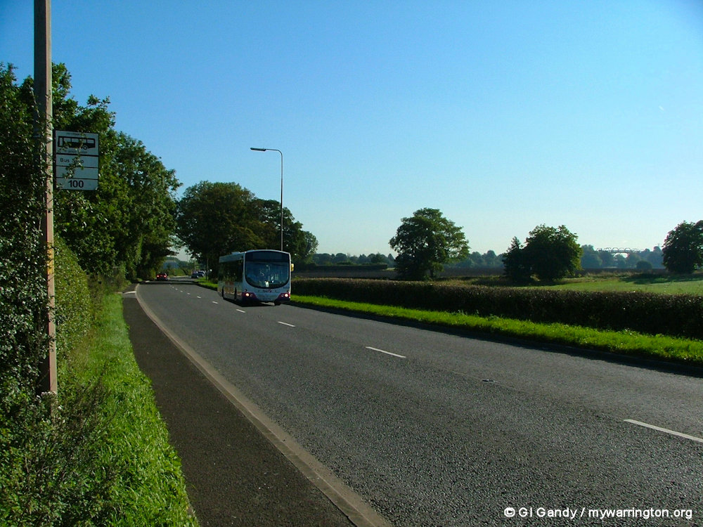
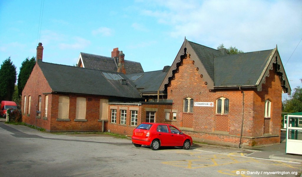
Glazebrook includes the roads around Glazebrook Lane from its junction with the A57 Manchester Road and the M62 motorway at Holcroft Lane. Glazebrook railway station is in the centre of the village and was opened on 2 September 1873, offering services to Liverpool, Manchester and beyond. The district is also served by the Beeline No 100 bus service along the A57 Manchester Road between Manchester and Warrington..
Eastern boundary by the Glaze Brook at Cadishead (photo 30 Apr 2012)
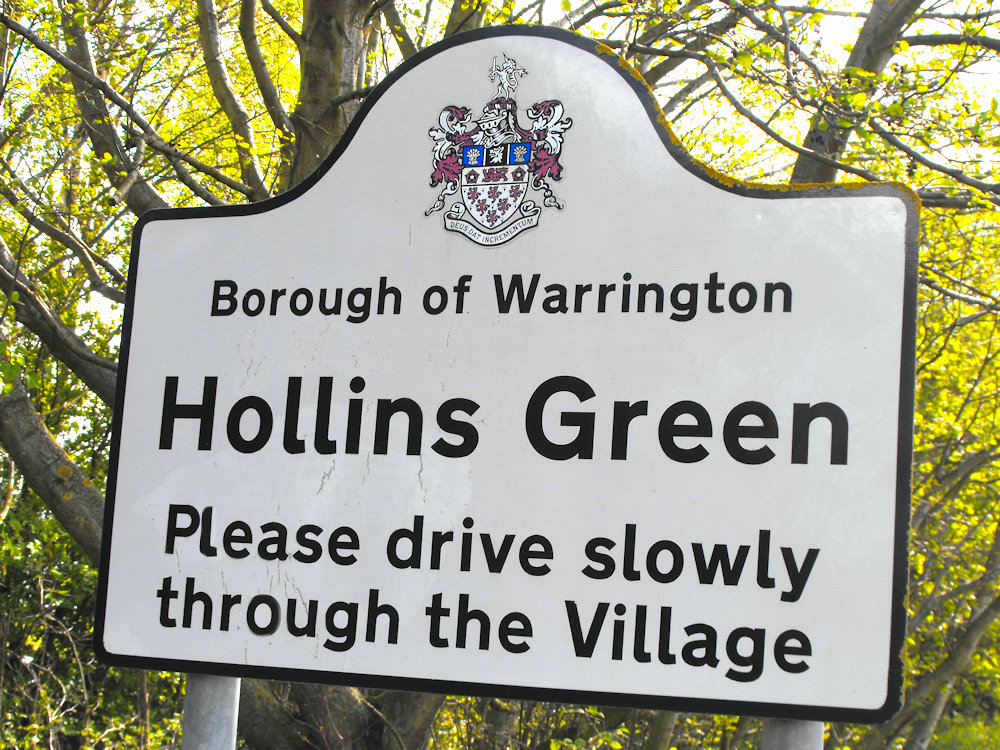
Introduction – Hollinfare/Hollins Green
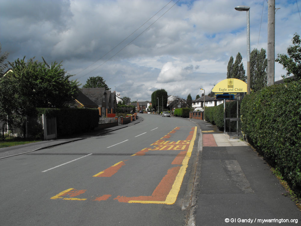
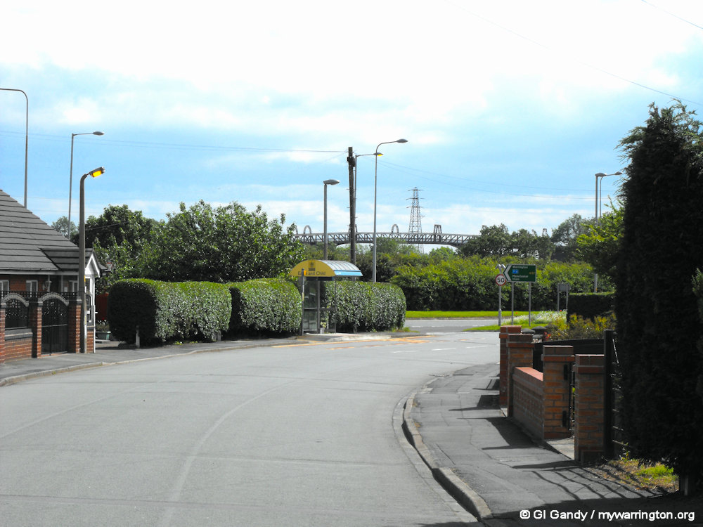
“Le Fery del Holyns” is mentioned in a murder case recorded in the Assize Rolls of 1352 and the ferry across the Mersey at this place was used by the Duke of Cumberland in December 1745 in his pursuit of the Young Pretender. The road leading to the ferry crossing was called Boat Brow on the 1888 map. There was an inn close to the ferry crossing on Boat Row. Opposite that road on Manchester Road in the village was the Eagle and Child public house. See the National Library of Scotland online map.
In 1835 Hollinfare was a chapelry (a district served by an Anglican chapel) in the township of Rixton with Glazebrook, in the parish of Warrington. It is located on the eastern boundary of Warrington close to the Glaze Brook. The name Hollinfare is formed from two Old English words, “holegn” meaning “holly”, and “fare” means “ferry” or “ford”.
Around the District
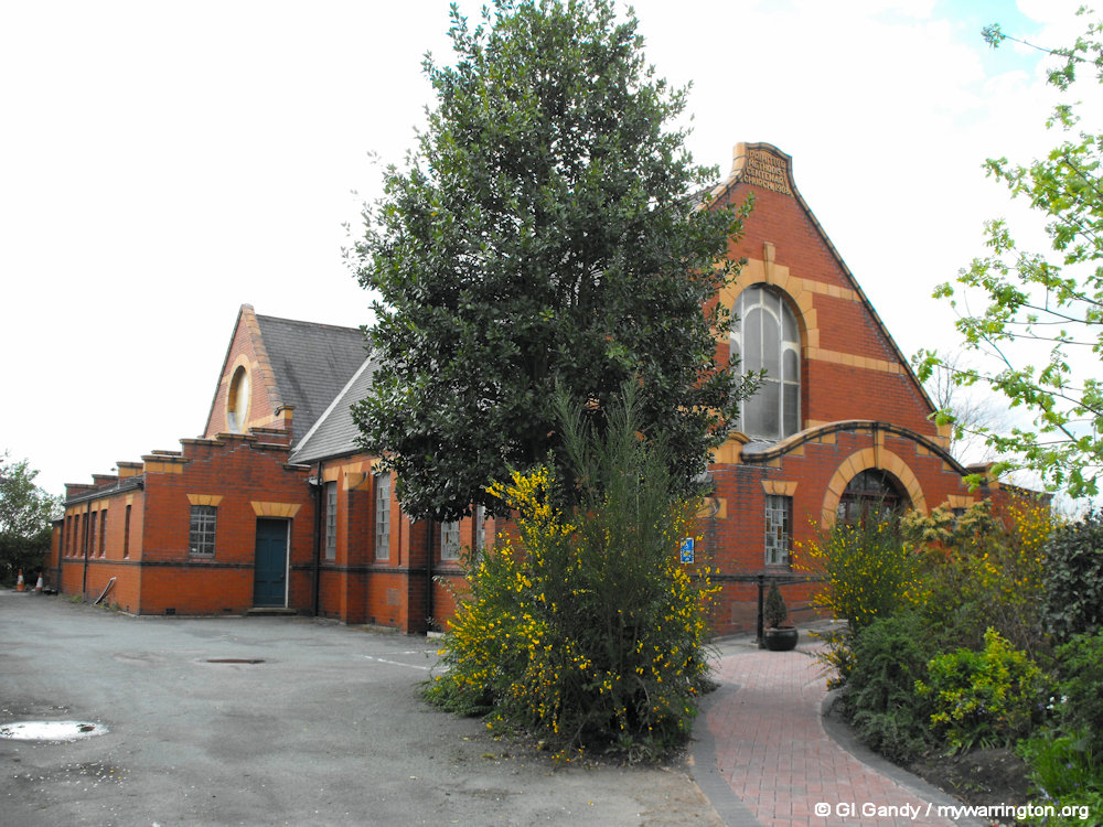
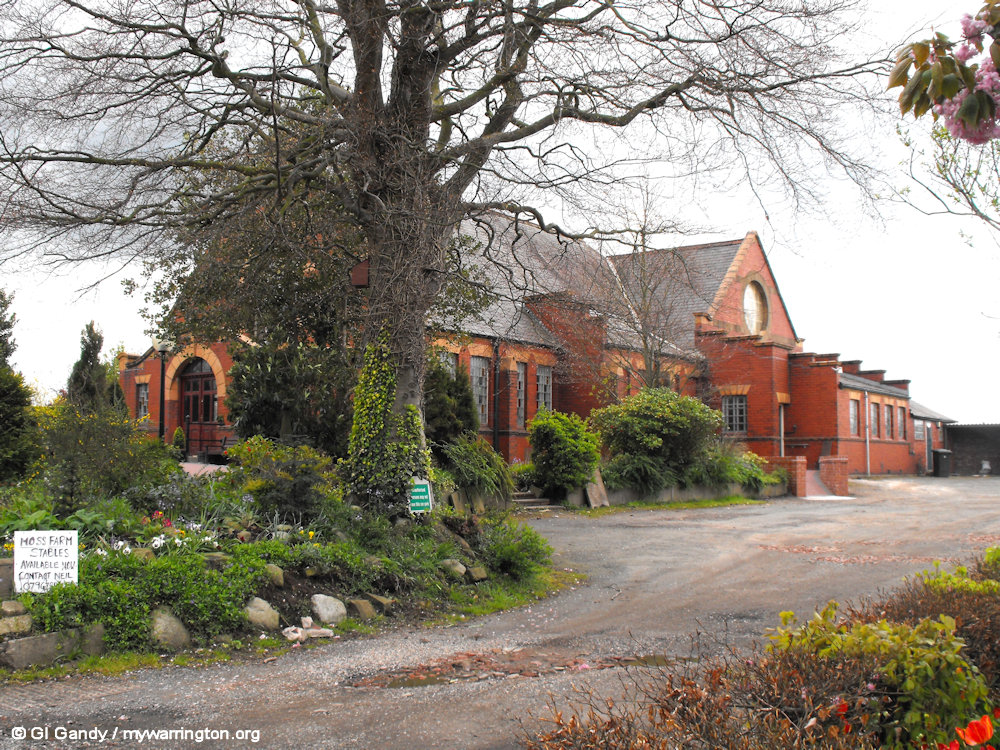
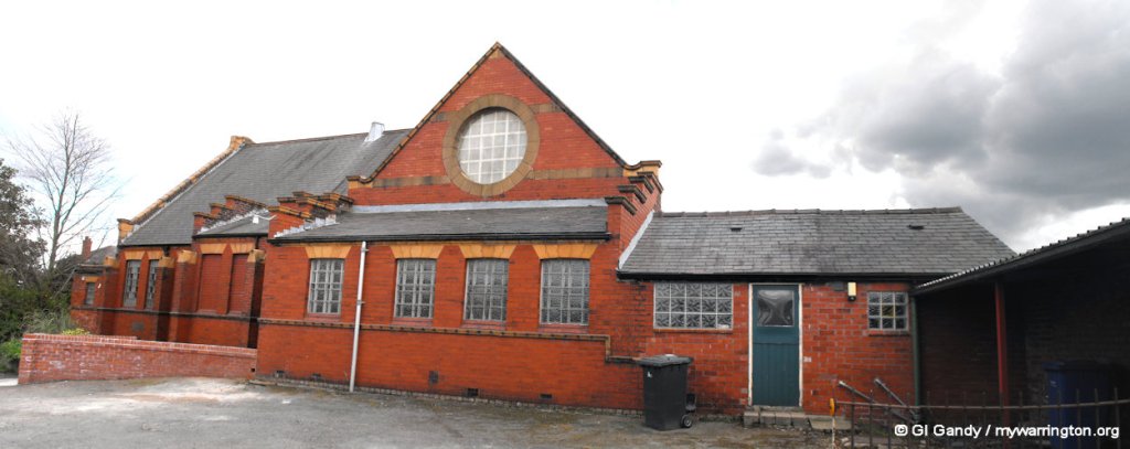
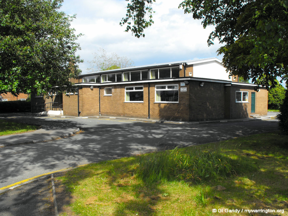
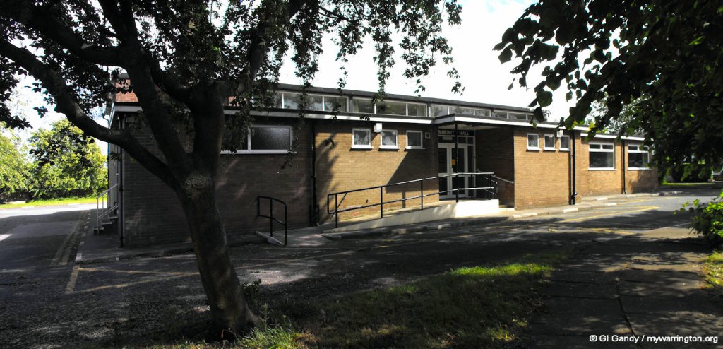
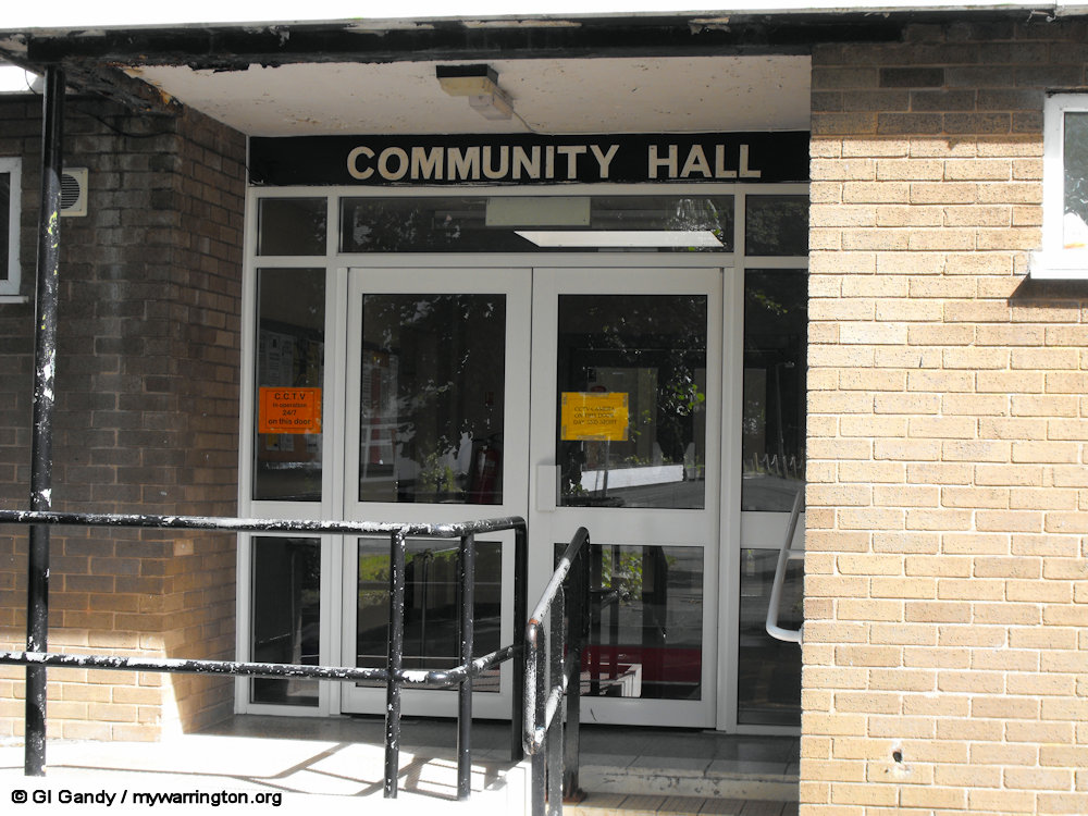
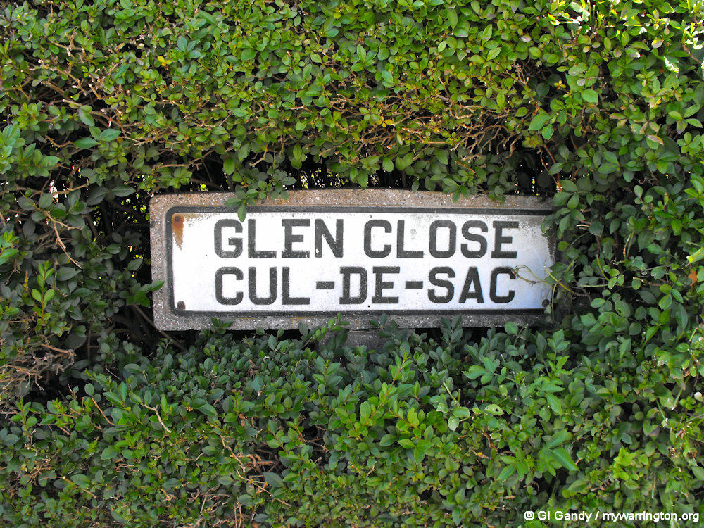
If you are familiar with the Rixton, Glazebrook, Hollinfare and Hollins Green areas, you will know how they intermingle with each other at times. For instance, Rixton with Glazebrook Community Hall is given the address of Manchester Road, Rixton, even though it comes under Hollins Green on the map.
It’s a bit like the city of Salford being within the boundary of the city of Manchester. With that in mind, I will start with the Rixton area, then Glazebrook and then Hollinfare and Hollins Green. But be advised: I will need to cross over and back again over the four named areas.
Rixton Boundary
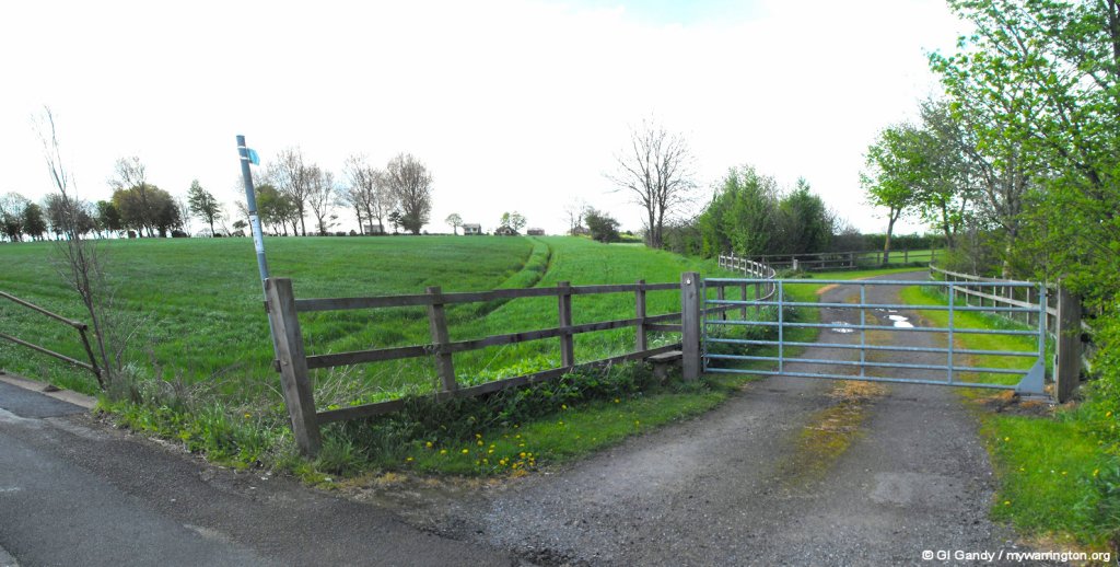
The boundary of Rixton (from the west, clockwise) is Brook Lane at its border with Woolston, Risley Moss in the northwest, School Lane and Dam Lane in the east and Manchester Road with its border at Cadishead and Glaze Brook and the Manchester Ship Canal (MSC)/ river Mersey in the south (the MSC and Mersey flow into each at various points along their routes).
At Hollins Green, Manchester Road has two sections: the main east-west bypass and the carriageway through the village.
Rixton with Glazebrook is bordered with Woolston from the west. The boundary is seen here on Manchester Road at its junction with Brook Lane on 19 January 2023.
Rixton Claypits Nature Reserve
Rixton Claypits Local Nature Reserve is located in the west of the district. Originally an old clay extraction site, it is now a Site of Special Scientific Interest, having received that accolade in 1979. See Warrington Green for more details.
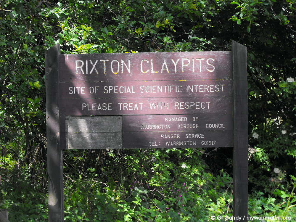
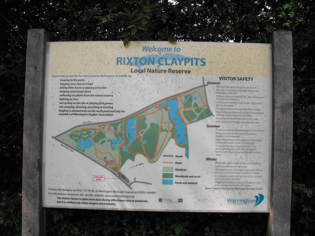
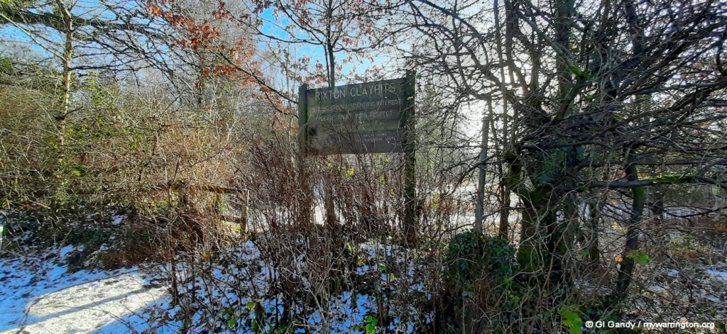
Rixton Claypits Nature Reserve
Milestones
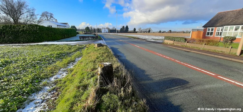
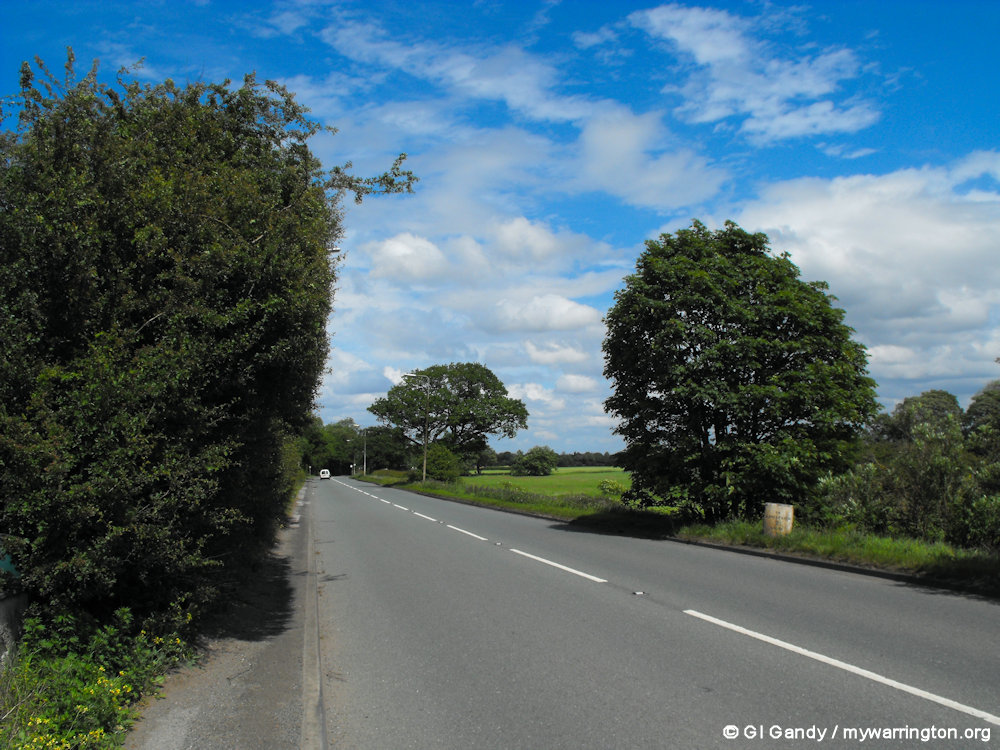
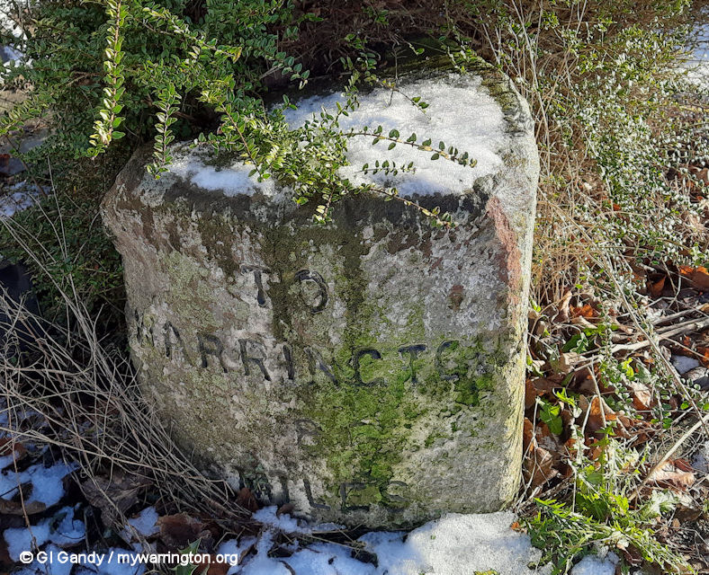
There are two milestones in Rixton on Manchester Road. A third is on Manchester Road in the Hollins Green area of the district. All three are Grade II listed and were erected by the Warrington & Lower Irlam turnpike trust in the 19th century. Manchester Road became a turnpike road in 1753.
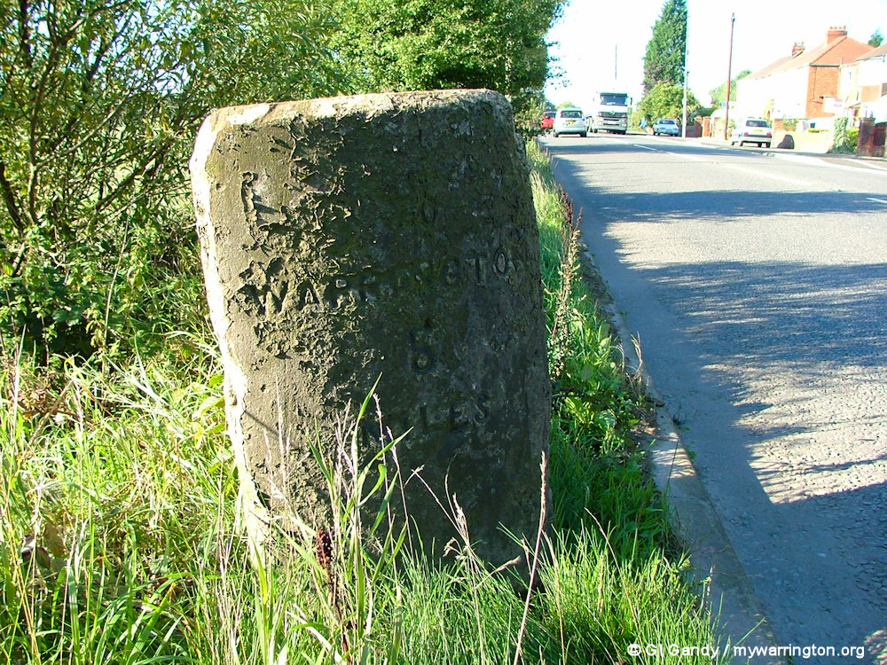
The first milestone is a hundred metres from Holly Lane. It was erected before 1849 and first listed on 6 Mar 2008.
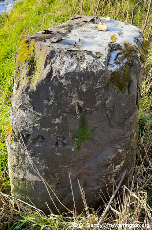
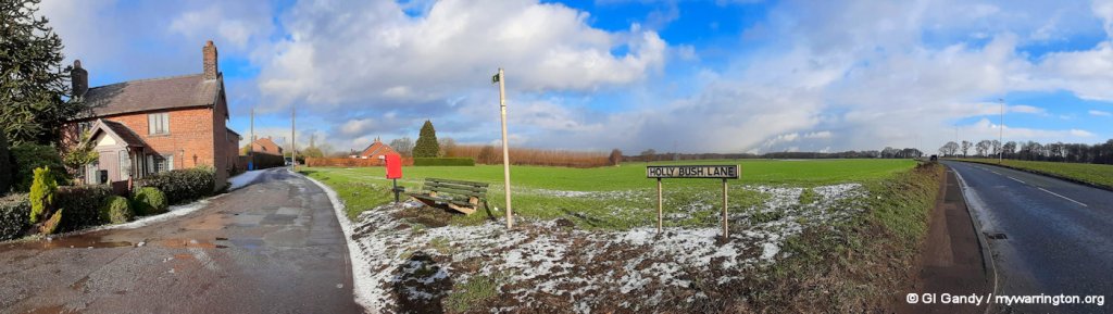
List Entry Number 1392447 is close to Holly Bush Lane and is viewed west (1st two images) and east.
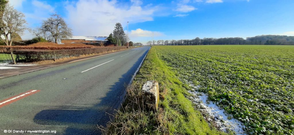
The second milestone on Manchester Road is located near Moat Lane. It was erected before 1849 and first listed on 6 Mar 2008.
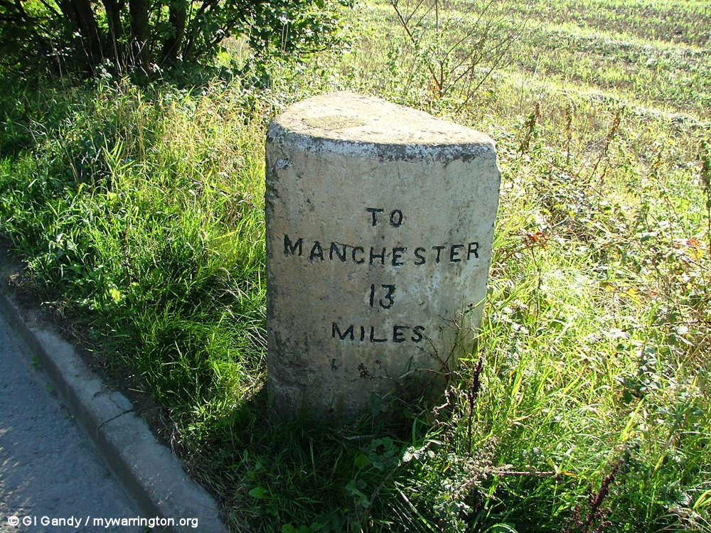
List Entry Number 1392446 is close to Moat Lane and is viewed east (1st two images) and west.
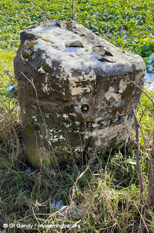
The third milestone is on Manchester Road in Hollins Green. It was erected before 1848/9 and first listed on 6 Mar 2008.
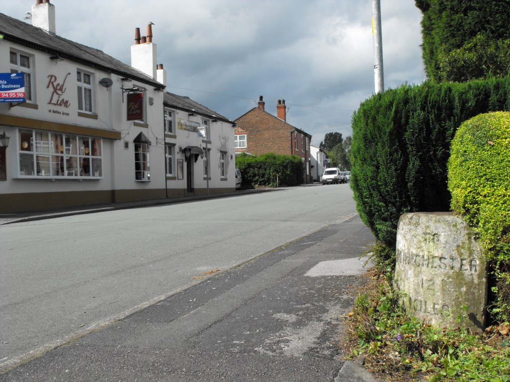
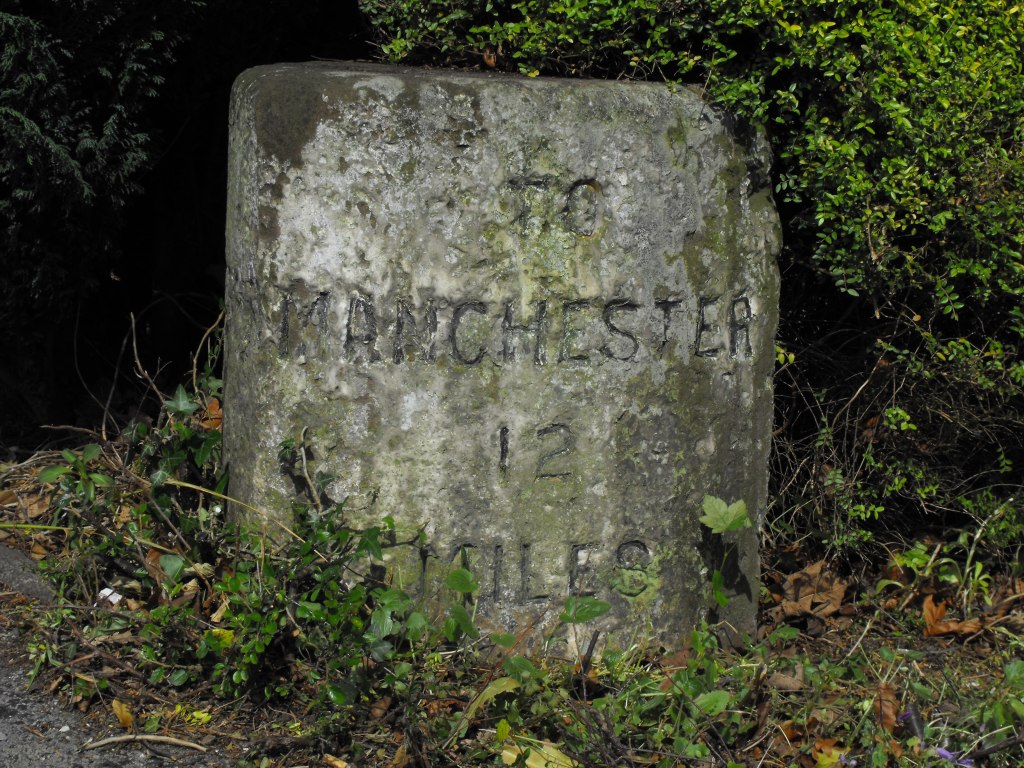
List Entry Number 1392448 on Manchester Road in Hollins Green.
The village includes Cheshire Brick Works (on Moss Side Lane), a gas pumping station, Ramswood Garden Centre and a blacksmith’s forge.
Moss Side Lane (19 Jan 2023)
Cheshire Brick Works on Moss Side Lane (19 Jan 2023)
School Life
There is one primary school in the village of Hollins Green/Hollinfare.
The first school building opened in 1878. The second (current) building opened in 1967.
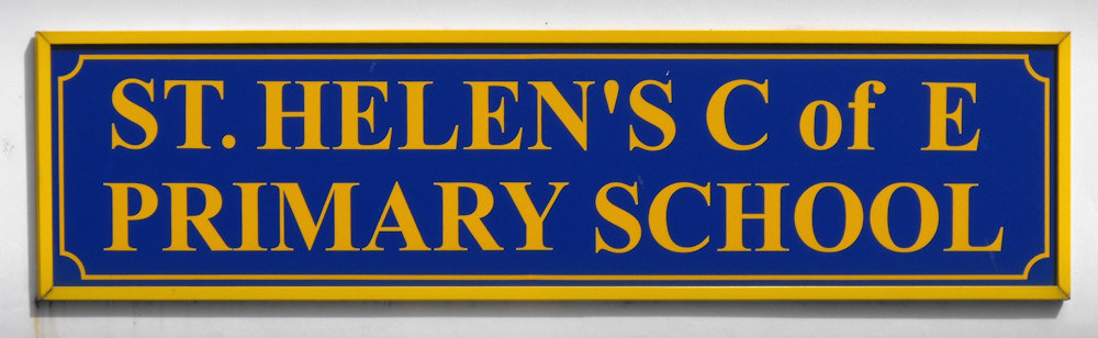
This is St Helen Church of England Primary School on Birch Road.
The school’s nursery is called Little Stars.
To connect with the school, see their website.
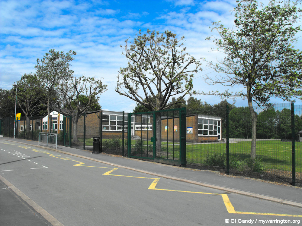
St Helen’s Primary School (28 May 2011)
Church Life
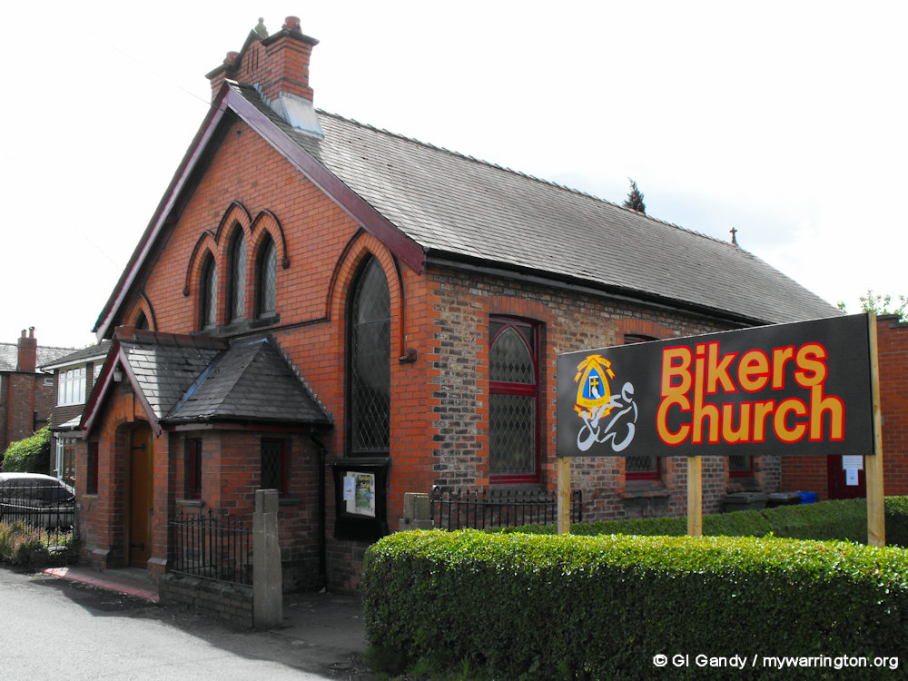
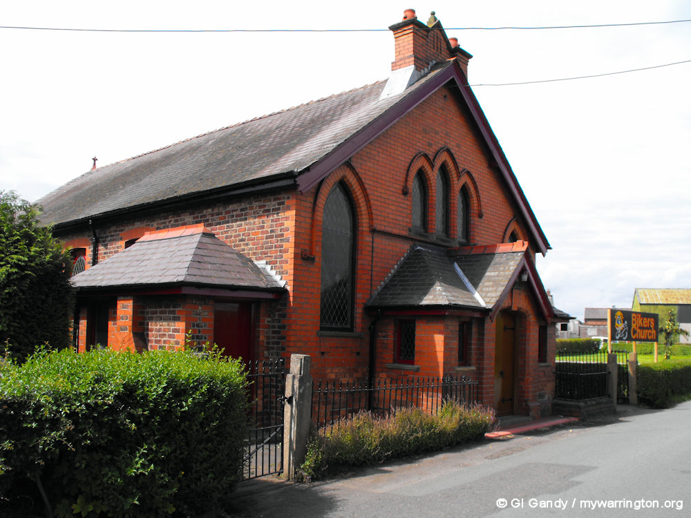
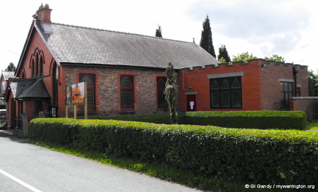
Rixton Methodist Church
Rixton Methodist Church was built in 1843 on Chapel Lane in Rixton. The building was replaced in 1904 and the church is still active. The church does not have a graveyard.
It is called the Bikers Church because the Christian Motorcyclists’ Association uses the building.
My photos were taken on 28 May 2011
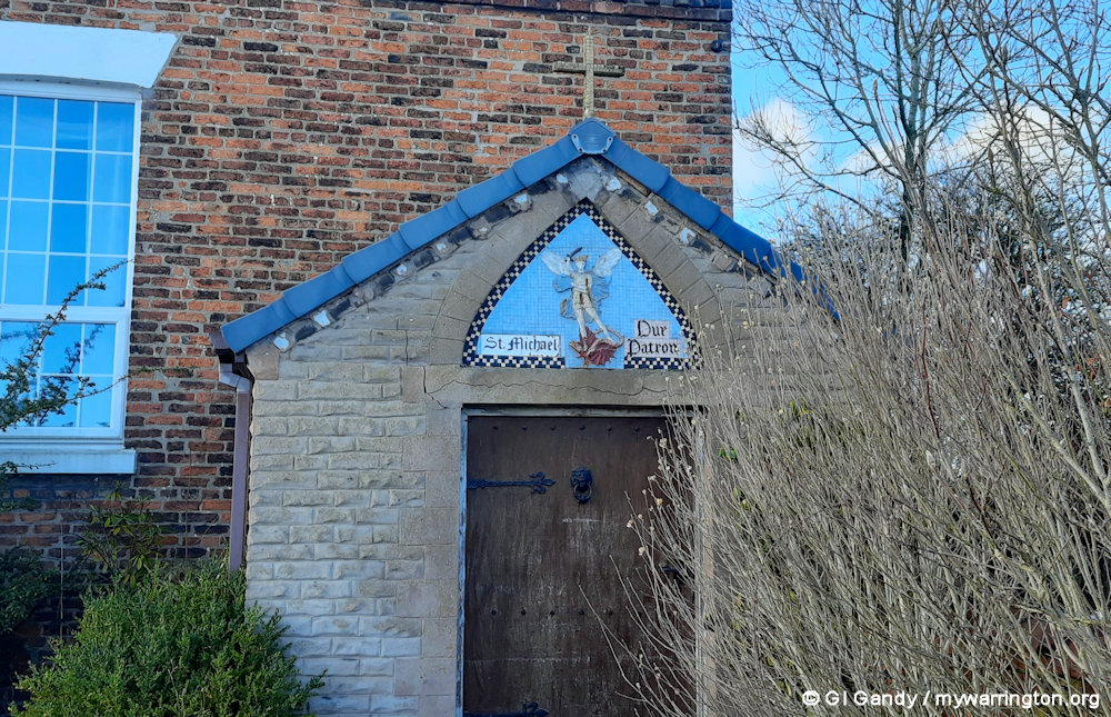
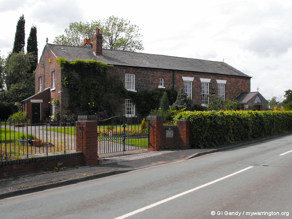
St Michael’s Catholic Church
The Roman Catholic Church of St Michael was built on Moss Lane in 1831 and closed in 1975. The property is now a private residence.
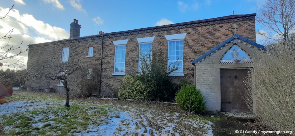
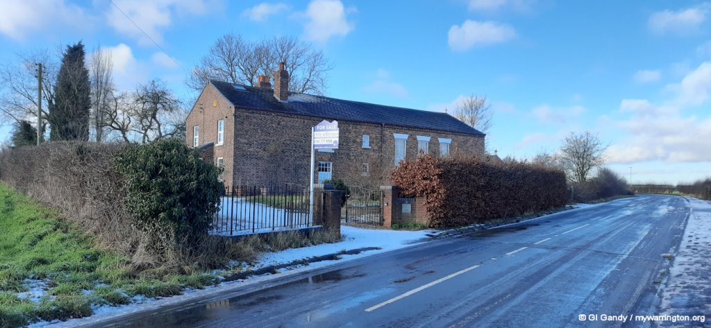
The first three photos were taken on 19 January 2023. The fourth was taken on 28 May 2011.
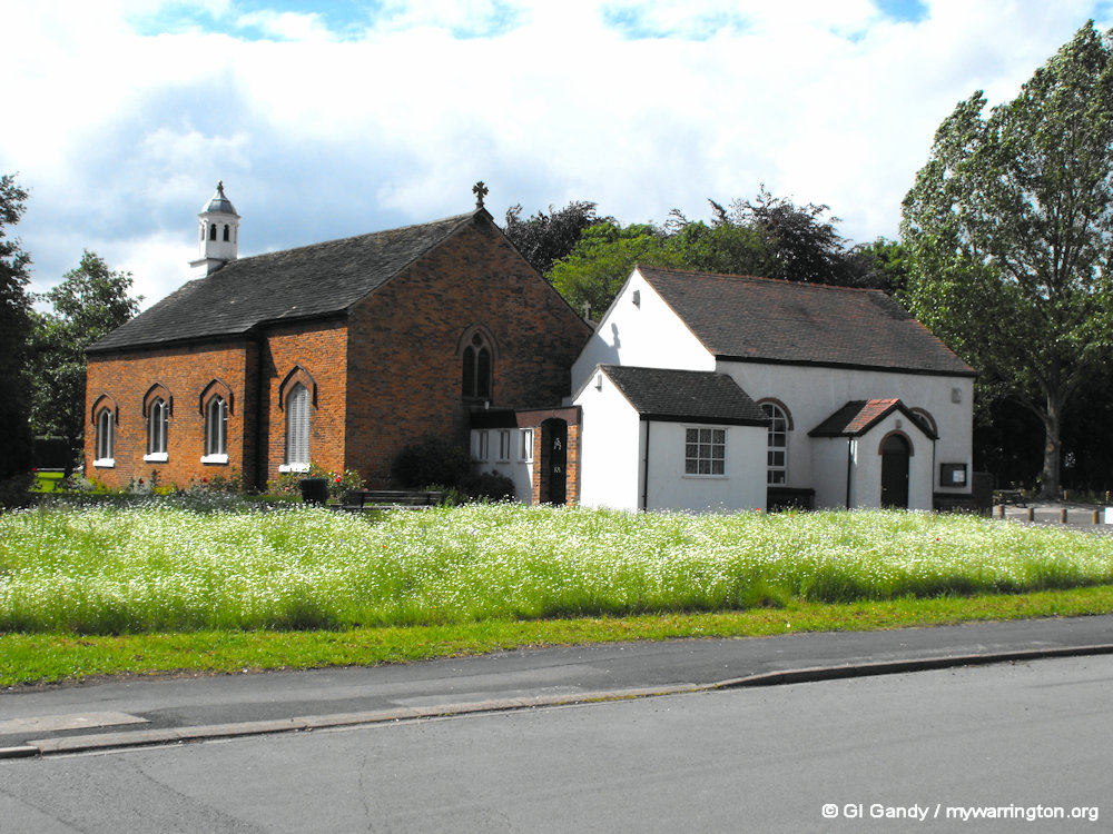
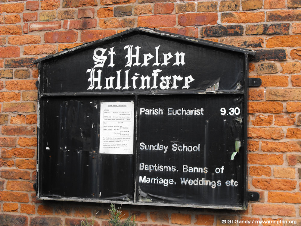
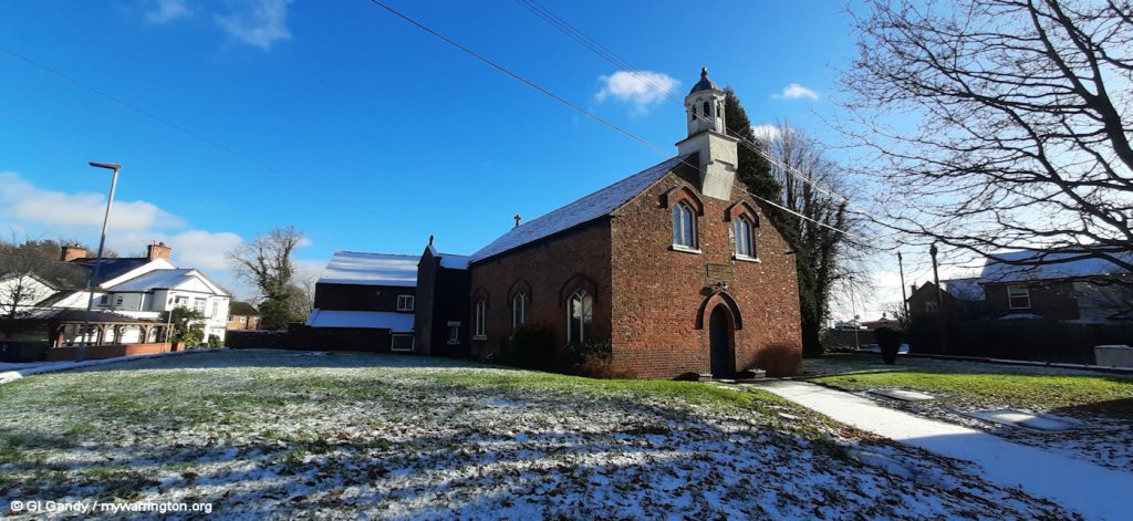
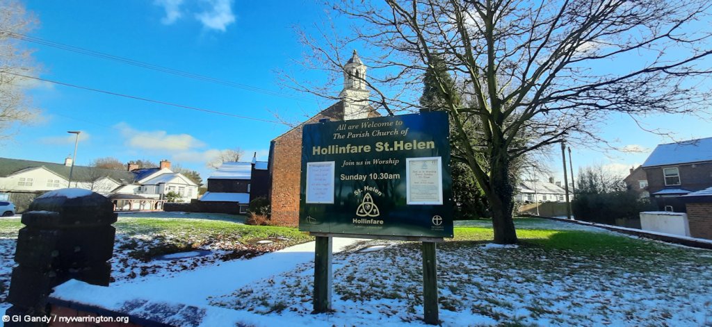
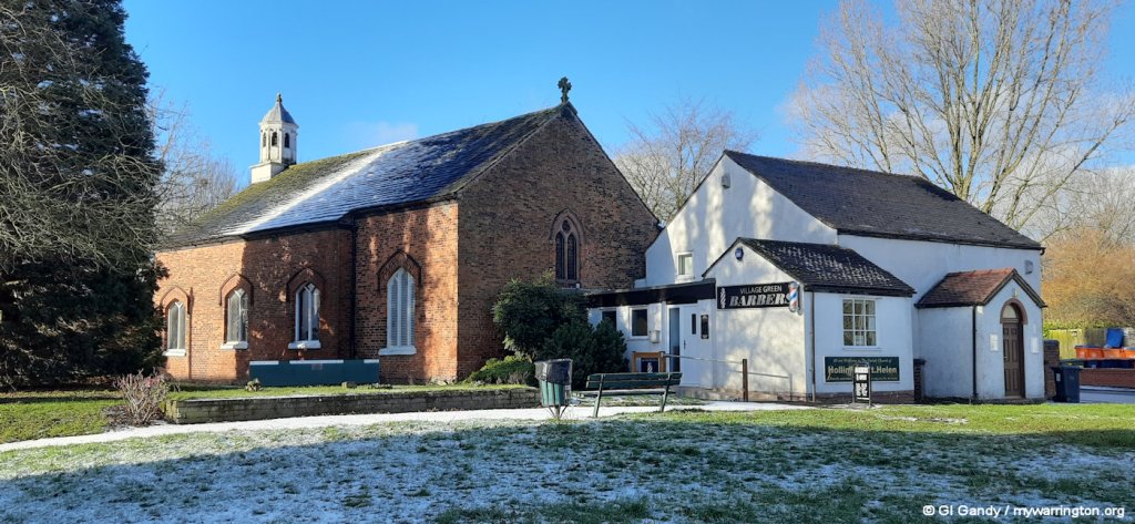
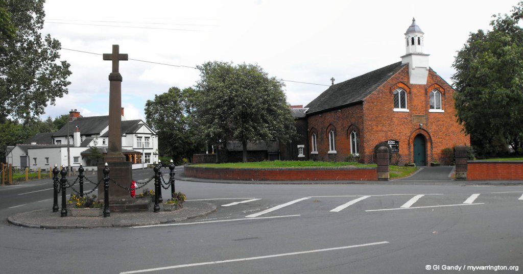
St Helen Church, Hollinfare
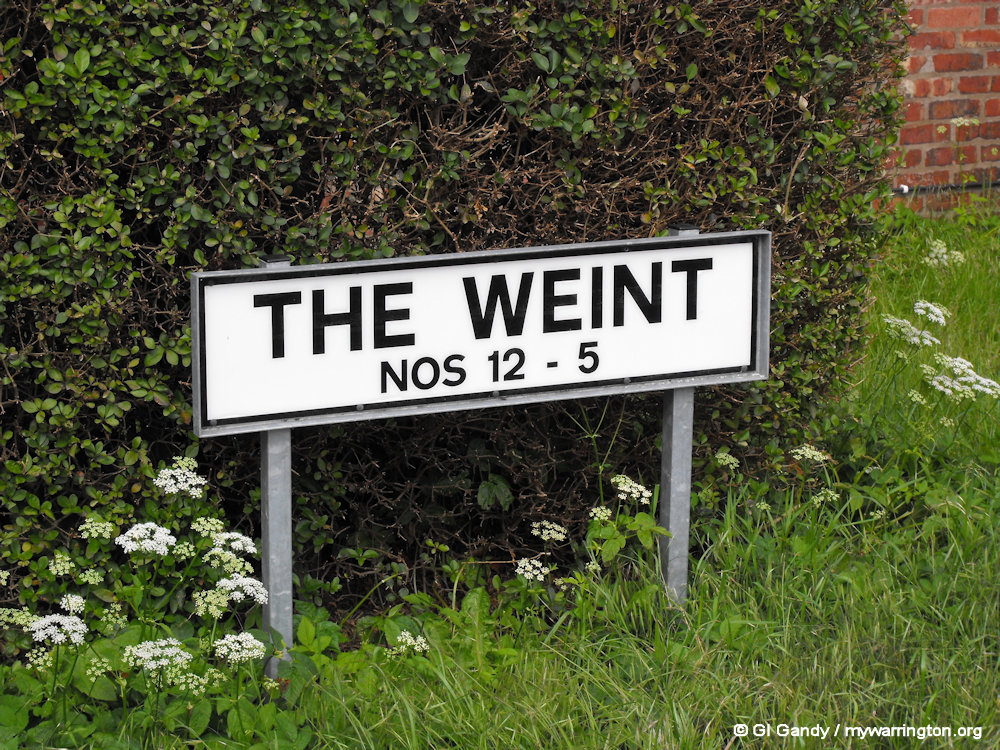
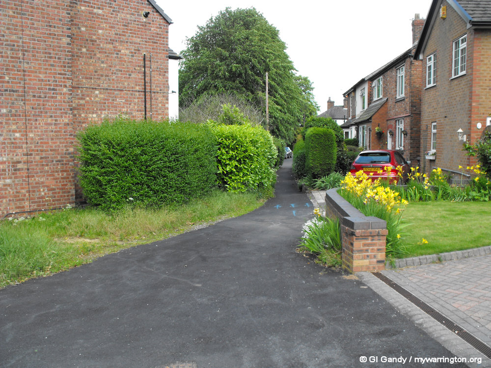
St Helens is a Church of England church (on an ancient site bordered by a footpath called ‘The Weint’). There has been a place of worship in this area since 1497.
The church has had an active Sunday school since at least 1820, a fine musical tradition led by their organist and choir and a dedicated Friends organisation who have established a magnificent history room for the whole parish within Church House. The Friends hold regular talks and exhibitions of the archives.
The churchyard was closed for burials in the 1890s but is also a most attractive and well cared-for feature with two trees that are illuminated on special occasions and at Christmas.
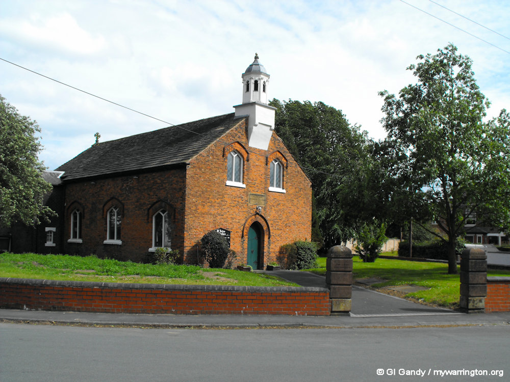
St Helen Church, Hollinfare (28 May 2011)
Because worship has been taking place on the site since the 15th century and most of the present building being completed in the 18th, they have to cope with all the problems from which ancient churches suffer. The Church House building was completely refurbished in 2015-16 with a new choir vestry being created and new tables and chairs acquired. Two of the roofs were re-covered. One of British history’s most infamous characters, Colonel Thomas Blood, the man who attempted to steal the Crown Jewels, married the daughter of the house and lived there.
St Helen Church (28 May 2011)
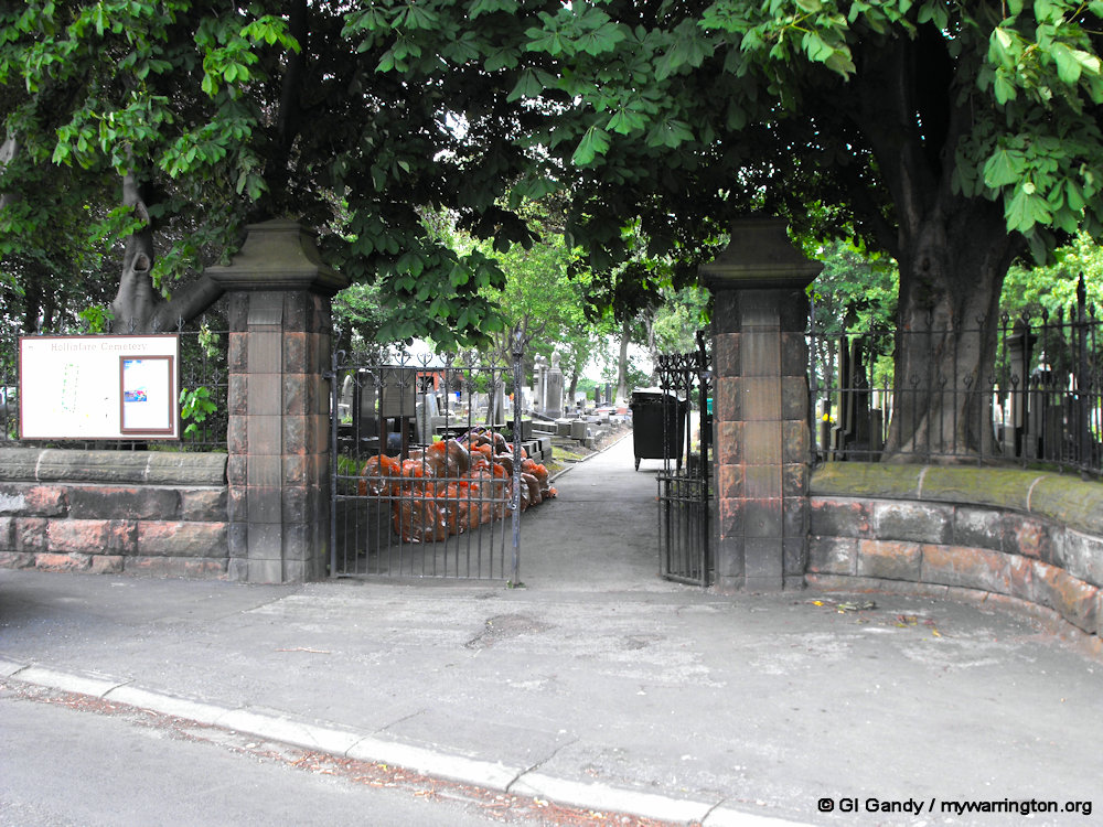
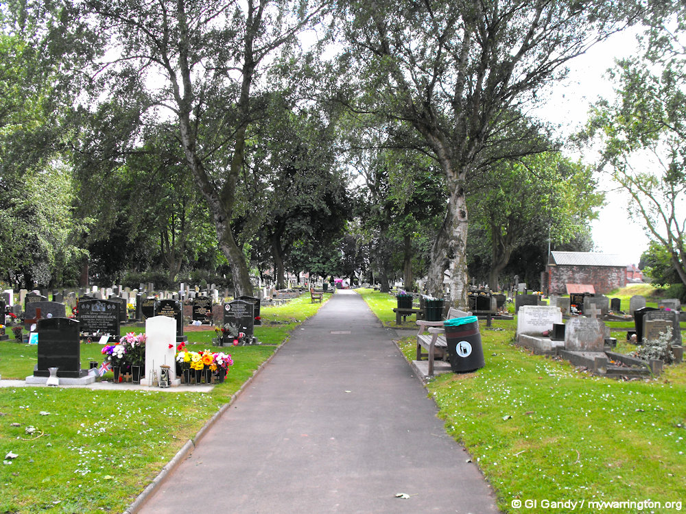
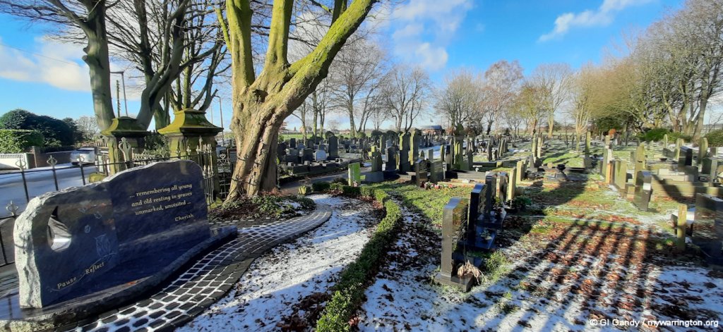
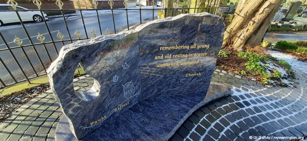
Hollinfare Cemetery
Hollinfare Cemetery on Dam Lane opposite St Helen Church was originally opened as a burial ground of the Warrington Rural District Council in the Parish of Rixton with Glazebrook. The first burial took place on 13 December 1894. Sadly it was for a one month old child named Herbert Hudson.
The graveyard is now administered by Bereavement Services at Warrington Borough Council. There are separate sections for Roman Catholic, Church of England, Dissenters and Inter-denominational faiths.
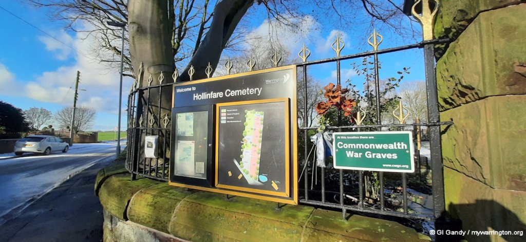
Hollinfare cemetery (19 Jan 2023)
The Friends of Hollinfare Cemetery are a volunteer group who work alongside the council staff in looking after the flower beds, cleaning headstones and composting.
Any legal or technical matters are undertaken by the council, with the friends group taking care of the historical and community side of things.
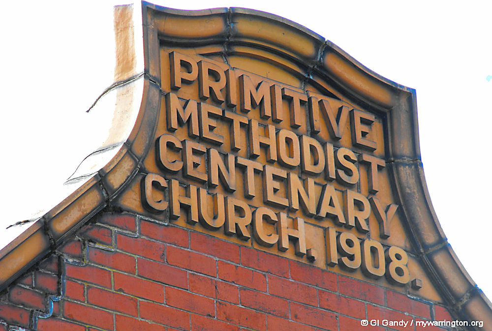
Glazebrook Methodist Church
The church was founded in 1896 and the present chapel was erected in 1908. When the Leigh Circuit joined the new United Methodist Church in 1932, the Church remained with them, only joining the much nearer Cadishead Circuit in 1939. It is now part of the Salford Methodist Circuit.
The building is large, red brick construction with ochre brick decoration and occupies quite a large piece of land.
John Wesley may be the best-known of the Methodist pioneers, but he was not the first or only one. The earliest ‘Methodist’ preaching in Britain was in the 1730s in Wales (consider the ministry of Howell Harris). Methodism was part of an international movement, often traced to the ‘Pietists’ in Germany in the 1600s, which came to Britain through the Moravians – who John Wesley had met on his ill-fated visit to America. See Methodist.org.uk for more.
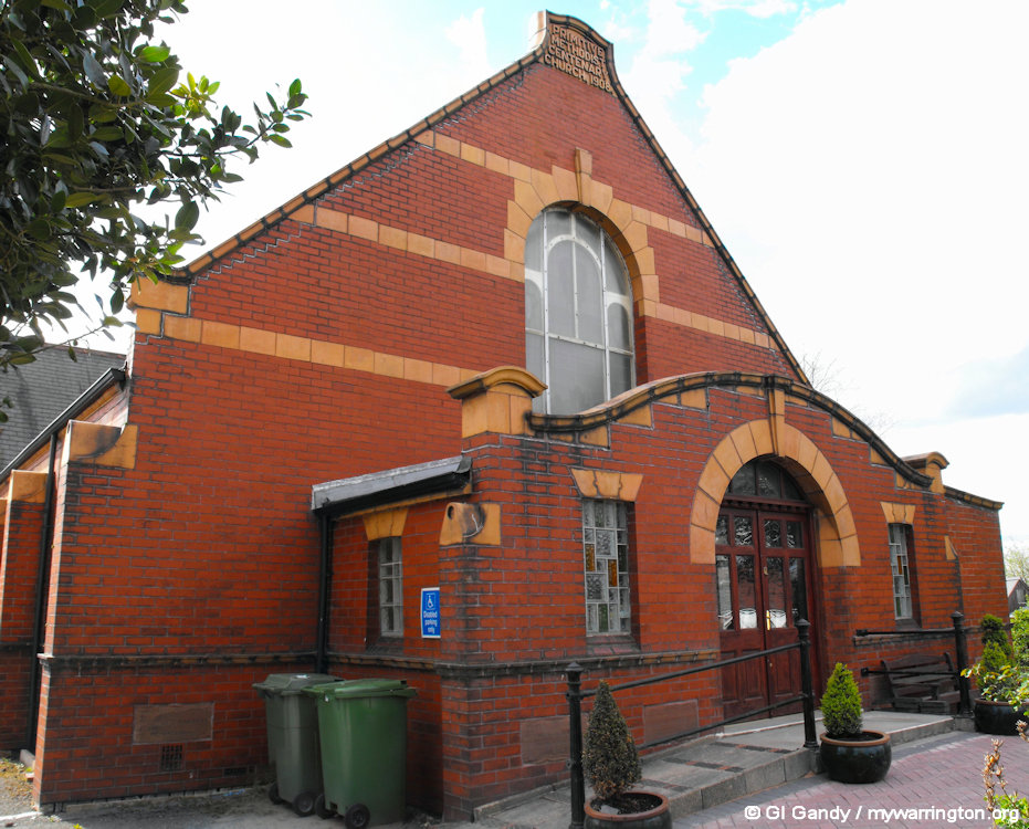
Glazebrook Methodist Church (30 Apr 2012)
The main difference between the Primitive and Wesleyan forms of Methodism is that Primitive Methodism arose as a working-class-focused revivalist movement emphasizing open-air camp meetings and local control, while Wesleyan Methodism was the original, more established Methodist denomination, characterized by a middle-class base and formal governance, though both shared a common heritage in John Wesley’s teachings. Primitive Methodists were expelled from the Wesleyan church for their passionate, open-air style of worship, which differed from the more structured, indoor worship of the Wesleyans.
(Notes on the differences between the different branches of Methodism based on an AI overview.)
Glazebrook Methodist Church (30 Apr 2012)
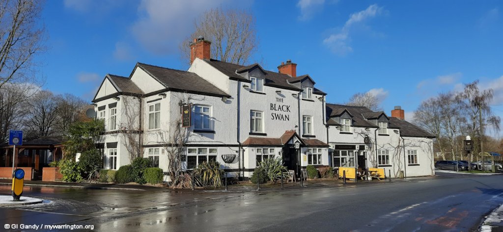
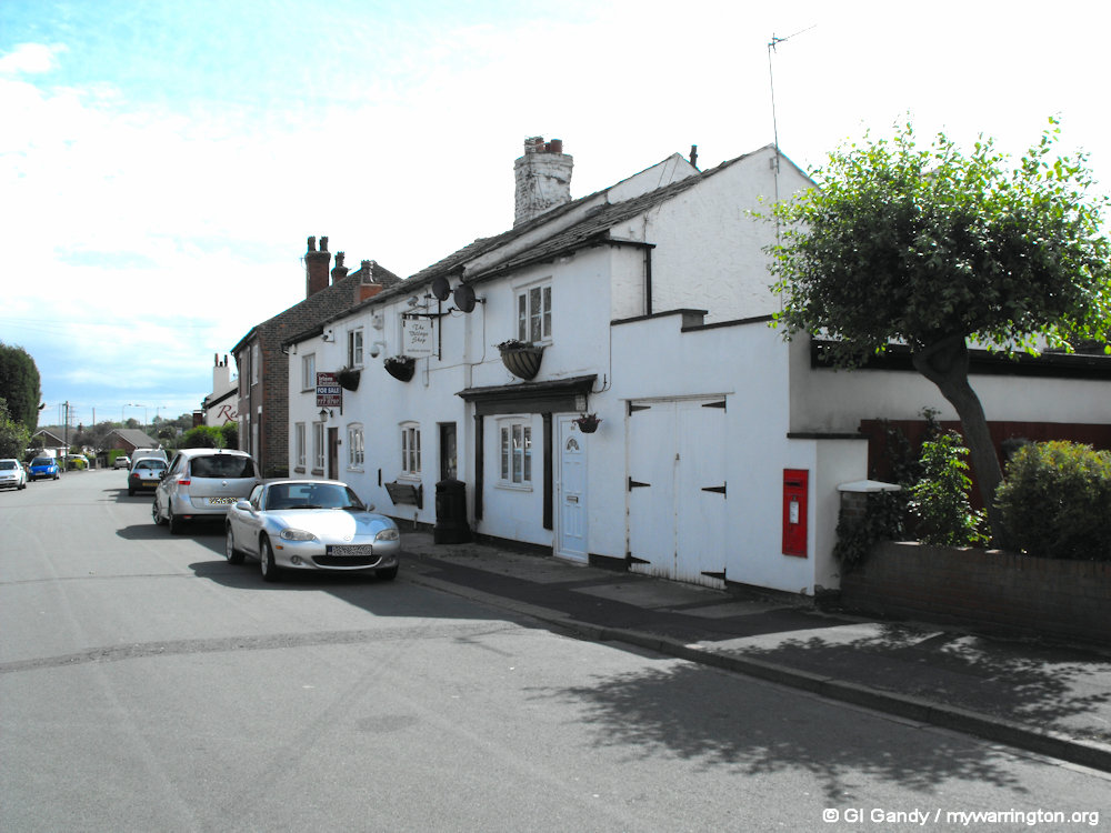
Pub Life
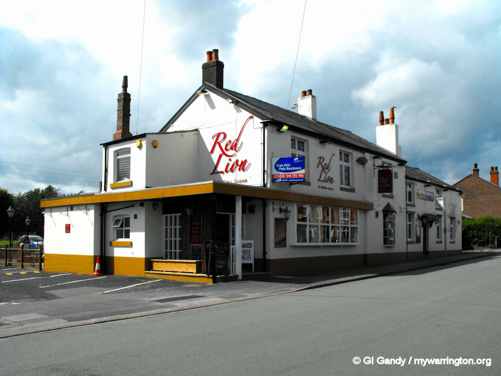
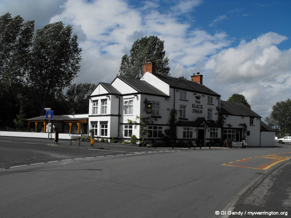
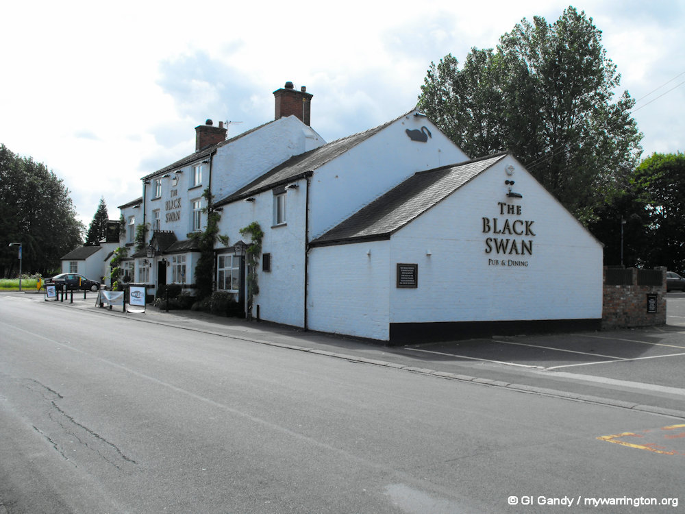
There are two public houses in the village of Hollins Green, The Black Swan and the Red Lion, which had changed its name to Lal Sher/Red Lion and serves Indian and English food at the time of the Google image taken in 2024. Three more pubs are shown on the old map: the Boat House Inn and the Eagle and Child on Manchester Road as you enter the village from the west, and the Bowling Green Inn on the site of Rixton Community Hall, which featured, not surprisingly, a bowling green. All five are marked on the OS 25 inch map of 1892-1914. A bus stop marks the spot of the Eagle and Child today.
I recommend those maps because they cover the whole of the UK, so they are very useful for other research, like seeing what was on the land occupied by your home or workplace, for instance. For starters, click on the link above and scroll around.

Let’s Go Walkabout
For the remainder of the page, let’s look at some of the other things going on around the district of Rixton with Glazebrook, Hollins Green and Hollinfare. We’ll start with community facilities.
The Weint is an ancient footpath. Today houses are built alongside it.
The Old Vicarage on School Lane is now a private residence.
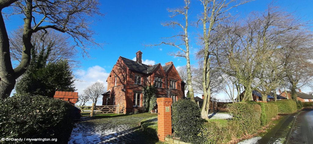
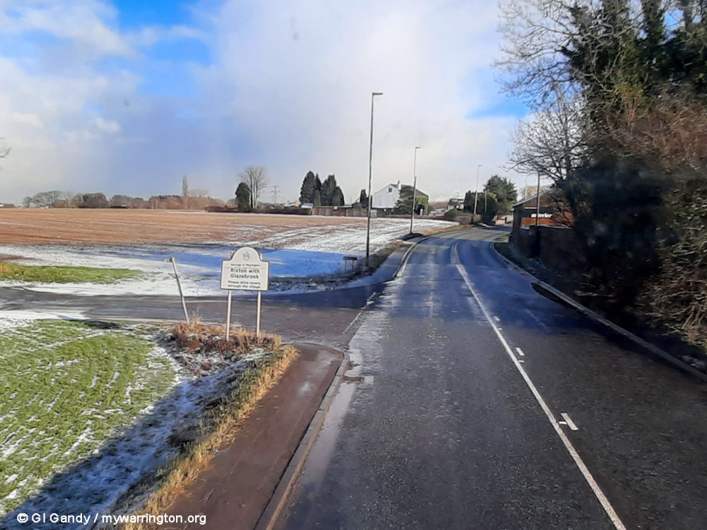
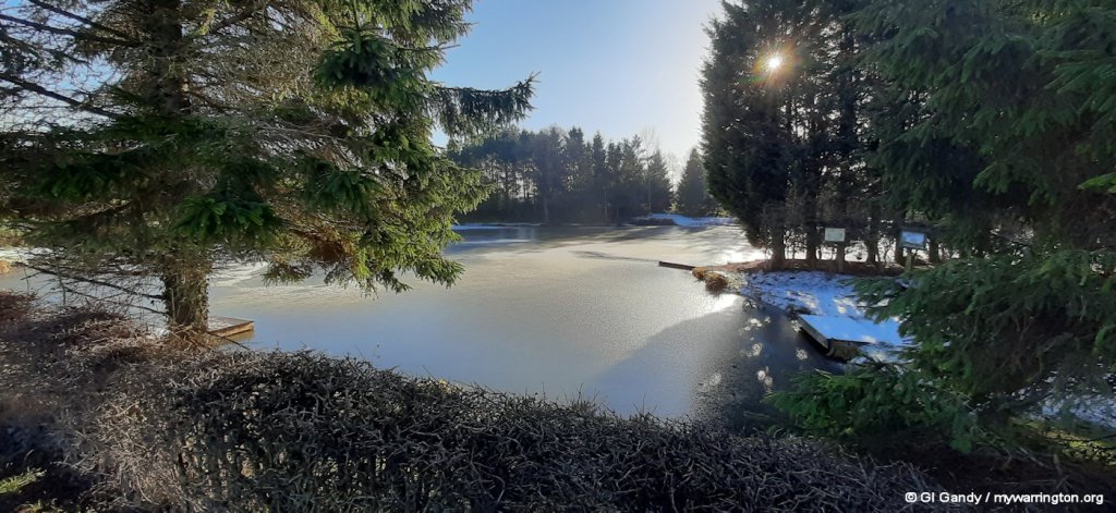
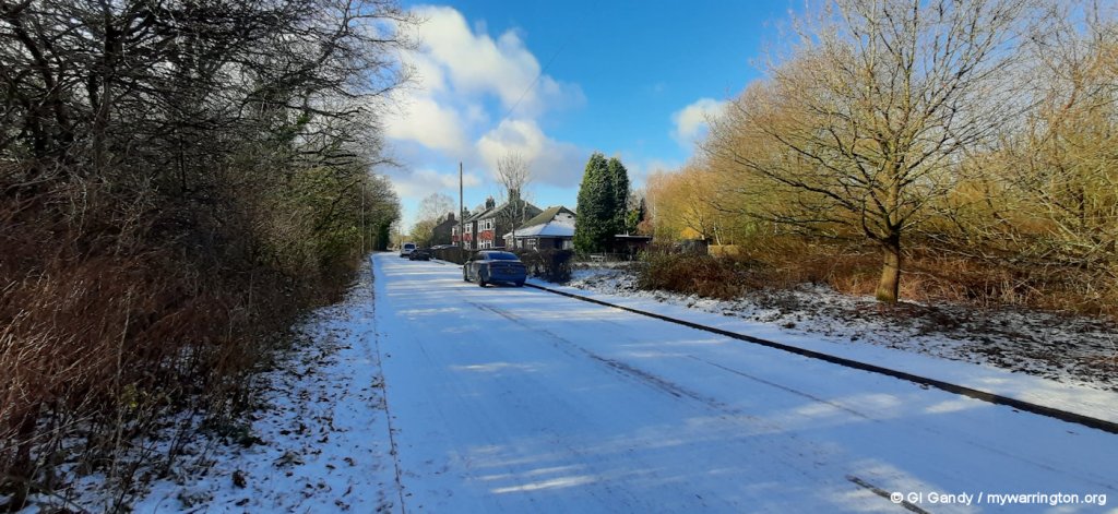
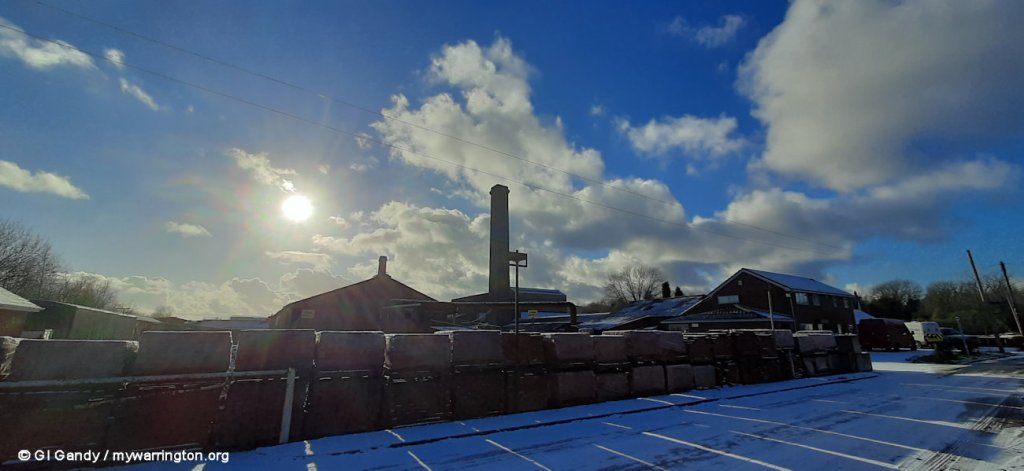
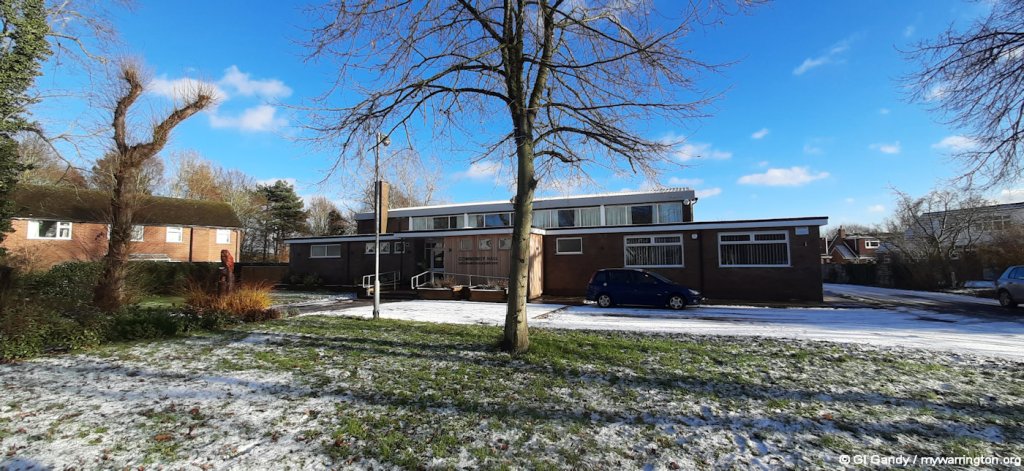
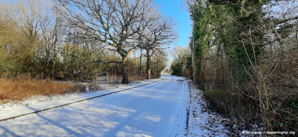
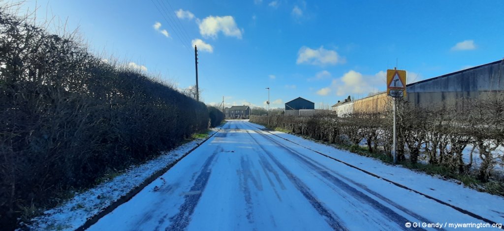
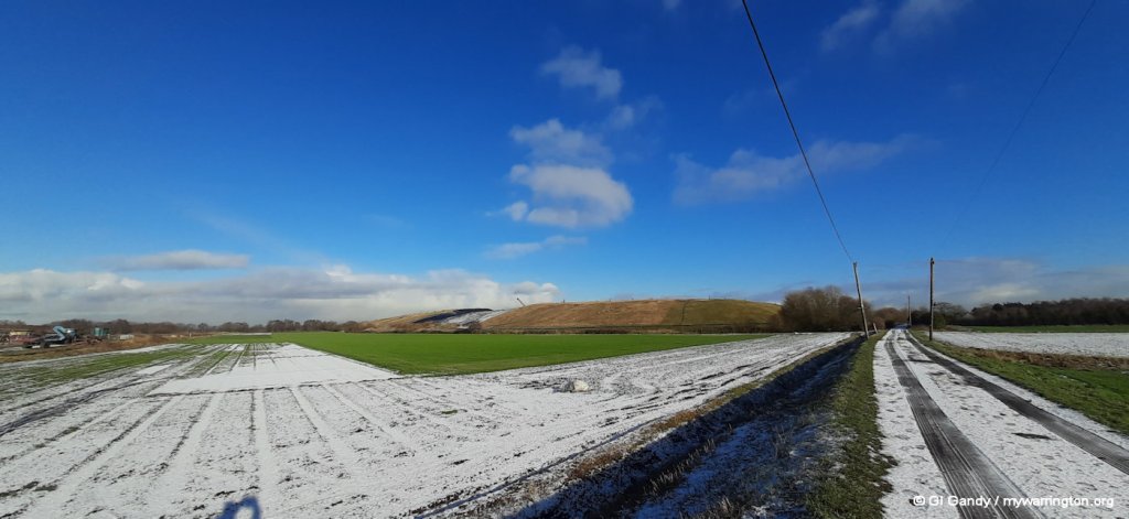
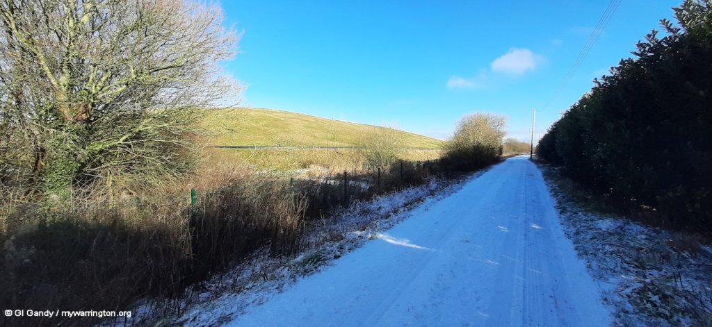
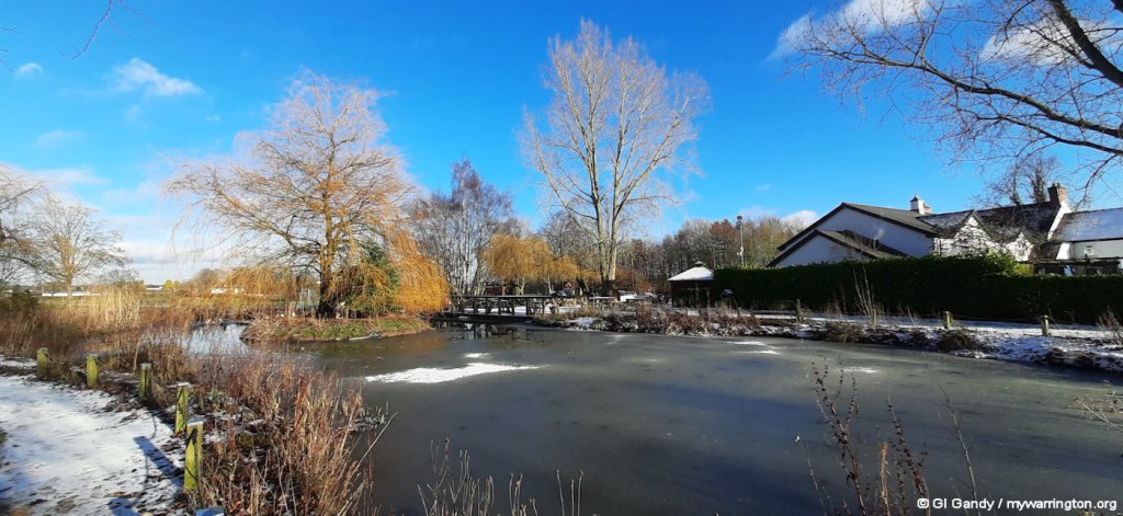
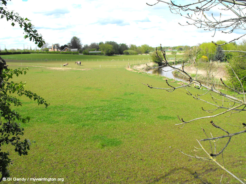
Wintertime in Rixton and Hollinfare.
The next images show the site of the Hollinfare Ferry on the river Mersey and Manchester Ship Canal, which nowadays run into each other at this location.
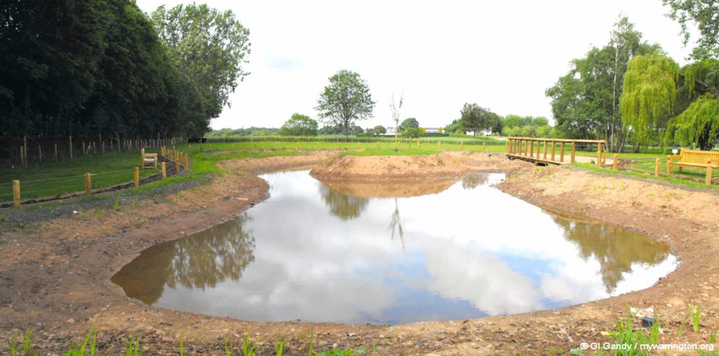
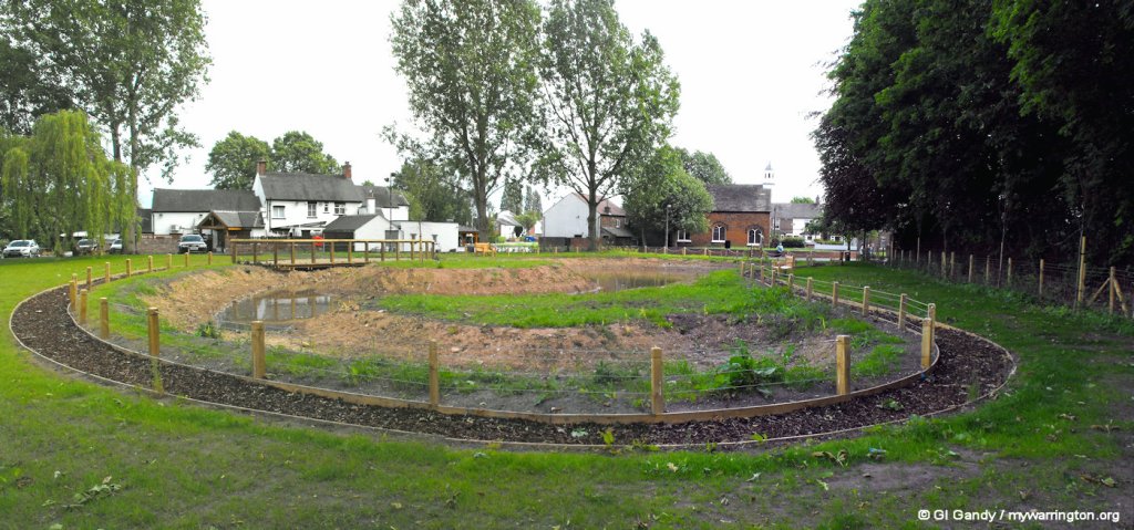
Behind the Black Swan pub is a village pond. I first visited it during construction and went back again when it was completed.
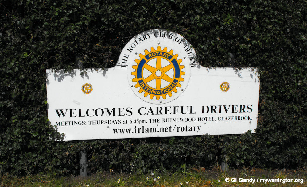
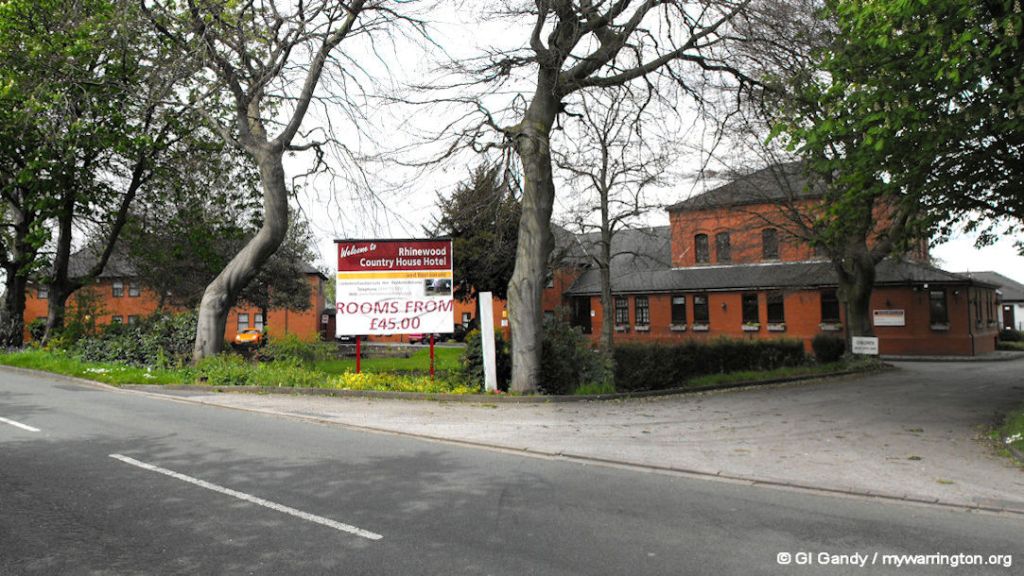
The Irlam Rotary club meets at the Rhinewood Country House Hotel on Glazebrook Lane.
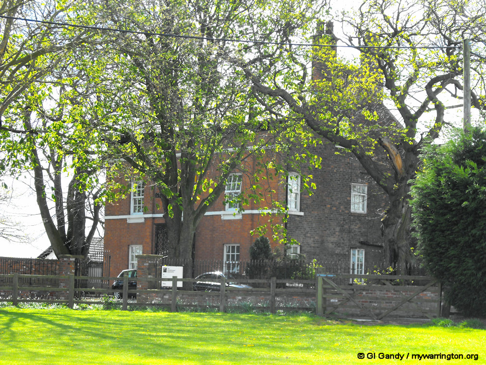
Also in Glazebrook is Mount Pleasant on Glazebrook Lane, close to the boundary with Hollins Green. This is the farmhouse of Mount Pleasant Farm and was built in 1851. It is now called The Manor House and is a five-bedroom property. It was up for sale in 2025 with full planning consent for conversion back into a residential dwelling, The Manor House, is accessed via a picturesque tree-lined road, and stands as a testament to grandeur awaiting restoration into a breathtaking family abode, so says the estate agent’s description.
Glazebrook Station was opened on 2 September 1873 by the Cheshire Lines Committee.


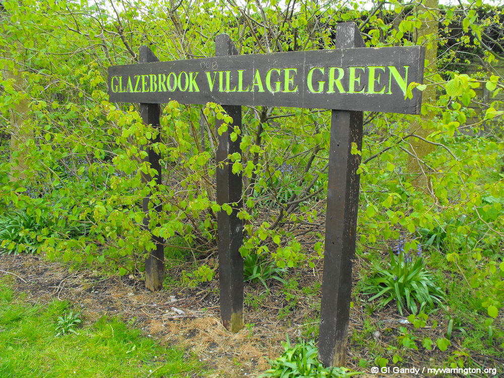
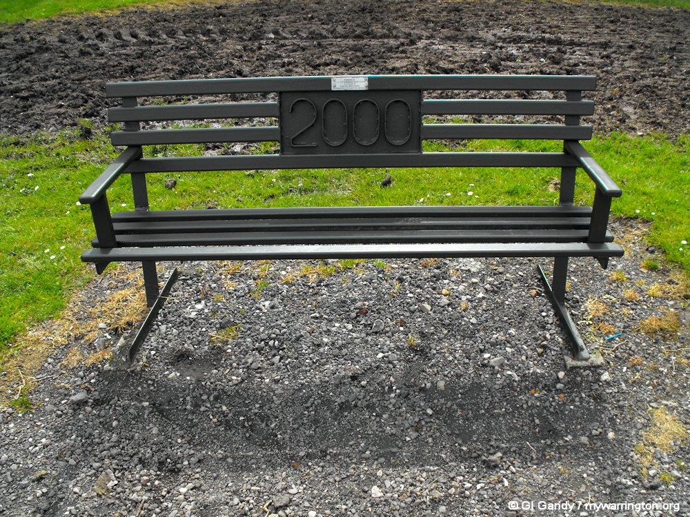
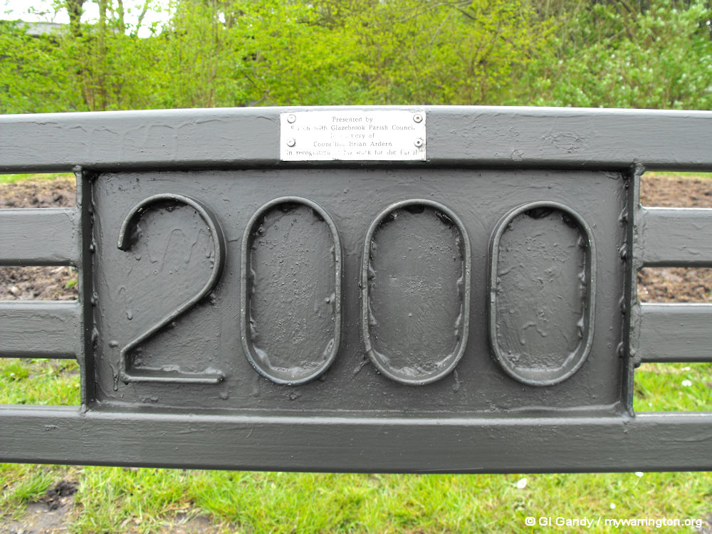
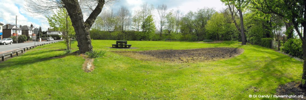
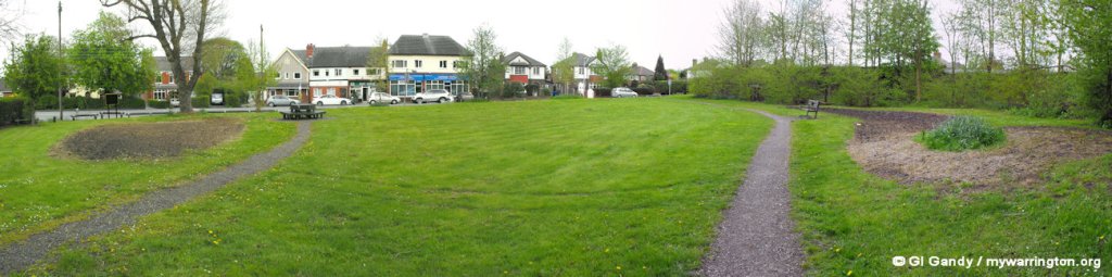
Glazebrook Village Green was created in 2000 when so many areas of the country, even the world, wanted to leave their mark on the new century.
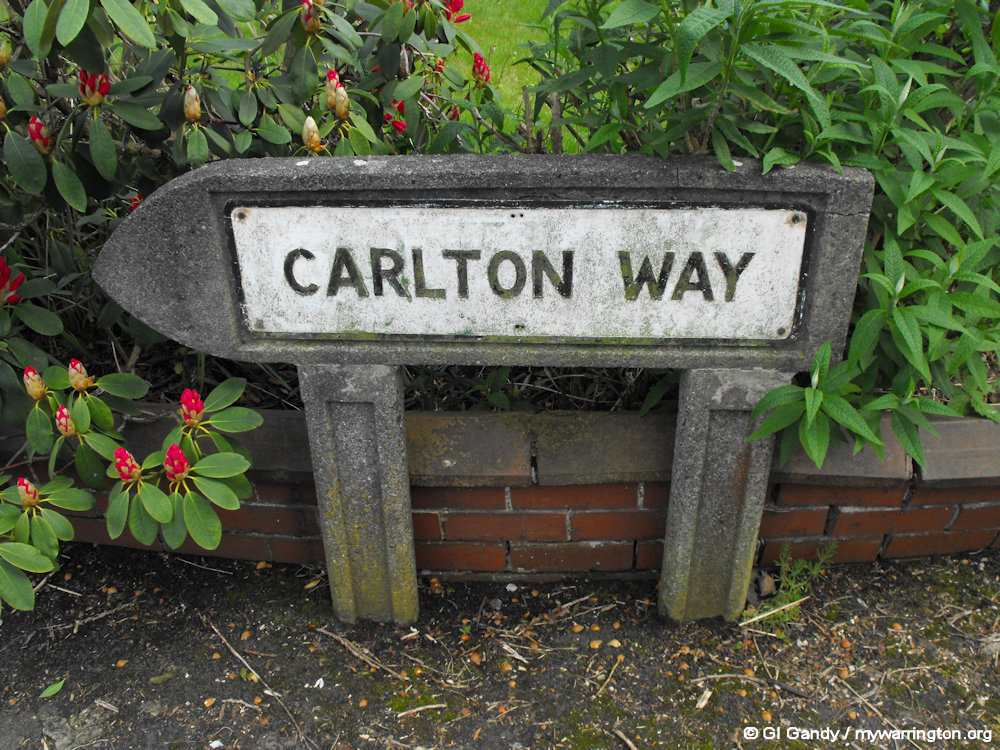
Down to the Borderline – Cadishead is separated from Glazebrook by the Glaze Brook, also known as the River Glaze. In the area now known as Carlton Way stood Glazebrook Hall.
Down the Farm
Glazebrook Lane
Other buildings/places mentioned in the old maps include a police station, a smithy and a temperance hall.
And Finally…
You might find rixtonwithglazebrook.net/local-history/ useful. It features a timeline of the district’s history.
